Black Rash Wood
Wood, Forest in Yorkshire Richmondshire
England
Black Rash Wood
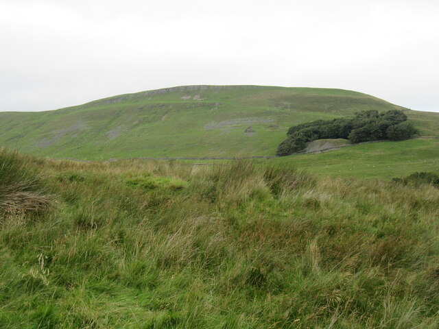
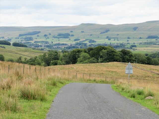
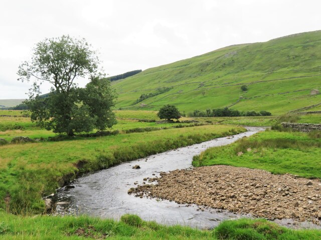
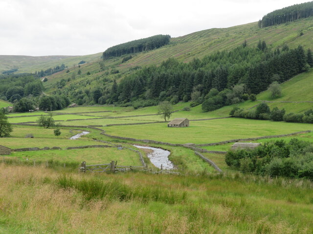
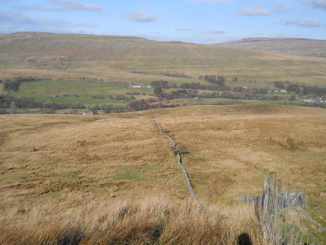
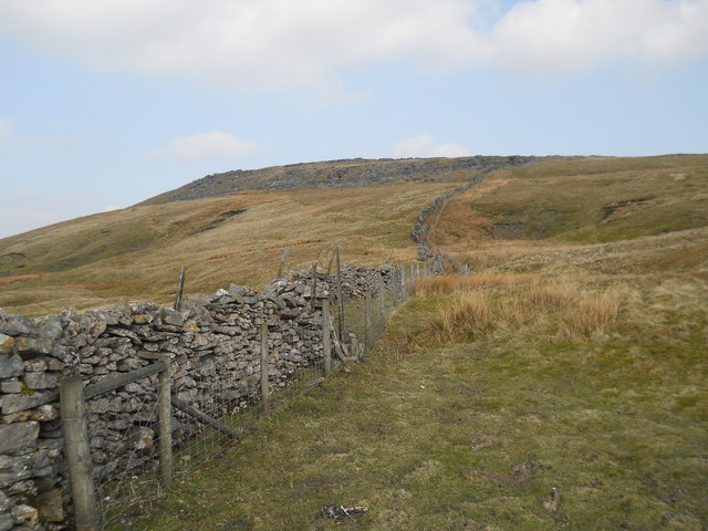
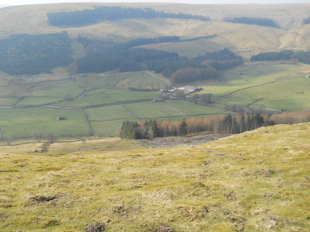
Black Rash Wood, located in Yorkshire, is a picturesque forest renowned for its natural beauty and diverse wildlife. Spanning over a vast area, this woodland is a popular destination for nature enthusiasts and hikers alike.
The forest is characterized by its dense canopy of towering trees that provide ample shade and create a serene atmosphere. The dominant tree species found here include oak, beech, and birch, which contribute to the vibrant colors of the forest throughout the year. The forest floor is covered with a thick carpet of moss, ferns, and wildflowers, adding to the enchanting ambiance.
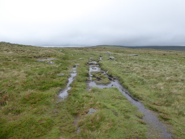
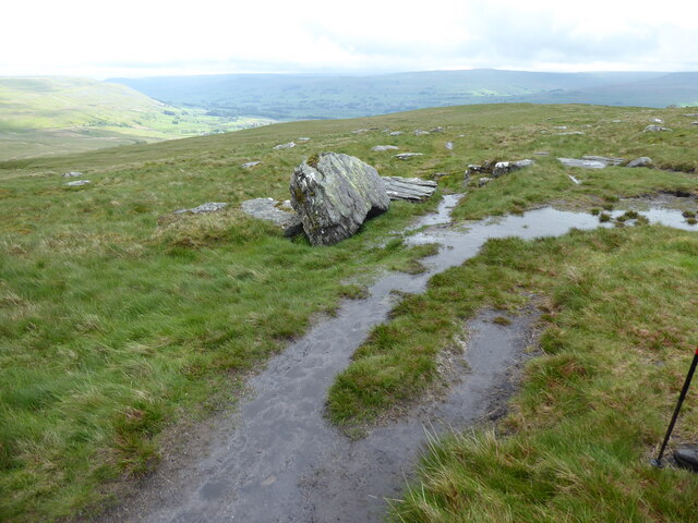
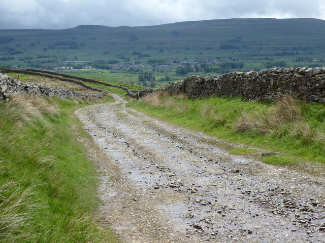
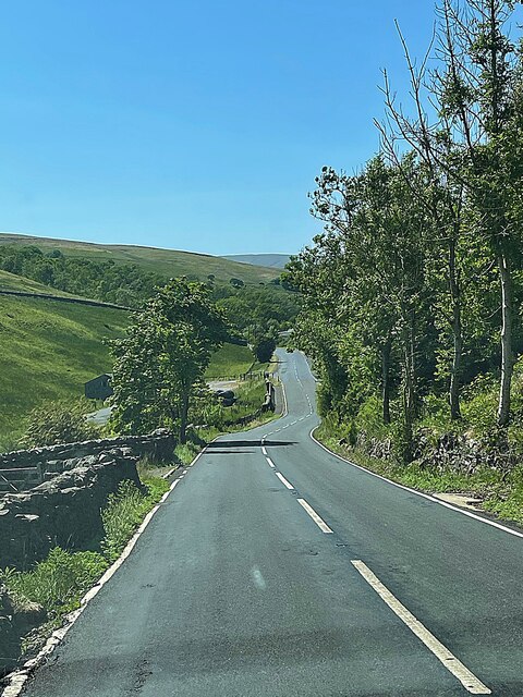
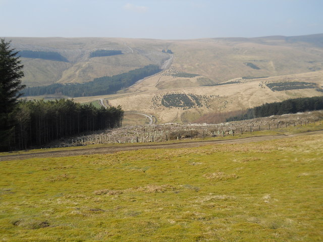
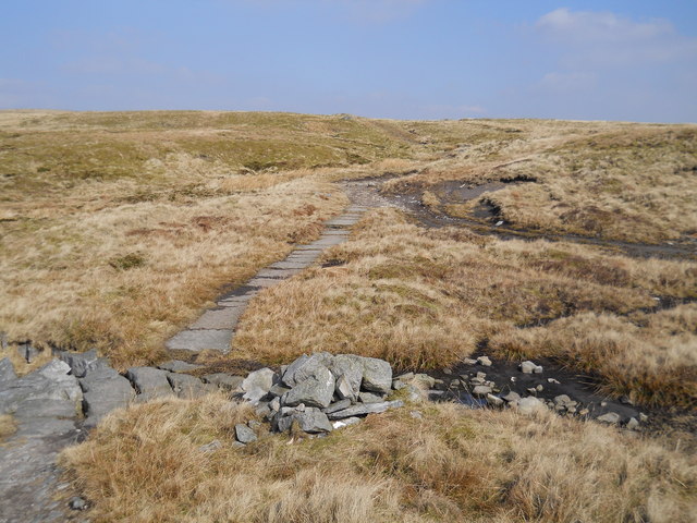
One of the notable features of Black Rash Wood is its extensive network of walking trails, making it an ideal location for outdoor activities. These well-maintained paths wind through the forest, providing visitors with the opportunity to explore the diverse flora and fauna that call this woodland home. Birdwatchers will be delighted to spot various species, including woodpeckers, owls, and warblers.
Furthermore, Black Rash Wood is also home to a variety of mammals, such as deer, badgers, and foxes. Observing these animals in their natural habitat is a common sight for visitors. The forest is managed by local authorities to maintain a healthy ecosystem and preserve its natural beauty for generations to come.
In conclusion, Black Rash Wood is a captivating woodland in Yorkshire, offering an immersive experience in nature. With its scenic trails, abundant wildlife, and breathtaking landscapes, this forest is a haven for anyone seeking solace and tranquility in the great outdoors.
If you have any feedback on the listing, please let us know in the comments section below.
Black Rash Wood Images
Images are sourced within 2km of 54.332684/-2.2450002 or Grid Reference SD8493. Thanks to Geograph Open Source API. All images are credited.


Black Rash Wood is located at Grid Ref: SD8493 (Lat: 54.332684, Lng: -2.2450002)
Division: North Riding
Administrative County: North Yorkshire
District: Richmondshire
Police Authority: North Yorkshire
What 3 Words
///stutter.resolves.bronzed. Near Kirkby Stephen, Cumbria
Nearby Locations
Related Wikis

Cotterdale
Cotterdale is a small side dale and hamlet on the north side of Wensleydale in North Yorkshire, England. The dale lies to the west of Great Shunner Fell...

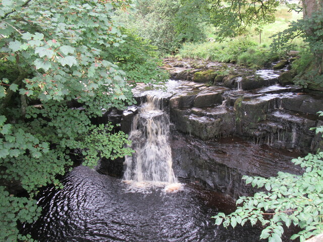
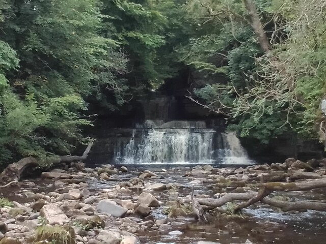
Cotter Force
Cotter Force is a small waterfall on Cotterdale Beck, a minor tributary of the River Ure, near the mouth of Cotterdale, a side dale in Wensleydale, North...

Appersett
Appersett is a hamlet in the Yorkshire Dales in the Richmondshire district of North Yorkshire, England one mile (1.6 km) west of Hawes. It lies on the...

Hardraw Force
Hardraw Force (OS grid ref: SD869917) is a waterfall on Hardraw Beck in Hardraw Scar, a wooded ravine just outside the hamlet of Hardraw, 0.9 miles (1...
Nearby Amenities
Located within 500m of 54.332684,-2.2450002Have you been to Black Rash Wood?
Leave your review of Black Rash Wood below (or comments, questions and feedback).