Creeksea
Settlement in Essex Maldon
England
Creeksea

Creeksea is a small village located in the county of Essex, England. Situated on the north bank of the River Crouch, it is part of the wider district of Maldon. The village is surrounded by picturesque countryside and offers a tranquil and idyllic setting for residents and visitors alike.
Creeksea is renowned for its rich history, with evidence of human habitation dating back thousands of years. The area was once home to a Saxon settlement and later played a vital role in the wool trade during the medieval period. Today, remnants of its past can be seen in the form of historic buildings and landmarks scattered throughout the village.
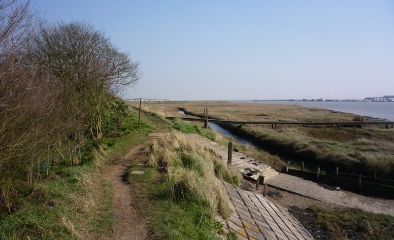
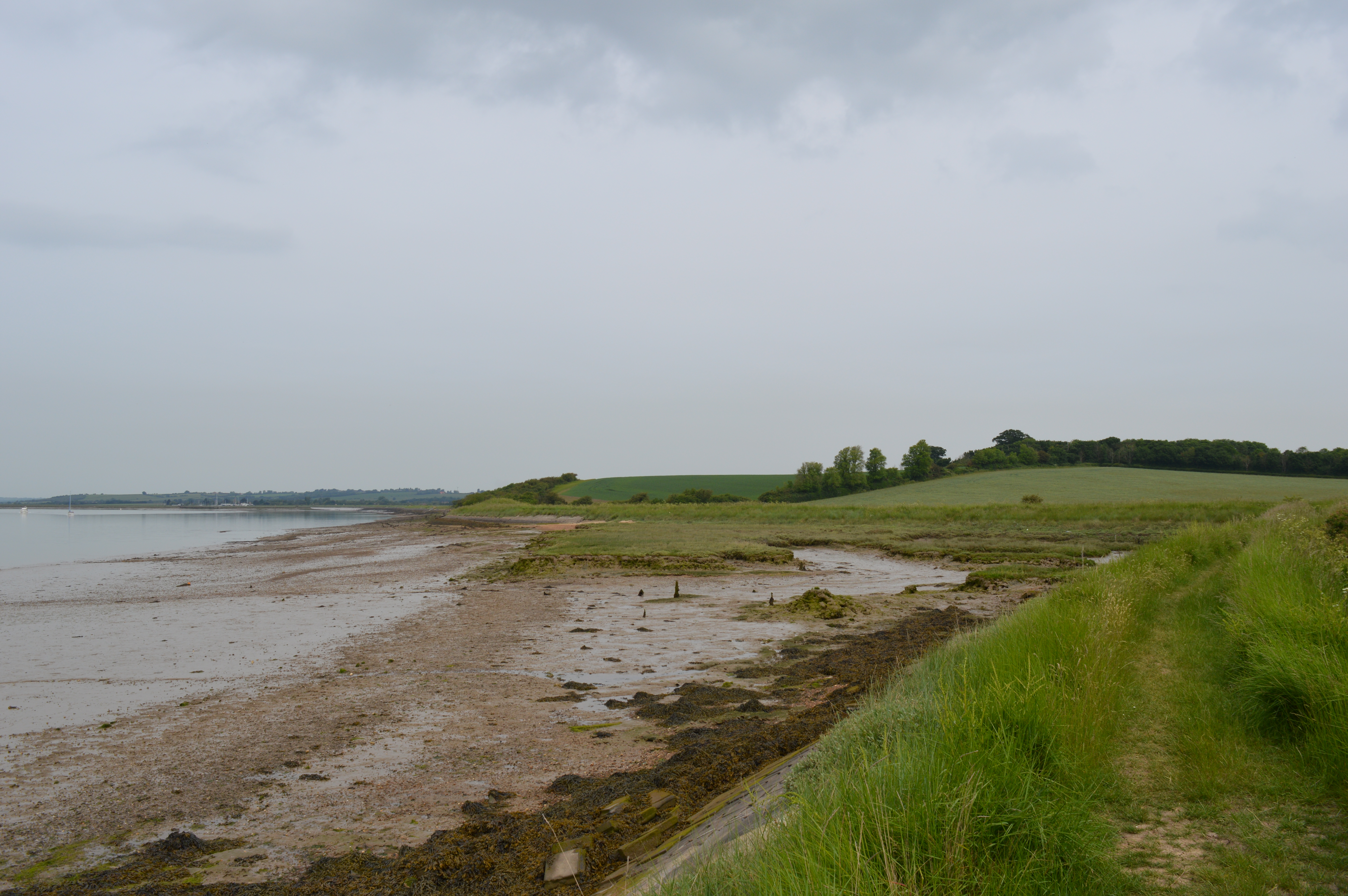
One of the standout features of Creeksea is its stunning natural beauty. The River Crouch provides a picturesque backdrop, offering opportunities for leisurely walks along its banks or boat trips to explore the surrounding waterways. The village is also home to Creeksea Place Barns, a popular wedding venue and holiday accommodation, which adds to its charm.
The village is well-served by amenities, including a village hall, a local pub, and a golf course. The nearby town of Burnham-on-Crouch offers a wider range of shops, restaurants, and services, ensuring residents have easy access to everything they need.
Creeksea's location also makes it an ideal base for exploring the wider Essex region. With its close proximity to the coast and the stunning Dengie Peninsula, visitors can enjoy sandy beaches, nature reserves, and a variety of outdoor activities.
In summary, Creeksea is a small village in Essex that offers a peaceful setting, rich history, and natural beauty, making it an attractive destination for both residents and tourists.
If you have any feedback on the listing, please let us know in the comments section below.
Creeksea Images
Images are sourced within 2km of 51.629625/0.79197 or Grid Reference TQ9396. Thanks to Geograph Open Source API. All images are credited.


Creeksea is located at Grid Ref: TQ9396 (Lat: 51.629625, Lng: 0.79197)
Administrative County: Essex
District: Maldon
Police Authority: Essex
What 3 Words
///hatch.replaying.conceals. Near Burnham-on-Crouch, Essex
Nearby Locations
Related Wikis
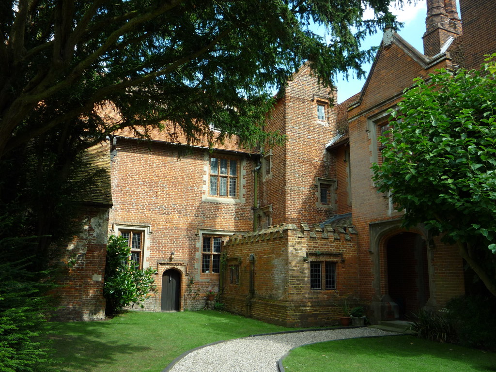
Creeksea Place
Creeksea Place is located near to the town of Burnham-on-Crouch in the Essex countryside of eastern England. Originally built in 1569, the estate retains...
Creeksea
Creeksea is a village and former civil parish, now in the parish of Burnham-on-Crouch, in the Maldon district, in the county of Essex, England. It is on...

Burnham Ramblers F.C.
Burnham Ramblers Football Club is a football club based in Burnham-on-Crouch, Essex, England. They are currently members of the Eastern Counties League...
The Cliff, Burnham-on-Crouch
The Cliff, Burnham-on-Crouch is a 4 hectare geological Site of Special Scientific Interest (SSSI) on the bank of the River Crouch between Burnham-on-Crouch...
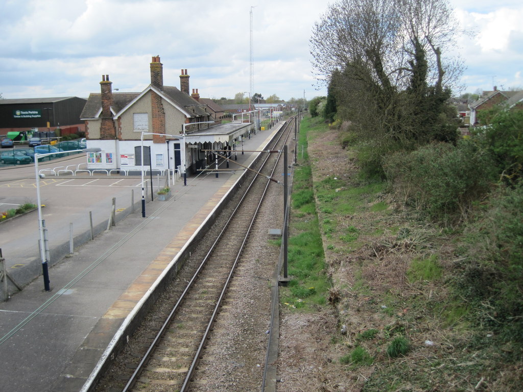
Burnham-on-Crouch railway station
Burnham-on-Crouch railway station is on the Crouch Valley Line in the East of England, serving the town of Burnham-on-Crouch, Essex. It is 43 miles 24...
Ostend, Essex
Ostend is a hamlet in the English county of Essex. It is located about a mile north-west of the town of Burnham-on-Crouch where the population is included...

Burnham-on-Crouch
Burnham-on-Crouch is a town and civil parish in the Maldon District of Essex, in the East of England; it lies on the north bank of the River Crouch. It...
Burnham-on-Crouch & District Museum
The Burnham-on-Crouch and District Museum, located in Burnham-on-Crouch, Essex, is a registered charity run by members of the Burnham History Society,...
Nearby Amenities
Located within 500m of 51.629625,0.79197Have you been to Creeksea?
Leave your review of Creeksea below (or comments, questions and feedback).