Black Pasture Plantation

Wood, Forest in Yorkshire Ribble Valley

England

Black Pasture Plantation

Ordnance Survey Cut Mark This mark can be found on a field gatepost beside knot Lane at White Hill.
The benchmark has a recorded height of 153.6954 metres above sea level.
For more detail see : <span class="nowrap"><a title="https://www.bench-marks.org.uk/bm121976" rel="nofollow ugc noopener" href="https://www.bench-marks.org.uk/bm121976">Link</a><img style="margin-left:2px;" alt="External link" title="External link - shift click to open in new window" src="https://s1.geograph.org.uk/img/external.png" width="10" height="10"/></span>
Ordnance Survey Cut Mark Credit: Peter Wood

Black Pasture Plantation is a picturesque woodland located in the county of Yorkshire, England. Situated near the village of Wood, the plantation covers a vast area of land, creating a serene and tranquil atmosphere for visitors to enjoy.

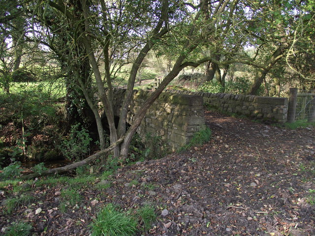
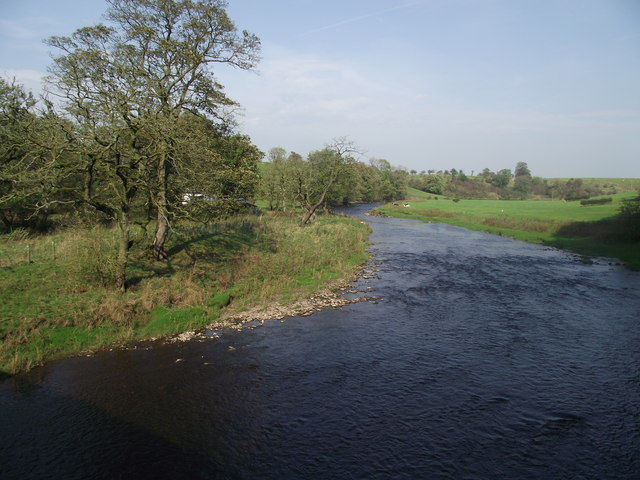
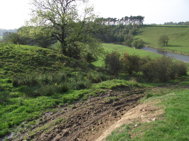
The plantation is known for its dense forest, which is mainly comprised of various species of trees, including oak, beech, and birch. This diverse range of trees creates a rich tapestry of colors, especially during the autumn season when the leaves turn vibrant shades of red, orange, and gold. The forest floor is covered in a blanket of moss and ferns, adding to the enchanting beauty of the woodland.

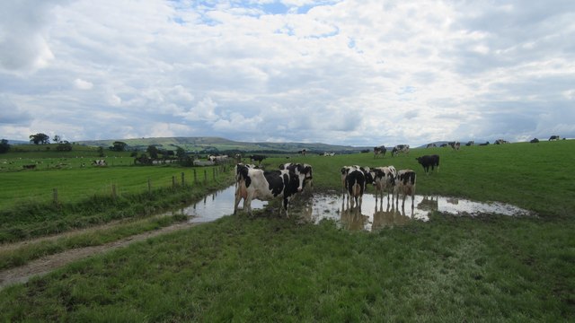
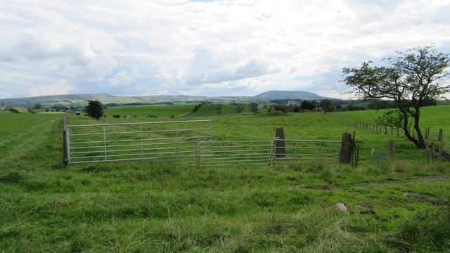
Home to a wide array of wildlife, Black Pasture Plantation provides a natural habitat for numerous species. Visitors may be lucky enough to spot woodland creatures such as deer, foxes, and various species of birds. The plantation is also home to a variety of insects, including butterflies and beetles.

The woodland is a popular destination for nature enthusiasts, hikers, and photographers, who are drawn to its natural beauty and peaceful ambiance. Several well-maintained trails crisscross the plantation, allowing visitors to explore the area and take in the breathtaking scenery. Along these trails, there are also designated picnic areas and benches where visitors can rest and admire the surroundings.

Overall, Black Pasture Plantation is a hidden gem nestled in the heart of Yorkshire. Its stunning woodland, diverse wildlife, and tranquil atmosphere make it a must-visit destination for those seeking a peaceful retreat in nature.

If you have any feedback on the listing, please let us know in the comments section below.

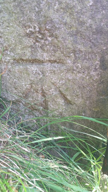
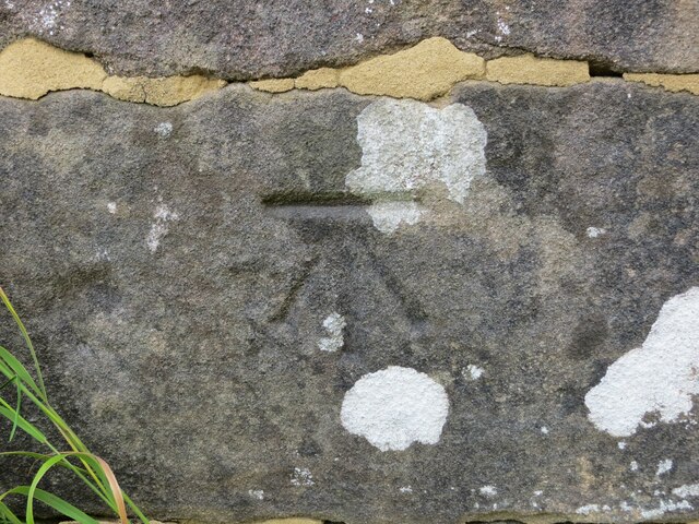
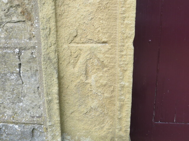
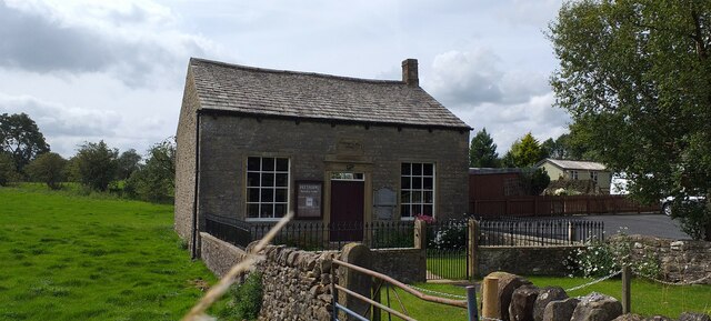
Black Pasture Plantation Images

Images are sourced within 2km of 53.950383/-2.2459209 or Grid Reference SD8350. Thanks to Geograph Open Source API. All images are credited.

Ordnance Survey Cut Mark This mark can be found on a field gatepost beside knot Lane at White Hill.
The benchmark has a recorded height of 153.6954 metres above sea level.
For more detail see : <span class="nowrap"><a title="https://www.bench-marks.org.uk/bm121976" rel="nofollow ugc noopener" href="https://www.bench-marks.org.uk/bm121976">Link</a><img style="margin-left:2px;" alt="External link" title="External link - shift click to open in new window" src="https://s1.geograph.org.uk/img/external.png" width="10" height="10"/></span>
Ordnance Survey Cut Mark
This mark can be found on a field gatepost beside knot Lane at White Hill. The benchmark has a recorded height of 153.6954 metres above sea level. For more detail see : LinkExternal link
Ordnance Survey Cut Mark This mark can be found on the parapet wall of Paythorne Bridge
The benchmark has a recorded height of 104.7627 metres above sea level.
For more detail see : <span class="nowrap"><a title="https://www.bench-marks.org.uk/bm45450" rel="nofollow ugc noopener" href="https://www.bench-marks.org.uk/bm45450">Link</a><img style="margin-left:2px;" alt="External link" title="External link - shift click to open in new window" src="https://s1.geograph.org.uk/img/external.png" width="10" height="10"/></span>
Ordnance Survey Cut Mark
This mark can be found on the parapet wall of Paythorne Bridge The benchmark has a recorded height of 104.7627 metres above sea level. For more detail see : LinkExternal link
Ordnance Survey Cut Mark This mark can be found beside the doorway to Paythorne Methodist Church.
The benchmark has a recorded height of 132.7892 metres above sea level.
For more detail see : <span class="nowrap"><a title="https://www.bench-marks.org.uk/bm101370" rel="nofollow ugc noopener" href="https://www.bench-marks.org.uk/bm101370">Link</a><img style="margin-left:2px;" alt="External link" title="External link - shift click to open in new window" src="https://s1.geograph.org.uk/img/external.png" width="10" height="10"/></span>
Ordnance Survey Cut Mark
This mark can be found beside the doorway to Paythorne Methodist Church. The benchmark has a recorded height of 132.7892 metres above sea level. For more detail see : LinkExternal link
Paythorne Methodist Chapel Paythorne Methodist Church is the only church building in the small hamlet of Paythorne and is Grade 2 listed, dating from 1830.
Paythorne Methodist Chapel
Paythorne Methodist Church is the only church building in the small hamlet of Paythorne and is Grade 2 listed, dating from 1830.
Cows on Bridleway / footpath junction Looking South back towards footpath / bridleway junction near Horton
Cows on Bridleway / footpath junction
Looking South back towards footpath / bridleway junction near Horton
Gates tied across bridleway Looking South West down bridleway with tied gates across
Gates tied across bridleway
Looking South West down bridleway with tied gates across
Ordnance Survey Cut Mark This mark can be found on the wall of St Mary's Church, Gisburn
The benchmark has a recorded height of 138.3304 metres above sea level.
For more detail see : <span class="nowrap"><a title="https://www.bench-marks.org.uk/bm36317" rel="nofollow ugc noopener" href="https://www.bench-marks.org.uk/bm36317">Link</a><img style="margin-left:2px;" alt="External link" title="External link - shift click to open in new window" src="https://s1.geograph.org.uk/img/external.png" width="10" height="10"/></span>
Ordnance Survey Cut Mark
This mark can be found on the wall of St Mary's Church, Gisburn The benchmark has a recorded height of 138.3304 metres above sea level. For more detail see : LinkExternal link
Horton bridge The benchmark is cut into the eastern parapet of the bridge.
Horton bridge
The benchmark is cut into the eastern parapet of the bridge.
Horton bridge There is a benchmark cut into the eastern parapet of the bridge. It is located to the right of the small concrete support seen in the centre of the picture.
Horton bridge
There is a benchmark cut into the eastern parapet of the bridge. It is located to the right of the small concrete support seen in the centre of the picture.
Gutteridge Farm
Gutteridge Farm
Fields East of Gisburn
Gisburne Park Railway Tunnel Turrets A curious view of mock castle turrets in parkland, disguising a railway line
Gisburne Park Railway Tunnel Turrets
A curious view of mock castle turrets in parkland, disguising a railway line
Gisburne Park Entrance Lodges At the south entrance at the end of Park Road from the centre of Gisburn
Gisburne Park Entrance Lodges
At the south entrance at the end of Park Road from the centre of Gisburn
The Buck, Paythorne The inn is typical of many country pubs in that its main source of income now seems to be from dining rather than drinking.
The Buck, Paythorne
The inn is typical of many country pubs in that its main source of income now seems to be from dining rather than drinking.
Manor House Farmhouse, Paythorne The farmers, Mr. and Mrs. Calvert, have a herd of 180 pedigree Holstein cows. The farm featured in the October 2011 edition of Lancashire Life magazine.
Manor House Farmhouse, Paythorne
The farmers, Mr. and Mrs. Calvert, have a herd of 180 pedigree Holstein cows. The farm featured in the October 2011 edition of Lancashire Life magazine.
Bridge over a stream near Paythorne Bridge The bridge is part of a public footpath. The stream is only metres away from its confluence with the River Ribble
Bridge over a stream near Paythorne Bridge
The bridge is part of a public footpath. The stream is only metres away from its confluence with the River Ribble
River Ribble at Paythorne Bridge Looking north east.
River Ribble at Paythorne Bridge
Looking north east.
Looking down to the Ribble From the Ribble Way. Heavy vehicles have recently churned up the ground.
Looking down to the Ribble
From the Ribble Way. Heavy vehicles have recently churned up the ground.
Show me another place!

Black Pasture Plantation is located at Grid Ref: SD8350 (Lat: 53.950383, Lng: -2.2459209)

Division: West Riding

Administrative County: Lancashire

District: Ribble Valley

Police Authority: Lancashire

What 3 Words

///songbird.speeches.octopus. Near Barnoldswick, Lancashire

Related Wikis

Newsholme railway station

Newsholme railway station was a railway station that served the small village of Newsholme in Lancashire. It was built by the Lancashire and Yorkshire...

Newsholme, Lancashire

Newsholme is a small village and civil parish in the Ribble Valley, Lancashire, England, but lies within the historic West Riding of Yorkshire. According...

Stock Beck

Stock Beck is a minor river in the West Craven area of Pendle, Lancashire (formerly in Yorkshire). It is 8.25 miles (13.27 km) long and has a catchment...

Horton, Lancashire

Horton, historically known as Horton-in-Craven, is a village and a civil parish in the Ribble Valley district of the English county of Lancashire (historically...

Paythorne

Paythorne is a small village and civil parish in Ribble Valley, Lancashire, England. It is situated alongside the River Ribble, north-east of Clitheroe...

Gisburne Park

Gisburne Park is an 18th-century country house and associated park in Gisburn, Lancashire, England, in the Ribble Valley some 6 miles (10 km) north-east...

A59 road

The A59 is a major road in England which is around 109 miles (175 km) long and runs from Wallasey, Merseyside to York, North Yorkshire. The alignment formed...

Gisburn Tunnel

Gisburn Tunnel is a short railway tunnel on the Ribble Valley line in Lancashire, England. The tunnel is 157 yards (144 m) long, just to the east of Gisburn...

Related Videos

Paythorne payphone

The payphone in the Lancashire village of Paythorne.

Nearby Amenities

Located within 500m of 53.950383,-2.2459209
Whin Hill
Natural: peak
Source: OS 1:25k
Lat/Long: 53.9510149/-2.2473261
Saw Hill
Natural: peak
Source: OS 1:25k
Lat/Long: 53.9517725/-2.24282
Power: pole
Lat/Long: 53.9463452/-2.2431582
Power: pole
Lat/Long: 53.9466167/-2.2444671
Power: pole
Lat/Long: 53.946874/-2.2457895
Power: pole
Lat/Long: 53.9471502/-2.2471547
Power: pole
Lat/Long: 53.9474281/-2.2485065
Power: pole
Lat/Long: 53.9476901/-2.2498879
Power: pole
Lat/Long: 53.9479482/-2.2513081
Power: pole
Lat/Long: 53.9480752/-2.2519129
Power: pole
Lat/Long: 53.9475196/-2.2512263
Power: pole
Lat/Long: 53.9477454/-2.2520551
Power: pole
Lat/Long: 53.9487398/-2.2522509
Power: pole
Lat/Long: 53.9495875/-2.2524655
Power: pole
Lat/Long: 53.9504225/-2.2526827
Power: pole
Lat/Long: 53.9511533/-2.2528088
The data included in this document is from www.openstreetmap.org. The data is made available under ODbL.

Have you been to Black Pasture Plantation?

Leave your review of Black Pasture Plantation below (or comments, questions and feedback).