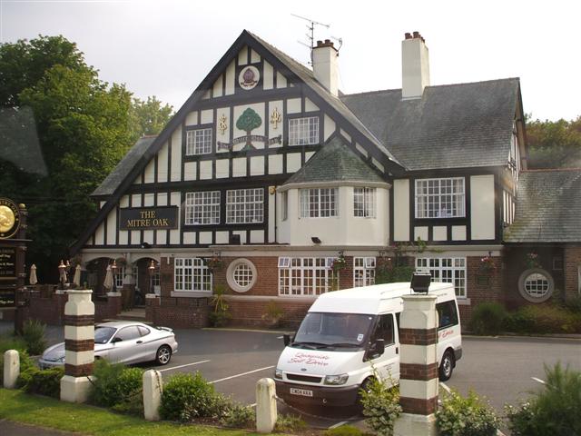
Bishop's Wood
Wood, Forest in Worcestershire Wychavon
England
Bishop's Wood

Bishop's Wood is a picturesque village located in the county of Worcestershire, England. Situated within the heart of the county, this charming village is known for its scenic beauty and its rich history. The village is named after the ancient woodland that surrounds it, known as Bishop's Wood Forest.
Covering an area of approximately 300 hectares, Bishop's Wood Forest is a haven for nature lovers and outdoor enthusiasts. The forest boasts a diverse range of flora and fauna, with ancient oak trees and a variety of wildflowers creating a stunning natural landscape. The forest is also home to a wide range of wildlife, including deer, foxes, and numerous bird species, making it a popular spot for birdwatching and wildlife spotting.
In addition to its natural beauty, Bishop's Wood is also known for its historical significance. The village has a rich heritage dating back centuries, with several historic buildings and landmarks scattered throughout the area. One notable landmark is Bishop's Wood Chapel, a Grade II listed building that dates back to the 12th century. The chapel's architecture and historical importance attract visitors from near and far.
Bishop's Wood is a close-knit community, with a small population that values its rural surroundings and tight-knit community spirit. The village offers a peaceful and tranquil lifestyle, away from the hustle and bustle of larger towns and cities.
Overall, Bishop's Wood, Worcestershire, with its stunning woodland, historical landmarks, and strong community spirit, offers a delightful retreat for those seeking natural beauty and a sense of history in the heart of England.
If you have any feedback on the listing, please let us know in the comments section below.
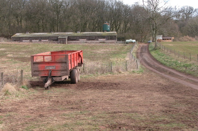
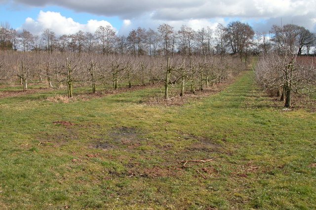
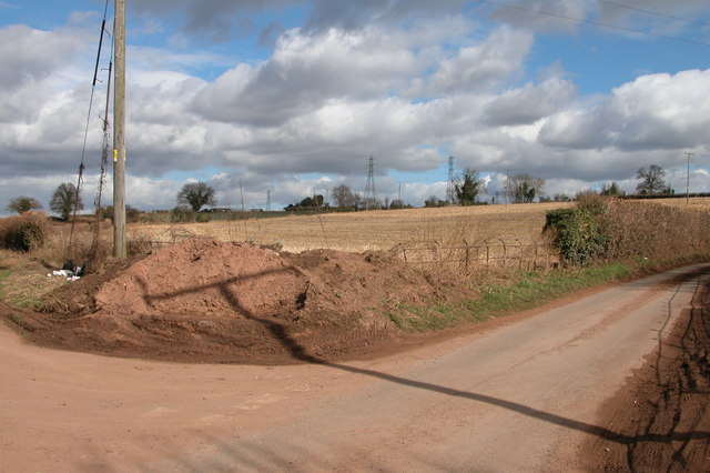
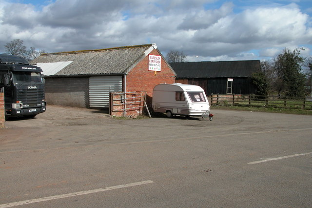
Bishop's Wood Images
Images are sourced within 2km of 52.311986/-2.2375085 or Grid Reference SO8368. Thanks to Geograph Open Source API. All images are credited.


Bishop's Wood is located at Grid Ref: SO8368 (Lat: 52.311986, Lng: -2.2375085)
Administrative County: Worcestershire
District: Wychavon
Police Authority: West Mercia
What 3 Words
///stiffly.skill.teardrop. Near Hartlebury, Worcestershire
Nearby Locations
Related Wikis

Crossway Green
Crossway Green is a village in Worcestershire, England.

Dunhampton
Dunhampton is a village in Worcestershire, England.

Hartlebury
Hartlebury is a village and civil parish in the Wychavon district of Worcestershire, England. It is 4 miles (6.4 km) south of Kidderminster. The village...

Snead's Green
Snead's Green, sometimes written Sneads Green, is an area of Droitwich Spa, Worcestershire, England.Francis Moule, of Snead's Green House, sold the manorial...

Hartlebury railway station
Hartlebury railway station serves the village of Hartlebury in Worcestershire, England. All trains serving the station are operated by West Midlands Trains...
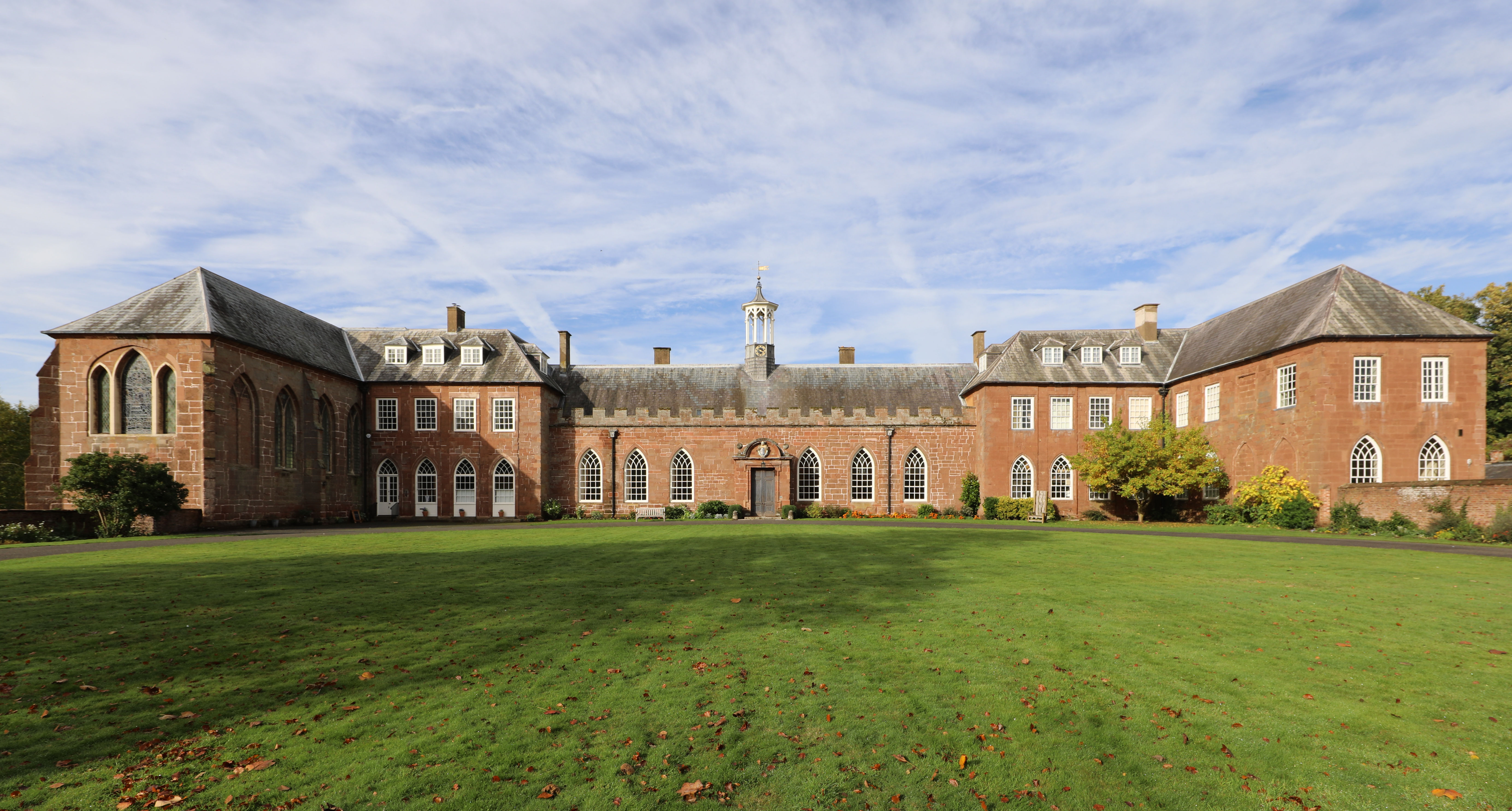
Hartlebury Castle
Hartlebury Castle, a Grade I listed building, near Hartlebury in Worcestershire, central England, was built in the mid-13th century as a fortified manor...
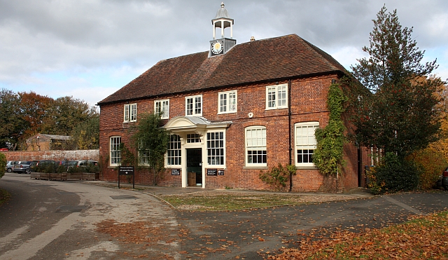
Worcestershire County Museum
Worcestershire County Museum is a local museum located within Hartlebury Castle in Hartlebury, Worcestershire, England, near the City of Worcester. The...
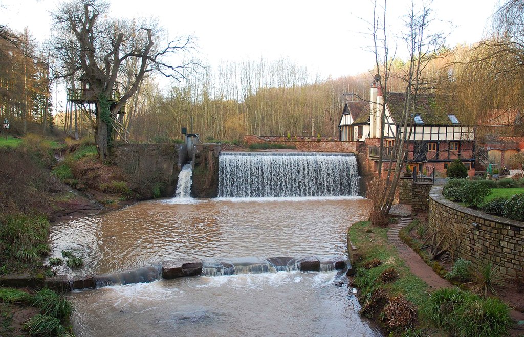
Dick Brook
Dick Brook is small tributary stream of the River Severn that flows through Worcestershire, England.The brook is formed from two small unnamed streams...
Nearby Amenities
Located within 500m of 52.311986,-2.2375085Have you been to Bishop's Wood?
Leave your review of Bishop's Wood below (or comments, questions and feedback).