Collier Holme Plantation
Wood, Forest in Yorkshire Richmondshire
England
Collier Holme Plantation

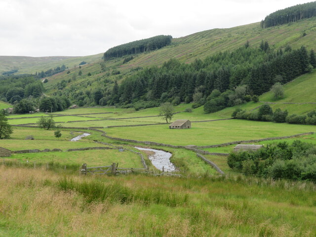
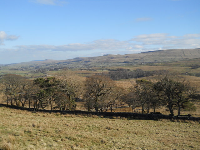
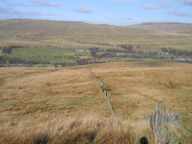
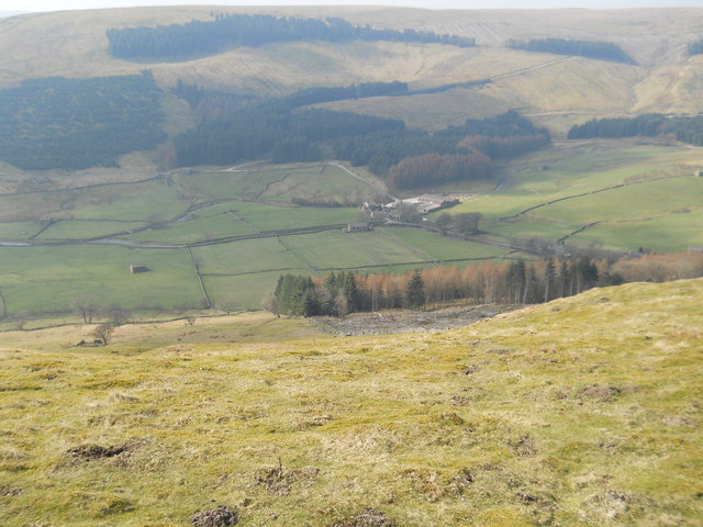
Collier Holme Plantation is a picturesque woodland located in Yorkshire, England. Situated in the heart of the county, this enchanting forest covers a vast area of approximately 500 acres. The plantation is renowned for its stunning natural beauty, making it a popular destination for nature enthusiasts, hikers, and photographers alike.
The woodland is characterized by its dense canopy of trees, composed mainly of deciduous species such as oak, beech, and birch. These tall, majestic trees create a serene and peaceful atmosphere within the plantation, providing a haven for a diverse range of wildlife. Visitors can spot a variety of birds, squirrels, and deer as they explore the well-maintained paths and trails that wind their way through the forest.
One of the notable features of Collier Holme Plantation is its well-preserved ancient woodland. This section of the plantation is believed to date back hundreds of years, adding a sense of historical significance to the area. Within this ancient woodland, visitors can find a rich tapestry of vibrant wildflowers, lichens, and mosses, creating a colorful and captivating display throughout the seasons.
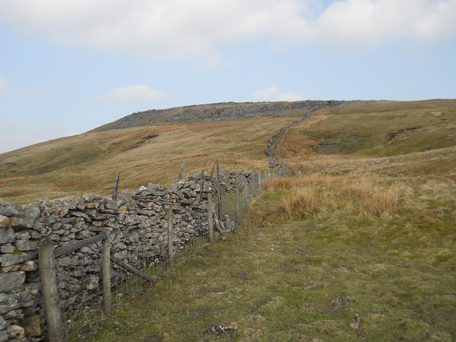
Collier Holme Plantation offers a range of recreational activities for visitors to enjoy. Whether it's a leisurely stroll along the woodland paths, a picnic amongst the trees, or birdwatching from one of the designated viewpoints, there is something for everyone to appreciate in this idyllic setting.
Overall, Collier Holme Plantation in Yorkshire is a captivating and serene woodland that showcases the beauty and diversity of the English countryside. It provides a perfect escape from the hustle and bustle of everyday life, allowing visitors to immerse themselves in the tranquility of nature.
If you have any feedback on the listing, please let us know in the comments section below.
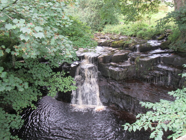
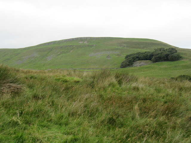
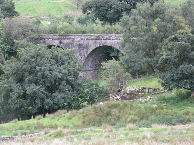
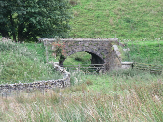
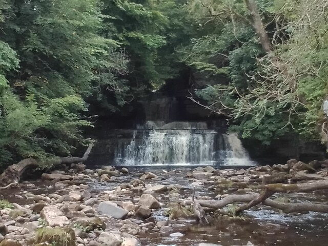
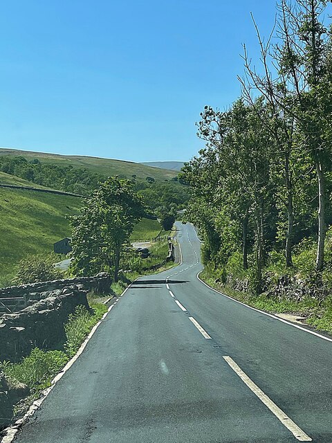
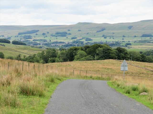
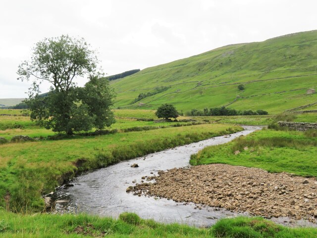
Collier Holme Plantation Images
Images are sourced within 2km of 54.323214/-2.252708 or Grid Reference SD8391. Thanks to Geograph Open Source API. All images are credited.


Collier Holme Plantation is located at Grid Ref: SD8391 (Lat: 54.323214, Lng: -2.252708)
Division: North Riding
Administrative County: North Yorkshire
District: Richmondshire
Police Authority: North Yorkshire
What 3 Words
///claim.resolves.arching. Near Sedbergh, Cumbria
Nearby Locations
Related Wikis

Cotter Force
Cotter Force is a small waterfall on Cotterdale Beck, a minor tributary of the River Ure, near the mouth of Cotterdale, a side dale in Wensleydale, North...

Cotterdale
Cotterdale is a small side dale and hamlet on the north side of Wensleydale in North Yorkshire, England. The dale lies to the west of Great Shunner Fell...

Appersett
Appersett is a hamlet in the Yorkshire Dales in the Richmondshire district of North Yorkshire, England one mile (1.6 km) west of Hawes. It lies on the...

Hardraw
Hardraw is a hamlet near Hawes within the Yorkshire Dales in North Yorkshire, England. It takes its name from the nearby Hardraw Force waterfall. The old...

St Mary and St John's Church, Hardraw
St Mary and St John's Church, Hardraw (also Hardrow) is a Grade II listed parish church in the Church of England: 181 in Hardraw, North Yorkshire. �...

Hardraw Force
Hardraw Force (OS grid ref: SD869917) is a waterfall on Hardraw Beck in Hardraw Scar, a wooded ravine just outside the hamlet of Hardraw, 0.9 miles (1...

Simonstone, North Yorkshire
Simonstone is a hamlet near Hawes and Hardraw Force within the Yorkshire Dales in North Yorkshire, England. == References ==
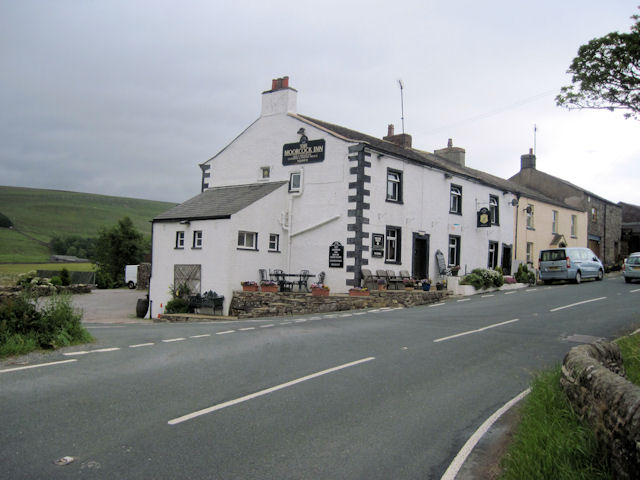
Moorcock Inn
The Moorcock Inn is a public house at the watershed of the Eden, Clough and Ure rivers, in Upper Wensleydale, North Yorkshire, England. It is adjacent...
Nearby Amenities
Located within 500m of 54.323214,-2.252708Have you been to Collier Holme Plantation?
Leave your review of Collier Holme Plantation below (or comments, questions and feedback).