Frieze Wood

Wood, Forest in Worcestershire Malvern Hills

England

Frieze Wood

Milestone, A38 at Baynhall The remains of a milestone beside the A38 at Baynhall to the south of the village of Kempsey.  Since photographing this milestone it has had the plate replaced, see: <a href="https://www.geograph.org.uk/photo/3057856">SO8547 : Milestone on Baynhall</a>
Milestone, A38 at Baynhall Credit: Philip Halling

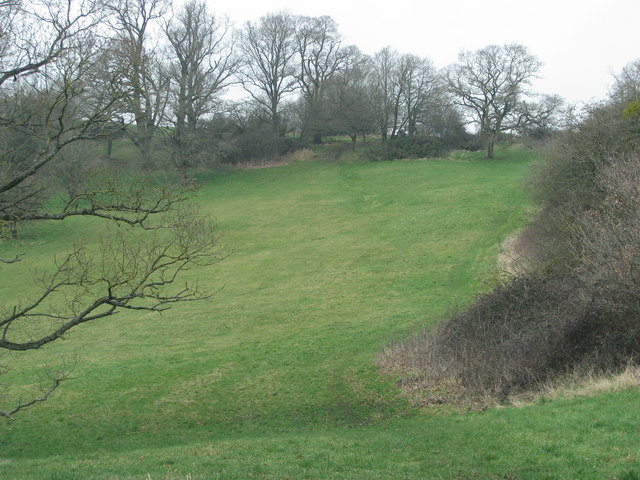
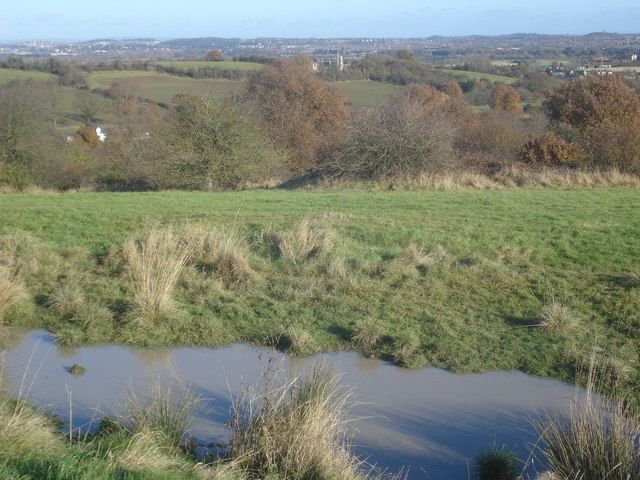
Frieze Wood is a picturesque forest located in Worcestershire, England. Covering an area of approximately 100 acres, it is nestled within the stunning landscape of the county. The wood is characterized by its dense canopy of trees, which include a variety of species such as oak, beech, and birch.

The forest is a haven for wildlife, providing a rich and diverse habitat for numerous species. Bird enthusiasts can spot a range of feathered residents, including woodpeckers, tawny owls, and various songbirds. Other animals that call Frieze Wood home include squirrels, foxes, and even the occasional deer.

The wood is a popular destination for nature lovers and outdoor enthusiasts. It offers several walking trails that wind their way through the enchanting woodland, allowing visitors to immerse themselves in the tranquility of nature. The paths meander alongside babbling brooks and lead to scenic viewpoints, offering breathtaking vistas of the surrounding countryside.

Frieze Wood holds historical significance as well. It is believed to have been part of the ancient Forest of Feckenham, which played a crucial role in the local economy during medieval times. Today, remnants of this history can still be found in the wood, with the presence of old boundary ditches and archaeological remains.

Overall, Frieze Wood is a captivating destination for those seeking solace in nature. With its lush vegetation, abundant wildlife, and rich historical heritage, it provides a serene escape from the hustle and bustle of everyday life.

If you have any feedback on the listing, please let us know in the comments section below.
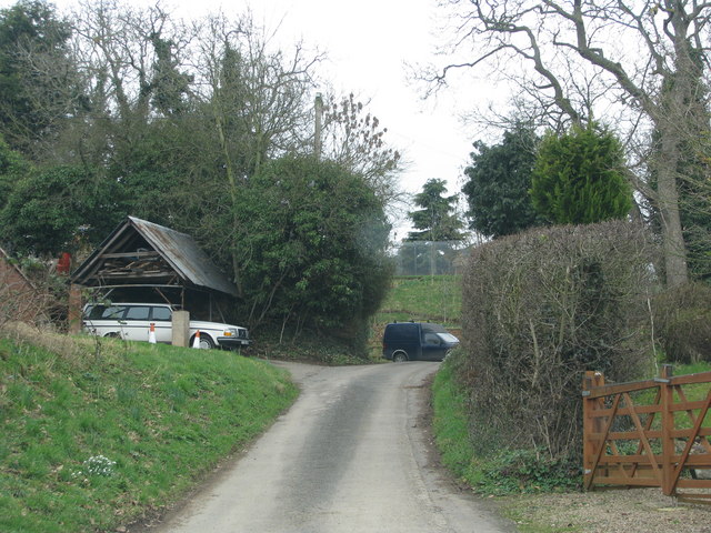
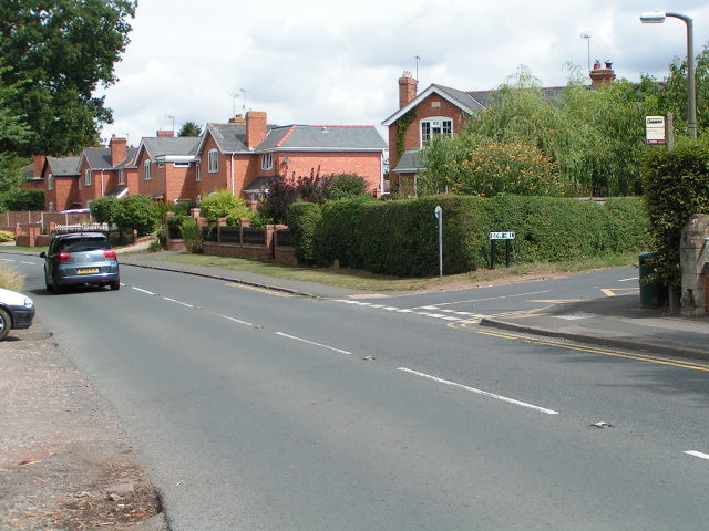
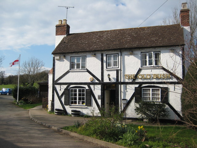
Frieze Wood Images

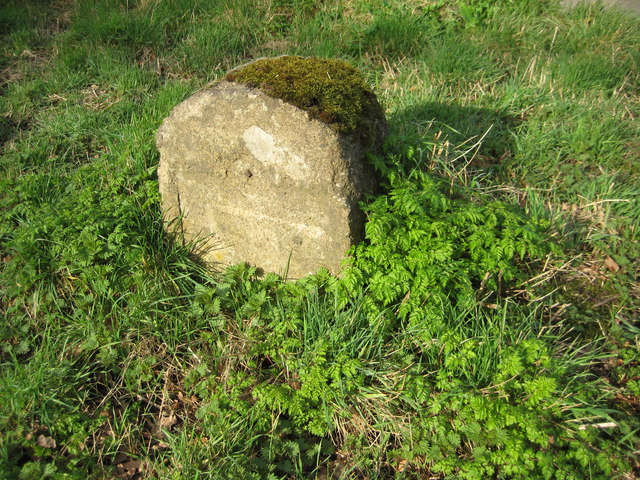
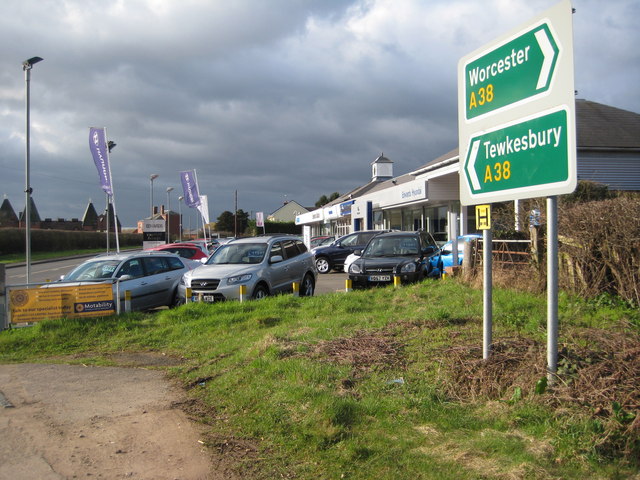
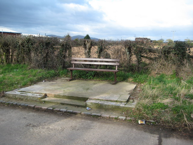
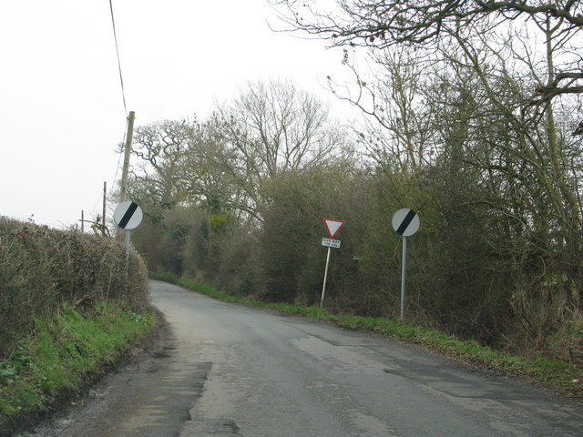
Images are sourced within 2km of 52.1279/-2.241494 or Grid Reference SO8347. Thanks to Geograph Open Source API. All images are credited.

Milestone, A38 at Baynhall The remains of a milestone beside the A38 at Baynhall to the south of the village of Kempsey.  Since photographing this milestone it has had the plate replaced, see: <a href="https://www.geograph.org.uk/photo/3057856">SO8547 : Milestone on Baynhall</a>
Milestone, A38 at Baynhall
The remains of a milestone beside the A38 at Baynhall to the south of the village of Kempsey. Since photographing this milestone it has had the plate replaced, see: SO8547 : Milestone on Baynhall
Baynhall Garage Baynhall Garage is a car dealership for Mazda, KIA and Daihatsu and is situated on the A38 to the south of Kempsey.
Baynhall Garage
Baynhall Garage is a car dealership for Mazda, KIA and Daihatsu and is situated on the A38 to the south of Kempsey.
Bus stop at Baynhall Until recently there was a bus shelter here until it was demolished, now all that remains is a seat.
Bus stop at Baynhall
Until recently there was a bus shelter here until it was demolished, now all that remains is a seat.
Road narrows approaching the B4424
Bridleway follows this access track
Grassy field on the Old Hills
B4424 passing through Callow End
Kempsey church Kempsey church is dedicated to St Mary the Virgin, at the time of the picture work was taking place on the tower.
Kempsey church
Kempsey church is dedicated to St Mary the Virgin, at the time of the picture work was taking place on the tower.
Flood defence work, Kempsey Work has begun on creation of flood defences in Kempsey, here work is being carried out to the south of the church.
Flood defence work, Kempsey
Work has begun on creation of flood defences in Kempsey, here work is being carried out to the south of the church.
Ford in Kempsey Ford on Hatfield Brook in Kempsey.
Ford in Kempsey
Ford on Hatfield Brook in Kempsey.
Bridge over Hatfield Brook Bridge over Hatfield Brook beside a ford in Kempsey.
Bridge over Hatfield Brook
Bridge over Hatfield Brook beside a ford in Kempsey.
Kempsey Ford
Kempsey Ford
Kempsey Hatfield Brook Ford
Milestone on Baynhall This milestone beside the A38 at Baynhall has very recently had the milestone plate restored.  To see the milestone as it was see: <a href="https://www.geograph.org.uk/photo/2310663">SO8547 : Milestone, A38 at Baynhall</a>
Milestone on Baynhall
This milestone beside the A38 at Baynhall has very recently had the milestone plate restored. To see the milestone as it was see: SO8547 : Milestone, A38 at Baynhall
The Old Bush, Callow End Public house set back from the B4424 as it passes through the village of Callow End.
The Old Bush, Callow End
Public house set back from the B4424 as it passes through the village of Callow End.
Digger at work Quarrying for sand beside the Severn Way.
Digger at work
Quarrying for sand beside the Severn Way.
Narrow slippery path (The Severn Way)
The Severn Way at Lower Ham
Show me another place!

Frieze Wood is located at Grid Ref: SO8347 (Lat: 52.1279, Lng: -2.241494)

Administrative County: Worcestershire

District: Malvern Hills

Police Authority: West Mercia

What 3 Words

///spellings.haircuts.backdrop. Near Kempsey, Worcestershire

Related Wikis

Clevelode

Clevelode is a small village in Worcestershire, England. It is located around 5 miles south of Worcester just to the west of the River Severn. Clevelode...

Old Hills

The Old Hills are an area of common land in Worcestershire, England. They are located around two miles to the east of Great Malvern and about a mile west...

Callow End

Callow End is a constituent village of the civil parish of Powick in the Malvern Hills District of Worcestershire, England. It is located on the B4424...

Draycott, Worcestershire

Draycott is a hamlet in the English county of Worcestershire. It is located on the A38 road due south of the city of Worcester. It forms part of the civil...

Clifton, Worcestershire

Clifton is a small village in Severn Stoke civil parish, Malvern Hills District, Worcestershire, England.

Kempsey, Worcestershire

Kempsey is a village and civil parish in the Malvern Hills District in the county of Worcestershire, England. It is bounded by the River Severn on the...

Madresfield Court

Madresfield Court is a country house in Malvern, Worcestershire, England. The home of the Lygon family for nearly six centuries, it has never been sold...

The Rhydd

The Rhydd (formerly Rhydd Court) is an English country house alongside the River Severn, near the village of Hanley Castle, Worcestershire, about halfway...

Nearby Amenities

Located within 500m of 52.1279,-2.241494
Power: tower
Lat/Long: 52.1262813/-2.2375657
Power: tower
Lat/Long: 52.1288342/-2.2373627
Power: tower
Lat/Long: 52.1240061/-2.2401291
Power: pole
Lat/Long: 52.1310579/-2.2418239
Power: pole
Lat/Long: 52.1288318/-2.2476777
Power: pole
Lat/Long: 52.1292418/-2.2465888
Power: pole
Lat/Long: 52.1296649/-2.2454542
Power: pole
Lat/Long: 52.1307121/-2.2426567
Power: pole
Lat/Long: 52.1301984/-2.2440702
Power: pole
Lat/Long: 52.1301478/-2.2460979
Power: pole
Lat/Long: 52.1304318/-2.2465056
Power: pole
Lat/Long: 52.1310097/-2.2466706
Pixham Farm
Power: pole
Transformer: distribution
Voltage Primary: 11000
Lat/Long: 52.1313921/-2.240932
The data included in this document is from www.openstreetmap.org. The data is made available under ODbL.

Have you been to Frieze Wood?

Leave your review of Frieze Wood below (or comments, questions and feedback).