Ruscombe Wood

Wood, Forest in Gloucestershire Stroud

England

Ruscombe Wood

Pitchcombe (Glos) St John the Baptist's Church
Pitchcombe (Glos) St John the Baptist's Church Credit: ChurchCrawler

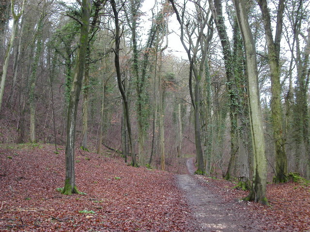
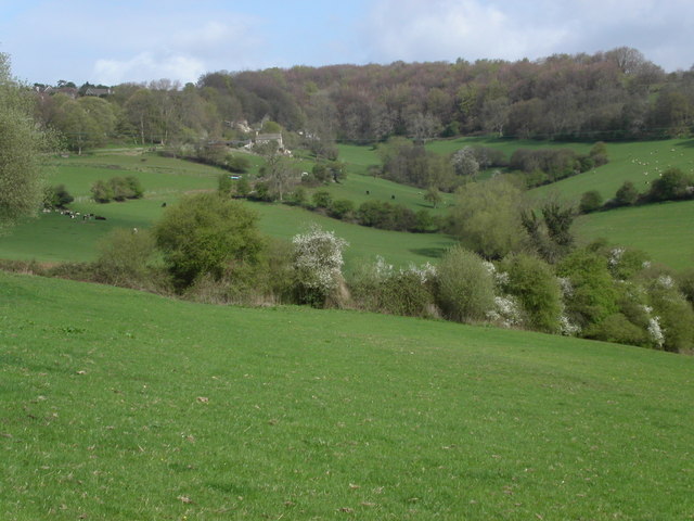
Ruscombe Wood is a picturesque woodland located in Gloucestershire, England. Covering an area of approximately 300 hectares, the wood is a stunning example of the region's natural beauty. Situated near the village of Ruscombe, the wood is easily accessible and attracts visitors from both local communities and further afield.

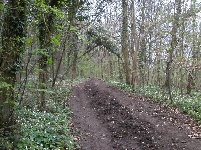
The wood is predominantly composed of native broadleaf trees, including oak, beech, and ash. These towering trees create a dense canopy, providing shelter and nesting sites for a variety of bird species. The wood is also home to a diverse range of wildlife, including deer, badgers, and foxes, making it a popular spot for nature enthusiasts and photographers.

Several well-maintained walking trails wind their way through the wood, allowing visitors to explore the area and take in the tranquil surroundings. These paths are suitable for all ages and abilities and are often dotted with benches where visitors can pause and appreciate the peacefulness of the woodland.

Ruscombe Wood is also known for its vibrant display of wildflowers during the spring and summer months. Bluebells, primroses, and wood anemones carpet the forest floor, creating a kaleidoscope of color and attracting an array of insects such as butterflies and bees.

Managed by local conservation organizations, the wood is kept in pristine condition, ensuring its long-term preservation. Educational programs and guided walks are occasionally organized to promote awareness and understanding of the woodland ecosystem.

Overall, Ruscombe Wood offers a serene escape from the hustle and bustle of everyday life, providing a haven for both nature lovers and those seeking a moment of tranquility in the heart of Gloucestershire.

If you have any feedback on the listing, please let us know in the comments section below.

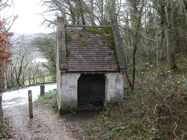
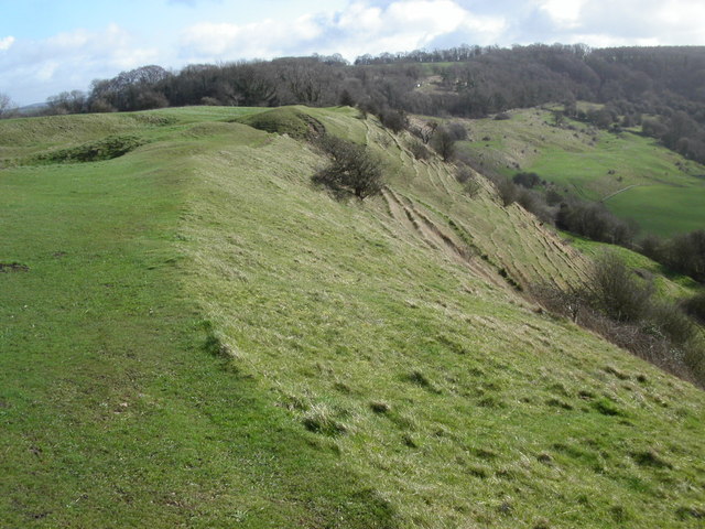
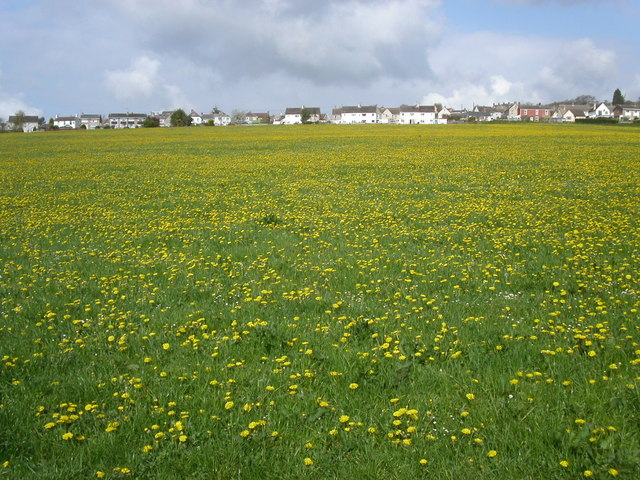
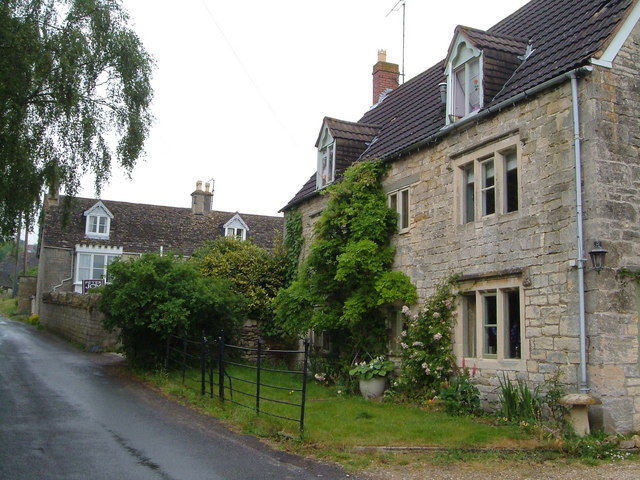
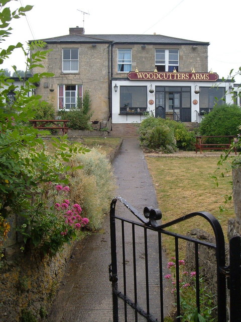
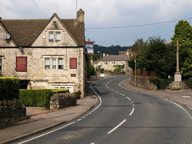
Ruscombe Wood Images

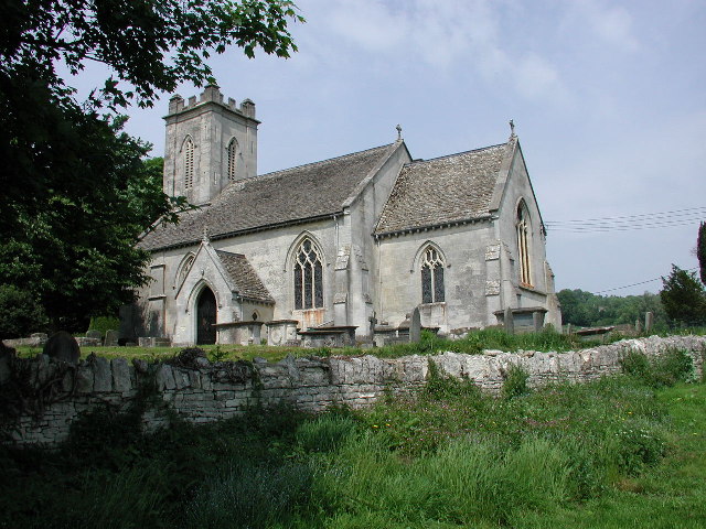
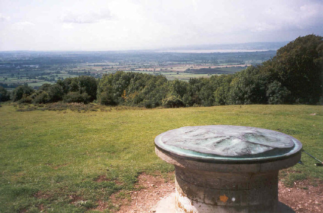
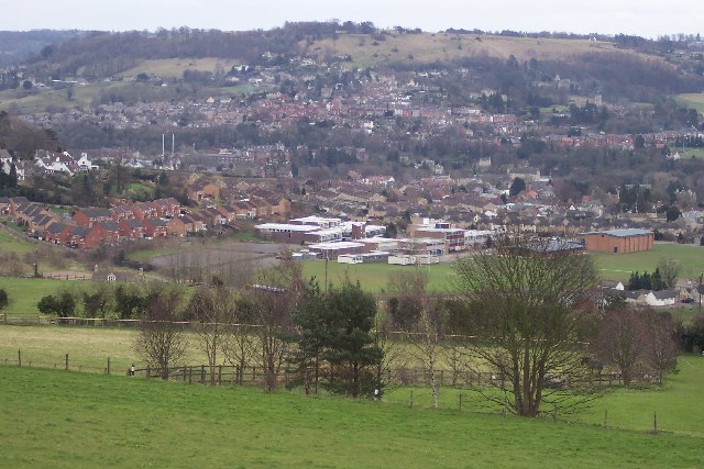
Images are sourced within 2km of 51.766202/-2.2405135 or Grid Reference SO8307. Thanks to Geograph Open Source API. All images are credited.

Pitchcombe (Glos) St John the Baptist's Church
Topograph on Haresfield Beacon The Severn Estuary can be seen in the distance.
Topograph on Haresfield Beacon
The Severn Estuary can be seen in the distance.
Stroud view General view of Stroud. The clump of buildings in the centre of the picture belong to Archway School. The pair of white lines looking like a giant rugby goal are chimney stacks belonging to the Millikan factory, a wool cloth mill. The hill in the background is Rodborough Hill.
Stroud view
General view of Stroud. The clump of buildings in the centre of the picture belong to Archway School. The pair of white lines looking like a giant rugby goal are chimney stacks belonging to the Millikan factory, a wool cloth mill. The hill in the background is Rodborough Hill.
Cliff  Well on the Cotswold Way path Standing beside the Cotswold Way path on Haresfield Hill is Cliff Well. The entrance is on the other side. The building still contains a winch although the well is capped.
Cliff Well on the Cotswold Way path
Standing beside the Cotswold Way path on Haresfield Hill is Cliff Well. The entrance is on the other side. The building still contains a winch although the well is capped.
Cotswold Way path woodland The Cotswold Way path as it runs between Maitlands Wood and Hallidays Wood not far from Edge village.
Cotswold Way path woodland
The Cotswold Way path as it runs between Maitlands Wood and Hallidays Wood not far from Edge village.
Road to Haresfield Beacon The road forks left to Haresfield Beacon. A popular walking area with views of the river Severn. The Cotswold Way path lies close to the road.
Road to Haresfield Beacon
The road forks left to Haresfield Beacon. A popular walking area with views of the river Severn. The Cotswold Way path lies close to the road.
Cliff Well This photo shows the entrance to access the winding winch of the well.
Cliff Well
This photo shows the entrance to access the winding winch of the well.
Cotswold Way path at Haresfield Beacon The Cotswold Way path runs east along the ridge at Haresfield Beacon from the triangulation pillar towards Bunkers Bank.
Cotswold Way path at Haresfield Beacon
The Cotswold Way path runs east along the ridge at Haresfield Beacon from the triangulation pillar towards Bunkers Bank.
Whiteshill Church Whiteshill church is situated at the southern end of Whiteshill and just north of Stroud. The church was opened in 1840.
Whiteshill Church
Whiteshill church is situated at the southern end of Whiteshill and just north of Stroud. The church was opened in 1840.
Farmland below Whiteshill Cotswold farmland to the east and below Whiteshill village. 2Km north of Stroud.
Farmland below Whiteshill
Cotswold farmland to the east and below Whiteshill village. 2Km north of Stroud.
Whiteshill village Whiteshill village is 2Km north of Stroud. The Cotswold Way path is 1Km to the west in Standish woods.
Whiteshill village
Whiteshill village is 2Km north of Stroud. The Cotswold Way path is 1Km to the west in Standish woods.
Randwick church Randwick parish church lies just below Standish wood and is 1Km north of Stroud.
Randwick church
Randwick parish church lies just below Standish wood and is 1Km north of Stroud.
Cotswold Way path in Standish woods The Cotswold Way path as it runs south-west through Standish woods. Taken in late April with a late spring the floor of the wood was covered in Wild Garlic and Bluebells.
Cotswold Way path in Standish woods
The Cotswold Way path as it runs south-west through Standish woods. Taken in late April with a late spring the floor of the wood was covered in Wild Garlic and Bluebells.
Painswick Stream Painswick Stream flowing South-west close to Wades Mill not far from Pitchcombe.
Painswick Stream
Painswick Stream flowing South-west close to Wades Mill not far from Pitchcombe.
Ocker Hill phone box An original red phonebox stands by the footpath marker at Ocker Hill, Randwick.
Ocker Hill phone box
An original red phonebox stands by the footpath marker at Ocker Hill, Randwick.
Ruscombe Tucked into a narrow valley in the Cotswolds just north of Stroud. A view from the Congregational church.
Ruscombe
Tucked into a narrow valley in the Cotswolds just north of Stroud. A view from the Congregational church.
Redhouse Lane, Westrip Westrip, on the edge of the built-up area of Stroud, retains a village feel. This photo, looking up the lane, shows Westrip Farm House and Westrip Lodge.
Redhouse Lane, Westrip
Westrip, on the edge of the built-up area of Stroud, retains a village feel. This photo, looking up the lane, shows Westrip Farm House and Westrip Lodge.
Woodcutters Arms, Whiteshill The pub occupies the fork of land between Upper Kitesnest Road and the Main Road in this ridge village.
Woodcutters Arms, Whiteshill
The pub occupies the fork of land between Upper Kitesnest Road and the Main Road in this ridge village.
Show me another place!

Ruscombe Wood is located at Grid Ref: SO8307 (Lat: 51.766202, Lng: -2.2405135)

Administrative County: Gloucestershire

District: Stroud

Police Authority: Gloucestershire

What 3 Words

///costumed.grunt.tutorial. Near Stroud, Gloucestershire

Related Wikis

Randwick, Gloucestershire

Randwick is a village bordering the market town of Stroud in Gloucestershire, England, the United Kingdom. It is known locally for its folk traditions...

Whiteshill, Stroud

Whiteshill is a village in the Cotswolds, situated between Stroud and Gloucester, in Gloucestershire, England and forms part of the Stroud urban area....

Pitchcombe

Pitchcombe is a village and civil parish 6 miles (9.7 km) south of Gloucester, in the Stroud district, in the county of Gloucestershire, England. In 2011...

Archway School

Archway School is a comprehensive co-educational school for pupils aged 11 to 18 in Stroud, Gloucestershire, England. The headteacher is Kieron Smith....

Stratford Park

Stratford Park is a green flag awarded area of Stroud in Gloucestershire, south west England. With a large park and lake, and a leisure centre complex...

Standish Hospital

Standish Hospital was a specialist orthopaedics, rheumatology and respiratory care National Health Service (NHS) hospital, located in the hamlet of Standish...

Haresfield Beacon

Haresfield Beacon (grid reference SO819088) is a 0.73-hectare (1.8-acre) geological Site of Special Scientific Interest in Gloucestershire, notified in...

Arlebrook

Arlebrook is a village in Gloucestershire, England. A timber framed house known as the Thatched Cottage was built in the 16th century. Next to it is an...

Nearby Amenities

Located within 500m of 51.766202,-2.2405135
Whiteshill
Is In: Gloucestershire, England, UK
Place: village
Wikidata: Q7996248
Lat/Long: 51.7646817/-2.2340008
Marker: stone
Lat/Long: 51.7650906/-2.2462614
Marker: stone
Lat/Long: 51.7661052/-2.2454031
Marker: stone
Lat/Long: 51.7687485/-2.2434243
Bus Stop
Wood Turn
Bus: yes
Naptan AtcoCode: 1600GL3964
Naptan Bearing: NE
Naptan CommonName: Wood Turn
Naptan NaptanCode: gloawpdm
Naptan PlusbusZoneRef: STRUD
Naptan Street: Main Rd
Naptan Verified: no
Public Transport: platform
Source: naptan_import
Lat/Long: 51.7675963/-2.2403141
Bus Stop
The Throat
Bus: yes
Naptan AtcoCode: 1600GL4060
Naptan Bearing: S
Naptan CommonName: The Throat
Naptan NaptanCode: glodajgj
Naptan PlusbusZoneRef: STRUD
Naptan Street: Ruscombe Rd
Naptan Verified: no
Public Transport: platform
Source: naptan_import
Lat/Long: 51.7659489/-2.2368565
Bus Stop
Woodcutters Arms
Bus: yes
Naptan AtcoCode: 1600GL5167
Naptan Bearing: N
Naptan CommonName: Woodcutters Arms
Naptan Indicator: Opp
Naptan NaptanCode: glodamgp
Naptan PlusbusZoneRef: STRUD
Naptan Street: Main Road
Naptan Verified: no
Public Transport: platform
Source: naptan_import
Lat/Long: 51.7640388/-2.2343686
Bus Stop
Ruscombe Rd
Bus: yes
Naptan AtcoCode: 1600GLA57021
Naptan Bearing: NW
Naptan CommonName: Ruscombe Rd
Naptan NaptanCode: glogmtpt
Naptan PlusbusZoneRef: STRUD
Naptan Street: Ruscombe Rd
Naptan Verified: no
Public Transport: platform
Source: naptan_import
Lat/Long: 51.7641097/-2.2348762
Bus Stop
Ludlow Green Inn
Bus: yes
Naptan AtcoCode: 1600GLS253
Naptan Bearing: N
Naptan CommonName: Ludlow Green Inn
Naptan NaptanCode: glodagpd
Naptan PlusbusZoneRef: STRUD
Naptan Street: Ruscombe Rd
Naptan Verified: no
Public Transport: platform
Source: naptan_import
Lat/Long: 51.7631374/-2.2399427
Bus Stop
Ludlow Green Inn
Bus: yes
Naptan AtcoCode: 1600GLS254
Naptan Bearing: S
Naptan CommonName: Ludlow Green Inn
Naptan Indicator: Opp
Naptan NaptanCode: glodagpg
Naptan PlusbusZoneRef: STRUD
Naptan Street: Ruscombe Rd
Naptan Verified: no
Public Transport: platform
Source: naptan_import
Lat/Long: 51.7631286/-2.2398267
Bus Stop
The Close
Bus: yes
Naptan AtcoCode: 1600GLS255
Naptan Bearing: S
Naptan CommonName: The Close
Naptan NaptanCode: glodagtp
Naptan PlusbusZoneRef: STRUD
Naptan Street: Ruscombe Rd
Naptan Verified: no
Public Transport: platform
Source: naptan_import
Lat/Long: 51.764658/-2.2393856
Bus Stop
The Close
Bus: yes
Naptan AtcoCode: 1600GLS256
Naptan Bearing: SW
Naptan CommonName: The Close
Naptan Indicator: Opp
Naptan NaptanCode: glodagtm
Naptan PlusbusZoneRef: STRUD
Naptan Street: Ruscombe Rd
Naptan Verified: no
Public Transport: platform
Source: naptan_import
Lat/Long: 51.764595/-2.2394287
Bus Stop
Hill Farm
Bus: yes
Naptan AtcoCode: 1600GLS389
Naptan Bearing: S
Naptan BusStopType: CUS
Naptan CommonName: Hill Farm
Naptan Indicator: Opp
Naptan NaptanCode: glodamat
Naptan PlusbusZoneRef: STRUD
Naptan Street: Main Road
Naptan Verified: no
Public Transport: platform
Source: naptan_import
Lat/Long: 51.7669416/-2.2350503
Bus Stop
Hill Farm
Bus: yes
Naptan AtcoCode: 1600GLS390
Naptan Bearing: N
Naptan CommonName: Hill Farm
Naptan NaptanCode: glodamap
Naptan PlusbusZoneRef: STRUD
Naptan Street: Main Road
Naptan Verified: no
Public Transport: platform
Source: naptan_import
Lat/Long: 51.7671123/-2.2351381
Ruscombe
Place: hamlet
Lat/Long: 51.7642703/-2.2391911
Natural: spring
Source: OS OpenData StreetView
Lat/Long: 51.7640844/-2.2393199
Randwick transmitter
Communication Mobile Phone: yes
Communication Television: yes
Man Made: tower
Operator: Arqiva
Source: local_knowledge
Tower Type: communication
Lat/Long: 51.7681326/-2.2383154
Power: pole
Lat/Long: 51.766756/-2.2430083
Power: pole
Lat/Long: 51.7689196/-2.2388385
Power: pole
Lat/Long: 51.7690391/-2.2398487
Power: pole
Lat/Long: 51.7683835/-2.2378491
Power: pole
Lat/Long: 51.7679461/-2.240247
Power: pole
Lat/Long: 51.7686756/-2.2383919
Power: pole
Lat/Long: 51.7685345/-2.2393964
Power: transformer
Lat/Long: 51.7623718/-2.240083
Power: pole
Lat/Long: 51.7679377/-2.2352757
Power: pole
Lat/Long: 51.7681578/-2.2345658
Power: pole
Lat/Long: 51.7679471/-2.2362053
Power: pole
Lat/Long: 51.7679752/-2.2374813
Power: transformer
Lat/Long: 51.7643598/-2.238062
Power: pole
Lat/Long: 51.7639039/-2.2374327
Power: pole
Lat/Long: 51.7631696/-2.236462
Post Box
Woodcutters Arms
Collection Times: Mo-Fr 09:00; Sa 07:00
Operator: Royal Mail
Post Box Type: lamp
Ref: GL6 94
Royal Cypher: EIIR
Royal Cypher Wikidata: Q33102113
Source: survey
Lat/Long: 51.7641557/-2.2342968
Barrier: stile
Foot: designated
Material: wood
Stile: stepover
Lat/Long: 51.7683302/-2.238031
Barrier: stile
Foot: designated
Material: wood
Stile: stepover
Lat/Long: 51.767169/-2.236553
Barrier: stile
Lat/Long: 51.7686169/-2.2348032
Defibrillator
Booth: K6
Covered: booth
Defibrillator Location: Inside disused red phone box
Disused Amenity: telephone
Emergency: defibrillator
Indoor: no
Man Made: telephone_box
Note: Phone box also used as a gallery.
Operator: Community Heartbeat
Ref: CH-RT-1 4 2 1
Source: survey
Lat/Long: 51.762323/-2.2404245
Post Box
Collection Times: Mo-Fr 09:00; Sa 07:00; Su off
Drive Through: no
Operator: Royal Mail
Post Box Type: wall
Ref: GL6 139D
Royal Cypher: GR
Royal Cypher Wikidata: Q33102273
Source: survey
Lat/Long: 51.7638275/-2.2398973
Bench
Lat/Long: 51.7653813/-2.2364644
Bench
Lat/Long: 51.7654578/-2.2364115
Bus Stop
Ele: 221.7081299
Lat/Long: 51.7640654/-2.2457636
The data included in this document is from www.openstreetmap.org. The data is made available under ODbL.

Have you been to Ruscombe Wood?

Leave your review of Ruscombe Wood below (or comments, questions and feedback).