Spring Garden Coppice

Wood, Forest in Dorset

England

Spring Garden Coppice

Grazing, Lane End
Grazing, Lane End Credit: JThomas

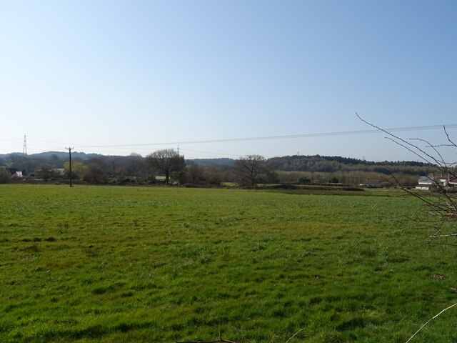
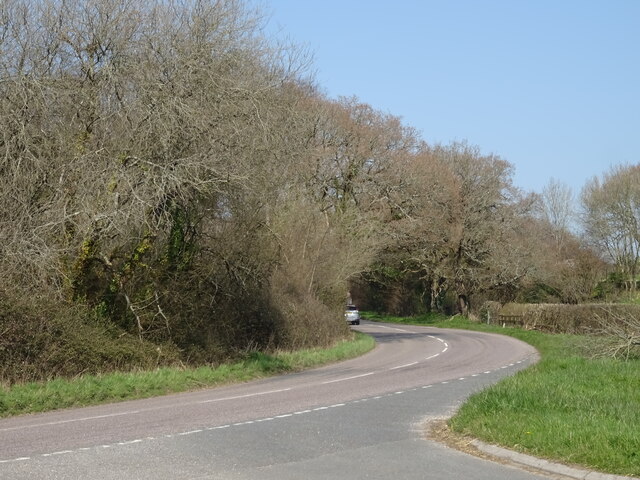
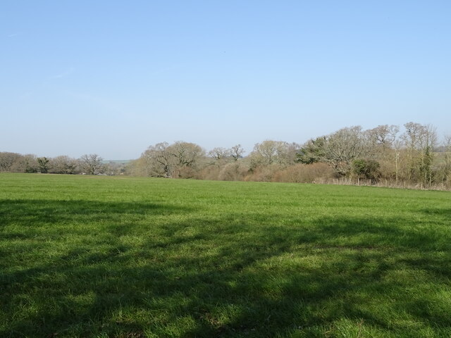
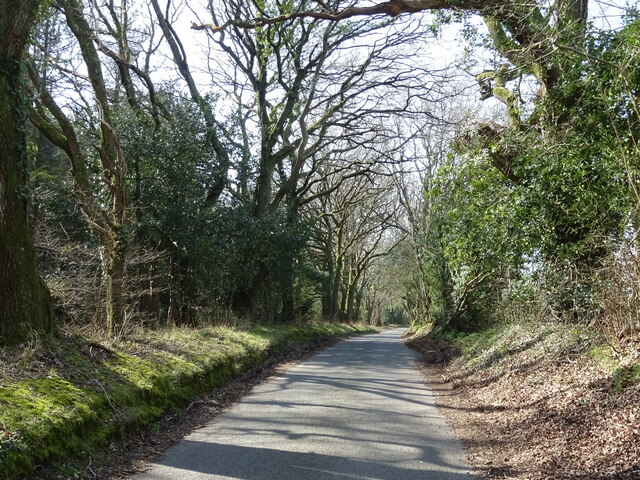
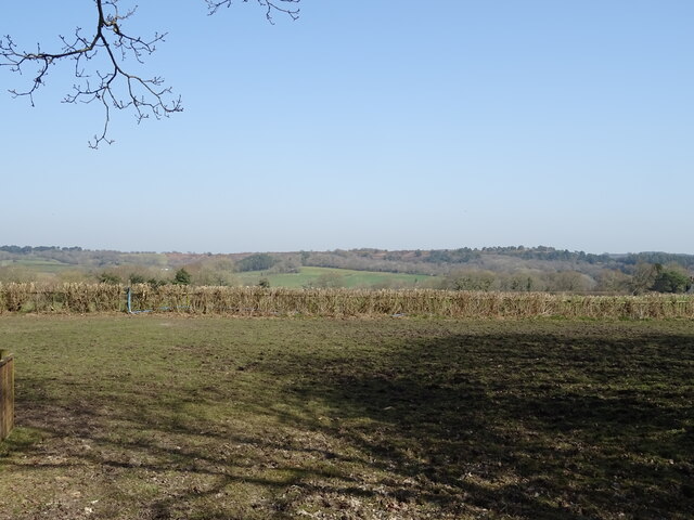
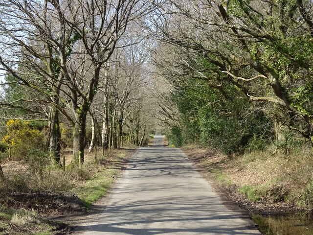
Spring Garden Coppice is a picturesque woodland located in Dorset, England. Spread across a sprawling area, it is known for its diverse and rich ecosystem, making it a haven for nature enthusiasts and wildlife lovers alike.

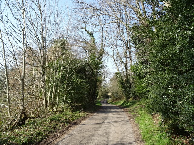
The coppice is primarily composed of broadleaf trees, including oak, beech, ash, and birch, which create a dense canopy that provides shade and shelter to the forest floor. These trees also play a crucial role in the coppice management system, wherein they are periodically cut down and allowed to regrow to promote biodiversity and encourage the growth of smaller plants and shrubs.

Walking through Spring Garden Coppice, visitors can expect to encounter a variety of flora species such as bluebells, primroses, and wild garlic, which carpet the forest floor during the spring season. The undergrowth is also home to ferns, mosses, and fungi, adding to the enchanting ambiance of the woodland.

The coppice is not only a treat for plant enthusiasts but also a haven for wildlife. Numerous bird species, including woodpeckers, nuthatches, and chiffchaffs, can be spotted flitting through the trees. The woodland is also home to a range of mammals, including deer, squirrels, and foxes, which find refuge in its secluded corners.

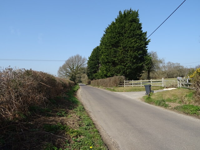
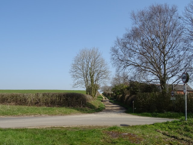
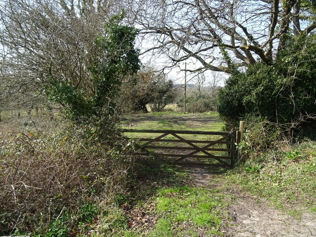
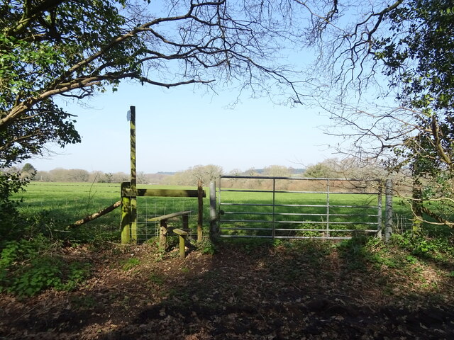
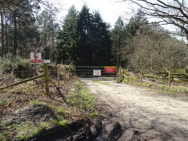
With its well-maintained footpaths and trails, Spring Garden Coppice offers a perfect opportunity for visitors to explore and immerse themselves in the natural beauty of Dorset. Whether it's a leisurely stroll or a more adventurous hike, this woodland provides an idyllic escape from the hustle and bustle of everyday life.

If you have any feedback on the listing, please let us know in the comments section below.

Spring Garden Coppice Images

Images are sourced within 2km of 50.74602/-2.2371138 or Grid Reference SY8394. Thanks to Geograph Open Source API. All images are credited.

Grazing, Lane End
Grazing, Lane End
Minor road towards Yearlings Farm
Fingerpost, Yearlings' Bottom
Track (bridleway) towards Hollow Oak
Minor road towards Bere Regis
Field entrance, Mintern's Ferry
Lane towards Turners Puddle
Grazing towards Brockhill Coppice
Minor road, Brockhill
Field entrance and footpath, Brockhill
Grazing and hedgerow near Brockhill
Entrance to Bovington Training  Area
Entrance to Bovington Training Area
Minor road towards Briantspuddle
Road junction, Throop Clump
A35 near Shitterton
A35 near Shitterton
Toll Gate Cottage, Bere Regis A former Toll House at 72 West Street, on the corner of Butt Lane. Used by the Wimborne and Piddletown Turnpike Trust, up to the mid 19ᵗʰ C.

Milestone Society National ID: DO.BER
Toll Gate Cottage, Bere Regis
A former Toll House at 72 West Street, on the corner of Butt Lane. Used by the Wimborne and Piddletown Turnpike Trust, up to the mid 19ᵗʰ C. Milestone Society National ID: DO.BER
Old Milestone by the slip road to the A35 at Shitterton Stone post (plate lost) by the UC road, in parish of BERE REGIS (PURBECK District), North Street, Bere Regis, South side of exit road to A35 for Dorchester. Up on bank just before exit road meets A35, on South side of road. Dorset 2 (iron plated), erected by the Puddletown & Wimborne turnpike trust in the 19th century. 

Inscription reads:-
DORCHESTER
10
POOLE
12 
Carved benchmark lower centre of face.

Dorset HER Number: MDO7196
<span class="nowrap"><a title="https://www.heritagegateway.org.uk/Gateway/Results_Single.aspx?uid=MDO7196&resourceID=1012" rel="nofollow ugc noopener" href="https://www.heritagegateway.org.uk/Gateway/Results_Single.aspx?uid=MDO7196&resourceID=1012">Link</a><img style="margin-left:2px;" alt="External link" title="External link - shift click to open in new window" src="https://s1.geograph.org.uk/img/external.png" width="10" height="10"/></span>

Milestone Society National ID: DO_DOPO10
Old Milestone by the slip road to the A35 at Shitterton
Stone post (plate lost) by the UC road, in parish of BERE REGIS (PURBECK District), North Street, Bere Regis, South side of exit road to A35 for Dorchester. Up on bank just before exit road meets A35, on South side of road. Dorset 2 (iron plated), erected by the Puddletown & Wimborne turnpike trust in the 19th century. Inscription reads:- DORCHESTER 10 POOLE 12 Carved benchmark lower centre of face. Dorset HER Number: MDO7196 LinkExternal link Milestone Society National ID: DO_DOPO10
The River Piddle at Briantspuddle
Show me another place!

Spring Garden Coppice is located at Grid Ref: SY8394 (Lat: 50.74602, Lng: -2.2371138)

Unitary Authority: Dorset

Police Authority: Dorset

What 3 Words

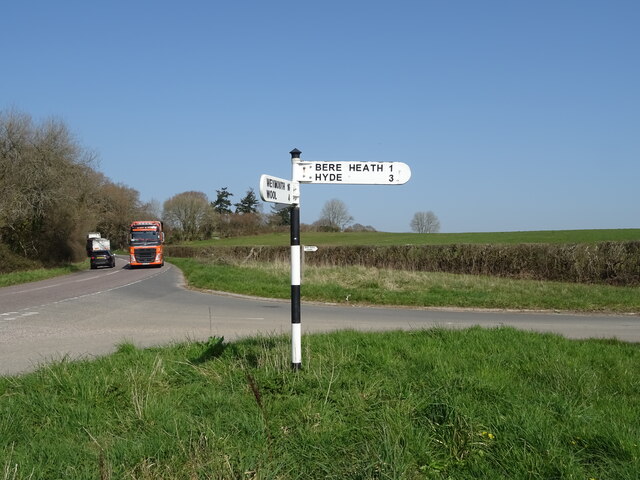
///crackled.sweep.seducing. Near Bere Regis, Dorset

Related Wikis

Black Hill Heath

Black Hill Heath (grid reference SY835943) is a 69.67 hectare biological Site of Special Scientific Interest in Dorset, notified in 1989. == Sources... ==
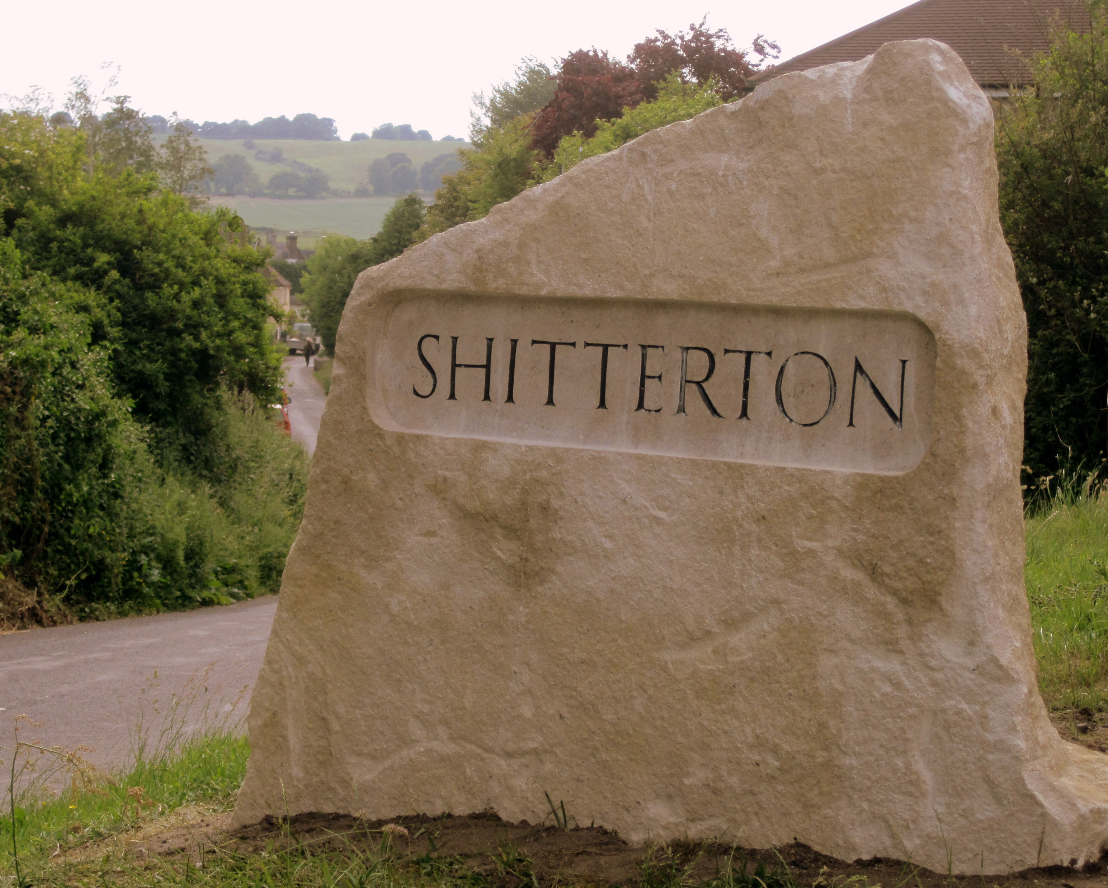
Shitterton

Shitterton is a hamlet in Bere Regis, Dorset, England. It includes a collection of historic thatched buildings dating back to the 18th century and earlier...

Turners Puddle

Turners Puddle is a village and former civil parish, now in the parish of Affpuddle and Turnerspuddle, in the Dorset district, in the ceremonial county...

Bere Regis

Bere Regis () is a village and civil parish in Dorset, England, situated 6 miles (9.7 km) north-west of Wareham. In the 2011 census the civil parish had...

Nearby Amenities

Located within 500m of 50.74602,-2.2371138
Archaeological Site: tumulus
Historic: archaeological_site
Lat/Long: 50.7455814/-2.2328657
Archaeological Site: tumulus
Historic: archaeological_site
Lat/Long: 50.7453815/-2.2332425
Archaeological Site: tumulus
Historic: archaeological_site
Lat/Long: 50.745822/-2.2324078
Devil's Stone
Archaeological Site: bigstone
Historic: archaeological_site
Source: http://www.bereregis.org/Bronze.htm
Lat/Long: 50.7456318/-2.2319052
Black Hill
Ele: 98
Natural: peak
Lat/Long: 50.7464211/-2.2313629
Damer Hill
Ele: 75
Natural: peak
Lat/Long: 50.7434229/-2.2347366
The data included in this document is from www.openstreetmap.org. The data is made available under ODbL.

Have you been to Spring Garden Coppice?

Leave your review of Spring Garden Coppice below (or comments, questions and feedback).