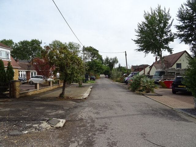
Crays Hill
Settlement in Essex Basildon
England
Crays Hill

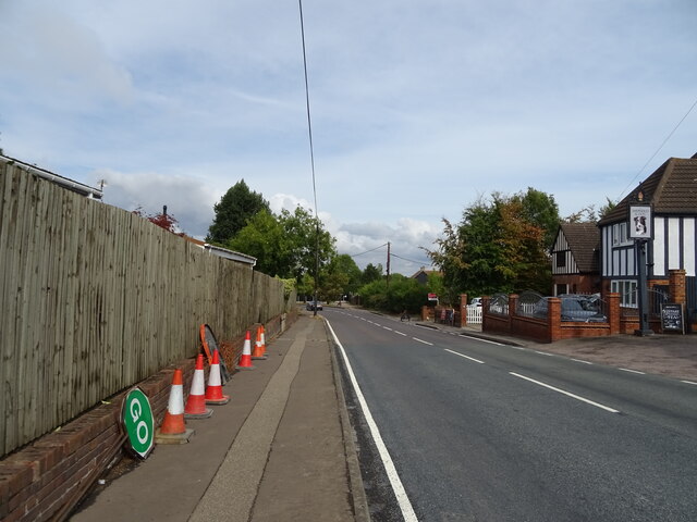
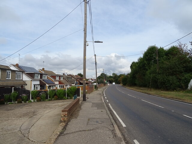
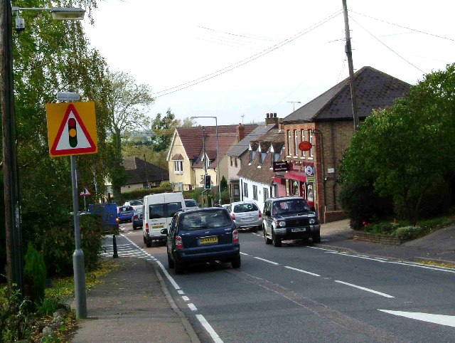
Cray's Hill is a small village located in the county of Essex, England. Situated approximately 25 miles east of London, it falls within the Basildon District and has a population of around 800 residents. The village is nestled on a hill, hence its name, providing picturesque views of the surrounding rural landscape.
Cray's Hill is known for its peaceful and close-knit community, offering a tranquil escape from the bustling city life of London. The village primarily consists of residential properties, with a few local amenities such as a post office, a convenience store, and a pub. For more extensive shopping and entertainment options, the nearby town of Basildon is easily accessible.
The village is well-connected in terms of transportation, with the A127 road passing through it, linking it to surrounding areas. The nearby Basildon railway station provides regular train services to London and other major cities in the region.
Cray's Hill boasts a rich history, with evidence of human settlement dating back to the Roman era. The village is also home to various historical landmarks, including St. Mary's Church, which dates back to the 13th century and is worth a visit for its architectural beauty.
In terms of recreation, residents and visitors can enjoy the beautiful countryside surrounding Cray's Hill, with numerous walking and cycling trails available. The village is also in close proximity to the expansive Hanningfield Reservoir, providing opportunities for fishing, birdwatching, and other outdoor activities.
Overall, Cray's Hill offers a charming rural retreat with a strong sense of community, making it an attractive place to live or visit for those seeking a peaceful countryside experience.
If you have any feedback on the listing, please let us know in the comments section below.
Crays Hill Images
Images are sourced within 2km of 51.600964/0.474078 or Grid Reference TQ7192. Thanks to Geograph Open Source API. All images are credited.


Crays Hill is located at Grid Ref: TQ7192 (Lat: 51.600964, Lng: 0.474078)
Administrative County: Essex
District: Basildon
Police Authority: Essex
What 3 Words
///cherry.purple.void. Near Wickford, Essex
Nearby Locations
Related Wikis
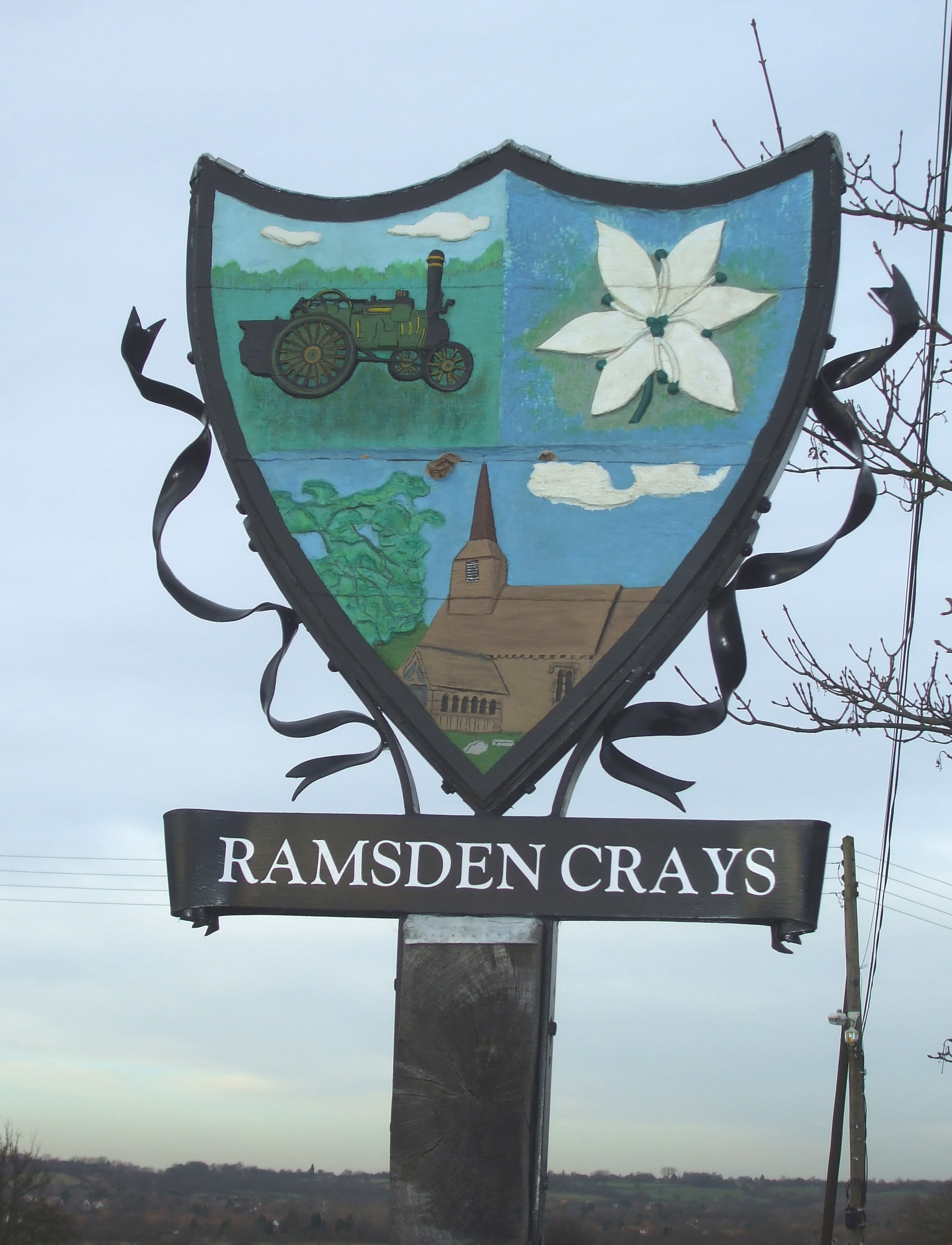
Ramsden Crays
Ramsden Crays is a civil parish in the Basildon district of Essex, England. It lies north of Basildon and west of Wickford. The parish includes the village...
Crays Hill
Crays Hill is a village in the Basildon borough of Essex, England. The River Crouch passes under Church Lane.The village was listed in Domesday Book of...
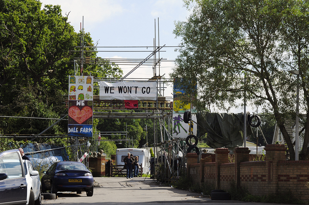
Dale Farm
Dale Farm is a plot of land situated on Oak Lane in Crays Hill, Essex, United Kingdom. Until October 2011, it was the site of one of the largest Traveller...

Basildon United F.C.
Basildon United Football Club is a football club based in Basildon, Essex. They are currently members of the Isthmian League North Division and play at...

Barleylands Farm Museum
Barleylands Farm Park and Craft Village is located in Barleylands, Billericay, Essex. It has a wide range of farm animals, indoor play, outdoor play, tractor...
Great Burstead
Great Burstead is an urban settlement and former civil parish, now in the parish of Great Burstead and South Green, in the Basildon district, in Essex...

Basildon and Billericay (UK Parliament constituency)
Basildon and Billericay () is a constituency in Essex represented in the House of Commons of the UK Parliament. Since its 2010 creation it has been represented...
The Bromfords School
The Bromfords School is a coeducational secondary school and sixth form with academy status, located in Wickford, Essex, England. Most pupils live in Wickford...
Nearby Amenities
Located within 500m of 51.600964,0.474078Have you been to Crays Hill?
Leave your review of Crays Hill below (or comments, questions and feedback).