Paget's Gorse

Wood, Forest in Staffordshire South Staffordshire

England

Paget's Gorse

Enville windmill The tower mill on the edge of Enville Common built in 1800-1801 remained in use until 1870. The mill had four sails, boat cap and fantail. Little remains inside the shell except for sections of the turning ring for the boat cap. 

See <span class="nowrap"><a title="http://www.search.staffspasttrack.org.uk/engine/resource/default.asp?resource=11298" rel="nofollow ugc noopener" href="http://www.search.staffspasttrack.org.uk/engine/resource/default.asp?resource=11298">Link</a><img style="margin-left:2px;" alt="External link" title="External link - shift click to open in new window" src="https://s1.geograph.org.uk/img/external.png" width="10" height="10"/></span>
Enville windmill Credit: John M

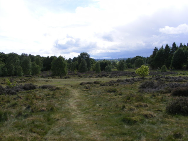
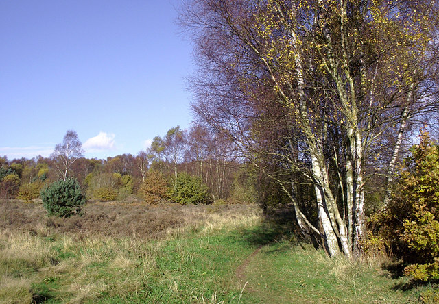
Paget's Gorse is a woodland located in Staffordshire, England. It is situated within the county's Cannock Chase area, renowned for its natural beauty and rich biodiversity. The gorse, a vibrant yellow-flowered shrub, dominates the landscape, giving the woodland its name.

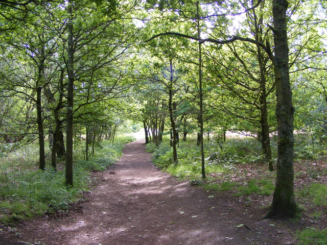
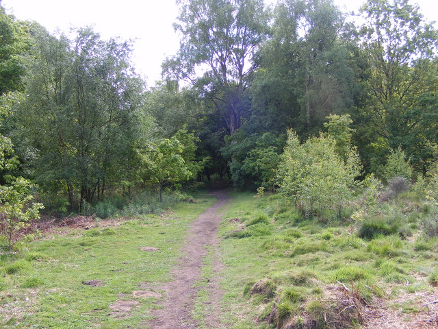
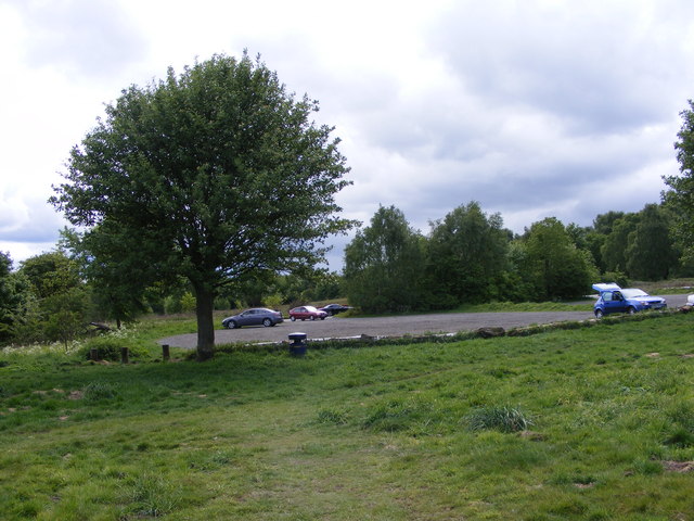
Covering an area of approximately 50 hectares, Paget's Gorse is a mix of ancient woodland and newer plantations. The woodland is a diverse habitat supporting a variety of flora and fauna. It is home to many native tree species such as oak, birch, and beech, providing a lush canopy that shelters the forest floor below.

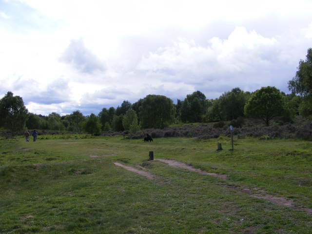
The woodland is rich in wildlife, attracting a wide range of bird species including woodpeckers, tits, and finches. Mammals such as foxes, badgers, and deer also inhabit the area, making it a popular destination for nature enthusiasts and photographers.

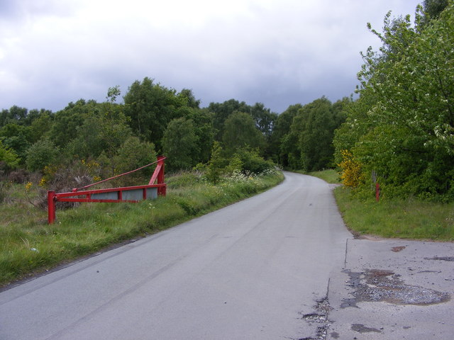
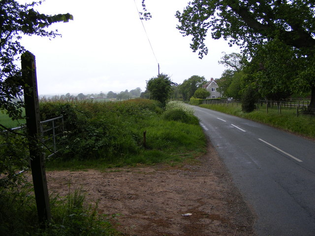
Paget's Gorse offers several well-maintained walking trails, allowing visitors to explore the woodland at their own pace. These paths wind through the dense vegetation, leading to picturesque viewpoints and tranquil spots where visitors can enjoy a moment of tranquility.

The woodland holds historical significance as well. It is believed that Paget's Gorse was once part of the extensive hunting grounds of the Paget family, who were prominent landowners in the area during the medieval period.

Overall, Paget's Gorse offers a peaceful and scenic escape from the hustle and bustle of everyday life. Its combination of ancient woodland, diverse wildlife, and historical connections make it a must-visit destination for those seeking to immerse themselves in the natural beauty of Staffordshire.

If you have any feedback on the listing, please let us know in the comments section below.

Paget's Gorse Images

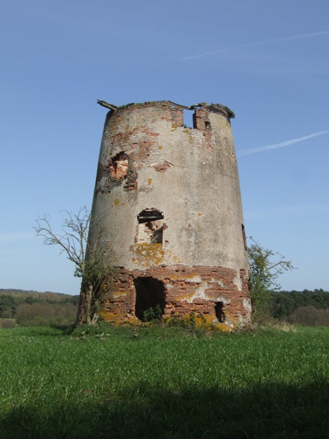
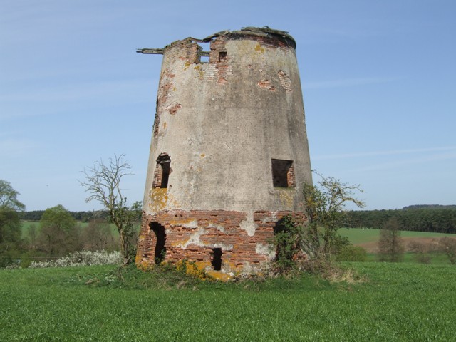
Images are sourced within 2km of 52.496997/-2.2489339 or Grid Reference SO8388. Thanks to Geograph Open Source API. All images are credited.

Enville windmill The tower mill on the edge of Enville Common built in 1800-1801 remained in use until 1870. The mill had four sails, boat cap and fantail. Little remains inside the shell except for sections of the turning ring for the boat cap. 

See <span class="nowrap"><a title="http://www.search.staffspasttrack.org.uk/engine/resource/default.asp?resource=11298" rel="nofollow ugc noopener" href="http://www.search.staffspasttrack.org.uk/engine/resource/default.asp?resource=11298">Link</a><img style="margin-left:2px;" alt="External link" title="External link - shift click to open in new window" src="https://s1.geograph.org.uk/img/external.png" width="10" height="10"/></span>
Enville windmill
The tower mill on the edge of Enville Common built in 1800-1801 remained in use until 1870. The mill had four sails, boat cap and fantail. Little remains inside the shell except for sections of the turning ring for the boat cap. See LinkExternal link
Enville windmill The tower mill on the edge of Enville Common built in 1800-1801 remained in use until 1870. The mill had four sails, boat cap and fantail. Little remains inside the shell except for sections of the turning ring for the boat cap. 

<span class="nowrap"><a title="http://www.search.staffspasttrack.org.uk/engine/resource/default.asp?resource=11298" rel="nofollow ugc noopener" href="http://www.search.staffspasttrack.org.uk/engine/resource/default.asp?resource=11298">Link</a><img style="margin-left:2px;" alt="External link" title="External link - shift click to open in new window" src="https://s1.geograph.org.uk/img/external.png" width="10" height="10"/></span>
Enville windmill
The tower mill on the edge of Enville Common built in 1800-1801 remained in use until 1870. The mill had four sails, boat cap and fantail. Little remains inside the shell except for sections of the turning ring for the boat cap. LinkExternal link
Mill farm Estate farm in Mill Lane.
Mill farm
Estate farm in Mill Lane.
Spittlebrook Mill Estate property on the Enville Estate.
Spittlebrook Mill
Estate property on the Enville Estate.
Highgate Path The view from near White House Lane of the footpath on Highgate Common Country Park.
Highgate Path
The view from near White House Lane of the footpath on Highgate Common Country Park.
Highgate Clearing The view of the footpath on Highgate Common Country Park.
Highgate Clearing
The view of the footpath on Highgate Common Country Park.
Highgate View The view from Birches Coppice Car Park off White House Lane over Highgate Common Country Park.
Highgate View
The view from Birches Coppice Car Park off White House Lane over Highgate Common Country Park.
Highgate Common View The view over Highgate Common Country Park.
Highgate Common View
The view over Highgate Common Country Park.
Highgate Car Park View The view of the car park off Camp Hill Road from Highgate Common Country Park.
Highgate Car Park View
The view of the car park off Camp Hill Road from Highgate Common Country Park.
Highgate Road Gate The view of Camp Hill Road on Highgate Common Country Park.
Highgate Road Gate
The view of Camp Hill Road on Highgate Common Country Park.
Highgate Road Junction The view of Camp Hill Road and Highgate Road junction on Highgate Common Country Park.
Highgate Road Junction
The view of Camp Hill Road and Highgate Road junction on Highgate Common Country Park.
Staffordshire Way View The view of Crab Lane near Highgate Common Country Park.
Staffordshire Way View
The view of Crab Lane near Highgate Common Country Park.
Llama Herd The view by Mere Hall from the Staffordshire Way.
Llama Herd
The view by Mere Hall from the Staffordshire Way.
Cottages On Junction Of Chester Road & Hoo Lane.
Chasepool Lodge trig in evening sunshine Looking NNE across the autumn fields, with Chasepool Farm in the middle distance.
Chasepool Lodge trig in evening sunshine
Looking NNE across the autumn fields, with Chasepool Farm in the middle distance.
Camp Hill Road near Swindon, Staffordshire Off to the left is Enville Common Road. Ahead is the way to Highgate Common.
Camp Hill Road near Swindon, Staffordshire
Off to the left is Enville Common Road. Ahead is the way to Highgate Common.
Enville Common Road south-west of Swindon, Staffordshire Looking south-west from near the junction with Chasepool Road and Camp Hill Road.
Enville Common Road south-west of Swindon, Staffordshire
Looking south-west from near the junction with Chasepool Road and Camp Hill Road.
Highgate Common south-west of Wombourne, Staffordshire Highgate Common is a Staffordshire Wildlife Trust reserve containing a mix of heathland and woodland. It is about 129 hectares or 320 acres in size and is a Site of Special Scientific Interest. (Wikipedia)

This is a very popular area for walkers (including dog-walkers) at any time of the year.

<span class="nowrap"><a title="http://en.wikipedia.org/wiki/Highgate_Common" rel="nofollow ugc noopener" href="http://en.wikipedia.org/wiki/Highgate_Common">Link</a><img style="margin-left:2px;" alt="External link" title="External link - shift click to open in new window" src="https://s1.geograph.org.uk/img/external.png" width="10" height="10"/></span>
Highgate Common south-west of Wombourne, Staffordshire
Highgate Common is a Staffordshire Wildlife Trust reserve containing a mix of heathland and woodland. It is about 129 hectares or 320 acres in size and is a Site of Special Scientific Interest. (Wikipedia) This is a very popular area for walkers (including dog-walkers) at any time of the year. LinkExternal link
Show me another place!

Paget's Gorse is located at Grid Ref: SO8388 (Lat: 52.496997, Lng: -2.2489339)

Administrative County: Staffordshire

District: South Staffordshire

Police Authority: Staffordshire

What 3 Words

///timing.gained.validated. Near Kinvere, Staffordshire

Nearby Locations

Paget's Gorse

Related Wikis

Highgate Common

Highgate Common is a Staffordshire Wildlife Trust reserve containing a mix of heathland and woodland. It is about 116 hectares or 286 acres in size. The...

West Midlands (region)

The West Midlands is one of nine official regions of England at the first level of International Territorial Level for statistical purposes. It covers...

Enville, Staffordshire

Enville is a village and civil parish in rural Staffordshire, England, on the A458 road between Stourbridge and Bridgnorth. Enville is in the South Staffordshire...

Wolverhampton Airport

Wolverhampton Halfpenny Green Airport (ICAO: EGBO), formerly Halfpenny Green Airport and Wolverhampton Business Airport, locally Bobbington Airport, is...

Have you been to Paget's Gorse?

Leave your review of Paget's Gorse below (or comments, questions and feedback).