Holme Wood

Wood, Forest in Westmorland Eden

England

Holme Wood

The road to Kaber
The road to Kaber Credit: John H Darch

Holme Wood, located in the county of Westmorland, is a picturesque forest that covers an area of approximately 500 acres. It is situated on the eastern side of the county, in close proximity to the town of Kendal. The forest is known for its diverse range of flora and fauna, making it a popular destination for nature enthusiasts and hikers.

The wood is predominantly made up of deciduous trees, including oak, birch, and beech, which create a vibrant and colorful landscape during the autumn months. The forest floor is covered with a carpet of ferns, bluebells, and wildflowers, adding to the beauty of the surroundings.

Holme Wood is also home to a variety of wildlife species. Visitors may be lucky enough to spot deer, foxes, badgers, and a wide array of bird species, including owls, woodpeckers, and thrushes. The forest provides a natural habitat for these creatures, ensuring their survival and contributing to the overall biodiversity of the area.

The wood offers several walking trails and paths, allowing visitors to explore the forest and take in its natural beauty. These trails range in difficulty, catering to both casual strollers and more experienced hikers. Along the way, there are several lookout points and picnic areas, providing opportunities to rest and enjoy the tranquil surroundings.

Overall, Holme Wood in Westmorland is a haven for nature lovers, offering a serene and immersive experience in the heart of England's countryside.

If you have any feedback on the listing, please let us know in the comments section below.
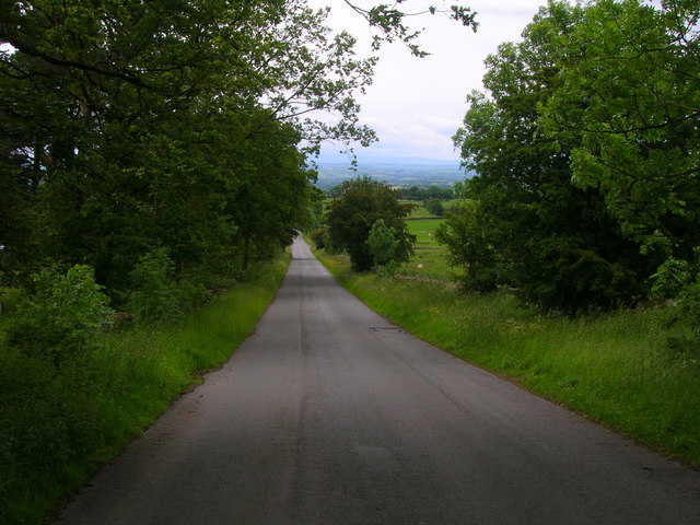
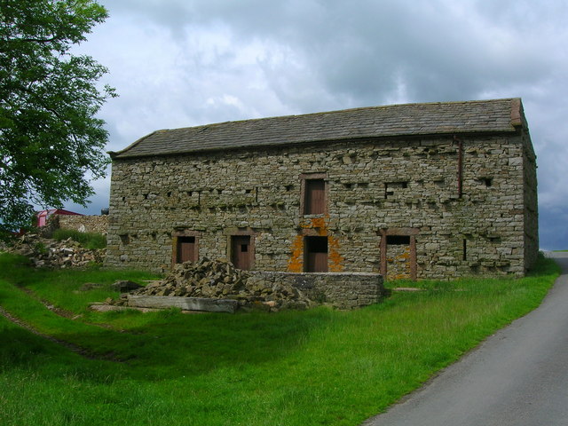
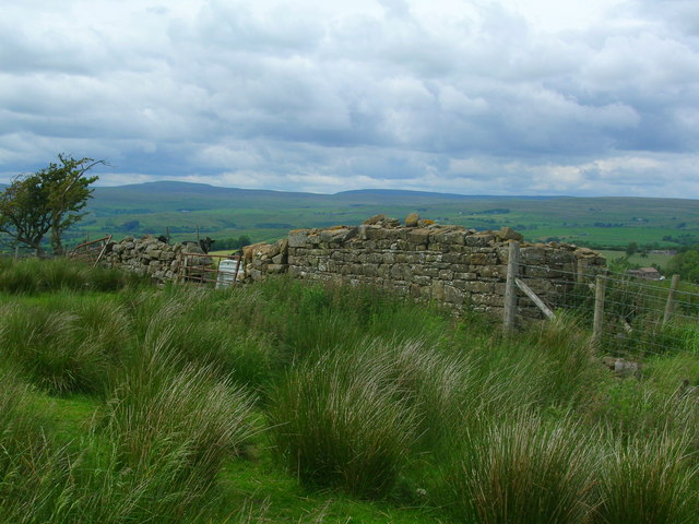
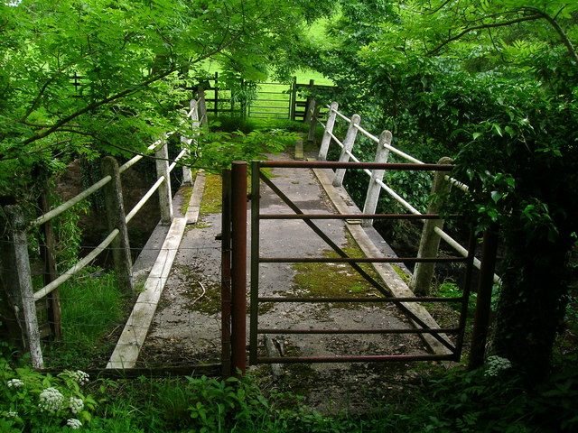
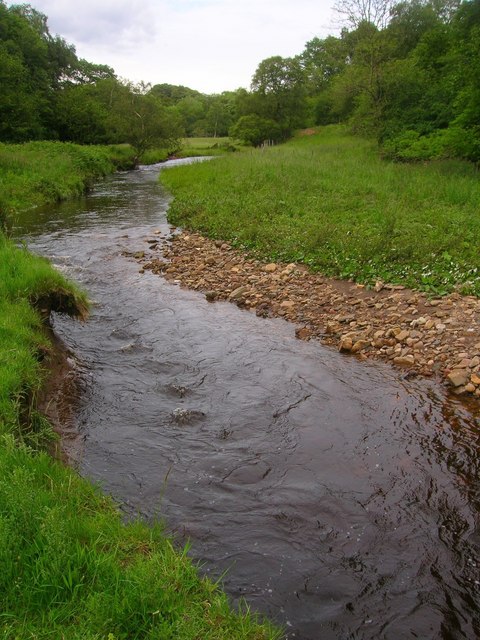
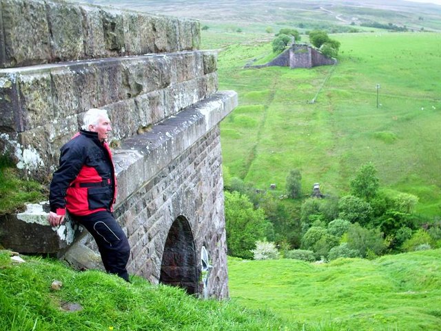
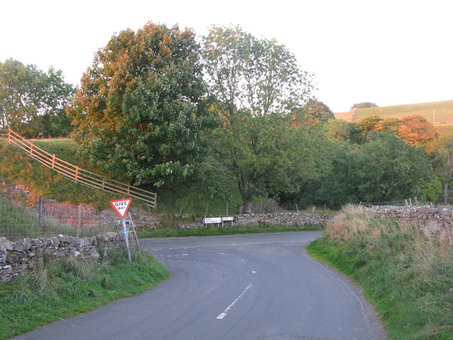
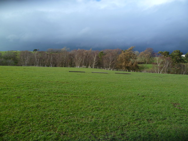
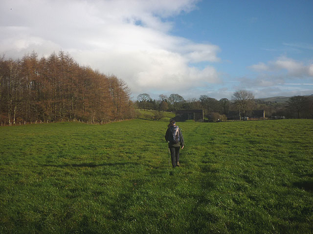
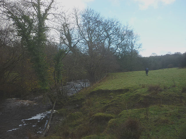
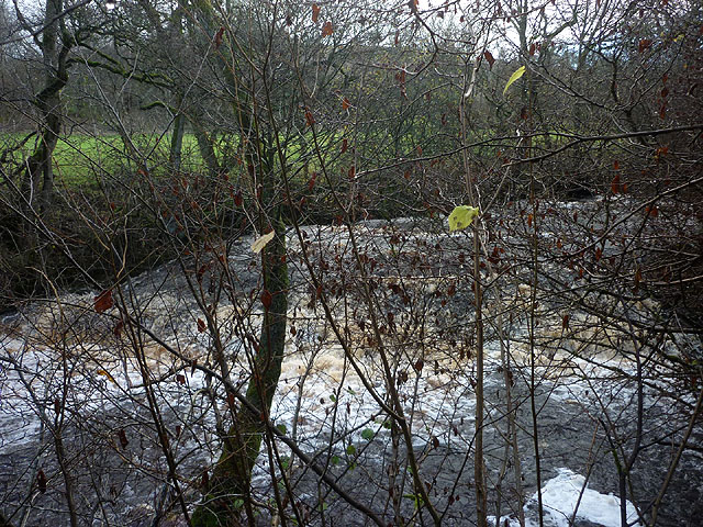
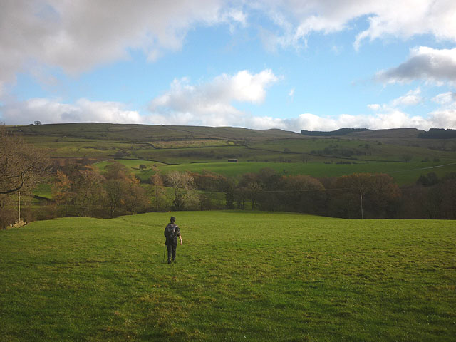
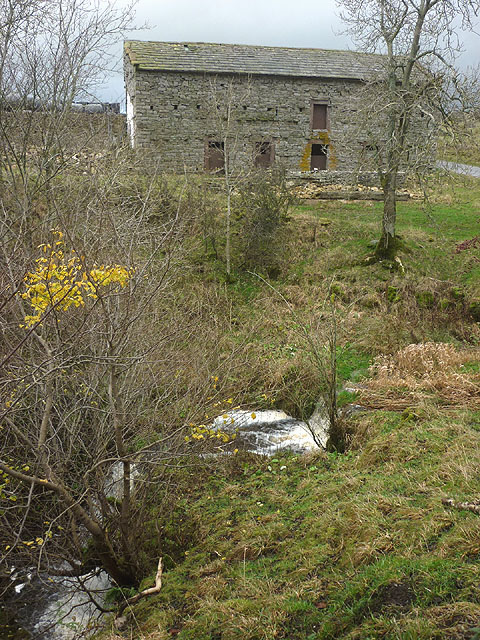
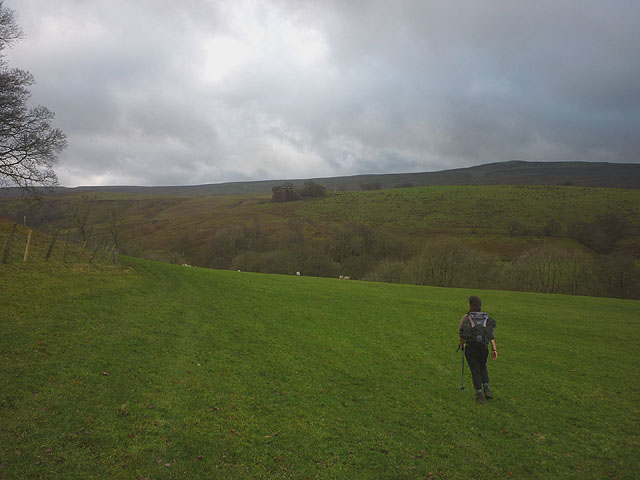
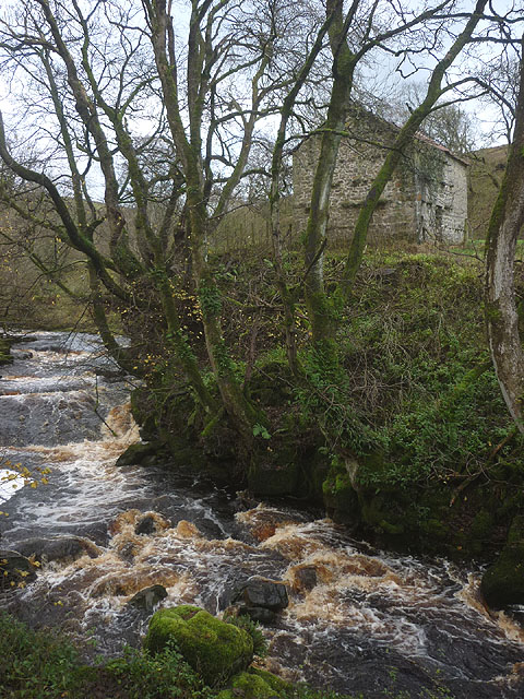
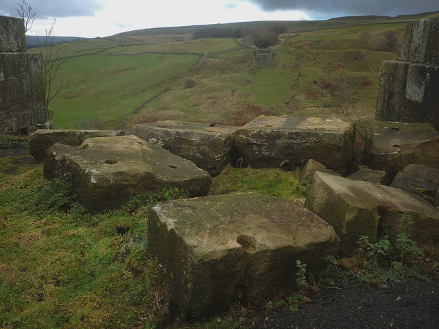
Holme Wood Images

Images are sourced within 2km of 54.49644/-2.2611411 or Grid Reference NY8311. Thanks to Geograph Open Source API. All images are credited.

The road to Kaber
The road to Kaber
Barn by Swine Gill
Barn by Swine Gill
Ruined barn west of River Belah Mickle Fell can be seen on the horizon.
Ruined barn west of River Belah
Mickle Fell can be seen on the horizon.
Footbridge over River Belah at Field Head
Farm track from Field Head
Argill Beck
Argill Beck
Belah Viaduct ( Barras ) The stone buttresses of the once mighty Belah Viaduct, on the redundant railway to Kirkby Stephen from Barnard Castle.
Belah Viaduct ( Barras )
The stone buttresses of the once mighty Belah Viaduct, on the redundant railway to Kirkby Stephen from Barnard Castle.
T-Junction at Barras Approaching this junction along the road from Tan Hill Inn, you get advance warning because the junction is at the end of a steep hill on a bend.
T-Junction at Barras
Approaching this junction along the road from Tan Hill Inn, you get advance warning because the junction is at the end of a steep hill on a bend.
Argill Bridge Spans Argill Beck near Brough.
Argill Bridge
Spans Argill Beck near Brough.
Tree Line, Hocker Gill Looking over an empty pasture towards the purple tinged birches growing in Hocker Gill
Tree Line, Hocker Gill
Looking over an empty pasture towards the purple tinged birches growing in Hocker Gill
Bridleway approaching Field Head Heading for the footbridge that crosses the River Belah.
Bridleway approaching Field Head
Heading for the footbridge that crosses the River Belah.
Footpath by the Belah An unmarked route heads through pastureland beside the swiftly flowing river to Oxenthwaite Bridge.
Footpath by the Belah
An unmarked route heads through pastureland beside the swiftly flowing river to Oxenthwaite Bridge.
Waterfall on the River Belah Beside the public footpath but difficult to see clearly through the trees and with a drop to the river side.
Waterfall on the River Belah
Beside the public footpath but difficult to see clearly through the trees and with a drop to the river side.
Footpath above Hocker Gill The route passes through pastureland, crossing a tributary of the wooded gill before reaching the minor road beyond.
Footpath above Hocker Gill
The route passes through pastureland, crossing a tributary of the wooded gill before reaching the minor road beyond.
Waterfall and barn, Swine Gill Just below the road the beck falls over a substantial drop. It does not have a name on the map so I shall christen it 'Swine Gill Force' since it is certainly deserves to be noticed.
Waterfall and barn, Swine Gill
Just below the road the beck falls over a substantial drop. It does not have a name on the map so I shall christen it 'Swine Gill Force' since it is certainly deserves to be noticed.
Footpath to Powleyclose Bridge Below New Hall the path drops down towards the wooded Belah through pastureland. High on the far side is the southern abutment of the old Belah Viaduct.
Footpath to Powleyclose Bridge
Below New Hall the path drops down towards the wooded Belah through pastureland. High on the far side is the southern abutment of the old Belah Viaduct.
The River Belah at Powleyclose Bridge The river descends steeply over shelves and boulders of limestone and sandstone. Just above is an intact stone field barn.
The River Belah at Powleyclose Bridge
The river descends steeply over shelves and boulders of limestone and sandstone. Just above is an intact stone field barn.
Masonry blocks, Bela Viaduct These massive blocks of sandstone masonry have been left perched by the brink of the southern abutment. They were left here after the iron latticework span <span class="nowrap"><a title="http://www.forgottenrelics.co.uk/bridges/images/belah/belah-1.jpg" rel="nofollow ugc noopener" href="http://www.forgottenrelics.co.uk/bridges/images/belah/belah-1.jpg">Link</a><img style="margin-left:2px;" alt="External link" title="External link - shift click to open in new window" src="https://s1.geograph.org.uk/img/external.png" width="10" height="10"/></span> was dismantled in 1963. In the distance, across the great gulf of the Belah valley can be seen the northern abutment.
Masonry blocks, Bela Viaduct
These massive blocks of sandstone masonry have been left perched by the brink of the southern abutment. They were left here after the iron latticework span LinkExternal link was dismantled in 1963. In the distance, across the great gulf of the Belah valley can be seen the northern abutment.
Show me another place!

Holme Wood is located at Grid Ref: NY8311 (Lat: 54.49644, Lng: -2.2611411)

Administrative County: Cumbria

District: Eden

Police Authority: Cumbria

What 3 Words

///menswear.ferrying.jaunts. Near Kirkby Stephen, Cumbria

Nearby Locations

Holme Wood

Related Wikis

Belah Viaduct

The Belah Viaduct was a railway viaduct on the South Durham and Lancashire Union Railway, crossing the River Belah, in Cumbria, England, about 1 mile...

Barras, Cumbria

Barras is a hamlet close to the River Belah, about 4 miles (6 kilometres) south-east of Brough, Cumbria, England. Until the creation of the new county...

Barras railway station

Barras railway station was situated on the South Durham & Lancashire Union Railway between Barnard Castle and Kirkby Stephen East. == History == The station...

Snowdrift at Bleath Gill

Snowdrift at Bleath Gill is a 1955 British Transport Film documentary directed by Kenneth Fairbairn. The 10-minute-long film presents a first-hand account...

Nearby Amenities

Located within 500m of 54.49644,-2.2611411
Broxty House
Place: farm
Lat/Long: 54.496754/-2.2655878
Oak Bank
Place: farm
Lat/Long: 54.4968218/-2.2569645
Arras Close
Place: locality
Lat/Long: 54.4941119/-2.2660251
Tutt Hill
Place: locality
Lat/Long: 54.4952712/-2.2628257
Holme Wood
Natural: wood
Lat/Long: 54.4987561/-2.2613668
Power: pole
Lat/Long: 54.4921784/-2.2625245
Power: pole
Lat/Long: 54.4927645/-2.2616263
Power: pole
Lat/Long: 54.4933372/-2.2607488
Power: pole
Lat/Long: 54.4938677/-2.2599164
Power: pole
Lat/Long: 54.4943432/-2.2591946
Power: pole
Lat/Long: 54.494682/-2.2586568
Power: pole
Lat/Long: 54.4954789/-2.2574407
Power: pole
Lat/Long: 54.4962403/-2.256282
Power: pole
Lat/Long: 54.4972026/-2.2561574
Power: pole
Lat/Long: 54.4979869/-2.2560309
Power: pole
Lat/Long: 54.4988631/-2.2559103
Power: pole
Lat/Long: 54.4920842/-2.260207
Power: pole
Lat/Long: 54.4962374/-2.2647362
The data included in this document is from www.openstreetmap.org. The data is made available under ODbL.

Have you been to Holme Wood?

Leave your review of Holme Wood below (or comments, questions and feedback).