Crawton
Settlement in Kincardineshire
Scotland
Crawton
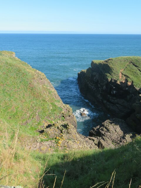
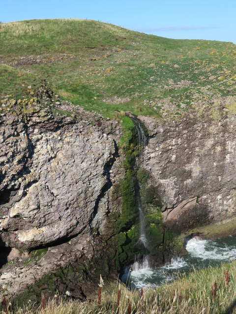
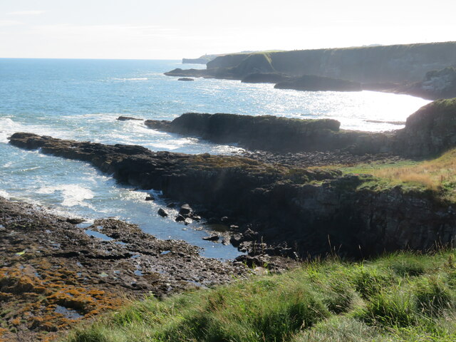
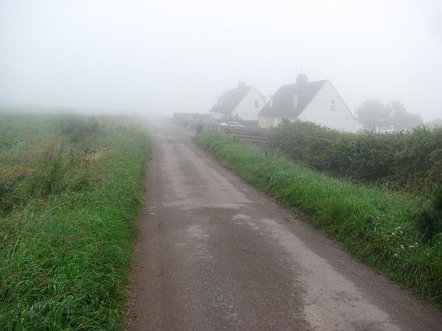
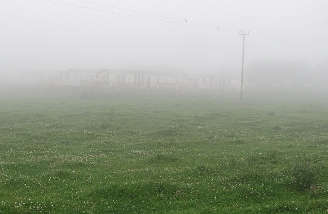
Crawton is a small village located in the county of Kincardineshire, Scotland. Situated on the eastern coast of Scotland, it lies approximately 10 miles south of Stonehaven and 25 miles south of Aberdeen. The village is nestled amidst picturesque rolling hills and offers stunning views of the North Sea.
Crawton is known for its tranquil and idyllic setting, making it a popular destination for those seeking a peaceful retreat. The village is characterized by its charming stone houses and narrow winding streets, which add to its traditional Scottish appeal. Its close proximity to the coast also makes it a favored spot for outdoor enthusiasts, with opportunities for coastal walks, bird-watching, and fishing.
While Crawton may be small in size, it boasts a tight-knit community that takes pride in its rich history. The village is home to a few local amenities, including a village hall, a small convenience store, and a quaint pub serving traditional Scottish fare. The community also organizes various events throughout the year, such as summer fairs and Christmas celebrations, fostering a strong sense of belonging among its residents.
For those looking to explore beyond Crawton's borders, the nearby town of Stonehaven offers a wider range of amenities, including shops, restaurants, and cultural attractions. Additionally, Aberdeen, the third-largest city in Scotland, is within easy reach, offering a wealth of shopping, entertainment, and educational opportunities.
Overall, Crawton is a charming village that combines natural beauty with a strong sense of community, making it an appealing destination for both residents and visitors alike.
If you have any feedback on the listing, please let us know in the comments section below.
Crawton Images
Images are sourced within 2km of 56.90216/-2.2150564 or Grid Reference NO8779. Thanks to Geograph Open Source API. All images are credited.


Crawton is located at Grid Ref: NO8779 (Lat: 56.90216, Lng: -2.2150564)
Unitary Authority: Aberdeenshire
Police Authority: North East
What 3 Words
///potential.rumbles.sweeter. Near Stonehaven, Aberdeenshire
Nearby Locations
Related Wikis

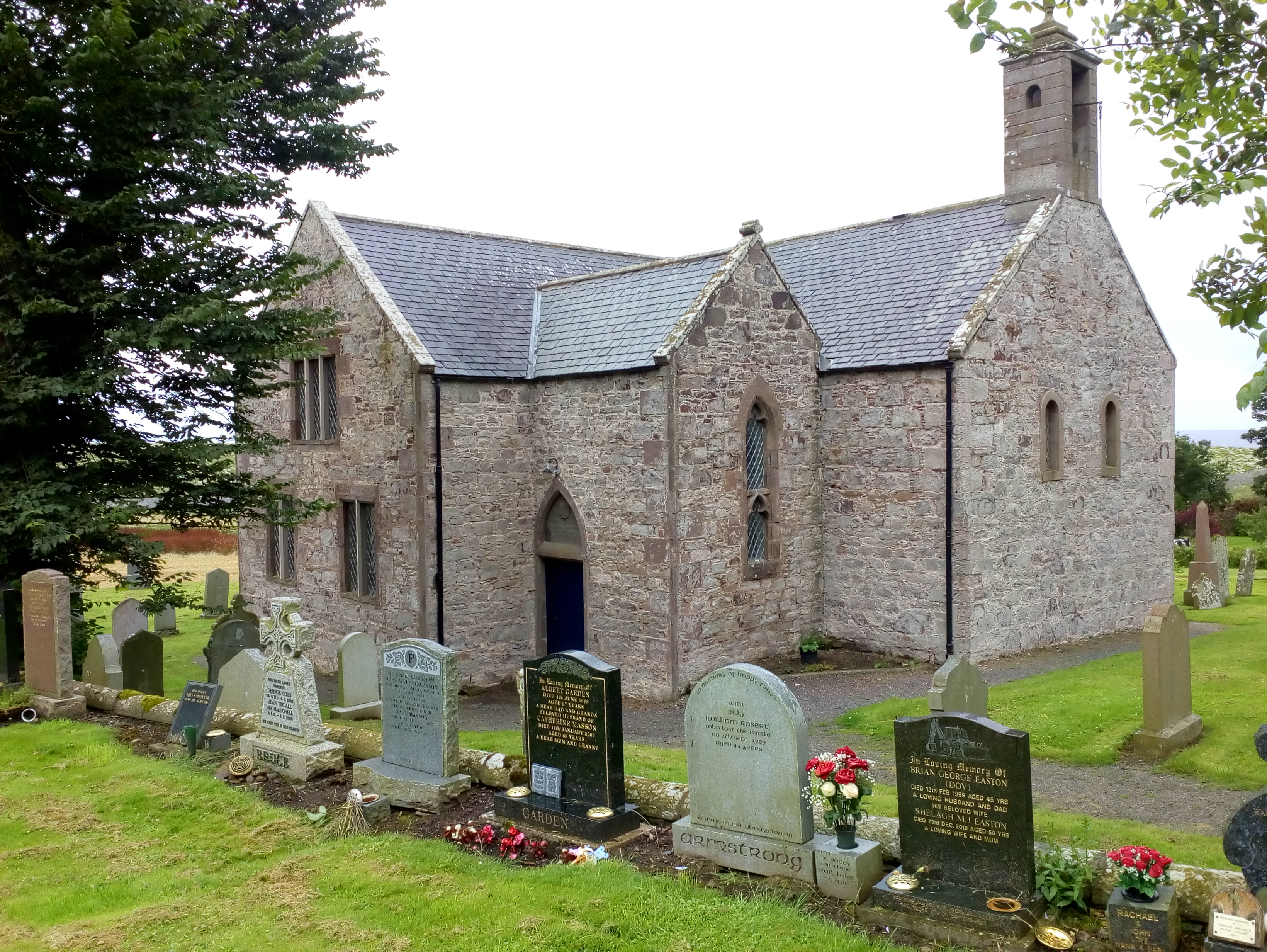
Catterline
Catterline is a coastal village on the North Sea in Aberdeenshire, Scotland. It is situated about 5 miles (8.0 km) south of Stonehaven; nearby to the...

Crawton
Crawton is a former fishing community on the southeast Aberdeenshire coast in Scotland, deserted since 1927. Approximately three miles south of Stonehaven...

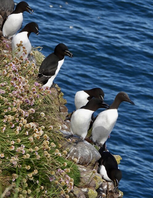
Fowlsheugh
Fowlsheugh is a coastal nature reserve in Kincardineshire, northeast Scotland, known for its 70-metre-high (230 ft) cliff formations and habitat supporting...

Craiglethy
Craiglethy (Scottish Gaelic: Creag Liathach - meaning grey rock) is a small island/skerry off Fowlsheugh on the east coast of Aberdeenshire, Scotland in...
Thornyhive Bay
Thornyhive Bay is an embayment along the North Sea coast in Aberdeenshire, Scotland. This bay is situated approximately 2.5 miles south of the town of...
Kinneff
Kinneff is a roadside hamlet in Aberdeenshire, Scotland, just north of Inverbervie. To the north lies another hamlet, Catterline. Kinneff also has a primary...

Dunnottar Castle
Dunnottar Castle (Scottish Gaelic: Dùn Fhoithear, "fort on the shelving slope") is a ruined medieval fortress located upon a rocky headland on the north...
Castle of Fiddes
The Castle of Fiddes is a 16th-century tower house in Aberdeenshire, Scotland, located around 6 kilometres (3.7 mi) south-west of Stonehaven. It is dated...
Nearby Amenities
Located within 500m of 56.90216,-2.2150564Have you been to Crawton?
Leave your review of Crawton below (or comments, questions and feedback).