Cow Pasture

Wood, Forest in Yorkshire Craven

England

Cow Pasture

Langstrothdale Enclosure in the forest.
Langstrothdale Credit: Peter McDermott

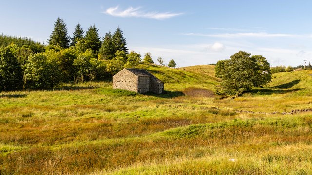
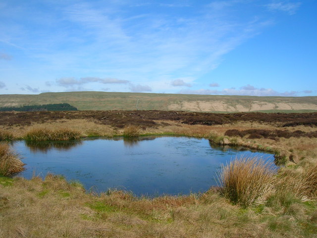
Cow Pasture is a picturesque wood located in Yorkshire, England. It covers an area of approximately 100 acres and is known for its dense forest and abundance of cow pastures. The wood is situated in a rural area, surrounded by rolling hills and open fields, creating a serene and idyllic setting.

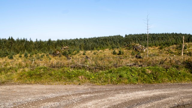
The forest is predominantly composed of deciduous trees, such as oak, beech, and birch, which create a vibrant and colorful canopy during the autumn months. The dense vegetation provides a haven for a variety of wildlife, including deer, foxes, rabbits, and a plethora of bird species. Birdwatchers frequently visit Cow Pasture to observe the diverse array of avian life.

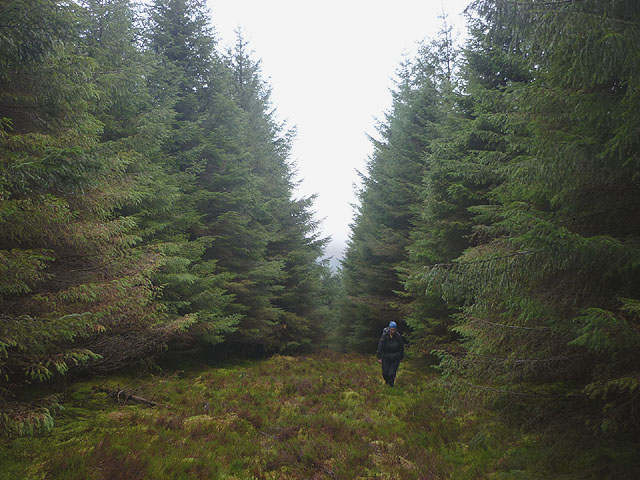
Traversing through the wood, visitors will find well-maintained trails that meander through the trees, offering a peaceful and tranquil walking experience. The trails are suitable for all ages and abilities, with options for longer hikes or shorter strolls. Along the paths, visitors may come across charming wooden benches, providing opportunities to rest and soak in the natural beauty of the surroundings.

Cow Pasture is a popular destination for nature enthusiasts, hikers, and families alike. The wood offers a fantastic escape from the hustle and bustle of urban life, allowing visitors to reconnect with nature and enjoy the peaceful ambiance. Whether it's a leisurely walk, a picnic, or birdwatching, Cow Pasture provides a delightful experience for all who venture into its enchanting landscape.

If you have any feedback on the listing, please let us know in the comments section below.
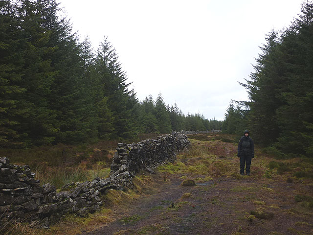
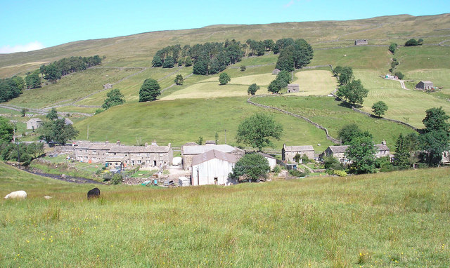
Cow Pasture Images

Images are sourced within 2km of 54.206223/-2.2626479 or Grid Reference SD8278. Thanks to Geograph Open Source API. All images are credited.

Langstrothdale Enclosure in the forest.
Langstrothdale
Enclosure in the forest.
Langstrothdale Meeting of roads in Langstrothdale.
Langstrothdale
Meeting of roads in Langstrothdale.
Low Barn Low Barn at High Green Field Farm.
Low Barn
Low Barn at High Green Field Farm.
Green Field Beck Road crossing Green Field Beck.

See also <a href="https://www.geograph.org.uk/photo/7596000">SD8278 : Green Field Beck</a>.
Green Field Beck
Road crossing Green Field Beck. See also SD8278 : Green Field Beck.
Green Field Beck Bridge crossing Green Field Beck.

See also <a href="https://www.geograph.org.uk/photo/7595999">SD8278 : Green Field Beck</a>.
Green Field Beck
Bridge crossing Green Field Beck. See also SD8278 : Green Field Beck.
Thatch Barn Field Ruined buildings in Thatch Barn Field.
Thatch Barn Field
Ruined buildings in Thatch Barn Field.
Far Barn Far Barn at High Green Field Farm.
Far Barn
Far Barn at High Green Field Farm.
Lamgstrothdale Forest in Langstrothdale.
Lamgstrothdale
Forest in Langstrothdale.
High Green Fields Lings Clearfell area in the forest at High Green Fields Lings.
High Green Fields Lings
Clearfell area in the forest at High Green Fields Lings.
Cam Woodlands A drainage channel overgrown with moss, and empty after a very dry start to April, is surrounded by closely planted pines.  The footpath in Cam Woodlands is hard to follow because of fallen trees across it and drainage channels are often easier to follow.
Cam Woodlands
A drainage channel overgrown with moss, and empty after a very dry start to April, is surrounded by closely planted pines. The footpath in Cam Woodlands is hard to follow because of fallen trees across it and drainage channels are often easier to follow.
Cam Rakes Forest Boundary The forest is dense and walking is easier along the boundary rather than on the footpath inside the forest to the right.
Cam Rakes Forest Boundary
The forest is dense and walking is easier along the boundary rather than on the footpath inside the forest to the right.
Cam Rakes Rough moor land at Cam Rakes, then forest and then a good profile of Ingleborough in distance. There is a pond to the right of the photographer.
Cam Rakes
Rough moor land at Cam Rakes, then forest and then a good profile of Ingleborough in distance. There is a pond to the right of the photographer.
Pond on Cam Rakes After a long spell without rain, the pond had kept its water.
Pond on Cam Rakes
After a long spell without rain, the pond had kept its water.
Langstrothdale and the head of Wharfe Dale Plantations on Cam Fell, Sikes Moor and Green Field Knott. Green Field Beck runs east, 'up' the picture to Beckermond, where it joins the River Wharfe, which was the Oughtershaw Beck until it became the River Wharfe about 1 km upstream.
Langstrothdale and the head of Wharfe Dale
Plantations on Cam Fell, Sikes Moor and Green Field Knott. Green Field Beck runs east, 'up' the picture to Beckermond, where it joins the River Wharfe, which was the Oughtershaw Beck until it became the River Wharfe about 1 km upstream.
Rough Pasture beside Cam Woodlands The view is across the upper valley of Cam Beck with Cam Woodlands at the left side of the image. The shadowed collection of buildings is Cam Houses.
Rough Pasture beside Cam Woodlands
The view is across the upper valley of Cam Beck with Cam Woodlands at the left side of the image. The shadowed collection of buildings is Cam Houses.
Escape from the forest After failing to locate the footpath which we hoped would lead us to the forest edge we decided to try a likely-looking ride. It ran quite easily (apart from a leap across a drainage ditch) to the outside world of wind and rain.
Escape from the forest
After failing to locate the footpath which we hoped would lead us to the forest edge we decided to try a likely-looking ride. It ran quite easily (apart from a leap across a drainage ditch) to the outside world of wind and rain.
New fence above Cam Rakes Encountered close to where the public footpath enters the forest.
New fence above Cam Rakes
Encountered close to where the public footpath enters the forest.
Wall in the forest Luckily for us, the wall running through the forest south west of Low Green Field Lings has ample space on both sides to allow easy progress. The break gave good shelter from the wind and rain too.
Wall in the forest
Luckily for us, the wall running through the forest south west of Low Green Field Lings has ample space on both sides to allow easy progress. The break gave good shelter from the wind and rain too.
Show me another place!

Cow Pasture is located at Grid Ref: SD8278 (Lat: 54.206223, Lng: -2.2626479)

Division: West Riding

Administrative County: North Yorkshire

District: Craven

Police Authority: North Yorkshire

What 3 Words

///concluded.deflation.being. Near Ingleton, North Yorkshire

Nearby Locations

Cow Pasture

Related Wikis

Nearby Amenities

Located within 500m of 54.206223,-2.2626479
Natural: spring
Source: OS 1:25k
Lat/Long: 54.2044164/-2.25844
Power: pole
Lat/Long: 54.2103389/-2.2596419
Power: pole
Lat/Long: 54.2098103/-2.2604206
Power: pole
Lat/Long: 54.209098/-2.2608649
The data included in this document is from www.openstreetmap.org. The data is made available under ODbL.

Have you been to Cow Pasture?

Leave your review of Cow Pasture below (or comments, questions and feedback).