King's Court Wood

Wood, Forest in Dorset

England

King's Court Wood

Ornate building, in central Gillingham
Ornate building, in central Gillingham Credit: Roger Cornfoot

King's Court Wood is a picturesque woodland located in the county of Dorset, England. Situated near the village of King's Court, the wood covers an area of approximately 50 acres and is a popular destination for nature enthusiasts and outdoor lovers alike.

This ancient woodland is known for its diverse range of plant and animal species, making it an important ecological site in the region. The wood consists primarily of broadleaf trees, including oak, beech, and ash, which create a vibrant and lush canopy during the summer months. Beneath the towering trees, a rich understory of wildflowers, ferns, and mosses can be found, adding to the area's natural beauty.

The wood is crisscrossed with a network of well-maintained footpaths, allowing visitors to explore its tranquil surroundings. These pathways lead to various points of interest, such as secluded glades, babbling brooks, and small ponds, where wildlife can often be spotted. Birdwatchers will particularly enjoy the wood, as it is home to a variety of species, including woodpeckers, owls, and songbirds.

Aside from its natural beauty, King's Court Wood also holds historical significance. The area has evidence of human habitation dating back to the Iron Age, with remnants of ancient settlements and burial sites scattered throughout the wood. These archaeological sites provide a glimpse into the area's past and add an extra layer of intrigue for history enthusiasts.

Overall, King's Court Wood is a captivating destination that offers a peaceful retreat from the hustle and bustle of everyday life. Its natural and historical significance make it an ideal place for those seeking to connect with nature and explore the rich heritage of Dorset.

If you have any feedback on the listing, please let us know in the comments section below.

King's Court Wood Images

Images are sourced within 2km of 51.03902/-2.2459674 or Grid Reference ST8226. Thanks to Geograph Open Source API. All images are credited.

Ornate building, in central Gillingham
Gillingham Station Building opposite Gillingham Railway Station.
Gillingham Station
Building opposite Gillingham Railway Station.
Passengers, cycle parking, car parking, bridge at Gillingham station
Gillingham Post Office On High Street.
Gillingham Post Office
On High Street.
Cole Street Farm On Cole Street Lane. "The Threshold Centre at Cole Street Farm is a unique, pioneering cohousing community and sustainable education centre, which aims to demonstrate a way of life, which is more green, affordable, and neighbourly" <span class="nowrap"><a title="http://www.thresholdcentre.org.uk/" rel="nofollow ugc noopener" href="http://www.thresholdcentre.org.uk/">Link</a><img style="margin-left:2px;" alt="External link" title="External link - shift click to open in new window" src="https://s1.geograph.org.uk/img/external.png" width="10" height="10"/></span> . The "cohousing scheme at Cole Street Farm ... consists of fourteen dwellings".
Cole Street Farm
On Cole Street Lane. "The Threshold Centre at Cole Street Farm is a unique, pioneering cohousing community and sustainable education centre, which aims to demonstrate a way of life, which is more green, affordable, and neighbourly" LinkExternal link . The "cohousing scheme at Cole Street Farm ... consists of fourteen dwellings".
Meadow by Cole Street Lane From footpath N64 79. The farm is Meadow Brook Farm; some buildings are in the next square.
Meadow by Cole Street Lane
From footpath N64 79. The farm is Meadow Brook Farm; some buildings are in the next square.
Houses on New Road, Gillingham Brick houses along the west side of the B3092.
Houses on New Road, Gillingham
Brick houses along the west side of the B3092.
Stile near Gillingham Footpath N64 79 crosses a stile between trees and heads towards Cole Street Lane. Bramblestones, the house on the lane, is in <a href="https://www.geograph.org.uk/gridref/ST8225">ST8225</a>.
Stile near Gillingham
Footpath N64 79 crosses a stile between trees and heads towards Cole Street Lane. Bramblestones, the house on the lane, is in ST8225.
Higher Station Road, Gillingham Leading from the B3081 to Newbury at the east end of the town centre.
Higher Station Road, Gillingham
Leading from the B3081 to Newbury at the east end of the town centre.
Olive Bowl, Gillingham A function venue on the Brickfields Business Park, and seen here across the B3092.
Olive Bowl, Gillingham
A function venue on the Brickfields Business Park, and seen here across the B3092.
Nexus Apartments, Gillingham On the B3092 New Road at the junction with Addison Close (left), and opposite 
<a href="https://www.geograph.org.uk/photo/5069931">ST8125 : Olive Bowl, Gillingham</a>.
Nexus Apartments, Gillingham
On the B3092 New Road at the junction with Addison Close (left), and opposite ST8125 : Olive Bowl, Gillingham.
Nexus Apartments, Gillingham Footpath N64 34 runs past the apartments also shown in <a href="https://www.geograph.org.uk/photo/5069942">ST8125 : Nexus Apartments, Gillingham</a>, to reach the B3092 New Road.
Nexus Apartments, Gillingham
Footpath N64 34 runs past the apartments also shown in ST8125 : Nexus Apartments, Gillingham, to reach the B3092 New Road.
Field near Gillingham From footpath N64 34 as it enters farmland near housing on The Meadows. The hill is Duncliffe Hill.
Field near Gillingham
From footpath N64 34 as it enters farmland near housing on The Meadows. The hill is Duncliffe Hill.
Path approaching Gillingham Footpath N64 34 runs across this meadow. The houses on the right are on The Meadows; straight ahead is Meadowcroft. It's meadows all the way!
Path approaching Gillingham
Footpath N64 34 runs across this meadow. The houses on the right are on The Meadows; straight ahead is Meadowcroft. It's meadows all the way!
Bridge over the Lodden This footbridge carries footpath N64 34 across the small river.
Bridge over the Lodden
This footbridge carries footpath N64 34 across the small river.
Field by the Lodden Looking in the opposite direction from the same spot as <a href="https://www.geograph.org.uk/photo/5070072">ST8125 : Bridge over the Lodden</a>. Footpath N64 34 heads towards left of centre and the housing on the southern edge of Gillingham - see also <a href="https://www.geograph.org.uk/photo/5070010">ST8125 : Path approaching Gillingham</a>.
Field by the Lodden
Looking in the opposite direction from the same spot as ST8125 : Bridge over the Lodden. Footpath N64 34 heads towards left of centre and the housing on the southern edge of Gillingham - see also ST8125 : Path approaching Gillingham.
River Lodden From just across the footbridge shown in <a href="https://www.geograph.org.uk/photo/5070072">ST8125 : Bridge over the Lodden</a>. the river is fliwing to the left. The modern houses are on Wren Place.
River Lodden
From just across the footbridge shown in ST8125 : Bridge over the Lodden. the river is fliwing to the left. The modern houses are on Wren Place.
River Lodden The little river winds towards the footbridge shown in <a href="https://www.geograph.org.uk/photo/5070072">ST8125 : Bridge over the Lodden</a> past the spot where <a href="https://www.geograph.org.uk/photo/5070205">ST8125 : River Lodden</a> was taken.
River Lodden
The little river winds towards the footbridge shown in ST8125 : Bridge over the Lodden past the spot where ST8125 : River Lodden was taken.
Show me another place!

King's Court Wood is located at Grid Ref: ST8226 (Lat: 51.03902, Lng: -2.2459674)

Unitary Authority: Dorset

Police Authority: Dorset

What 3 Words

///sketching.houseboat.hopeless. Near Gillingham, Dorset

Nearby Locations

King's Court Wood

Related Wikis

Gillingham Town F.C.

Gillingham Town Football Club is a football club based in Gillingham, Dorset, England. Affiliated to the Dorset FA, they are currently members of the Western...
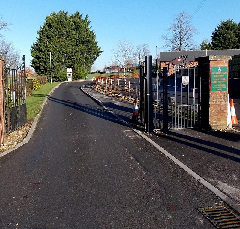
Gillingham School

Gillingham School is a coeducational school situated in Gillingham in North Dorset, England. Gillingham Grammar School can trace its foundation back to...

Bowridge Hill

Bowridge Hill is a hamlet 1 mile north east of Gillingham in Dorset, England, including the Grade II listed Lower Bowridge Hill Farmhouse, a 17th-century...

Gillingham railway station (Dorset)

Gillingham railway station is in Gillingham, Dorset, England. It is on the West of England Main Line, 105 miles 23 chains (169.4 km) down the line from...

Nearby Amenities

Located within 500m of 51.03902,-2.2459674
Barrier: stile
Foot: yes
Material: wood
Stile: stepover
Lat/Long: 51.0371535/-2.2426728
The data included in this document is from www.openstreetmap.org. The data is made available under ODbL.

Have you been to King's Court Wood?

Leave your review of King's Court Wood below (or comments, questions and feedback).