Gorse Covert

Wood, Forest in Staffordshire South Staffordshire

England

Gorse Covert

Gamekeepers Cottages. These Cottages are on the Enville Road, Compton Road crossroads. Just outside Kinver.
Gamekeepers Cottages. Credit: Mick Malpass

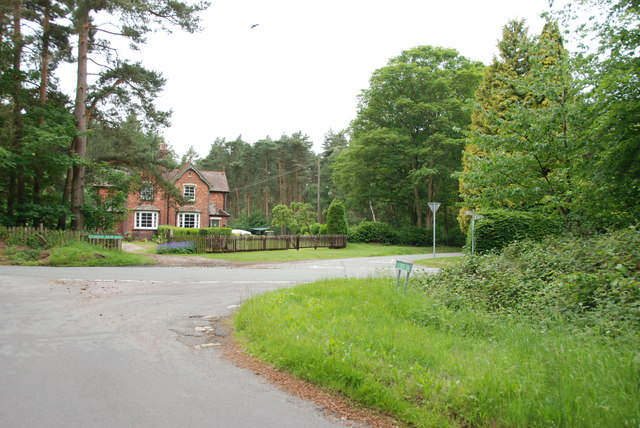
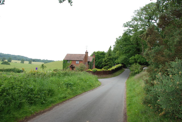
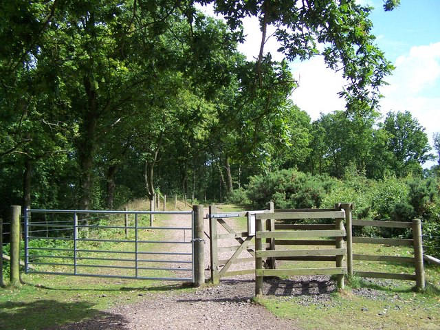
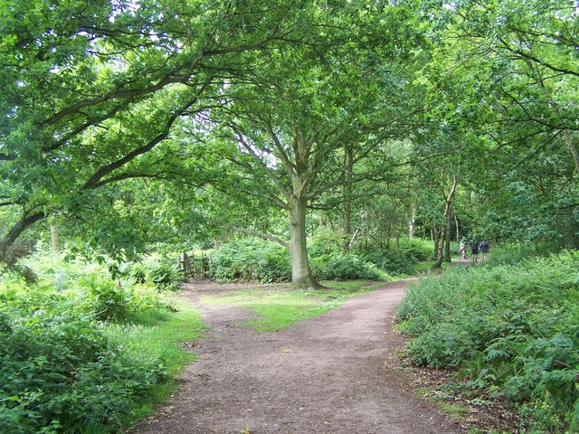
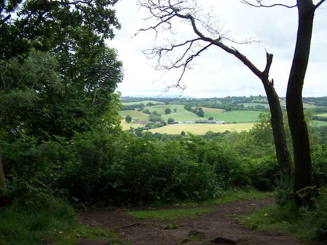
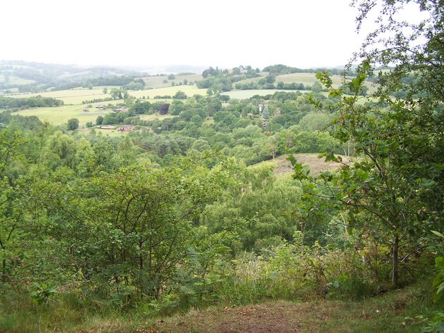
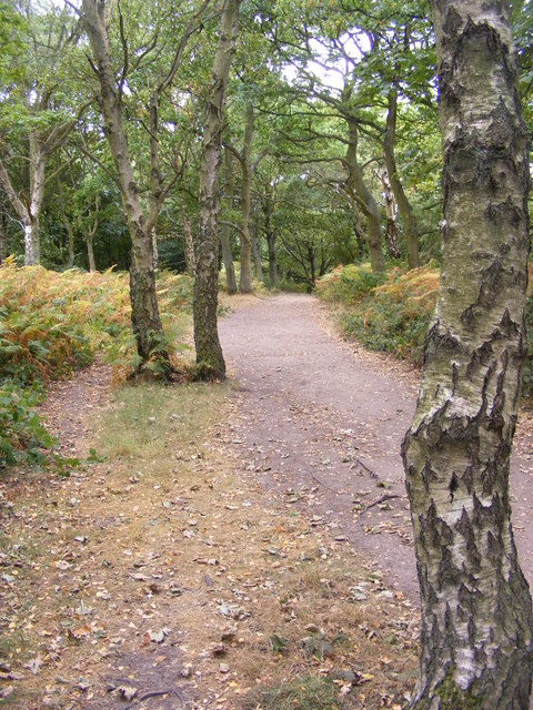
Gorse Covert, located in Staffordshire, England, is a picturesque wood known for its dense canopy of trees and vibrant wildlife. It is situated in the northern part of the county, near the town of Tamworth. Covering an area of approximately 150 acres, Gorse Covert boasts a mix of deciduous and coniferous trees, creating a diverse and rich ecosystem.

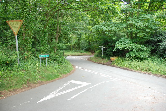
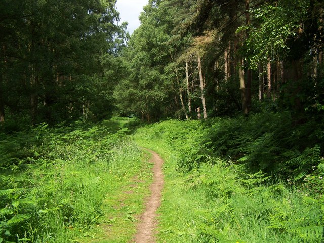
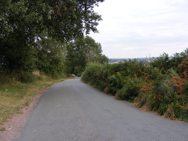
The wood is a popular destination for nature enthusiasts and outdoor adventurers. It offers a variety of walking paths and trails, allowing visitors to explore its beauty at their own pace. The peaceful surroundings make it an ideal spot for relaxation and reflection, away from the hustle and bustle of the nearby urban areas.

Gorse Covert is home to a wide range of flora and fauna, including various species of birds, mammals, and insects. Birdwatchers can spot common woodland birds such as woodpeckers, jays, and thrushes, while lucky visitors may even catch a glimpse of elusive creatures like deer or foxes. The wood's diverse plant life includes native species like oak, beech, and birch trees, as well as various types of ferns and wildflowers.

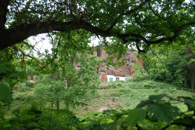
The wood also has historical significance, with evidence of human activity dating back centuries. Remnants of ancient settlements, including burial mounds and earthworks, have been found within Gorse Covert, providing a glimpse into the region's past.

Overall, Gorse Covert is a treasured natural gem in Staffordshire, offering a peaceful retreat and a chance to connect with nature. Whether strolling along its tranquil paths or immersing oneself in its vibrant biodiversity, visitors are sure to be captivated by the beauty and serenity of this enchanting woodland.

If you have any feedback on the listing, please let us know in the comments section below.
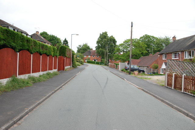
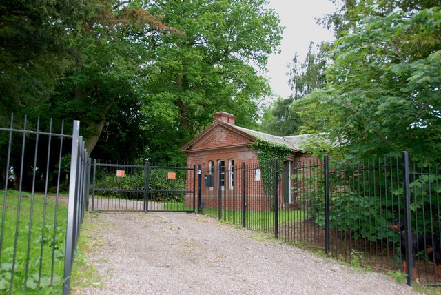
Gorse Covert Images

Images are sourced within 2km of 52.447989/-2.2544543 or Grid Reference SO8283. Thanks to Geograph Open Source API. All images are credited.

Gamekeepers Cottages. These Cottages are on the Enville Road, Compton Road crossroads. Just outside Kinver.
Gamekeepers Cottages.
These Cottages are on the Enville Road, Compton Road crossroads. Just outside Kinver.
House On The Outskirts Of Kinver. This house replaced an old Cottage, around 1990
House On The Outskirts Of Kinver.
This house replaced an old Cottage, around 1990
Crossroads Near Holy Austin Rock, Kinver. These Crossroads are at the Kinver end of Kingsford Lane.
Crossroads Near Holy Austin Rock, Kinver.
These Crossroads are at the Kinver end of Kingsford Lane.
Holy Austin Rock, Kinver. One of the Rock houses has been restored, and is open to the public at certain times.The others have been closed off, as is evident from the Photo, for Health & Safety reasons.
Holy Austin Rock, Kinver.
One of the Rock houses has been restored, and is open to the public at certain times.The others have been closed off, as is evident from the Photo, for Health & Safety reasons.
Entrance To Huntsmans Drive, Kinver
Brindley Hall, Compton, Kinver This house was once owned by James Brindley, the man who played such a big part in the building of the Canals. Up until recent years it was owned by the Enville Estate and fell into disrepair, squatters moved in for a while, then it was sold to Developers, but when they came to renovate it, Bats were found in the roof and work had to stop. If anyone lives in it now I don't know, but with iron fence and Doberman dogs I will leave that to someone else to find out. The farm nextdoor is Union Hall Farm named after The Grand Union Canal.
Brindley Hall, Compton, Kinver
This house was once owned by James Brindley, the man who played such a big part in the building of the Canals. Up until recent years it was owned by the Enville Estate and fell into disrepair, squatters moved in for a while, then it was sold to Developers, but when they came to renovate it, Bats were found in the roof and work had to stop. If anyone lives in it now I don't know, but with iron fence and Doberman dogs I will leave that to someone else to find out. The farm nextdoor is Union Hall Farm named after The Grand Union Canal.
Gate House, Brindley Hall, Compton, Kinver High security, note one of the dogs in right hand corner.
Gate House, Brindley Hall, Compton, Kinver
High security, note one of the dogs in right hand corner.
Staffordshire Way Nearing Kinver
Staffordshire Way On Kinver Edge
View From Kinver Edge
Footpath In Kingsford Forest Park
View From Kingsford Forest Park
Gipsy Lane The lane runs from Kinver Edge towards Cookley Lane.
Gipsy Lane
The lane runs from Kinver Edge towards Cookley Lane.
Kinver Edge Car Park The car and picnic site at the junction of Sandy Lane and Gipsy Lane.
Kinver Edge Car Park
The car and picnic site at the junction of Sandy Lane and Gipsy Lane.
Kinver Ridge Path The footpath runs along the ridge of Kinver Edge.
Kinver Ridge Path
The footpath runs along the ridge of Kinver Edge.
Kinver Lane Junction The view along Compton Road from Meddings Lane, next to Kinver Edge National Trust woodland.
Kinver Lane Junction
The view along Compton Road from Meddings Lane, next to Kinver Edge National Trust woodland.
Kinver Training Camp The view from The Compa of the drive to the local scout hall and the district camp site on Kinver Edge.
Kinver Training Camp
The view from The Compa of the drive to the local scout hall and the district camp site on Kinver Edge.
Kinver Edge Scene The view of the woodland and heath on the National Trust's Kinver Edge near Comber Road.
Kinver Edge Scene
The view of the woodland and heath on the National Trust's Kinver Edge near Comber Road.
Show me another place!

Gorse Covert is located at Grid Ref: SO8283 (Lat: 52.447989, Lng: -2.2544543)

Administrative County: Staffordshire

District: South Staffordshire

Police Authority: Staffordshire

What 3 Words

///walls.observers.verbs. Near Kinvere, Staffordshire

Nearby Locations

Gorse Covert

Related Wikis

Kinver Edge Hillfort

Kinver Edge Hillfort, is a univallate Iron Age hillfort with a massive rampart and outer ditch along the south-west and south-east sides, with natural...

Kinver Edge

Kinver Edge is a high heath and woodland escarpment just west of Kinver, about four miles west of Stourbridge, and four miles north of Kidderminster, and...

Kingsford Country Park

Kingsford Country Park, officially Kingsford Forest Park, was in Worcestershire, England, U.K. and managed by Worcestershire County Council. It adjoined...

Kinver High School

Kinver High School (formerly Edgecliff High School) is a mixed secondary school and sixth form located in Kinver in the English county of Staffordshire...

Kingsford, Worcestershire

Kingsford is a large hamlet in Worcestershire, England. == Location == Kingsford is located one mile (1.6 km) north of the village of Wolverley, Worcestershire...

Kinver

Kinver is a large village in the District of South Staffordshire in Staffordshire, England. It is in the far south-west of the county, at the end of the...

Castle Hill, Wolverley

Castle Hill or Baron Hill is about a mile from the hamlet of Kingsford in the civil parish of Wolverley and Cookley, Worcestershire. In 1912 the site consisted...

Dunsley, Staffordshire

Dunsley is a hamlet in Kinver, Staffordshire, England. The settled part of the hamlet is the part of the village of Kinver, lying east of the River Stour...

Nearby Amenities

Located within 500m of 52.447989,-2.2544543
Crossing: informal
Lat/Long: 52.4478518/-2.2498442
Crossing
Lat/Long: 52.4441263/-2.256267
The data included in this document is from www.openstreetmap.org. The data is made available under ODbL.

Have you been to Gorse Covert?

Leave your review of Gorse Covert below (or comments, questions and feedback).