Black Byre Plantation
Wood, Forest in Northumberland
England
Black Byre Plantation
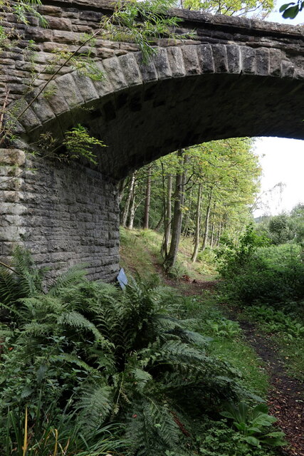
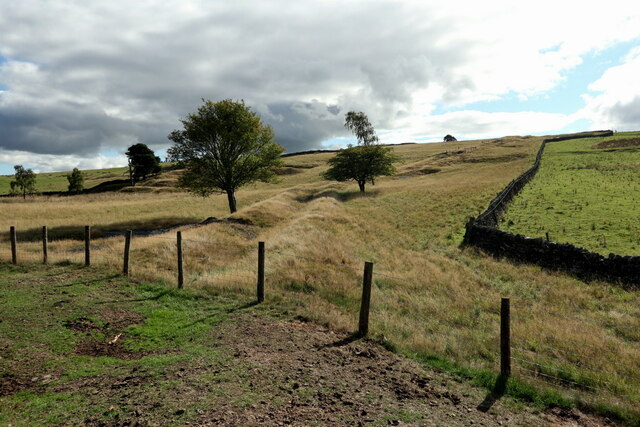
Black Byre Plantation is a sprawling woodland located in the picturesque county of Northumberland, England. Covering an area of approximately 500 acres, it is a haven for nature enthusiasts, hikers, and wildlife lovers alike. The plantation is situated near the charming village of Byreburn, just a short drive from the bustling market town of Hexham.
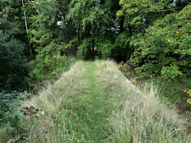
The woodland is predominantly composed of a diverse range of deciduous and coniferous trees, including oak, beech, birch, and spruce, creating a rich tapestry of colors throughout the seasons. The forest floor is adorned with an array of wildflowers, ferns, and mosses, adding to the enchanting atmosphere.
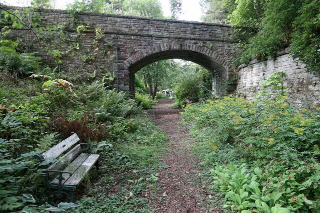
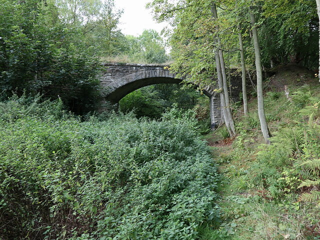
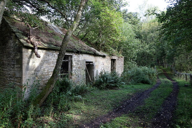
Traversing the plantation are numerous well-marked trails, offering visitors the opportunity to explore its hidden wonders. The paths meander through the dense foliage, providing glimpses of the tranquil Byreburn River that gently flows through the heart of the woodland. Along the way, there are several benches strategically placed, providing weary explorers with a place to rest and soak in the peaceful surroundings.
Black Byre Plantation is a haven for wildlife, with a diverse range of species calling it home. Birdwatchers can spot a variety of feathered friends, including woodpeckers, nuthatches, and owls. The plantation is also home to a thriving population of red squirrels, which can often be seen darting amongst the branches.
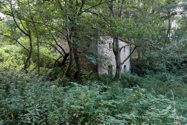
Visitors to Black Byre Plantation can expect to be immersed in a serene and natural environment, where the beauty of the woodland is truly awe-inspiring. Whether it's a leisurely stroll, a challenging hike, or simply a place to reconnect with nature, this woodland gem in Northumberland offers something for everyone.
If you have any feedback on the listing, please let us know in the comments section below.
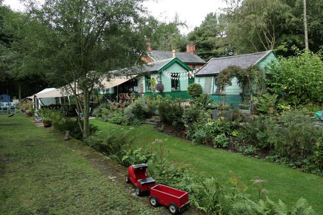
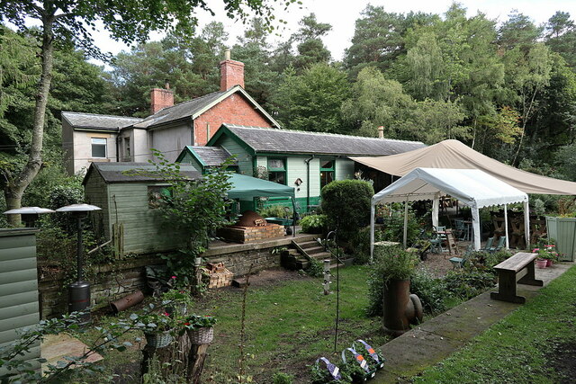
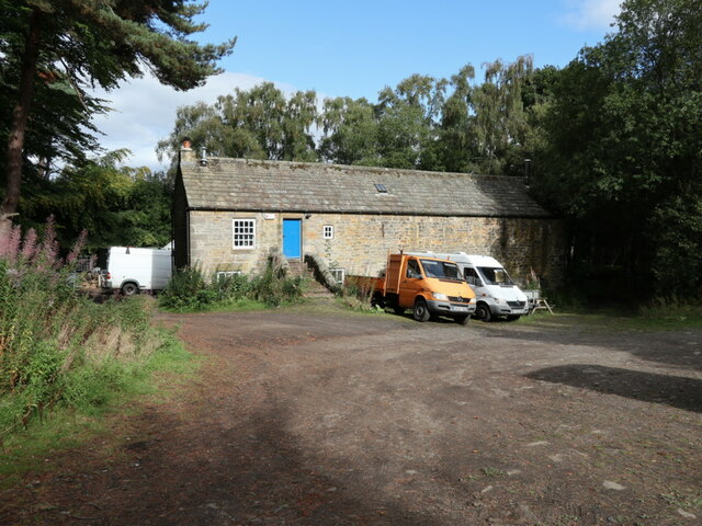
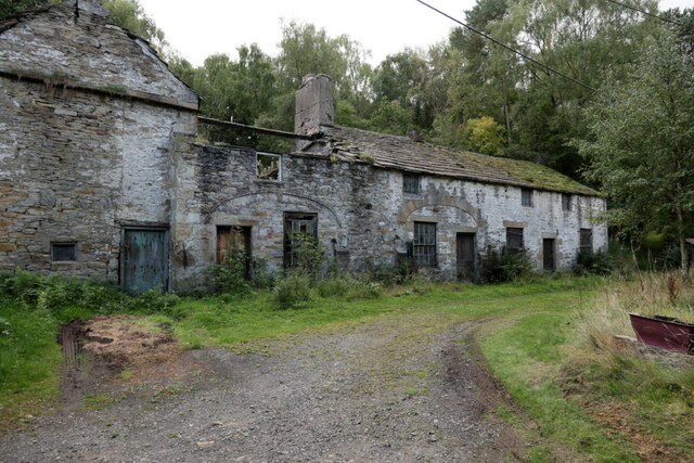
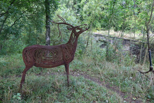
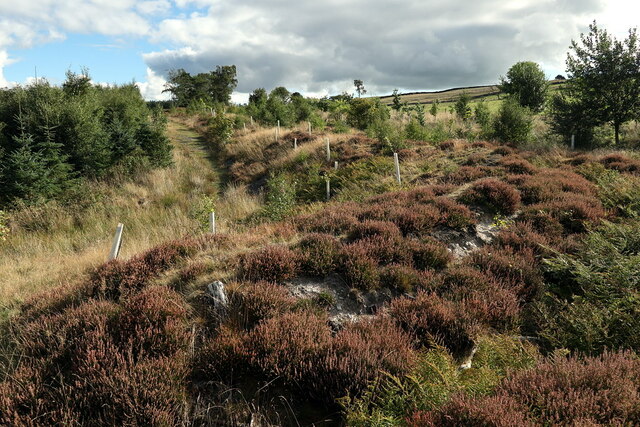
Black Byre Plantation Images
Images are sourced within 2km of 54.958569/-2.2719717 or Grid Reference NY8262. Thanks to Geograph Open Source API. All images are credited.


Black Byre Plantation is located at Grid Ref: NY8262 (Lat: 54.958569, Lng: -2.2719717)
Unitary Authority: Northumberland
Police Authority: Northumbria
What 3 Words
///retailing.storage.swanky. Near Haydon Bridge, Northumberland
Nearby Locations
Related Wikis
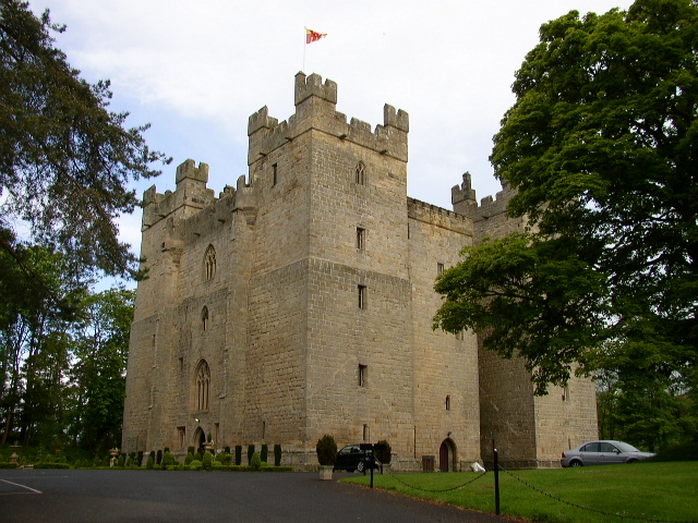
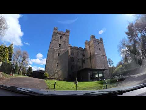
Langley Castle
Langley Castle is a restored medieval tower house, now operated as a hotel, situated in the village of Langley in the valley of the River South Tyne some...
Langley, Northumberland
Langley or Langley-on-Tyne is a small village in Northumberland, England, located to the west of Hexham. The village is on the A686 about 3 miles (5 km...

Langley-on-Tyne railway station
Langley-on-Tyne is a closed stone built railway station situated on a single track branch railway line in Northumberland, England, that ran from Allendale...

Haydon Bridge High School
Haydon Bridge High School is a mixed secondary day school located in Haydon Bridge in the English county of Northumberland. The current headteacher is...

Haydon Bridge
Haydon Bridge is a village in Northumberland, England, which had a population of 2,184 in the 2011 census. Its most distinctive features are the two bridges...

Haydon Bridge railway station
Haydon Bridge is a railway station on the Tyne Valley Line, which runs between Newcastle and Carlisle via Hexham. The station, situated 29 miles 68 chains...

Chesterwood
Chesterwood is a hamlet in Northumberland, in England. It is situated a short distance to the north-west of Haydon Bridge on the South Tyne, west of Hexham...

Allen Banks & Staward Gorge
Allen Banks & Staward Gorge is National Trust property in the English county of Northumberland. It is a Victorian garden in a gorge of the River Allen...
Related Videos
The Pennines (part1)
part 1 of a day out at the Pennines, England, UK... area (one more) of outstanding natural beauty! Like and Subscribe Thanks ...

พาชมโรงแรมหรู สุดคลาสสิค แบบอังกฤษ #Langley castle#Northumberland #Hexham #England
หลังจากแวะเที่ยวคอร์บริจด์ เราก็ขับต่อไปทางตะวันตกของเมืองเฮกซั่ม คืนนี้เราก็จะพักที่โรงแรมลางเล่ย์ ป้าปูก็เลย ถือโอกาสพาชมรอบๆโรงแรมหรู ...

Langley castle interior ชมภายในปราสาทลางเลย์
ส่องปราสาทลางเล่ย์ Langley castle interior จากวีดีโอที่แล้วป้าปูได้เล่าประวัติ และพาชมรอบๆโรงแรม วันนี้ป้าปูจาพาชมในตัวปราสาท ...

A Night In Langley Castle, England - 14th-Century Castle Hotel | Trip101
A real 14th-century medieval castle is now an upscale hotel and restaurant set in the gorgeous Northumberland countryside.
Nearby Amenities
Located within 500m of 54.958569,-2.2719717Have you been to Black Byre Plantation?
Leave your review of Black Byre Plantation below (or comments, questions and feedback).