Sossmoss Wood

Wood, Forest in Cheshire

England

Sossmoss Wood

A34 The A34 is a 200 mile long major trunk road that runs from Salford to Winchester via The Potteries, Birmingham and Oxford. It is divided into two sections <span class="nowrap"><a title="http://www.sabre-roads.org.uk/wiki/index.php?title=A34" rel="nofollow ugc noopener" href="http://www.sabre-roads.org.uk/wiki/index.php?title=A34">Link</a><img style="margin-left:2px;" alt="External link" title="External link - shift click to open in new window" src="https://s1.geograph.org.uk/img/external.png" width="10" height="10"/></span> 
Wikipedia: <span class="nowrap"><a title="http://en.wikipedia.org/wiki/A34_road" rel="nofollow ugc noopener" href="http://en.wikipedia.org/wiki/A34_road">Link</a><img style="margin-left:2px;" alt="External link" title="External link - shift click to open in new window" src="https://s1.geograph.org.uk/img/external.png" width="10" height="10"/></span>
A34 Credit: N Chadwick

Sossmoss Wood is a picturesque woodland located in Cheshire, England. Spanning over a vast area, this enchanting forest is home to a diverse range of flora and fauna, making it a popular destination for nature enthusiasts and wildlife lovers.

The wood is predominantly composed of broadleaf trees, including oak, beech, and birch, which create a dense canopy that provides shade and shelter for a variety of woodland creatures. The forest floor is adorned with a rich carpet of ferns, mosses, and wildflowers, adding to the overall beauty of the landscape.

As visitors explore the wood, they may come across a diverse range of wildlife. Sossmoss Wood is known for its abundant birdlife, with species such as the great spotted woodpecker, tawny owl, and song thrush inhabiting the area. Additionally, small mammals like squirrels, rabbits, and hedgehogs can often be spotted scurrying through the undergrowth.

The wood offers several walking trails, allowing visitors to discover its hidden gems and enjoy peaceful strolls amidst the tranquil surroundings. The paths meander through the forest, leading to secluded clearings and small streams that add to the natural charm of Sossmoss Wood.

For those interested in history, the wood also has some ancient features. Archaeological evidence suggests that the site has been inhabited since the Bronze Age, and remnants of earthworks and burial mounds can still be found, adding a touch of historical significance to the area.

Overall, Sossmoss Wood in Cheshire is a beautiful and biodiverse woodland that offers a peaceful retreat for nature lovers, hikers, and history enthusiasts alike.

If you have any feedback on the listing, please let us know in the comments section below.

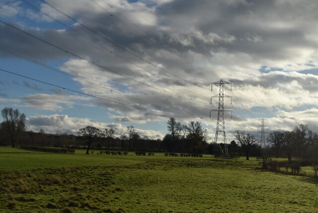
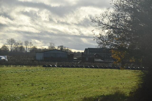
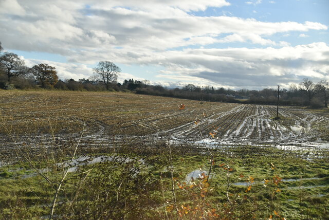
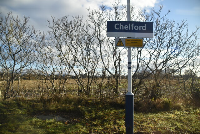
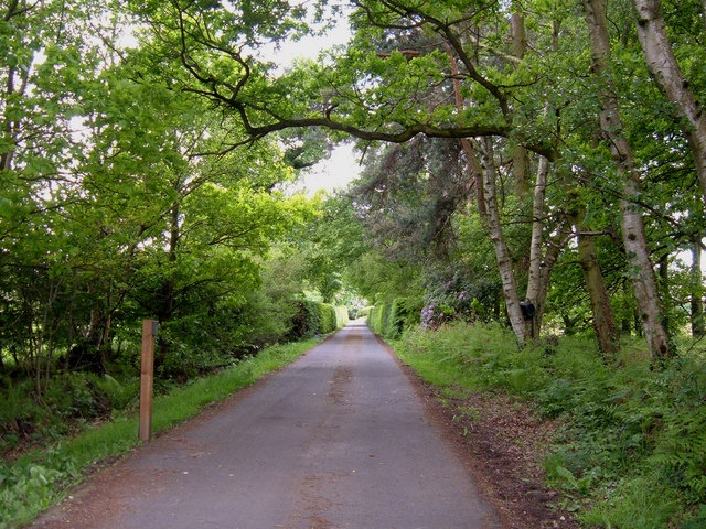
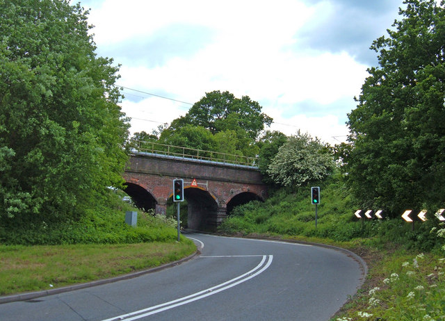
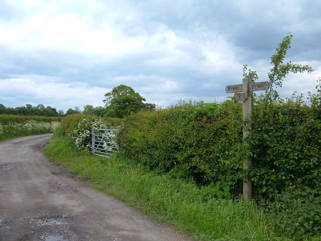
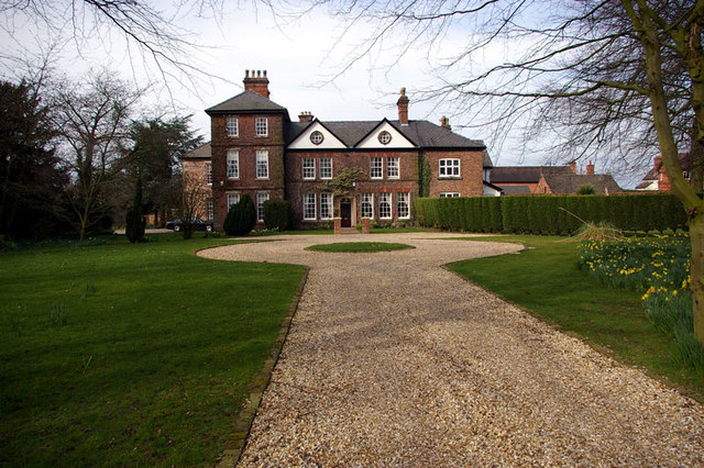
Sossmoss Wood Images

Images are sourced within 2km of 53.283621/-2.2647204 or Grid Reference SJ8276. Thanks to Geograph Open Source API. All images are credited.

A34 The A34 is a 200 mile long major trunk road that runs from Salford to Winchester via The Potteries, Birmingham and Oxford. It is divided into two sections <span class="nowrap"><a title="http://www.sabre-roads.org.uk/wiki/index.php?title=A34" rel="nofollow ugc noopener" href="http://www.sabre-roads.org.uk/wiki/index.php?title=A34">Link</a><img style="margin-left:2px;" alt="External link" title="External link - shift click to open in new window" src="https://s1.geograph.org.uk/img/external.png" width="10" height="10"/></span> 
Wikipedia: <span class="nowrap"><a title="http://en.wikipedia.org/wiki/A34_road" rel="nofollow ugc noopener" href="http://en.wikipedia.org/wiki/A34_road">Link</a><img style="margin-left:2px;" alt="External link" title="External link - shift click to open in new window" src="https://s1.geograph.org.uk/img/external.png" width="10" height="10"/></span>
A34
The A34 is a 200 mile long major trunk road that runs from Salford to Winchester via The Potteries, Birmingham and Oxford. It is divided into two sections LinkExternal link Wikipedia: LinkExternal link
Corbishley
Corbishley
Muddy farmland
Muddy farmland
Chelford station
Chelford station
Chelford Station
Chelford Station
Nether Alderley Mill. (NT) Working Mediaeval Mill.
Nether Alderley Mill. (NT)
Working Mediaeval Mill.
Farm track from Field's Farm Looking NE towards the outskirts of Alderley Edge.
Farm track from Field's Farm
Looking NE towards the outskirts of Alderley Edge.
West Coast Main Line, Alderley Edge View NE from where Welsh Row bridges the railway. Just over one mile south of Alderley Edge station.
West Coast Main Line, Alderley Edge
View NE from where Welsh Row bridges the railway. Just over one mile south of Alderley Edge station.
Entrance to Soss Moss Hall Private entrance protected by much security. View south looking over the gate from Nursery Lane. Soss Moss Hall (in square SJ8275) is shown as an antiquity on the 1/25,000 map.
Entrance to Soss Moss Hall
Private entrance protected by much security. View south looking over the gate from Nursery Lane. Soss Moss Hall (in square SJ8275) is shown as an antiquity on the 1/25,000 map.
Railway crossing the A535 Looking south from where the by-road Carter Lane meets Alderley Road (A535) NE of Chelford.
Railway crossing the A535
Looking south from where the by-road Carter Lane meets Alderley Road (A535) NE of Chelford.
Carter Lane, Chelford Carter Lane is an old by-way linking the A537 with the A535. A very quiet lane little used by vehicular traffic. A 10mph speed limit has been imposed.
Carter Lane, Chelford
Carter Lane is an old by-way linking the A537 with the A535. A very quiet lane little used by vehicular traffic. A 10mph speed limit has been imposed.
To Warford Hall This stile is at the southern end of the David Lewis Epilepsy Centre where a path leads over fields towards Warford Hall, just visible by the trees.
To Warford Hall
This stile is at the southern end of the David Lewis Epilepsy Centre where a path leads over fields towards Warford Hall, just visible by the trees.
The David Lewis Epilepsy Centre The entrance is on Mill Lane , southwest of Alderley Edge. It is by far the largest of several hospitals in the locality. On the 1940s map it is marked as an epileptic colony - and is still marked as such on the current OS Street Atlas for Cheshire.
The David Lewis Epilepsy Centre
The entrance is on Mill Lane , southwest of Alderley Edge. It is by far the largest of several hospitals in the locality. On the 1940s map it is marked as an epileptic colony - and is still marked as such on the current OS Street Atlas for Cheshire.
Ancoats Road, Alderley Edge The junction of Ancoats Road and Warford Lane. Ancoats Road is on the route of the Cheshire Cycleway.
Ancoats Road, Alderley Edge
The junction of Ancoats Road and Warford Lane. Ancoats Road is on the route of the Cheshire Cycleway.
Oswald Cottage, Alderley Edge Situated at the junction of Foden Lane and the A535, Chelford Road.
Oswald Cottage, Alderley Edge
Situated at the junction of Foden Lane and the A535, Chelford Road.
Alderley Edge Cemetery Looking north through the gate house from the A535, Chelford Road.
Alderley Edge Cemetery
Looking north through the gate house from the A535, Chelford Road.
Heawood Hall The Gateway says Heawood House, an adjacent planning notice says Heawood Hall as does the OS mapping.
Heawood Hall
The Gateway says Heawood House, an adjacent planning notice says Heawood Hall as does the OS mapping.
Show me another place!

Sossmoss Wood is located at Grid Ref: SJ8276 (Lat: 53.283621, Lng: -2.2647204)

Unitary Authority: Cheshire East

Police Authority: Cheshire

What 3 Words

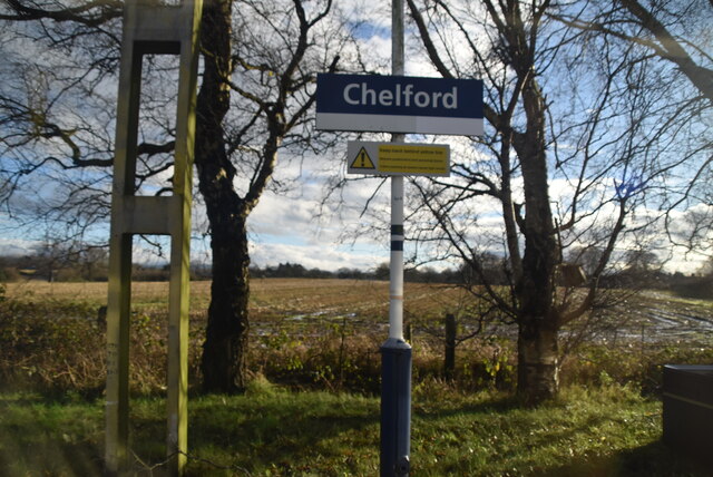
///gold.scorch.sized. Near Chelford, Cheshire

Nearby Locations

Sossmoss Wood

Related Wikis

Soss Moss Hall

Soss Moss Hall is a former manor house in the parish of Nether Alderley, Cheshire, England. It was built in 1583 for Thomas Wyche. The architectural...
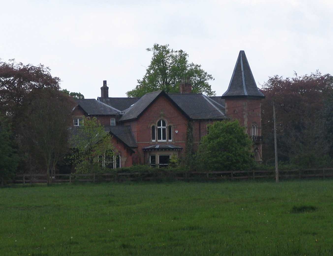
Warford Hall

Warford Hall is a country house in the village of Great Warford, Cheshire, England. It was designed by W. Roberts, and built in 1867 for J. C. Rowley....

Great Warford

Great Warford () is a village and civil parish in the unitary authority of Cheshire East and the ceremonial county of Cheshire, England. A predominantly...

Baptist Chapel, Great Warford

Baptist Chapel, Great Warford is located in Merryman's Lane in the village of Great Warford, Cheshire, England. It is recorded in the National Heritage...

Dean Green

Dean Green is a hamlet which partly makes up the civil parish of Nether Alderley in the unitary authority of Cheshire East and the ceremonial county of...

Gatley Green

Gatley Green is a hamlet in the civil parish of Nether Alderley in the unitary authority of Cheshire East and the ceremonial county of Cheshire, England...

Heawood Hall

Heawood Hall is a country house, now divided into three houses, southwest of the village of Nether Alderley, Cheshire, England. It originated in the late...

Little Warford

Little Warford is a village and civil parish in the unitary authority of Cheshire East and the ceremonial county of Cheshire, England. It has a population...

Nearby Amenities

Located within 500m of 53.283621,-2.2647204
Barrier: stile
Lat/Long: 53.2805031/-2.2685345
Post Box
Collection Times: Mo-Fr 16:45; Sa 09:30
Ref: SK10 134
Royal Cypher: EIIR
Royal Cypher Wikidata: Q33102113
Lat/Long: 53.2810531/-2.266684
Power: pole
Lat/Long: 53.279624/-2.2624218
The data included in this document is from www.openstreetmap.org. The data is made available under ODbL.

Have you been to Sossmoss Wood?

Leave your review of Sossmoss Wood below (or comments, questions and feedback).