Conygre Wood

Wood, Forest in Gloucestershire Cotswold

England

Conygre Wood

Milestone, A4135 Stone post (plate lost) by the A4135, in parish of KINGSCOTE (COTSWOLD District), by the road, on South side of road. TDW iron plate, erected by the Coldharbour District turnpike trust in the 19th century.

Inscription once read: TETBURY / 5 / DURSLEY / & / WOTTON / 5

Grade II listed see <span class="nowrap"><a title="https://historicengland.org.uk/listing/the-list/list-entry/1153577" rel="nofollow ugc noopener" href="https://historicengland.org.uk/listing/the-list/list-entry/1153577">Link</a><img style="margin-left:2px;" alt="External link" title="External link - shift click to open in new window" src="https://s1.geograph.org.uk/img/external.png" width="10" height="10"/></span>

Milestone Society National ID: GL_TBDY05
Milestone, A4135 Credit: Mr Red

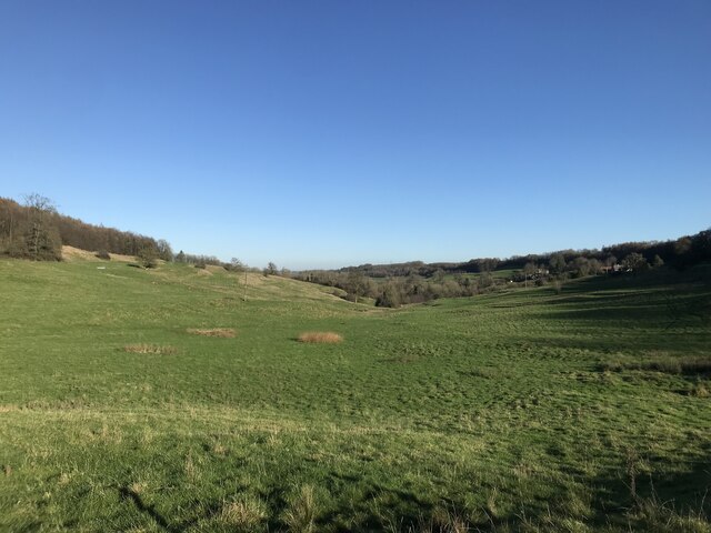
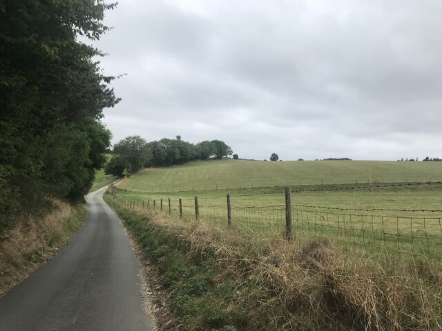
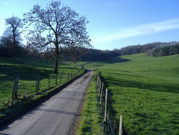
Conygre Wood is a picturesque forest located in Gloucestershire, England. Covering an area of approximately 50 hectares, it is a popular destination for nature enthusiasts and outdoor lovers. The wood is situated near the village of Tormarton and is easily accessible from the nearby cities of Bristol and Bath.

The wood is predominantly composed of broadleaf trees, including oak, beech, and ash, which create a dense and vibrant canopy during the summer months. The forest floor is covered in a rich carpet of wildflowers and ferns, providing a haven for a variety of wildlife.

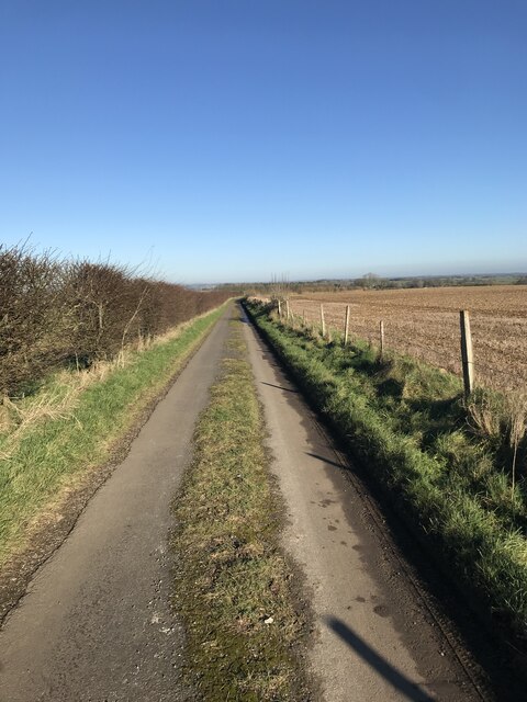
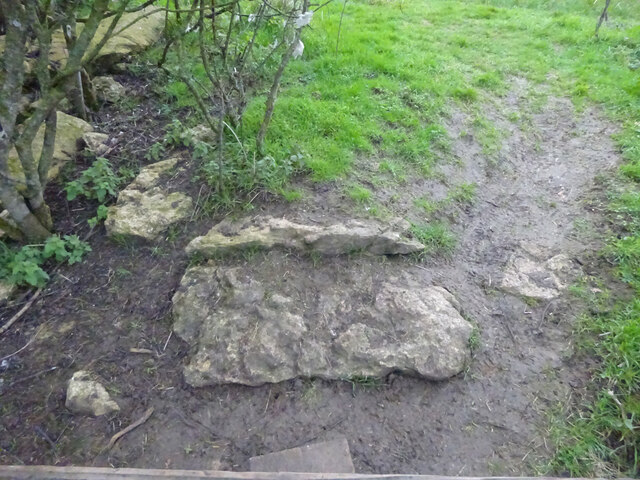
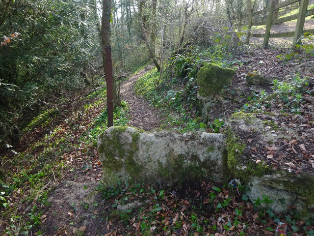
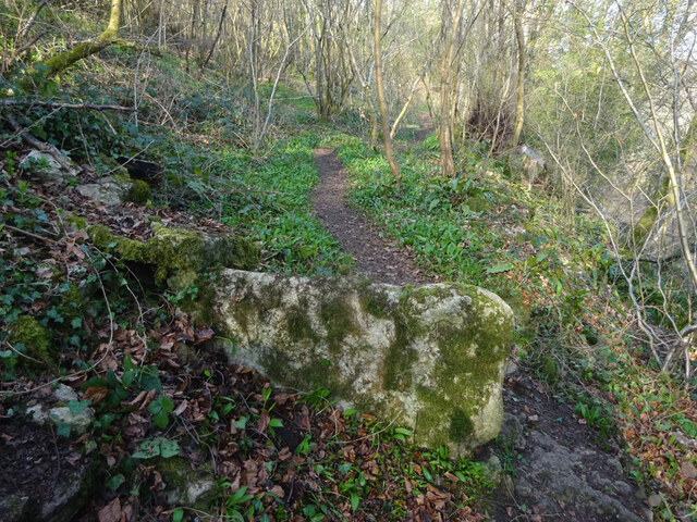
Conygre Wood offers numerous walking trails, ranging from short and leisurely strolls to longer, more challenging hikes. These paths wind through the woodland, offering visitors the chance to immerse themselves in the natural beauty of the area. Along the way, there are several benches and picnic spots where visitors can take a break and enjoy the surroundings.

The wood is also home to a diverse range of wildlife. Birdwatchers can spot species such as woodpeckers, jays, and nuthatches, while lucky visitors may catch a glimpse of deer or foxes. The forest is also known for its population of butterflies and other insects, making it a haven for nature photographers and insect enthusiasts.

Overall, Conygre Wood is a tranquil and enchanting destination, offering visitors the opportunity to escape the hustle and bustle of everyday life and reconnect with nature. Whether it's a leisurely walk, a family picnic, or wildlife spotting, the wood has something to offer for everyone.

If you have any feedback on the listing, please let us know in the comments section below.
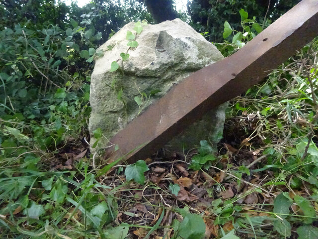
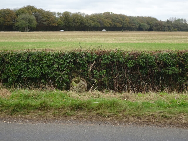
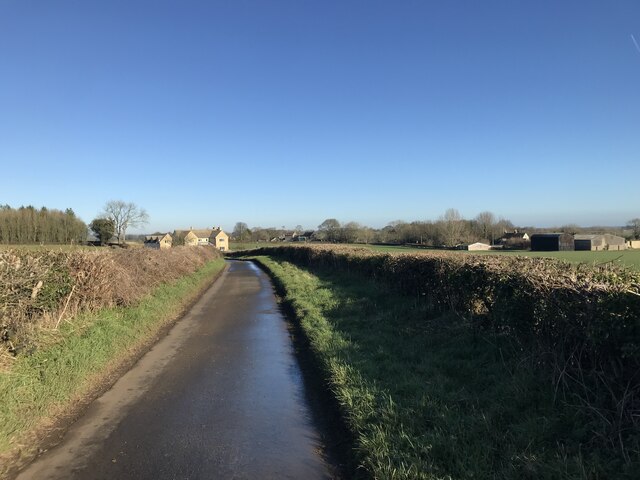
Conygre Wood Images

Images are sourced within 2km of 51.667331/-2.2554893 or Grid Reference ST8296. Thanks to Geograph Open Source API. All images are credited.

Milestone, A4135 Stone post (plate lost) by the A4135, in parish of KINGSCOTE (COTSWOLD District), by the road, on South side of road. TDW iron plate, erected by the Coldharbour District turnpike trust in the 19th century.

Inscription once read: TETBURY / 5 / DURSLEY / & / WOTTON / 5

Grade II listed see <span class="nowrap"><a title="https://historicengland.org.uk/listing/the-list/list-entry/1153577" rel="nofollow ugc noopener" href="https://historicengland.org.uk/listing/the-list/list-entry/1153577">Link</a><img style="margin-left:2px;" alt="External link" title="External link - shift click to open in new window" src="https://s1.geograph.org.uk/img/external.png" width="10" height="10"/></span>

Milestone Society National ID: GL_TBDY05
Milestone, A4135
Stone post (plate lost) by the A4135, in parish of KINGSCOTE (COTSWOLD District), by the road, on South side of road. TDW iron plate, erected by the Coldharbour District turnpike trust in the 19th century. Inscription once read: TETBURY / 5 / DURSLEY / & / WOTTON / 5 Grade II listed see LinkExternal link Milestone Society National ID: GL_TBDY05
Milestone, Newington Bagpath In the parish of Kingscote on an unclassified road between the A4135 and A46. On the NE verge against the wall. Plate missing. MS erected by the Coldharbour District turnpike trust in the 19th century. 
Map describes mileage as "Gloucester 17 / Bath 21".
British-History.ac.uk has more information on the area see <span class="nowrap"><a title="https://www.british-history.ac.uk/vch/glos/vol11/pp283-285?" rel="nofollow ugc noopener" href="https://www.british-history.ac.uk/vch/glos/vol11/pp283-285?">Link</a><img style="margin-left:2px;" alt="External link" title="External link - shift click to open in new window" src="https://s1.geograph.org.uk/img/external.png" width="10" height="10"/></span>

Inscription (probably was): Bath XXI / Glouc XVII

Milestone Society National ID: GL_GLBAA17
Milestone, Newington Bagpath
In the parish of Kingscote on an unclassified road between the A4135 and A46. On the NE verge against the wall. Plate missing. MS erected by the Coldharbour District turnpike trust in the 19th century. Map describes mileage as "Gloucester 17 / Bath 21". British-History.ac.uk has more information on the area see LinkExternal link Inscription (probably was): Bath XXI / Glouc XVII Milestone Society National ID: GL_GLBAA17
Valley at Kingscote
Valley at Kingscote
Hazlecote Lane
Hazlecote Lane
Grass in the lane
Grass in the lane
Stone Stile, Kingscote From field to un-named cul-de-sac on Gloucestershire footpath NKS6 looking NW. The view SE is <a href="https://www.geograph.org.uk/photo/7086574">ST8196 : Stone Stile, Kingscote</a>.
Stone Stile, Kingscote
From field to un-named cul-de-sac on Gloucestershire footpath NKS6 looking NW. The view SE is ST8196 : Stone Stile, Kingscote.
Stone Stile, Kingscote From field to un-named cul-de-sac on Gloucestershire footpath NKS6 looking SE. The view NW from the road is <a href="https://www.geograph.org.uk/photo/7086571">ST8196 : Stone Stile, Kingscote</a>.
Stone Stile, Kingscote
From field to un-named cul-de-sac on Gloucestershire footpath NKS6 looking SE. The view NW from the road is ST8196 : Stone Stile, Kingscote.
Stone Stile, Kingscote This may be decorative, a private entrance or left from when the War Memorial (RHS) was erected and the footpath moved to the churchyard gate. It is certainly near Gloucestershire footpath NKS18.
Stone Stile, Kingscote
This may be decorative, a private entrance or left from when the War Memorial (RHS) was erected and the footpath moved to the churchyard gate. It is certainly near Gloucestershire footpath NKS18.
Stone Stile, Kingscote A "fallen idle". The remnant of a vertical slab stile re-purposed as a step on Gloucestershire footpath NKS3, near Kingscote Barn and Binley Farm Cottages looking NE. the view SW is <a href="https://www.geograph.org.uk/photo/7309092">ST8197 : Stone Stile, Kingscote</a>.
Stone Stile, Kingscote
A "fallen idle". The remnant of a vertical slab stile re-purposed as a step on Gloucestershire footpath NKS3, near Kingscote Barn and Binley Farm Cottages looking NE. the view SW is ST8197 : Stone Stile, Kingscote.
Stone Stile, Kingscote A "fallen idle". Remnant of a stone stile at the end of a former wall on Gloucestershire footpaths NKS3 & NKS5. Between Kingscote & Kingscote Barn looking South, the view North is <a href="https://www.geograph.org.uk/photo/7309083">ST8196 : Stone Stile, Kingscote</a>.
Stone Stile, Kingscote
A "fallen idle". Remnant of a stone stile at the end of a former wall on Gloucestershire footpaths NKS3 & NKS5. Between Kingscote & Kingscote Barn looking South, the view North is ST8196 : Stone Stile, Kingscote.
Stone Stile, Horsley Below Priory Road on Gloucestershire footpath MHO50 looking West. The view looking East is <a href="https://www.geograph.org.uk/photo/7127046">ST8397 : Stone Stile, Horsley</a>.
Stone Stile, Horsley
Below Priory Road on Gloucestershire footpath MHO50 looking West. The view looking East is ST8397 : Stone Stile, Horsley.
Stone Stile, Horsley Below Priory Road on Gloucestershire footpath MHO50 looking East. The view looking West is <a href="https://www.geograph.org.uk/photo/7127044">ST8397 : Stone Stile, Horsley</a>.
Stone Stile, Horsley
Below Priory Road on Gloucestershire footpath MHO50 looking East. The view looking West is ST8397 : Stone Stile, Horsley.
Stone Stile, Newington Bagpath GS2069 Near St Bartholomew's Church on Gloucestershire footpath NKS39.
Stone Stile, Newington Bagpath GS2069
Near St Bartholomew's Church on Gloucestershire footpath NKS39.
Country Lane
Country Lane
Stone Stile, Kingscote A "fallen idle". Remnant of a stone stile at the end of a former wall on Gloucestershire footpaths NKS3 & NKS5. Between Kingscote & Kingscote Barn looking North, the view South is <a href="https://www.geograph.org.uk/photo/7086600">ST8196 : Stone Stile, Kingscote</a>.
Stone Stile, Kingscote
A "fallen idle". Remnant of a stone stile at the end of a former wall on Gloucestershire footpaths NKS3 & NKS5. Between Kingscote & Kingscote Barn looking North, the view South is ST8196 : Stone Stile, Kingscote.
Stone Stile, Kingscote A "fallen idle". The remnant of a vertical slab stile re-purposed as a step on Gloucestershire footpath NKS3, near Kingscote Barn and Binley Farm Cottages looking SW. The view NE is <a href="https://www.geograph.org.uk/photo/7086588">ST8197 : Stone Stile, Kingscote</a>.
Stone Stile, Kingscote
A "fallen idle". The remnant of a vertical slab stile re-purposed as a step on Gloucestershire footpath NKS3, near Kingscote Barn and Binley Farm Cottages looking SW. The view NE is ST8197 : Stone Stile, Kingscote.
A46 heading north Towards Stroud.
A46 heading north
Towards Stroud.
A46 heading north A layby is up on the left, using the old road alignment.
A46 heading north
A layby is up on the left, using the old road alignment.
Show me another place!

Conygre Wood is located at Grid Ref: ST8296 (Lat: 51.667331, Lng: -2.2554893)

Administrative County: Gloucestershire

District: Cotswold

Police Authority: Gloucestershire

What 3 Words

///dandelions.clinking.study. Near Nailsworth, Gloucestershire

Related Wikis

Kingscote, Gloucestershire

Kingscote is a village and civil parish in the Cotswold district of Gloucestershire, England, set on the uplands near the south western edge of the Cotswold...

Kingscote and Horsley Woods

Kingscote and Horsley Woods (grid reference ST831971) is a 43.79-hectare (108.2-acre) biological Site of Special Scientific Interest in Gloucestershire...

Kingscote Park, Gloucestershire

Kingscote Park (formerly Kingscote Cottage) is a Grade II listed house and country estate in Kingscote, near Tetbury, Gloucestershire, England. The original...

A4135 road

The A4135 road is a road in Gloucestershire, England, connecting the town of Tetbury with the M5 motorway and the A38 road to the west, passing through...

Horsley Priory

Horsley Priory was a medieval, monastic house in Gloucestershire, England. Goda owned an estate at Horsley, in 1066. It was granted to Troarn Abbey by...

Horsley, Gloucestershire

Horsley is a village and civil parish about one and a half miles south-west of the small Cotswold market town of Nailsworth. The origins of the name Horsley...

Bagpath

Bagpath is a hamlet in Gloucestershire, England, in the Ozleworth valley south of the village of Kingscote and forming part of Kingscote civil parish....

Calcot Manor

Calcot Manor is a historic building in Calcot, three and a half miles west of Tetbury on A 4135 in Gloucestershire, England, near the junction of roads...

Nearby Amenities

Located within 500m of 51.667331,-2.2554893
Ford: yes
Lat/Long: 51.6642728/-2.2532947
Barrier: stile
Bicycle: no
Foot: yes
Material: wood
Stile: stepover
Lat/Long: 51.670497/-2.2524193
Power: pole
Lat/Long: 51.6648239/-2.2499465
Power: pole
Lat/Long: 51.6648711/-2.2510455
Power: pole
Lat/Long: 51.6649512/-2.2525372
Power: pole
Lat/Long: 51.6650643/-2.2547563
Power: pole
Lat/Long: 51.6651367/-2.2562003
Power: pole
Lat/Long: 51.6652024/-2.2576502
Power: pole
Lat/Long: 51.6652906/-2.2592609
Power: pole
Lat/Long: 51.6655942/-2.2600253
Power: pole
Lat/Long: 51.6661024/-2.2612658
Power: pole
Lat/Long: 51.6666082/-2.2625586
The data included in this document is from www.openstreetmap.org. The data is made available under ODbL.

Have you been to Conygre Wood?

Leave your review of Conygre Wood below (or comments, questions and feedback).