Fountain Wood

Wood, Forest in Yorkshire Ribble Valley

England

Fountain Wood

Ordnance Survey Cut Mark This mark can be found on the parapet wall of Paythorne Bridge
The benchmark has a recorded height of 104.7627 metres above sea level.
For more detail see : <span class="nowrap"><a title="https://www.bench-marks.org.uk/bm45450" rel="nofollow ugc noopener" href="https://www.bench-marks.org.uk/bm45450">Link</a><img style="margin-left:2px;" alt="External link" title="External link - shift click to open in new window" src="https://s1.geograph.org.uk/img/external.png" width="10" height="10"/></span>
Ordnance Survey Cut Mark Credit: Peter Wood

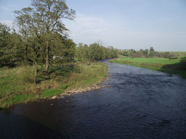
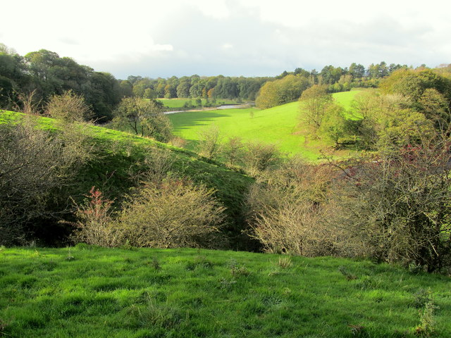
Fountain Wood is a picturesque forest located in the county of Yorkshire, England. Covering an area of approximately 100 acres, it is renowned for its natural beauty and diverse ecosystem. The wood is situated near the small village of Fountain, nestled within the stunning landscape of the Yorkshire Dales National Park.

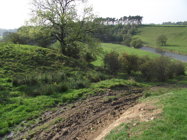
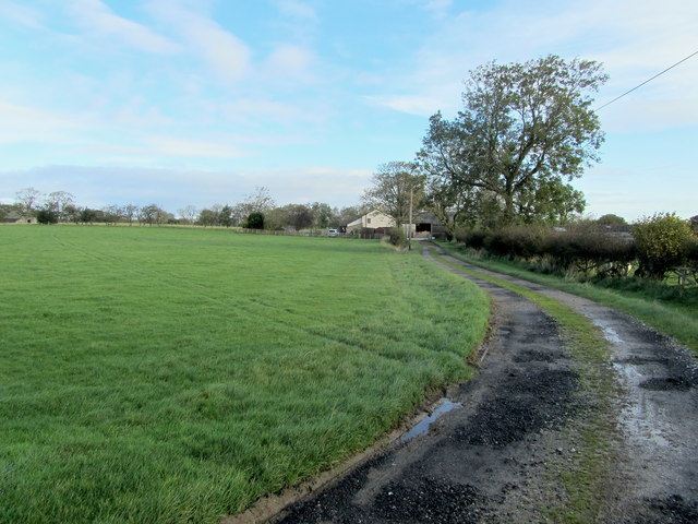
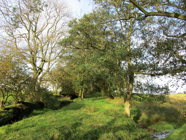
Fountain Wood is characterized by its dense canopy of various tree species, including oak, beech, and birch. These majestic trees provide a habitat for a wide range of wildlife, such as squirrels, deer, and various bird species. The forest floor is adorned with a rich carpet of ferns, mosses, and wildflowers, creating a vibrant and enchanting atmosphere.

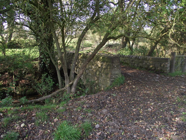
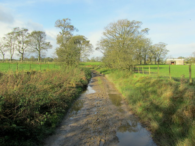
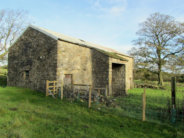
The wood is crisscrossed by a network of well-maintained footpaths, allowing visitors to explore its natural wonders. These paths lead to secluded glades, tranquil ponds, and babbling brooks, providing ample opportunities for peaceful contemplation and wildlife observation. Additionally, there are a number of picnic areas and benches strategically placed throughout the wood, offering visitors a chance to relax and enjoy the serene surroundings.

Fountain Wood is not only a haven for nature enthusiasts, but also a popular destination for outdoor activities. It offers numerous opportunities for hiking, birdwatching, and photography. The forest is particularly striking during the autumn months when the foliage transforms into a kaleidoscope of vibrant colors.

Overall, Fountain Wood is a treasured natural gem in Yorkshire, offering a serene escape from the hustle and bustle of everyday life. Its picturesque landscapes, diverse wildlife, and tranquil atmosphere make it a must-visit destination for nature lovers and outdoor enthusiasts alike.

If you have any feedback on the listing, please let us know in the comments section below.

Fountain Wood Images

Images are sourced within 2km of 53.943633/-2.2709422 or Grid Reference SD8249. Thanks to Geograph Open Source API. All images are credited.

Ordnance Survey Cut Mark This mark can be found on the parapet wall of Paythorne Bridge
The benchmark has a recorded height of 104.7627 metres above sea level.
For more detail see : <span class="nowrap"><a title="https://www.bench-marks.org.uk/bm45450" rel="nofollow ugc noopener" href="https://www.bench-marks.org.uk/bm45450">Link</a><img style="margin-left:2px;" alt="External link" title="External link - shift click to open in new window" src="https://s1.geograph.org.uk/img/external.png" width="10" height="10"/></span>
Ordnance Survey Cut Mark
This mark can be found on the parapet wall of Paythorne Bridge The benchmark has a recorded height of 104.7627 metres above sea level. For more detail see : LinkExternal link
Ordnance Survey Cut Mark This mark can be found on the wall of St Mary's Church, Gisburn
The benchmark has a recorded height of 138.3304 metres above sea level.
For more detail see : <span class="nowrap"><a title="https://www.bench-marks.org.uk/bm36317" rel="nofollow ugc noopener" href="https://www.bench-marks.org.uk/bm36317">Link</a><img style="margin-left:2px;" alt="External link" title="External link - shift click to open in new window" src="https://s1.geograph.org.uk/img/external.png" width="10" height="10"/></span>
Ordnance Survey Cut Mark
This mark can be found on the wall of St Mary's Church, Gisburn The benchmark has a recorded height of 138.3304 metres above sea level. For more detail see : LinkExternal link
Delicious Deli and Café - Gisburn
Fields East of Gisburn
West Portal Gisburne Park  Railway Tunnel A cut and cover short tunnel required by the landowner and decorated appropriately. The turrets of the east portal can be seen as well across this part of Gisburne Park
West Portal Gisburne Park Railway Tunnel
A cut and cover short tunnel required by the landowner and decorated appropriately. The turrets of the east portal can be seen as well across this part of Gisburne Park
Gisburne Park Railway Tunnel Turrets A curious view of mock castle turrets in parkland, disguising a railway line
Gisburne Park Railway Tunnel Turrets
A curious view of mock castle turrets in parkland, disguising a railway line
Old milestone This milestone which would have stood at the southeast corner of the A59/B6265 Bracewll Lane is now built into steps at the back of the White Bull PH in Gisburn.  This face is engraved with a hand pointing left/To/SKipton/9 Miles/hand pointing right/Gisbor(n)/2 Ms.  The other visible face is engraved with a hand pointing left To/Settle 11 ms/hand to right/Colne 7 ms.
Old milestone
This milestone which would have stood at the southeast corner of the A59/B6265 Bracewll Lane is now built into steps at the back of the White Bull PH in Gisburn. This face is engraved with a hand pointing left/To/SKipton/9 Miles/hand pointing right/Gisbor(n)/2 Ms. The other visible face is engraved with a hand pointing left To/Settle 11 ms/hand to right/Colne 7 ms.
Gisburne Park Entrance Lodges At the south entrance at the end of Park Road from the centre of Gisburn
Gisburne Park Entrance Lodges
At the south entrance at the end of Park Road from the centre of Gisburn
Bridge over a stream near Paythorne Bridge The bridge is part of a public footpath. The stream is only metres away from its confluence with the River Ribble
Bridge over a stream near Paythorne Bridge
The bridge is part of a public footpath. The stream is only metres away from its confluence with the River Ribble
River Ribble at Paythorne Bridge Looking north east.
River Ribble at Paythorne Bridge
Looking north east.
Looking down to the Ribble From the Ribble Way. Heavy vehicles have recently churned up the ground.
Looking down to the Ribble
From the Ribble Way. Heavy vehicles have recently churned up the ground.
Access Lane leading to Loftrans Part of Loftrans Lane, giving access to the photographed dwelling
Access Lane leading to Loftrans
Part of Loftrans Lane, giving access to the photographed dwelling
Muddy Track near Paythorne Recent heavy rain has rendered this track to a rather sloppy state
Muddy Track near Paythorne
Recent heavy rain has rendered this track to a rather sloppy state
Bank Close Laithe Stone barn near Paythorne
Bank Close Laithe
Stone barn near Paythorne
Entering Paythorne Climbing up towards Paythorne from the River Ribble
Entering Paythorne
Climbing up towards Paythorne from the River Ribble
Loftrans Lane The lane seems to be falling into disuse, covered in vegetation and tree growth - access to Loftrans is now by another route.
Loftrans Lane
The lane seems to be falling into disuse, covered in vegetation and tree growth - access to Loftrans is now by another route.
A  View over the Ribble Valley The Ribble south of Paythorne seen from near Castle Haugh
A View over the Ribble Valley
The Ribble south of Paythorne seen from near Castle Haugh
Paythorne Bridge Closed to traffic for road resurfacing on the day of my walk but they were happy to let pedestrians through
Paythorne Bridge
Closed to traffic for road resurfacing on the day of my walk but they were happy to let pedestrians through
Show me another place!

Fountain Wood is located at Grid Ref: SD8249 (Lat: 53.943633, Lng: -2.2709422)

Division: West Riding

Administrative County: Lancashire

District: Ribble Valley

Police Authority: Lancashire

What 3 Words

///recur.pages.montage. Near Barnoldswick, Lancashire

Related Wikis

Stock Beck

Stock Beck is a minor river in the West Craven area of Pendle, Lancashire (formerly in Yorkshire). It is 8.25 miles (13.27 km) long and has a catchment...

Gisburne Park

Gisburne Park is an 18th-century country house and associated park in Gisburn, Lancashire, England, in the Ribble Valley some 6 miles (10 km) north-east...

Gisburn railway station

Gisburn railway station served the small village of Gisburn, which is now in Lancashire, England, but was in the West Riding of Yorkshire at the time....

Gisburn Tunnel

Gisburn Tunnel is a short railway tunnel on the Ribble Valley line in Lancashire, England. The tunnel is 157 yards (144 m) long, just to the east of Gisburn...

Gisburn

Gisburn (formerly Gisburne) is a village and civil parish within the Ribble Valley borough of Lancashire, England. Historically within the West Riding...
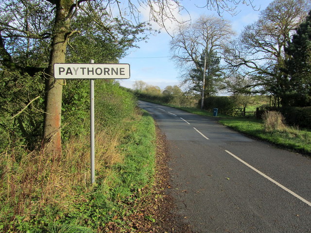
Paythorne

Paythorne is a small village and civil parish in Ribble Valley, Lancashire, England. It is situated alongside the River Ribble, north-east of Clitheroe...

Newsholme railway station

Newsholme railway station was a railway station that served the small village of Newsholme in Lancashire. It was built by the Lancashire and Yorkshire...

Newsholme, Lancashire

Newsholme is a small village and civil parish in the Ribble Valley, Lancashire, England, but lies within the historic West Riding of Yorkshire. According...

Related Videos

Lancashire Footnotes Shorts Episode Ninety-two: Gisburn

There's not a lot to Gisburn - just one extremely busy road with some very old houses and an equally ancient church on it.

Paythorne payphone

The payphone in the Lancashire village of Paythorne.

Nearby Amenities

Located within 500m of 53.943633,-2.2709422
Restaurant
Hindolinis
Lat/Long: 53.9392047/-2.2712643
The data included in this document is from www.openstreetmap.org. The data is made available under ODbL.

Have you been to Fountain Wood?

Leave your review of Fountain Wood below (or comments, questions and feedback).