Archers Wood

Wood, Forest in Northumberland

England

Archers Wood

Milecastle 35 on Hadrian's Wall at Sewingshields Hadrian's wall or 'Vallum Aelium' is the remains of a large Roman fortification. The wall extended west from Segedunum at Wallsend on the River Tyne to the shore of the Solway Firth, ending a short but unknown distance west of the village of Bowness-on-Solway. Construction probably started sometime in AD 122 and was largely completed within six years.

The remains were made a UNESCO World Heritage Site in 1987.
Milecastle 35 on Hadrian's Wall at Sewingshields Credit: Sandy Gerrard

Located in the county of Northumberland, Archers Wood is a captivating forest that encompasses an area of approximately 300 hectares. This enchanting woodland is nestled within the picturesque Northumberland National Park, renowned for its natural beauty and diverse wildlife. Archers Wood is positioned near the small village of Alwinton, providing visitors with easy access and a tranquil retreat from the hustle and bustle of everyday life.

The forest boasts a mixture of deciduous and coniferous trees, creating a rich and varied ecosystem. Towering ancient oaks, beeches, and birches stand proudly alongside majestic Scots pines, offering a harmonious blend of colors and textures throughout the seasons. The forest floor is adorned with a tapestry of vibrant wildflowers, including bluebells and wood anemones, adding to the area's allure.

Archers Wood is a haven for wildlife enthusiasts, providing a sanctuary for various species. Birdwatchers can delight in spotting rare and indigenous birds such as red kites, buzzards, and woodpeckers, while keen-eyed visitors may catch a glimpse of roe deer or red squirrels among the trees. The forest also teems with smaller mammals, including voles, shrews, and bats.

Visitors to Archers Wood can explore a network of well-maintained walking trails, allowing them to immerse themselves in the natural splendor of the forest. These paths cater to all abilities, with options for leisurely strolls or more challenging hikes. Along the way, informative signposts provide interesting facts about the woodland's history, flora, and fauna.

Archers Wood offers a serene and idyllic setting for those seeking a peaceful escape into nature. Its captivating beauty and abundant wildlife make it a must-visit destination for nature lovers and outdoor enthusiasts alike.

If you have any feedback on the listing, please let us know in the comments section below.
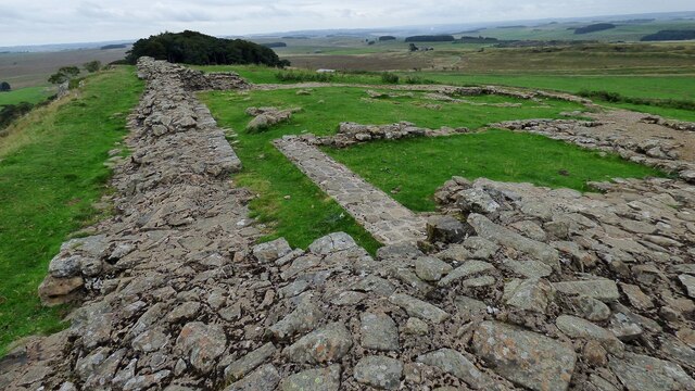
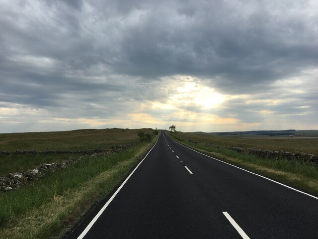
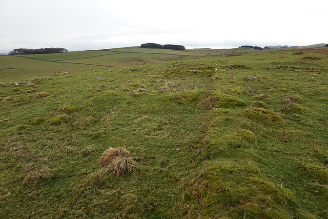
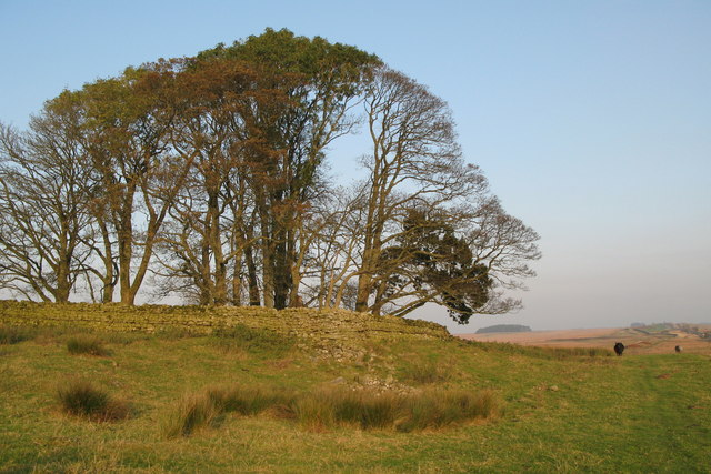
Archers Wood Images

Images are sourced within 2km of 55.027049/-2.2818995 or Grid Reference NY8270. Thanks to Geograph Open Source API. All images are credited.

Milecastle 35 on Hadrian's Wall at Sewingshields Hadrian's wall or 'Vallum Aelium' is the remains of a large Roman fortification. The wall extended west from Segedunum at Wallsend on the River Tyne to the shore of the Solway Firth, ending a short but unknown distance west of the village of Bowness-on-Solway. Construction probably started sometime in AD 122 and was largely completed within six years.

The remains were made a UNESCO World Heritage Site in 1987.
Milecastle 35 on Hadrian's Wall at Sewingshields
Hadrian's wall or 'Vallum Aelium' is the remains of a large Roman fortification. The wall extended west from Segedunum at Wallsend on the River Tyne to the shore of the Solway Firth, ending a short but unknown distance west of the village of Bowness-on-Solway. Construction probably started sometime in AD 122 and was largely completed within six years. The remains were made a UNESCO World Heritage Site in 1987.
Turret 35a on Hadrian's Wall at Sewingshields Hadrian's wall or 'Vallum Aelium' is the remains of a large Roman fortification. The wall extended west from Segedunum at Wallsend on the River Tyne to the shore of the Solway Firth, ending a short but unknown distance west of the village of Bowness-on-Solway. Construction probably started sometime in AD 122 and was largely completed within six years.

The remains were made a UNESCO World Heritage Site in 1987.
Turret 35a on Hadrian's Wall at Sewingshields
Hadrian's wall or 'Vallum Aelium' is the remains of a large Roman fortification. The wall extended west from Segedunum at Wallsend on the River Tyne to the shore of the Solway Firth, ending a short but unknown distance west of the village of Bowness-on-Solway. Construction probably started sometime in AD 122 and was largely completed within six years. The remains were made a UNESCO World Heritage Site in 1987.
Turret 34a at Grindon on Hadrian's Wall
Turret 33b on Hadrian's Wall Hadrian's wall or 'Vallum Aelium' is the remains of a large Roman fortification. The wall extended west from Segedunum at Wallsend on the River Tyne to the shore of the Solway Firth, ending a short but unknown distance west of the village of Bowness-on-Solway. Construction probably started sometime in AD 122 and was largely completed within six years.

The remains were made a UNESCO World Heritage Site in 1987.
Turret 33b on Hadrian's Wall
Hadrian's wall or 'Vallum Aelium' is the remains of a large Roman fortification. The wall extended west from Segedunum at Wallsend on the River Tyne to the shore of the Solway Firth, ending a short but unknown distance west of the village of Bowness-on-Solway. Construction probably started sometime in AD 122 and was largely completed within six years. The remains were made a UNESCO World Heritage Site in 1987.
Milecastle 33 on Hadrian's Wall Hadrian's wall or 'Vallum Aelium' is the remains of a large Roman fortification. The wall extended west from Segedunum at Wallsend on the River Tyne to the shore of the Solway Firth, ending a short but unknown distance west of the village of Bowness-on-Solway. Construction probably started sometime in AD 122 and was largely completed within six years.

The remains were made a UNESCO World Heritage Site in 1987.
Milecastle 33 on Hadrian's Wall
Hadrian's wall or 'Vallum Aelium' is the remains of a large Roman fortification. The wall extended west from Segedunum at Wallsend on the River Tyne to the shore of the Solway Firth, ending a short but unknown distance west of the village of Bowness-on-Solway. Construction probably started sometime in AD 122 and was largely completed within six years. The remains were made a UNESCO World Heritage Site in 1987.
Excavation of stack stand below Sewingshields Crags Stack stands are common on these upland pastures and often located on aerial photographs. Although they are not too old (post-Medieval), their agricultural function is often unknown. Here, north of the Sewingshields Crags whin-sill, they were probably created for the stacking of peats left out to dry before removal to nearby farm houses as a fuel. Two nearby stands were excavated in June 2022 and there are another nine nearby.
Excavation of stack stand below Sewingshields Crags
Stack stands are common on these upland pastures and often located on aerial photographs. Although they are not too old (post-Medieval), their agricultural function is often unknown. Here, north of the Sewingshields Crags whin-sill, they were probably created for the stacking of peats left out to dry before removal to nearby farm houses as a fuel. Two nearby stands were excavated in June 2022 and there are another nine nearby.
Peat bog below Sewingshields Crags
B6318 heading west
B6318 heading west
Ruined farm building, Shield on The Wall
B6318 heading west
B6318 heading west
Remains of farmstead, Howden Hill Although no longer shown on modern maps, the first edition OS (1866) shows 'Remains of farmstead' here. The remains of a 5-celled long-house with adjoining yards and enclosures have been reduced over time to just low turf walls. The farmstead occupies a site with extensive views and is surrounded by old plough-land on the now lonely and draughty ridge of Howden Hill.
Remains of farmstead, Howden Hill
Although no longer shown on modern maps, the first edition OS (1866) shows 'Remains of farmstead' here. The remains of a 5-celled long-house with adjoining yards and enclosures have been reduced over time to just low turf walls. The farmstead occupies a site with extensive views and is surrounded by old plough-land on the now lonely and draughty ridge of Howden Hill.
Gateway to field at Grindon
Grindon farm Converted vernacular farm buildings at Grindon Farm
Grindon farm
Converted vernacular farm buildings at Grindon Farm
Milecastle 35, Hadrian's Wall
Cottages neat Sewingshields Farm
Footpath through Ford on the Crook Burn Rickety footbridge in the background
Footpath through Ford on the Crook Burn
Rickety footbridge in the background
Folly Lake
Folly Lake
Site Levelling near Folly Lake Evidently preparing the ground for a wedding.  Great if the weather is fine if not ---- Oh Dear!!!!
Site Levelling near Folly Lake
Evidently preparing the ground for a wedding. Great if the weather is fine if not ---- Oh Dear!!!!
Show me another place!

Archers Wood is located at Grid Ref: NY8270 (Lat: 55.027049, Lng: -2.2818995)

Unitary Authority: Northumberland

Police Authority: Northumbria

What 3 Words

///imitate.chairing.objecting. Near Haydon Bridge, Northumberland

Related Wikis

Nearby Amenities

Located within 500m of 55.027049,-2.2818995
Grindon Mile Castle 34 Hadrian's Wall
Information: board
Tourism: information
Lat/Long: 55.0288421/-2.2877422
The data included in this document is from www.openstreetmap.org. The data is made available under ODbL.

Have you been to Archers Wood?

Leave your review of Archers Wood below (or comments, questions and feedback).