South Wood

Wood, Forest in Worcestershire Malvern Hills

England

South Wood

Footbridges at the junction of footpaths near Blackmore End
Footbridges at the junction of footpaths near Blackmore End Credit: peter robinson

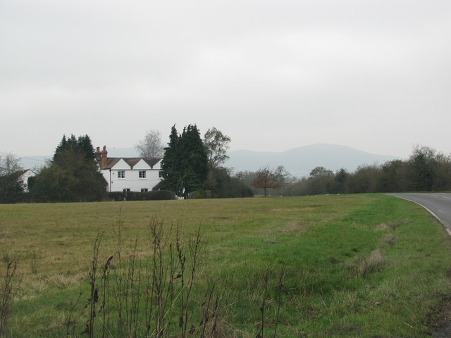
South Wood is a small village located in the county of Worcestershire, England. Situated in the heart of the picturesque Forest of Wood, the village is surrounded by lush greenery and natural beauty. It is a part of the larger Wyre Forest District and is known for its tranquil atmosphere and charming countryside.

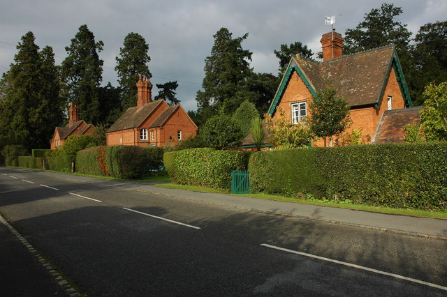
The village of South Wood is home to a close-knit community, with a population of around 500 residents. The area is predominantly residential, with a few local amenities including a village hall, a primary school, and a small convenience store. The nearest town, Bewdley, is just a short drive away and offers a wider range of facilities such as supermarkets, restaurants, and leisure activities.

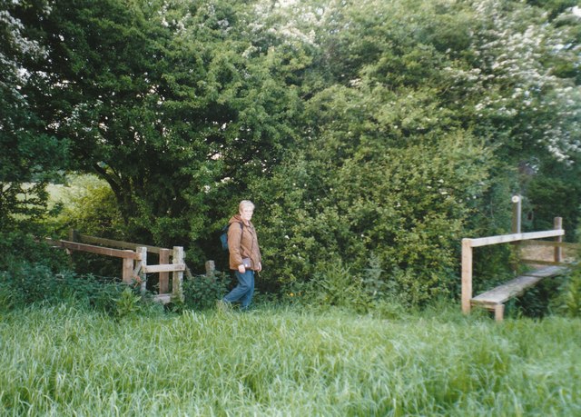
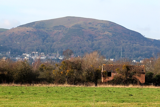
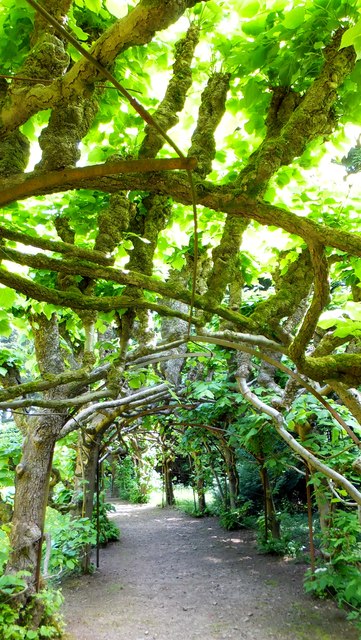
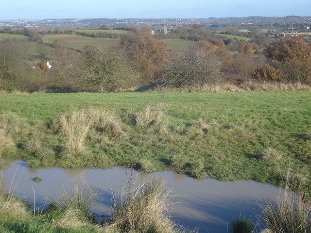
The Forest of Wood, which encompasses South Wood, is a designated Area of Outstanding Natural Beauty. The woodland is teeming with diverse flora and fauna, making it a haven for nature lovers and outdoor enthusiasts. There are several walking and cycling trails that wind through the forest, providing opportunities for exploration and discovery.

The village is also known for its rich history, with evidence of human presence dating back to the Iron Age. The nearby Wyre Forest is home to ancient oak trees, some of which are estimated to be over 500 years old. Additionally, there are remnants of medieval settlements and structures scattered throughout the area, offering a glimpse into the past.

Overall, South Wood, Worcestershire is a peaceful and idyllic village nestled in the enchanting Forest of Wood, offering residents and visitors a chance to escape the hustle and bustle of modern life and immerse themselves in nature's beauty.

If you have any feedback on the listing, please let us know in the comments section below.
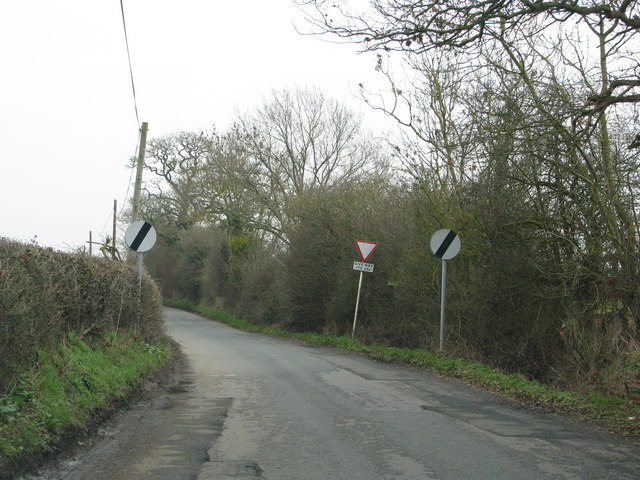
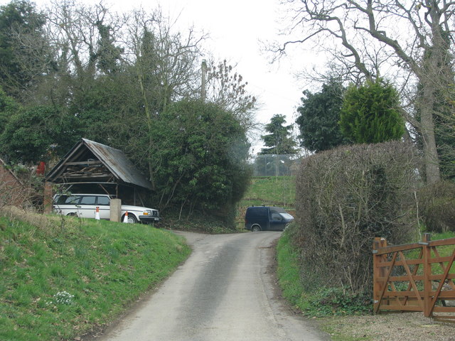
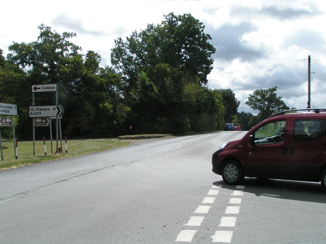
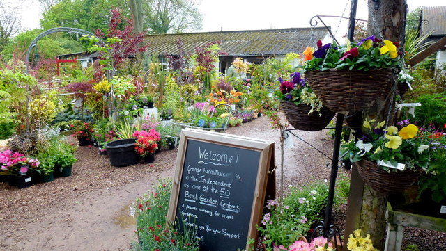
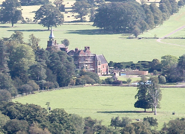
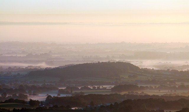
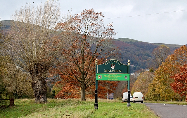
South Wood Images

Images are sourced within 2km of 52.112497/-2.2636653 or Grid Reference SO8246. Thanks to Geograph Open Source API. All images are credited.

Footbridges at the junction of footpaths near Blackmore End
Field by the white house near Rhydd
Minor road on the northern edge of Guarlford
Pylons cross the road near White House Farm
Road narrows approaching the B4424
Bridleway follows this access track
B4424 at Rydd
B4424 at Rydd
Old Barn, Guarlford A derelict building amongst an apple orchard with a good crop of mistletoe.
In the background is North Hill at the end of the granite Malvern Hills range with Great Malvern beneath.
The church spire to the left of centre is Holly Mount United Reformed Church.
The infill television transmitter is to the right of the picture.
This also transmits local radio and the structure is adorned with a plethora of aerials and microwave dishes.
Old Barn, Guarlford
A derelict building amongst an apple orchard with a good crop of mistletoe. In the background is North Hill at the end of the granite Malvern Hills range with Great Malvern beneath. The church spire to the left of centre is Holly Mount United Reformed Church. The infill television transmitter is to the right of the picture. This also transmits local radio and the structure is adorned with a plethora of aerials and microwave dishes.
Grange Farm Nurseries A small independent plant centre that has an enviable reputation for quality.
Grange Farm Nurseries
A small independent plant centre that has an enviable reputation for quality.
Madresfield Court Viewed from Lady Howard De Walden's Drive on North Hill.
The court, currently covered in scaffolding, has been the ancestral home for several centuries of the Lygon family, whose eldest sons took the title of Earl Beauchamp from 1815 until 1979.
It is the real location for Evelyn Waugh's "Brideshead Revisited".
Madresfield Court
Viewed from Lady Howard De Walden's Drive on North Hill. The court, currently covered in scaffolding, has been the ancestral home for several centuries of the Lygon family, whose eldest sons took the title of Earl Beauchamp from 1815 until 1979. It is the real location for Evelyn Waugh's "Brideshead Revisited".
Dripshill at dawn Mist covers the River Severn flowing right to left just behind the hill.
Dripshill at dawn
Mist covers the River Severn flowing right to left just behind the hill.
Malvern Hills from The Rhydd, 1960 View westward at the junction of the old A440 (now renumbered B4211) to Great Malvern with the B4424; on the left is Worcester Beacon (1,395 ft), on the right North Hill (1,307 ft).
Malvern Hills from The Rhydd, 1960
View westward at the junction of the old A440 (now renumbered B4211) to Great Malvern with the B4424; on the left is Worcester Beacon (1,395 ft), on the right North Hill (1,307 ft).
Welcome to Malvern The sign on the B4211, Guarlford straight, has been recently updated with a new section boasting our twinning with Mariánské Lázně in the Czech Republic.
Welcome to Malvern
The sign on the B4211, Guarlford straight, has been recently updated with a new section boasting our twinning with Mariánské Lázně in the Czech Republic.
Road junction at Rhydd The road junction of the B4211 to Great Malvern with the B4424 which continues north to Powick.  From here the B4211 to Great Malvern is locally known as the Guarlford Straight.  This picture shows the same junction as photographed by Ben Brooksbank in 1960. <a href="https://www.geograph.org.uk/photo/3192955">SO8345 : Malvern Hills from The Rhydd, 1960</a>
Road junction at Rhydd
The road junction of the B4211 to Great Malvern with the B4424 which continues north to Powick. From here the B4211 to Great Malvern is locally known as the Guarlford Straight. This picture shows the same junction as photographed by Ben Brooksbank in 1960. SO8345 : Malvern Hills from The Rhydd, 1960
Road junction at Rhydd The road junction of the B4211 to Great Malvern with the B4424 which continues north to Powick.  From here the B4211 to Great Malvern is locally known as the Guarlford Straight.  This picture shows the same junction as photographed by Ben Brooksbank in 1960. <a href="https://www.geograph.org.uk/photo/3192955">SO8345 : Malvern Hills from The Rhydd, 1960</a> The junction is now somewhat more cluttered with signs.
Road junction at Rhydd
The road junction of the B4211 to Great Malvern with the B4424 which continues north to Powick. From here the B4211 to Great Malvern is locally known as the Guarlford Straight. This picture shows the same junction as photographed by Ben Brooksbank in 1960. SO8345 : Malvern Hills from The Rhydd, 1960 The junction is now somewhat more cluttered with signs.
Madresfield Court
Madresfield Court
The Lime Arbour, Madresfield Court Gardens
Milestone in layby This milestone (a Grade II listed structure) is on the east side of a bypassed portion of the old road, now a layby. A nineteenth-century benchmark on top, shown on old maps with a height of 66 ft above Ordnance Datum (Liverpool) appears to have been filled with cement at some stage. The 1904 map shows a north pointing arrow, which conforms to the shape of the cement fill.
Milestone in layby
This milestone (a Grade II listed structure) is on the east side of a bypassed portion of the old road, now a layby. A nineteenth-century benchmark on top, shown on old maps with a height of 66 ft above Ordnance Datum (Liverpool) appears to have been filled with cement at some stage. The 1904 map shows a north pointing arrow, which conforms to the shape of the cement fill.
Show me another place!

South Wood is located at Grid Ref: SO8246 (Lat: 52.112497, Lng: -2.2636653)

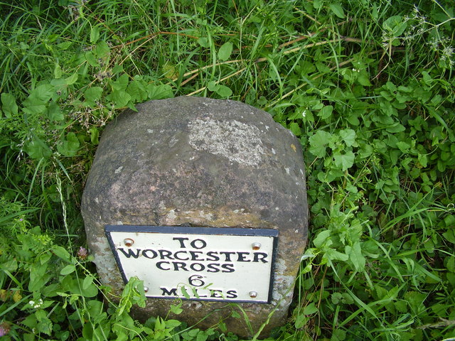
Administrative County: Worcestershire

District: Malvern Hills

Police Authority: West Mercia

What 3 Words

///stun.climber.preparing. Near Great Malvern, Worcestershire

Nearby Locations

South Wood

Related Wikis

Guarlford

Guarlford is a village and civil parish in the Malvern Hills district in the county of Worcestershire, England. The parish population was 261 in 2021.It...

Clevelode

Clevelode is a small village in Worcestershire, England. It is located around 5 miles south of Worcester just to the west of the River Severn. Clevelode...
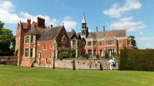
Madresfield Court

Madresfield Court is a country house in Malvern, Worcestershire, England. The home of the Lygon family for nearly six centuries, it has never been sold...

The Rhydd

The Rhydd (formerly Rhydd Court) is an English country house alongside the River Severn, near the village of Hanley Castle, Worcestershire, about halfway...

Madresfield

Madresfield is a village and civil parish in the administrative district of Malvern Hills in the county of Worcestershire, England. It is located about...

Sherrard's Green

Sherrard's Green is a village and a suburb of Malvern, Worcestershire, England, situated approximately 1.5 miles (2.4 km) southeast of Great Malvern, the...

Old Hills

The Old Hills are an area of common land in Worcestershire, England. They are located around two miles to the east of Great Malvern and about a mile west...

Malvern Town F.C.

Malvern Town Football Club is a football club based in Malvern, Worcestershire, England. They are currently members of the Southern League Division One...

Related Videos

Karsten 300 air tent and sleeping extension - real time set-up

A great video detailing how we at Camping Travel Store set up the Karsten 300 air tent and sleeping extension in real-time.

Malvern Hills Club site

A large site with views of the nearby Malvern Hills and ideally located for a host of attractions in the surrounding area. As well as ...

Cycle from Malvern Hills Club site

Jonathan Manning avoids the steepest of climbs as he navigates a picturesque route through the lower slopes of the Malvern Hills ...

Welcome to Orchard Side Bed and Breakfast 2021

https://orchardsidehanleyswan.co.uk/ This Orchard Side Bed and Breakfast Promotional Video will inspire you to come and visit ...

Nearby Amenities

Located within 500m of 52.112497,-2.2636653
Barrier: stile
Foot: yes
Lat/Long: 52.1126479/-2.2591071
Barrier: stile
Foot: yes
Lat/Long: 52.1124986/-2.2589591
Barrier: stile
Foot: yes
Lat/Long: 52.11052/-2.257666
Power: tower
Lat/Long: 52.1101645/-2.2659736
Power: tower
Lat/Long: 52.1103765/-2.2605548
Power: tower
Lat/Long: 52.1104218/-2.2580032
Power: pole
Lat/Long: 52.1107683/-2.2587901
Power: pole
Lat/Long: 52.1115344/-2.2578862
Power: pole
Lat/Long: 52.1122806/-2.256977
Power: pole
Lat/Long: 52.1086171/-2.2601607
Whitehouse Farm
Power: pole
Transformer: distribution
Voltage Primary: 11000
Lat/Long: 52.1094424/-2.2603914
Power: pole
Lat/Long: 52.1100931/-2.2595868
Southwood Lodge Guarlford
Power: pole
Transformer: distribution
Voltage Primary: 11000
Lat/Long: 52.1116431/-2.2647299
Power: pole
Lat/Long: 52.1111819/-2.2648023
Power: pole
Lat/Long: 52.1107602/-2.2648855
Power: pole
Lat/Long: 52.110098/-2.2655828
Power: pole
Lat/Long: 52.1094078/-2.2663365
Power: pole
Lat/Long: 52.1086418/-2.2659114
The data included in this document is from www.openstreetmap.org. The data is made available under ODbL.

Have you been to South Wood?

Leave your review of South Wood below (or comments, questions and feedback).