Hollies Common

Wood, Forest in Staffordshire Stafford

England

Hollies Common

Plardiwick Bridge, Shropshire Union Canal Erected around 1830 as an agricultural accommodation bridge, and Grade II listed <span class="nowrap"><a title="https://britishlistedbuildings.co.uk/101273080-plardiwick-bridge-no-36-at-sj-815-206-gnosall#.YS5APo5KjIU" rel="nofollow ugc noopener" href="https://britishlistedbuildings.co.uk/101273080-plardiwick-bridge-no-36-at-sj-815-206-gnosall#.YS5APo5KjIU">Link</a><img style="margin-left:2px;" alt="External link" title="External link - shift click to open in new window" src="https://s1.geograph.org.uk/img/external.png" width="10" height="10"/></span> & <span class="nowrap"><a title="https://historicengland.org.uk/listing/the-list/list-entry/1273080" rel="nofollow ugc noopener" href="https://historicengland.org.uk/listing/the-list/list-entry/1273080">Link</a><img style="margin-left:2px;" alt="External link" title="External link - shift click to open in new window" src="https://s1.geograph.org.uk/img/external.png" width="10" height="10"/></span> in Oct 1991.
Plardiwick Bridge, Shropshire Union Canal Credit: Richard Law

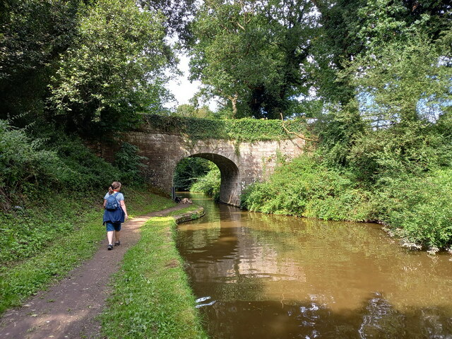
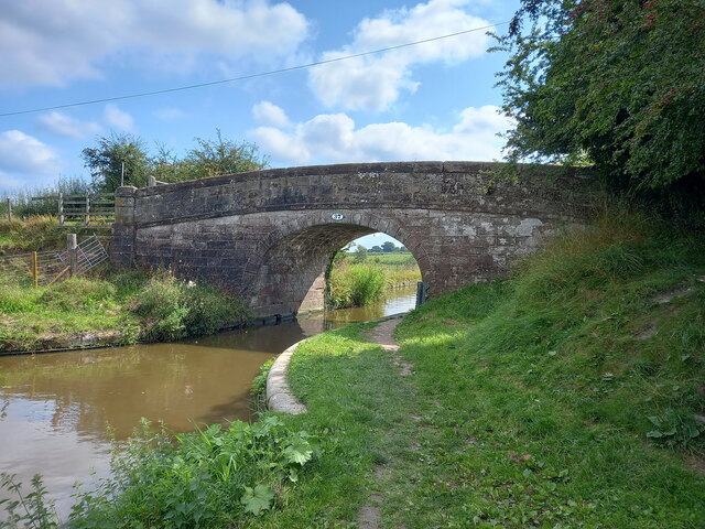
Hollies Common is a beautiful woodland area located in Staffordshire, England. Covering approximately 200 acres, it is a popular destination for nature enthusiasts and those seeking a peaceful retreat in the heart of the countryside. The common is characterized by its dense forest, consisting mainly of oak, beech, and birch trees, providing a rich and diverse habitat for a variety of wildlife.

The common is intersected by several walking trails, offering visitors the opportunity to explore the stunning scenery and observe the local flora and fauna. These trails are well-maintained and suitable for all ages and fitness levels, making it an ideal destination for families and outdoor enthusiasts alike.

In addition to its natural beauty, Hollies Common also boasts a small picnic area, equipped with benches and tables, providing the perfect spot for a leisurely lunch or a peaceful afternoon spent admiring the surroundings. The common is also home to a small pond, where visitors can often spot a variety of water birds and other aquatic creatures.

Hollies Common is managed and maintained by the local council, who work diligently to preserve its natural beauty and protect the diverse ecosystem it supports. As a result, visitors are encouraged to adhere to the guidelines and regulations in place, such as refraining from littering and respecting the wildlife.

Overall, Hollies Common is a hidden gem in Staffordshire, offering a tranquil escape from the hustle and bustle of everyday life. Whether you are a nature lover, a keen hiker, or simply seeking a peaceful retreat, this woodland area is sure to captivate and inspire.

If you have any feedback on the listing, please let us know in the comments section below.

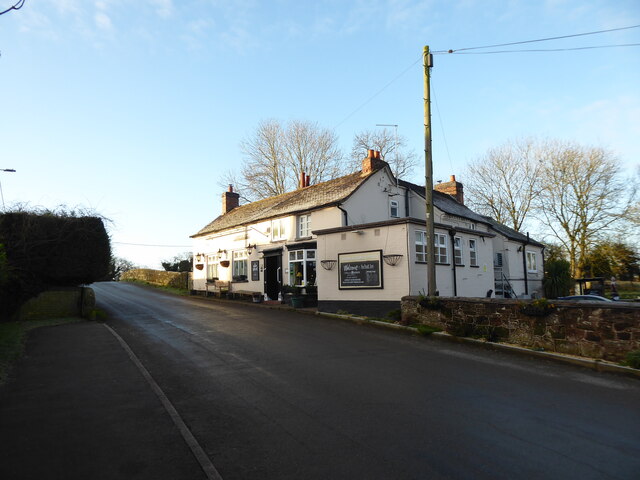
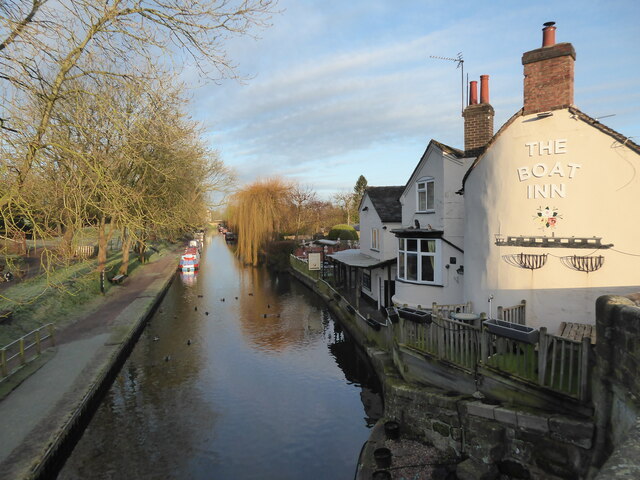
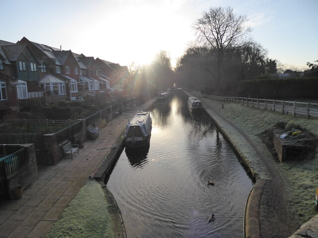
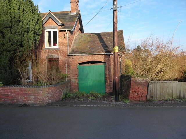
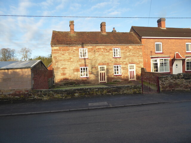
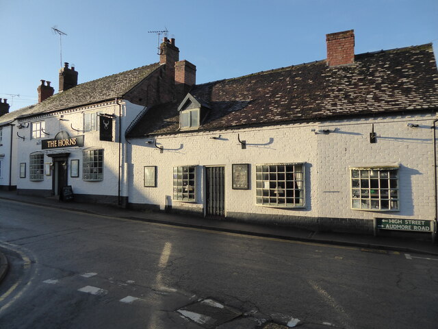
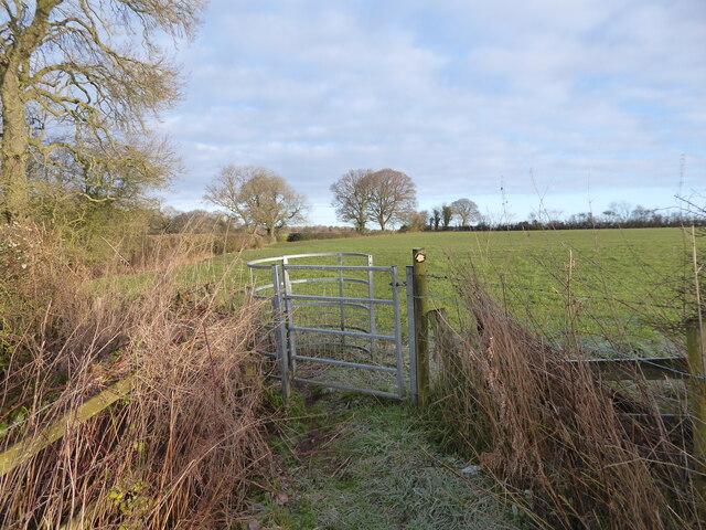
Hollies Common Images

Images are sourced within 2km of 52.79482/-2.2680877 or Grid Reference SJ8221. Thanks to Geograph Open Source API. All images are credited.

Plardiwick Bridge, Shropshire Union Canal Erected around 1830 as an agricultural accommodation bridge, and Grade II listed <span class="nowrap"><a title="https://britishlistedbuildings.co.uk/101273080-plardiwick-bridge-no-36-at-sj-815-206-gnosall#.YS5APo5KjIU" rel="nofollow ugc noopener" href="https://britishlistedbuildings.co.uk/101273080-plardiwick-bridge-no-36-at-sj-815-206-gnosall#.YS5APo5KjIU">Link</a><img style="margin-left:2px;" alt="External link" title="External link - shift click to open in new window" src="https://s1.geograph.org.uk/img/external.png" width="10" height="10"/></span> & <span class="nowrap"><a title="https://historicengland.org.uk/listing/the-list/list-entry/1273080" rel="nofollow ugc noopener" href="https://historicengland.org.uk/listing/the-list/list-entry/1273080">Link</a><img style="margin-left:2px;" alt="External link" title="External link - shift click to open in new window" src="https://s1.geograph.org.uk/img/external.png" width="10" height="10"/></span> in Oct 1991.
Plardiwick Bridge, Shropshire Union Canal
Erected around 1830 as an agricultural accommodation bridge, and Grade II listed LinkExternal link & LinkExternal link in Oct 1991.
Cast iron rope fender at Plardiwick Bridge One of the two well-worn rope fenders on the bridge at Plardiwick. It's included in the Grade II listing that the bridge holds.
Cast iron rope fender at Plardiwick Bridge
One of the two well-worn rope fenders on the bridge at Plardiwick. It's included in the Grade II listing that the bridge holds.
Machin's Barn Bridge at Gnosall Heath Built around 1830 as an accommodation bridge, and Grade II listed <span class="nowrap"><a title="https://britishlistedbuildings.co.uk/101243117-shropshire-union-canal-barn-bridge-number-37-at-sj-809-211-gnosall#.YS5CpI5KjIU" rel="nofollow ugc noopener" href="https://britishlistedbuildings.co.uk/101243117-shropshire-union-canal-barn-bridge-number-37-at-sj-809-211-gnosall#.YS5CpI5KjIU">Link</a><img style="margin-left:2px;" alt="External link" title="External link - shift click to open in new window" src="https://s1.geograph.org.uk/img/external.png" width="10" height="10"/></span> & <span class="nowrap"><a title="https://historicengland.org.uk/listing/the-list/list-entry/1243117" rel="nofollow ugc noopener" href="https://historicengland.org.uk/listing/the-list/list-entry/1243117">Link</a><img style="margin-left:2px;" alt="External link" title="External link - shift click to open in new window" src="https://s1.geograph.org.uk/img/external.png" width="10" height="10"/></span> in October 1991.
Machin's Barn Bridge at Gnosall Heath
Built around 1830 as an accommodation bridge, and Grade II listed LinkExternal link & LinkExternal link in October 1991.
Cast iron rope fender on the wall of Machin's Barn Bridge Scarred and grooved by the passage of many years of horse-drawn barges along the canal, this is one of a pair of cast-iron fenders on the bridge, and is included in the Grade II listing details for the site <span class="nowrap"><a title="https://britishlistedbuildings.co.uk/101243117-shropshire-union-canal-barn-bridge-number-37-at-sj-809-211-gnosall" rel="nofollow ugc noopener" href="https://britishlistedbuildings.co.uk/101243117-shropshire-union-canal-barn-bridge-number-37-at-sj-809-211-gnosall">Link</a><img style="margin-left:2px;" alt="External link" title="External link - shift click to open in new window" src="https://s1.geograph.org.uk/img/external.png" width="10" height="10"/></span> & <span class="nowrap"><a title="https://historicengland.org.uk/listing/the-list/list-entry/1243117" rel="nofollow ugc noopener" href="https://historicengland.org.uk/listing/the-list/list-entry/1243117">Link</a><img style="margin-left:2px;" alt="External link" title="External link - shift click to open in new window" src="https://s1.geograph.org.uk/img/external.png" width="10" height="10"/></span>
Cast iron rope fender on the wall of Machin's Barn Bridge
Scarred and grooved by the passage of many years of horse-drawn barges along the canal, this is one of a pair of cast-iron fenders on the bridge, and is included in the Grade II listing details for the site LinkExternal link & LinkExternal link
Benchmark, 1 High Street, Gnosall Detail of the Ordnance Survey flush bracket benchmark 2453 on the west angle of 1 High Street, Gnosall. The benchmark marks a height of 94.652m above mean sea level (Ordnance Datum Newlyn) last levelled in 1956 and verified in 1969 (location photograph <a href="https://www.geograph.org.uk/photo/6971154">SJ8220 : The corner of 1 High Street</a>).
Benchmark, 1 High Street, Gnosall
Detail of the Ordnance Survey flush bracket benchmark 2453 on the west angle of 1 High Street, Gnosall. The benchmark marks a height of 94.652m above mean sea level (Ordnance Datum Newlyn) last levelled in 1956 and verified in 1969 (location photograph SJ8220 : The corner of 1 High Street).
The corner of 1 High Street Formerly the police station, the south west face of 1 High Street faces onto the A518, Stafford Road.
There is an Ordnance Survey flush bracket benchmark low down near the corner of the wall (photograph <a href="https://www.geograph.org.uk/photo/6971120">SJ8220 : Benchmark, 1 High Street, Gnosall</a>).
The corner of 1 High Street
Formerly the police station, the south west face of 1 High Street faces onto the A518, Stafford Road. There is an Ordnance Survey flush bracket benchmark low down near the corner of the wall (photograph SJ8220 : Benchmark, 1 High Street, Gnosall).
Canalside scene in Gnosall Heath These quackers came over to say hello.
Canalside scene in Gnosall Heath
These quackers came over to say hello.
Canalside scene in Gnosall Heath Canals always succeed at being colourful.
Canalside scene in Gnosall Heath
Canals always succeed at being colourful.
The Boat Inn pub in Gnosall Heath Best pub I know.
The Boat Inn pub in Gnosall Heath
Best pub I know.
Part of the canal in Gnosall Heath Beautiful.
Part of the canal in Gnosall Heath
Beautiful.
Morning on the canal at Gnosall Heath Like me, the ducks here are stretching, moving about and getting ready to explore their environment.
Morning on the canal at Gnosall Heath
Like me, the ducks here are stretching, moving about and getting ready to explore their environment.
Small parade of shops on Wharf Road, Gnosall Heath A few local businesses and convenience shops.
Small parade of shops on Wharf Road, Gnosall Heath
A few local businesses and convenience shops.
Old building alongside a house on Wharf Road, Gnosall Heath A vehicle garage I assume, though possibly not for the house it is built alongside of any more. It looks a little dangerous now. Obviously long disused.
Old building alongside a house on Wharf Road, Gnosall Heath
A vehicle garage I assume, though possibly not for the house it is built alongside of any more. It looks a little dangerous now. Obviously long disused.
Old cottage on Wharf Road, Gnosall Heath Nice old place.
Old cottage on Wharf Road, Gnosall Heath
Nice old place.
Road linking Gnosall Heath with Gnosall Nice places.
Road linking Gnosall Heath with Gnosall
Nice places.
St Lawrence church in Gnosall Beautiful church on a hilltop.
St Lawrence church in Gnosall
Beautiful church on a hilltop.
The Horns pub in Gnosall Public house.
The Horns pub in Gnosall
Public house.
Footpath line across fields I can't wait to get along here.
Footpath line across fields
I can't wait to get along here.
Show me another place!

Hollies Common is located at Grid Ref: SJ8221 (Lat: 52.79482, Lng: -2.2680877)

Administrative County: Staffordshire

District: Stafford

Police Authority: Staffordshire

What 3 Words

///ribcage.passenger.neater. Near Gnosall, Staffordshire

Related Wikis

St Lawrence's Church, Gnosall

St Lawrence's Church is an Anglican church in Gnosall, Staffordshire, England. It is a Grade I listed building. The earliest parts of the church are of...
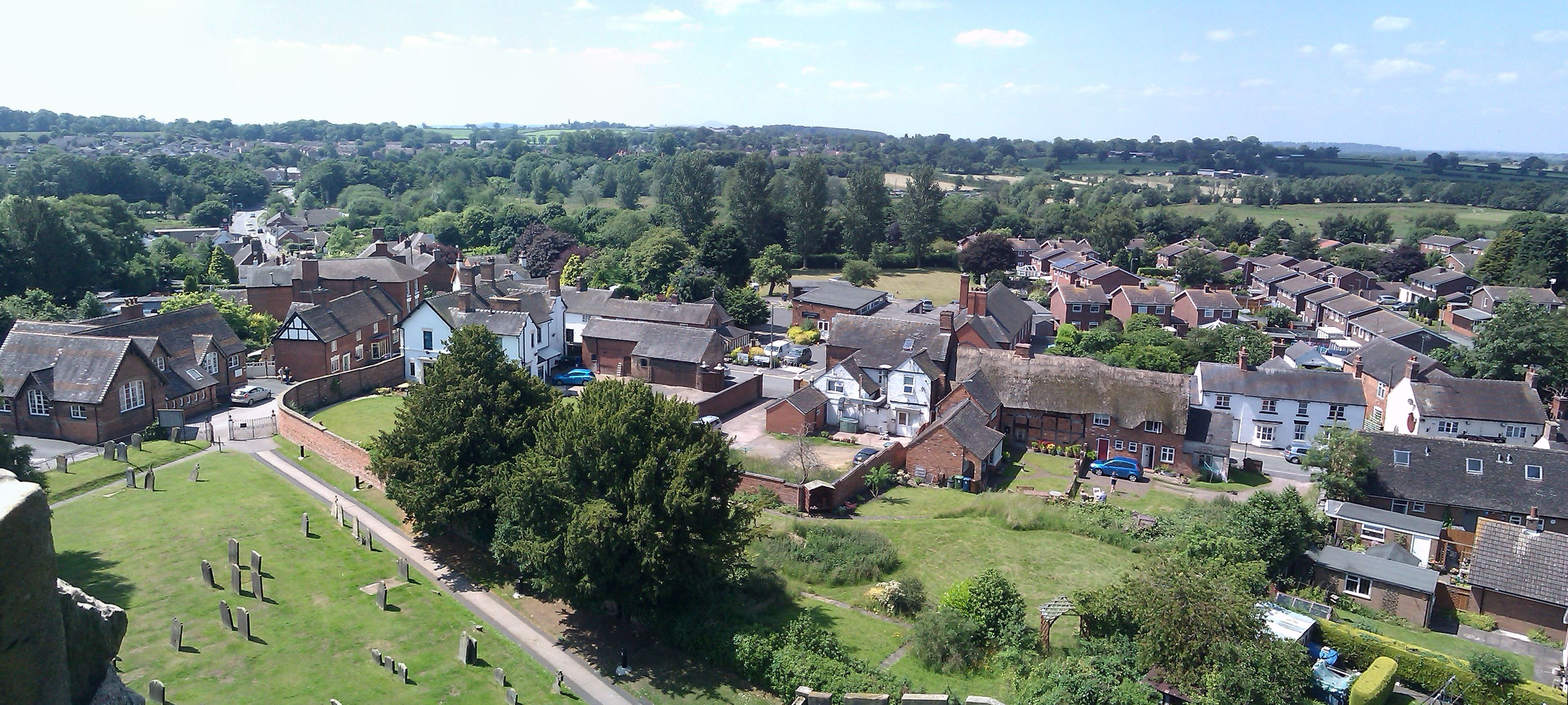
Gnosall

Gnosall () is a village and civil parish in the Borough of Stafford, Staffordshire, England, with a population of 4,736 across 2,048 households (2011 census...

Gnosall railway station

Gnosall railway station was a station in Gnosall, Staffordshire, England. The station was opened in June 1849 and closed on 7 September 1964. == References... ==

Coton, Staffordshire

Coton is a hamlet in the English county of Staffordshire.It lies on the A518 road some two miles west of Gnosall. == See also == Listed buildings in Gnosall...

Ranton Green

Ranton Green is a small village in Staffordshire about a mile southwest of Ranton, Staffordshire and a mile northeast of Gnosall. It consists of a few...

Norbury Junction

Norbury Junction (grid reference SJ793228) is a hamlet and former canal junction which lies about 1 mile (1.6 km) to the south east of Norbury, in Staffordshire...

Gnosall Rural District

Gnosall was a rural district in Staffordshire, England from 1894 to 1934. It was formed under the Local Government Act 1894 from that part of the Newport...

Abbey House, Ranton

Abbey House is an early 19th-century ruined stately home in Ranton, Staffordshire, England. == History == The red-brick Regency house was built in 1820...

Have you been to Hollies Common?

Leave your review of Hollies Common below (or comments, questions and feedback).