Withybed Wood

Wood, Forest in Somerset Mendip

England

Withybed Wood

A36 at the bottom of Black Dog Hill Seen from the lay-by to the south of the road.
A36 at the bottom of Black Dog Hill Credit: David Martin

Withybed Wood is a charming woodland located in Somerset, England. Comprising an area of approximately 50 acres, this beautiful forest is nestled in the heart of the picturesque countryside. Withybed Wood is renowned for its diverse range of flora and fauna, making it a popular destination for nature enthusiasts and wildlife lovers.

Covered in a lush canopy of trees, including oak, beech, and ash, the wood creates a serene and tranquil atmosphere. The forest floor is adorned with an array of wildflowers, creating a vibrant and colorful landscape during the spring and summer months. Withybed Wood is also home to a variety of wildlife, including deer, badgers, and numerous species of birds. Birdwatchers can spot woodpeckers, owls, and warblers among the trees, while lucky visitors may even catch a glimpse of a rare red squirrel.

For those seeking outdoor activities, Withybed Wood offers a network of well-maintained walking trails. These paths wind through the forest, providing an opportunity to immerse oneself in the natural beauty and solitude of the woodland. The wood is also a popular spot for picnicking and family outings, with designated areas providing picnic tables and benches for visitors to relax and enjoy the peaceful surroundings.

Withybed Wood holds historical significance as well, with remnants of ancient woodlands dating back centuries. This adds an element of intrigue and wonder to the forest, as visitors can explore the past while experiencing the present.

Overall, Withybed Wood in Somerset offers a unique and enchanting escape into nature, providing a haven for wildlife, a playground for outdoor enthusiasts, and a place of serenity for all who visit.

If you have any feedback on the listing, please let us know in the comments section below.

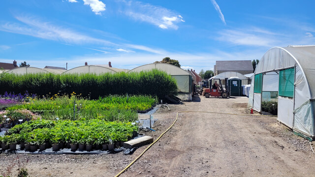
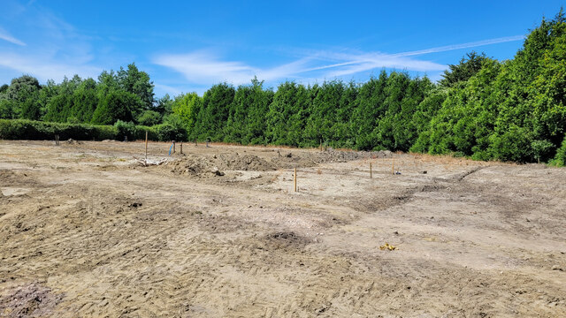
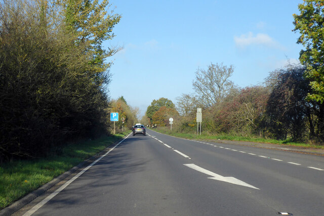
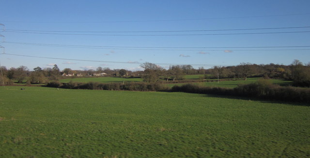
Withybed Wood Images

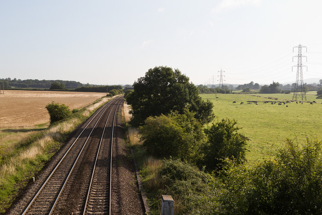
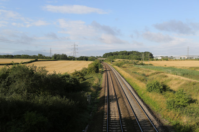
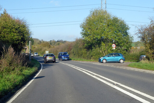
Images are sourced within 2km of 51.245443/-2.2612942 or Grid Reference ST8149. Thanks to Geograph Open Source API. All images are credited.

A36 at the bottom of Black Dog Hill Seen from the lay-by to the south of the road.
A36 at the bottom of Black Dog Hill
Seen from the lay-by to the south of the road.
Barters Plant Centre Very colourful stock in early July 2022.
Barters Plant Centre
Very colourful stock in early July 2022.
Barter's Plant Centre entrance An inauspicious entrance to a horticultural emporium.
Barter's Plant Centre entrance
An inauspicious entrance to a horticultural emporium.
Barter's Farm Nurseries Some land has been given up for housing beyond these polytunnels.
Barter's Farm Nurseries
Some land has been given up for housing beyond these polytunnels.
Development area at Barter's Farm Nurseries An area being prepared for a new polytunnel.
Development area at Barter's Farm Nurseries
An area being prepared for a new polytunnel.
A36 towards Bath
A36 towards Bath
Countryside at Berkley Marsh Looking towards the village of Berkley (left of centre) from a train on the main railway line between Westbury and Frome. Pylon lines, drainage channels and hedges cross this low-lying area of pasture.
Countryside at Berkley Marsh
Looking towards the village of Berkley (left of centre) from a train on the main railway line between Westbury and Frome. Pylon lines, drainage channels and hedges cross this low-lying area of pasture.
Passing Berkley Marsh The west of England mainline between Westbury and Taunton passes to the west of the village of Berkley Marsh.  This view is taken early on a mid-August morning from Marsh Lane looking towards Westbury.   The cows are all standing up, so it should be a fine day.
Passing Berkley Marsh
The west of England mainline between Westbury and Taunton passes to the west of the village of Berkley Marsh. This view is taken early on a mid-August morning from Marsh Lane looking towards Westbury. The cows are all standing up, so it should be a fine day.
Looking Towards Frome The West of England mainline between Westbury and Taunton viewed from Marsh Bridge on Marsh Lane early on a mid-August morning.
Looking Towards Frome
The West of England mainline between Westbury and Taunton viewed from Marsh Bridge on Marsh Lane early on a mid-August morning.
Waitrose Delivery A Waitrose truck passes northbound up the A361 towards Melksham on the outskirts of Frome.   Behind, on the right, is the Frome Premier Inn with its Frome Flyer restaurant located on Jenson Avenue - a reference to Formula One driver Jenson Button, who is from Frome.
Waitrose Delivery
A Waitrose truck passes northbound up the A361 towards Melksham on the outskirts of Frome. Behind, on the right, is the Frome Premier Inn with its Frome Flyer restaurant located on Jenson Avenue - a reference to Formula One driver Jenson Button, who is from Frome.
Berkley Marsh Looking west towards Frome at Berkley on the Great Western Main Line.
Berkley Marsh
Looking west towards Frome at Berkley on the Great Western Main Line.
White Row Farm - Playground Outdoor leisure for little folk at this popular large farm shop complex NE of Frome.
White Row Farm - Playground
Outdoor leisure for little folk at this popular large farm shop complex NE of Frome.
Junction of A36 and B3099 Looking in the Bath direction. The B3099 goes towards Westbury.
Junction of A36 and B3099
Looking in the Bath direction. The B3099 goes towards Westbury.
A36 towards Bath
A36 towards Bath
A36 towards Bath Approaching a roundabout junction with the A361 from the west.
A36 towards Bath
Approaching a roundabout junction with the A361 from the west.
The Bell at Standerwick
2008 : Frome bypass, looking north Bypasses are not to everyones' liking but this one brought great relief to those on the north to south route through Frome.
The people living in Frome were quite pleased as well.
2008 : Frome bypass, looking north
Bypasses are not to everyones' liking but this one brought great relief to those on the north to south route through Frome. The people living in Frome were quite pleased as well.
2008 : Frome bypass looking south From Berkley Lane overbridge.
The roundabout is at the entrance to the new business park.
2008 : Frome bypass looking south
From Berkley Lane overbridge. The roundabout is at the entrance to the new business park.
Show me another place!

Withybed Wood is located at Grid Ref: ST8149 (Lat: 51.245443, Lng: -2.2612942)

Administrative County: Somerset

District: Mendip

Police Authority: Avon and Somerset

What 3 Words

///partner.sweeper.satellite. Near Chapmanslade, Wiltshire

Related Wikis

Church of St Mary, Berkley

The Church of St Mary is a Church of England parish church in Berkley, Somerset. It is a Grade II* listed building built in 1751. == History == The church...

Berkley, Somerset

Berkley is a dispersed settlement and civil parish in Somerset, England. According to the 2011 census the parish had a population of 344. It lies on the...

Chapmanslade

Chapmanslade is a village and civil parish in the county of Wiltshire, in the southwest of England. The parish is on the county border with Somerset and...

Frome Hoard

The Frome Hoard is a hoard of 52,503 Roman coins found in April 2010 by metal detectorist Dave Crisp near Frome in Somerset, England. The coins were contained...

Nearby Amenities

Located within 500m of 51.245443,-2.2612942
Power: pole
Lat/Long: 51.2413758/-2.2630982
Power: pole
Lat/Long: 51.2419534/-2.261611
Power: pole
Lat/Long: 51.2425198/-2.2601679
Power: pole
Lat/Long: 51.243071/-2.2587391
Power: pole
Lat/Long: 51.2436371/-2.2573171
Power: pole
Lat/Long: 51.2439574/-2.2557596
The data included in this document is from www.openstreetmap.org. The data is made available under ODbL.

Have you been to Withybed Wood?

Leave your review of Withybed Wood below (or comments, questions and feedback).