Mere Copse
Wood, Forest in Staffordshire South Staffordshire
England
Mere Copse
The requested URL returned error: 429 Too Many Requests
If you have any feedback on the listing, please let us know in the comments section below.
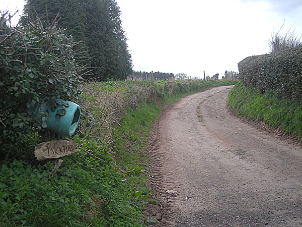
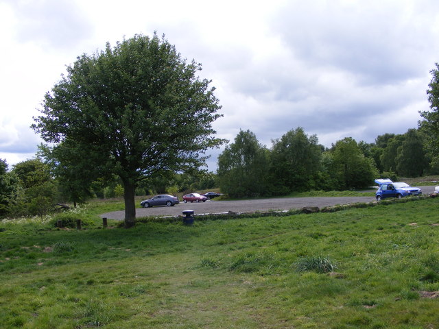
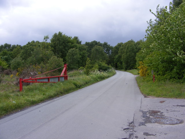
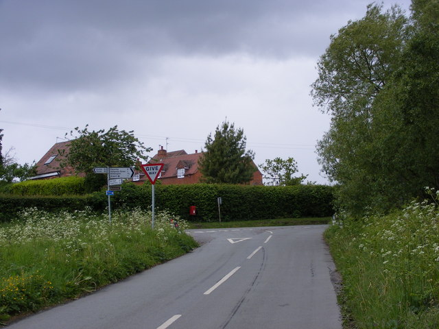
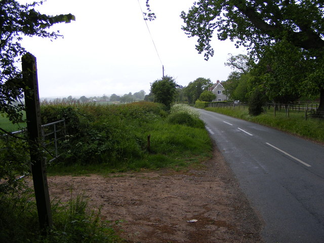
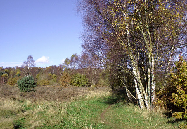
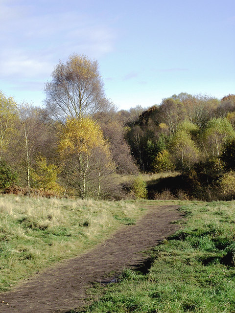
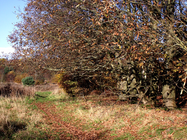
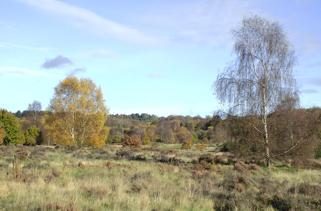
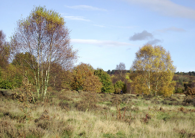
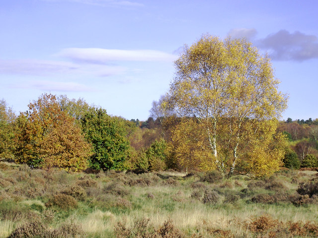
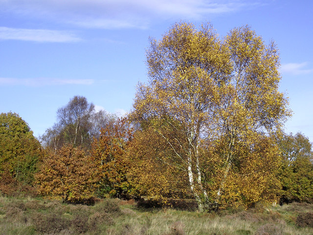
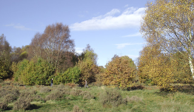
Mere Copse Images
Images are sourced within 2km of 52.502562/-2.2689415 or Grid Reference SO8189. Thanks to Geograph Open Source API. All images are credited.


Mere Copse is located at Grid Ref: SO8189 (Lat: 52.502562, Lng: -2.2689415)
Administrative County: Staffordshire
District: South Staffordshire
Police Authority: Staffordshire
What 3 Words
///sandbags.vine.series. Near Kinvere, Staffordshire
Nearby Locations
Related Wikis

Bobbington
Bobbington is a village and civil parish in the South Staffordshire district of Staffordshire, England, about 5 miles (8.0 km) west of Wombourne. According...
Wolverhampton Airport
Wolverhampton Halfpenny Green Airport (ICAO: EGBO), formerly Halfpenny Green Airport and Wolverhampton Business Airport, locally Bobbington Airport, is...

Highgate Common
Highgate Common is a Staffordshire Wildlife Trust reserve containing a mix of heathland and woodland. It is about 129 hectares or 320 acres in size. The...

Mid Severn Sandstone Plateau
The Mid Severn Sandstone Plateau is a rural landscape and one of the natural regions of central England, straddling the border between the counties of...
Nearby Amenities
Located within 500m of 52.502562,-2.2689415Have you been to Mere Copse?
Leave your review of Mere Copse below (or comments, questions and feedback).