Callwood's Moss

Wood, Forest in Cheshire

England

Callwood's Moss

Chelford, St. John the Evangelist's Church: Eastern aspect
Chelford, St. John the Evangelist's Church: Eastern aspect Credit: Michael Garlick

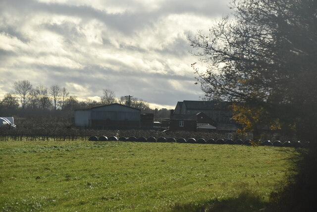
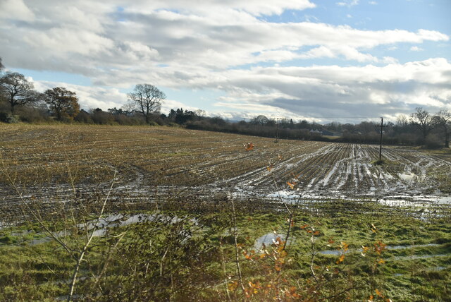
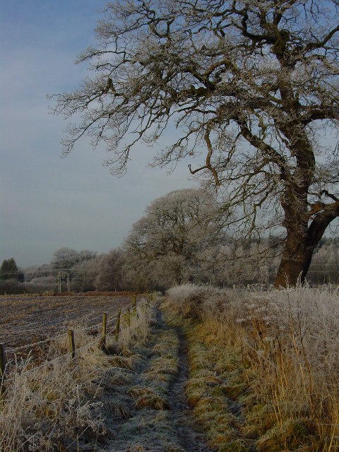
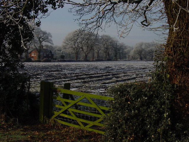
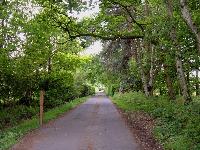
Callwood's Moss is a picturesque woodland located in Cheshire, England. Spanning over a vast area, this ancient forest is renowned for its natural beauty and is a popular destination for nature lovers, hikers, and wildlife enthusiasts.

The woodland is characterized by its dense canopy of towering trees, predominantly consisting of oak, beech, and birch. The lush green moss that blankets the forest floor gives the woodland its name and adds to its enchanting atmosphere. Callwood's Moss is also home to a diverse range of plants and flowers, including bluebells, primroses, and wild garlic, which create a vibrant burst of color during the spring season.

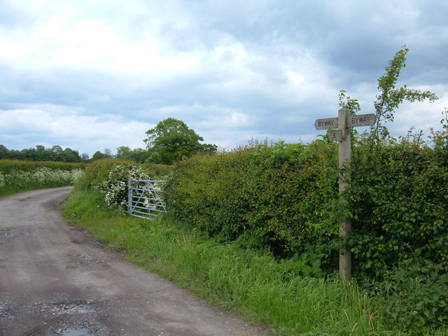
As visitors explore the forest, they will discover a network of well-maintained footpaths and trails, providing easy access to its hidden treasures. The tranquil ambiance of Callwood's Moss is further enhanced by the gentle babbling of streams that meander through the woodland, creating a serene and peaceful environment.

The forest is teeming with wildlife, making it a paradise for animal enthusiasts. Roe deer, badgers, foxes, and numerous species of birds, including woodpeckers and owls, can often be spotted amongst the trees. The woodland is also home to a rich variety of insects, butterflies, and beetles, making it an ideal location for nature photography and exploration.

Callwood's Moss is a haven for those seeking solace in nature. Its idyllic setting and abundance of flora and fauna make it an essential visit for anyone looking to immerse themselves in the beauty of Cheshire's natural landscape.

If you have any feedback on the listing, please let us know in the comments section below.

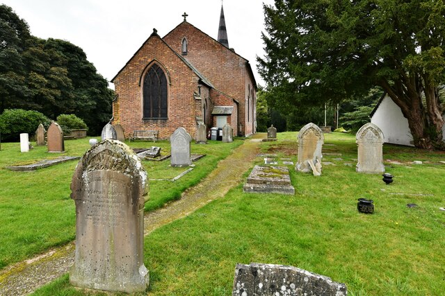
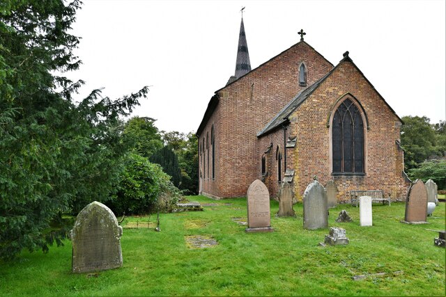
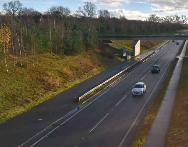
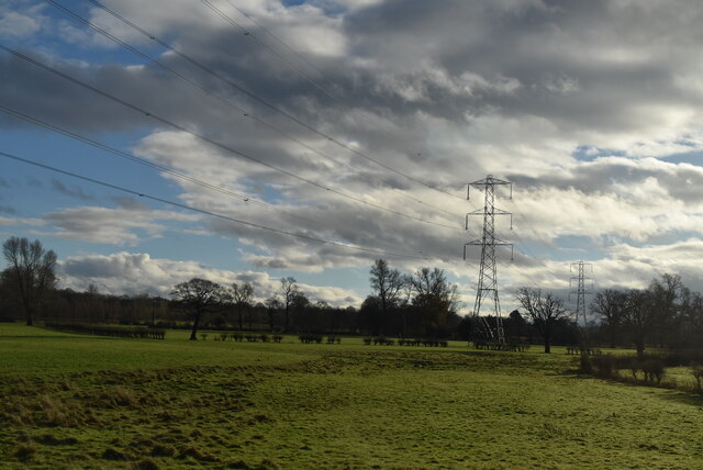
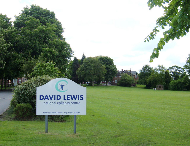
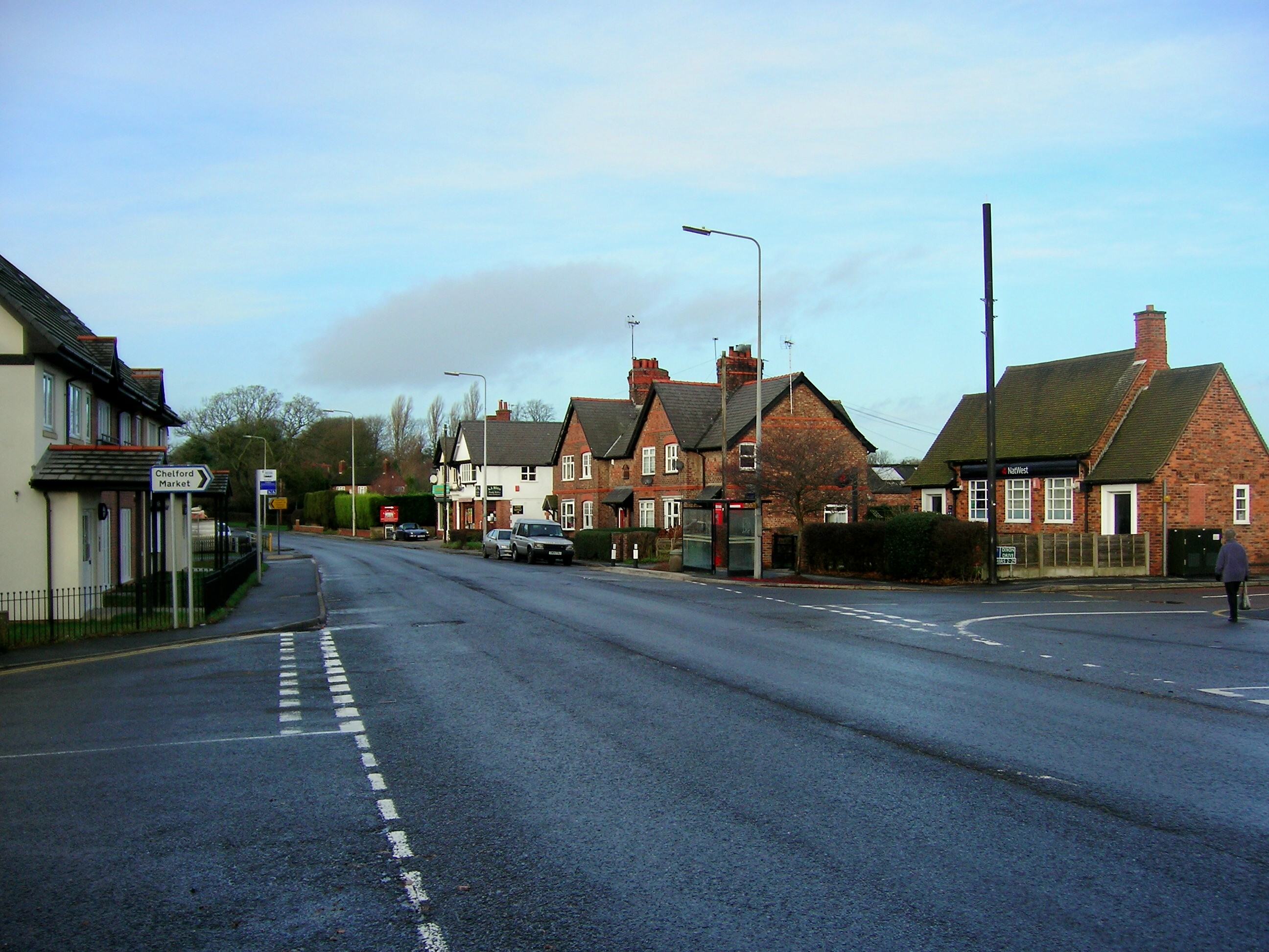
Callwood's Moss Images

Images are sourced within 2km of 53.277125/-2.2754778 or Grid Reference SJ8175. Thanks to Geograph Open Source API. All images are credited.

Chelford, St. John the Evangelist's Church: Eastern aspect
A34 The A34 is a 200 mile long major trunk road that runs from Salford to Winchester via The Potteries, Birmingham and Oxford. It is divided into two sections <span class="nowrap"><a title="http://www.sabre-roads.org.uk/wiki/index.php?title=A34" rel="nofollow ugc noopener" href="http://www.sabre-roads.org.uk/wiki/index.php?title=A34">Link</a><img style="margin-left:2px;" alt="External link" title="External link - shift click to open in new window" src="https://s1.geograph.org.uk/img/external.png" width="10" height="10"/></span> 
Wikipedia: <span class="nowrap"><a title="http://en.wikipedia.org/wiki/A34_road" rel="nofollow ugc noopener" href="http://en.wikipedia.org/wiki/A34_road">Link</a><img style="margin-left:2px;" alt="External link" title="External link - shift click to open in new window" src="https://s1.geograph.org.uk/img/external.png" width="10" height="10"/></span>
A34
The A34 is a 200 mile long major trunk road that runs from Salford to Winchester via The Potteries, Birmingham and Oxford. It is divided into two sections LinkExternal link Wikipedia: LinkExternal link
Corbishley
Corbishley
Muddy farmland
Muddy farmland
Chelford station
Chelford station
Chelford Station
Chelford Station
Winter morning on the path which runs NW to Heath Farm A winter's day on the path between Peover Lane, Chelford and Heath Farm.
Winter morning on the path which runs NW to Heath Farm
A winter's day on the path between Peover Lane, Chelford and Heath Farm.
Farmland at the eastern end of Common Farm Lane, Chelford Looking W from near the eastern end of Common Farm Lane, Chelford.
Farmland at the eastern end of Common Farm Lane, Chelford
Looking W from near the eastern end of Common Farm Lane, Chelford.
Barn at Knowsley Farm, Chelford Planning permission is being sought to change the use of this steel barn into bike/general storage associated with an office development. Soon the barn may never be seen again - except as a Geograph record.
Barn at Knowsley Farm, Chelford
Planning permission is being sought to change the use of this steel barn into bike/general storage associated with an office development. Soon the barn may never be seen again - except as a Geograph record.
West Coast Main Line, Alderley Edge View NE from where Welsh Row bridges the railway. Just over one mile south of Alderley Edge station.
West Coast Main Line, Alderley Edge
View NE from where Welsh Row bridges the railway. Just over one mile south of Alderley Edge station.
Entrance to Soss Moss Hall Private entrance protected by much security. View south looking over the gate from Nursery Lane. Soss Moss Hall (in square SJ8275) is shown as an antiquity on the 1/25,000 map.
Entrance to Soss Moss Hall
Private entrance protected by much security. View south looking over the gate from Nursery Lane. Soss Moss Hall (in square SJ8275) is shown as an antiquity on the 1/25,000 map.
Railway crossing the A535 Looking south from where the by-road Carter Lane meets Alderley Road (A535) NE of Chelford.
Railway crossing the A535
Looking south from where the by-road Carter Lane meets Alderley Road (A535) NE of Chelford.
Carter Lane, Chelford Carter Lane is an old by-way linking the A537 with the A535. A very quiet lane little used by vehicular traffic. A 10mph speed limit has been imposed.
Carter Lane, Chelford
Carter Lane is an old by-way linking the A537 with the A535. A very quiet lane little used by vehicular traffic. A 10mph speed limit has been imposed.
Pepper Street, Chelford Looking SW down the lane from its junction with the A537, Knutsford Road.
Pepper Street, Chelford
Looking SW down the lane from its junction with the A537, Knutsford Road.
To Warford Hall This stile is at the southern end of the David Lewis Epilepsy Centre where a path leads over fields towards Warford Hall, just visible by the trees.
To Warford Hall
This stile is at the southern end of the David Lewis Epilepsy Centre where a path leads over fields towards Warford Hall, just visible by the trees.
The David Lewis Epilepsy Centre The entrance is on Mill Lane , southwest of Alderley Edge. It is by far the largest of several hospitals in the locality. On the 1940s map it is marked as an epileptic colony - and is still marked as such on the current OS Street Atlas for Cheshire.
The David Lewis Epilepsy Centre
The entrance is on Mill Lane , southwest of Alderley Edge. It is by far the largest of several hospitals in the locality. On the 1940s map it is marked as an epileptic colony - and is still marked as such on the current OS Street Atlas for Cheshire.
Show me another place!

Callwood's Moss is located at Grid Ref: SJ8175 (Lat: 53.277125, Lng: -2.2754778)

Unitary Authority: Cheshire East

Police Authority: Cheshire

What 3 Words

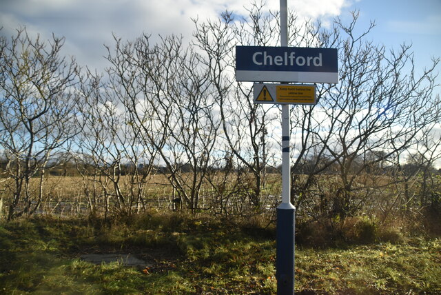
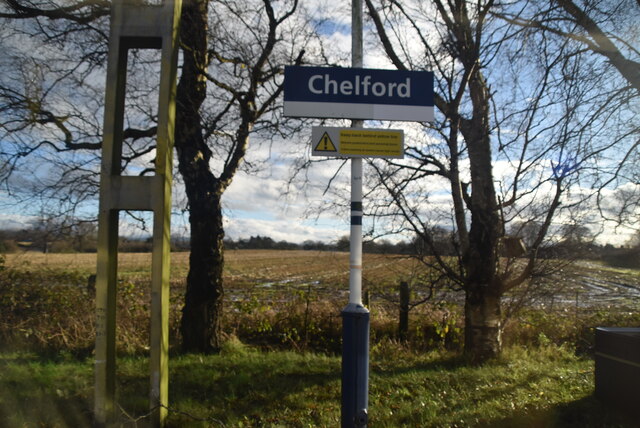
///whispers.incisions.sweetener. Near Chelford, Cheshire

Nearby Locations

Callwood's Moss

Related Wikis

Chelford rail accident

The Chelford rail accident occurred on 22 December 1894 at Chelford railway station. The stationmaster was supervising shunting operations, during which...

Chelford railway station

Chelford railway station serves the village of Chelford in Cheshire, England. The station is 14+1⁄4 miles (22.9 km) north of Crewe on the Crewe to Manchester...

Chelford

Chelford is a village and civil parish in Cheshire, England, near to the junction of the A537 and A535 roads six miles (10 km) west of Macclesfield and...

James Irlam

James Irlam & Sons Ltd (later trading as James Irlam Logistics) was a British road haulage company founded in the 1940s by James Irlam. It was owned and...

Related Videos

‘Songbird’ singing Tom down the aisle 💕

I had the privilege of singing for Tomasz as he walked down the aisle with his lovely mum to the gorgeous song 'Songbird'. I loved ...

‘Simply The Best’ Singing Ryan down the aisle 💕

SIMPLY THE BEST I had the incredible honour of singing at the breathtaking wedding of Ryan and Tom at Merrydale Manor.

GOTH 2021 - VW FESTIVAL - FULL WEEKEND!

GOTH is a family fun VW festival, on every year - bank holiday weekend. We go yearly with all the family and chill and have a ...

Nearby Amenities

Located within 500m of 53.277125,-2.2754778
Turning Circle
Lat/Long: 53.2741594/-2.2806531
Turning Circle
Lat/Long: 53.2748501/-2.280828
Turning Circle
Lat/Long: 53.2745454/-2.279874
Turning Circle
Lat/Long: 53.2751213/-2.2807571
Turning Circle
Lat/Long: 53.2753307/-2.2821386
Turning Circle
Lat/Long: 53.2760287/-2.280955
Turning Circle
Lat/Long: 53.2759694/-2.2803349
Turning Circle
Lat/Long: 53.2761924/-2.2800664
Turning Circle
Lat/Long: 53.2760715/-2.2792859
Turning Circle
Lat/Long: 53.2753669/-2.2781878
Turning Circle
Lat/Long: 53.2741525/-2.2798746
Turning Circle
Lat/Long: 53.2740871/-2.2782393
Turning Circle
Lat/Long: 53.2737136/-2.2784845
Turning Circle
Lat/Long: 53.2731084/-2.2778809
Turning Circle
Lat/Long: 53.2744578/-2.2759644
Addr Housenumber: 16
Addr Street: Clay Heyes
Lat/Long: 53.2739638/-2.2807396
Addr Housenumber: 14
Addr Street: Clay Heyes
Lat/Long: 53.2737449/-2.2804145
Addr Housenumber: 8
Addr Street: Clay Heyes
Lat/Long: 53.2736378/-2.2799715
Addr Housenumber: 22
Addr Street: Wheat Moss
Lat/Long: 53.2739564/-2.2798903
Addr Housenumber: 20
Addr Street: Wheat Moss
Lat/Long: 53.2740008/-2.2800933
Addr Housenumber: 15
Addr Street: Broomfield Close
Lat/Long: 53.2745111/-2.2812775
Addr Housenumber: 17
Addr Street: Broomfield Close
Lat/Long: 53.2745675/-2.2815597
Addr Housenumber: 7
Addr Street: Broomfield Close
Lat/Long: 53.2741541/-2.2810155
Addr Housenumber: 9
Addr Street: Broomfield Close
Lat/Long: 53.2743029/-2.280937
Addr Housenumber: 11
Addr Street: Broomfield Close
Lat/Long: 53.2744377/-2.2808577
Addr Housenumber: 1
Addr Street: Barncroft Close
Lat/Long: 53.2753643/-2.2802387
Addr Housenumber: 4
Addr Street: Barncroft Close
Lat/Long: 53.2753538/-2.2810821
Addr Housenumber: 2
Addr Street: Barncroft Close
Lat/Long: 53.2753172/-2.2807731
Addr Housenumber: 3
Addr Street: Barncroft Close
Lat/Long: 53.2752118/-2.2799085
Addr Housenumber: 5
Addr Street: Barncroft Close
Lat/Long: 53.2751293/-2.2797027
Addr Housenumber: 9
Addr Street: Clay Heyes
Lat/Long: 53.2732724/-2.2793261
Addr Housenumber: 7
Addr Street: Clay Heyes
Lat/Long: 53.2733378/-2.2792554
Addr Housenumber: 4
Addr Street: Clay Heyes
Lat/Long: 53.273645/-2.2795359
Addr Housenumber: 6
Addr Street: Clay Heyes
Lat/Long: 53.2735619/-2.2796528
Addr Housenumber: 2
Addr Street: Clay Heyes
Lat/Long: 53.2737479/-2.2793844
Addr Housenumber: 24
Addr Street: Wheat Moss
Lat/Long: 53.2739202/-2.2796689
Addr Housenumber: 1
Addr Street: Clay Heyes
Lat/Long: 53.2734931/-2.2787333
Addr Housenumber: 5
Addr Street: Clay Heyes
Lat/Long: 53.2735369/-2.2791162
Addr Housenumber: 3
Addr Street: Clay Heyes
Lat/Long: 53.2735237/-2.2789228
Addr Housenumber: 2
Addr Street: Drumblefield
Lat/Long: 53.2757306/-2.281246
Addr Housenumber: 6
Addr Street: Drumblefield
Lat/Long: 53.27622/-2.281033
Addr Housenumber: 17
Addr Street: Hitch Lowes
Lat/Long: 53.2758658/-2.2805136
Addr Housenumber: 19
Addr Street: Hitch Lowes
Lat/Long: 53.2758908/-2.2807102
Addr Housenumber: 21
Addr Street: Hitch Lowes
Lat/Long: 53.2761529/-2.280622
Addr Housenumber: 4
Addr Street: Drumblefield
Lat/Long: 53.2759291/-2.2809134
Addr Housenumber: 3
Addr Street: Hitch Lowes
Lat/Long: 53.2757567/-2.2796908
Addr Housenumber: 1
Addr Street: Hitch Lowes
Lat/Long: 53.2756257/-2.2797849
Addr Housenumber: 7
Addr Street: Hitch Lowes
Lat/Long: 53.2761143/-2.2798871
Addr Housenumber: 9
Addr Street: Hitch Lowes
Lat/Long: 53.275988/-2.2799812
Addr Housenumber: 11
Addr Street: Hitch Lowes
Lat/Long: 53.275784/-2.2801434
Addr Housenumber: 15
Addr Street: Hitch Lowes
Lat/Long: 53.2758284/-2.2803231
Addr Housenumber: 25
Addr Street: Hitch Lowes
Lat/Long: 53.2764077/-2.2803363
Addr Housenumber: 23
Addr Street: Hitch Lowes
Lat/Long: 53.2762861/-2.2804696
Addr Housenumber: 27
Addr Street: Hitch Lowes
Lat/Long: 53.2764079/-2.2799292
Addr Housenumber: 12
Addr Street: Hitch Lowes
Lat/Long: 53.2753733/-2.2785199
Addr Housenumber: 10
Addr Street: Hitch Lowes
Lat/Long: 53.2754319/-2.278718
Addr Housenumber: 9
Addr Street: Chapel Croft
Lat/Long: 53.2745314/-2.2773854
Addr Housenumber: 11
Addr Street: Chapel Croft
Lat/Long: 53.2744349/-2.2771958
Addr Housenumber: 15
Addr Street: Chapel Croft
Lat/Long: 53.2743608/-2.2770445
Addr Housenumber: 14
Addr Street: Hitch Lowes
Lat/Long: 53.2751908/-2.2781747
Addr Housenumber: 16
Addr Street: Hitch Lowes
Lat/Long: 53.2752785/-2.2779294
Addr Housenumber: 4
Addr Street: Burnt Acre
Lat/Long: 53.2749718/-2.2774023
Addr Housenumber: 6
Addr Street: Burnt Acre
Lat/Long: 53.2748812/-2.2772536
Addr Housenumber: 8
Addr Street: Burnt Acre
Lat/Long: 53.2747632/-2.2771221
Addr Housenumber: 1
Addr Street: Burnt Acre
Lat/Long: 53.2752945/-2.2775876
Addr Housenumber: 3
Addr Street: Burnt Acre
Lat/Long: 53.2754029/-2.2774692
Addr Housenumber: 5
Addr Street: Burnt Acre
Lat/Long: 53.2752168/-2.2770359
Addr Housenumber: 29
Addr Street: Chapel Croft
Lat/Long: 53.2738886/-2.2765733
Addr Housenumber: 35
Addr Street: Chapel Croft
Lat/Long: 53.2736179/-2.2769184
Addr Housenumber: 27
Addr Street: Chapel Croft
Lat/Long: 53.2740402/-2.276135
Addr Housenumber: 23
Addr Street: Chapel Croft
Lat/Long: 53.274132/-2.276429
Addr Housenumber: 17
Addr Street: Burnt Acre
Lat/Long: 53.2746744/-2.2759624
Addr Housenumber: 21
Addr Street: Burnt Acre
Lat/Long: 53.2744347/-2.2756961
Addr Housenumber: 20
Addr Street: Burnt Acre
Lat/Long: 53.2743137/-2.2758662
Addr Housenumber: 10
Addr Street: Burnt Acre
Lat/Long: 53.2746586/-2.2768806
Addr Housenumber: 18
Addr Street: Burnt Acre
Lat/Long: 53.2743801/-2.276204
Addr Housenumber: 11
Addr Street: Burnt Acre
Lat/Long: 53.2748334/-2.2763565
Addr Housenumber: 15
Addr Street: Burnt Acre
Lat/Long: 53.2747486/-2.2761428
Addr Housenumber: 19
Addr Street: Burnt Acre
Lat/Long: 53.2745561/-2.2755235
Addr Housenumber: 2
Addr Street: Hitch Lowes
Lat/Long: 53.2754681/-2.2793057
Addr Housenumber: 4
Addr Street: Hitch Lowes
Lat/Long: 53.2755867/-2.2792192
Addr Housenumber: 6
Addr Street: Hitch Lowes
Lat/Long: 53.2757101/-2.2791383
Addr Housenumber: 28
Addr Street: Hitch Lowes
Lat/Long: 53.275982/-2.2790588
Addr Housenumber: 30
Addr Street: Hitch Lowes
Lat/Long: 53.2760901/-2.2789442
Addr Housenumber: 5
Addr Street: Hitch Lowes
Lat/Long: 53.2759913/-2.2795038
Addr Housenumber: 8
Addr Street: Hitch Lowes
Lat/Long: 53.2754896/-2.2788933
Addr Housenumber: 26
Addr Street: Hitch Lowes
Lat/Long: 53.2758493/-2.2786842
Addr Housenumber: 29
Addr Street: Hitch Lowes
Lat/Long: 53.2763292/-2.2795202
Addr Housenumber: 18
Addr Street: Hitch Lowes
Lat/Long: 53.2754832/-2.2778717
Traffic Signals
Lat/Long: 53.2774336/-2.2681023
Traffic Signals
Lat/Long: 53.2778263/-2.2681458
Barrier: stile
Lat/Long: 53.2802259/-2.2714314
Barrier: stile
Lat/Long: 53.2790261/-2.2754009
Generator Method: photovoltaic
Generator Output Electricity: yes
Generator Source: solar
Generator Type: solar_photovoltaic_panel
Location: roof
Power: generator
Lat/Long: 53.2746492/-2.2795283
Generator Method: photovoltaic
Generator Output Electricity: yes
Generator Source: solar
Generator Type: solar_photovoltaic_panel
Location: roof
Power: generator
Lat/Long: 53.2742914/-2.2784504
Bus Stop
Chelford, Dixon Drive / Clay Heys
Bus: yes
Naptan AtcoCode: 0600MAIM1094
Naptan Bearing: NE
Naptan BusStopType: CUS
Naptan CommonName: Clay Heys
Naptan Crossing: Clay Heys
Naptan Indicator: cnr
Naptan Landmark: Clay Heys
Naptan LocalityName: Chelford
Naptan NaptanCode: cheadpta
Naptan ShortCommonName: Clay Heys
Naptan Street: Dixon Drive
Network: Cheshire East Council
Operator: Ansa Transport
Public Transport: platform
Source: naptan_import
Lat/Long: 53.2735842/-2.2781436
Bus Stop
Chelford, Dixon Drive / Wheat Moss
Bus: yes
Naptan AtcoCode: 0600MAIM1095
Naptan Bearing: NW
Naptan BusStopType: CUS
Naptan CommonName: Wheat Moss
Naptan Crossing: Wheat Moss
Naptan Indicator: cnr
Naptan Landmark: Wheat Moss
Naptan LocalityName: Chelford
Naptan NaptanCode: cheadptj
Naptan ShortCommonName: Wheat Moss
Naptan Street: Dixon Drive
Network: Cheshire East Council
Operator: Ansa Transport
Public Transport: platform
Source: naptan_import
Lat/Long: 53.275122/-2.279124
Crossing
Crossing: unmarked
Lat/Long: 53.2736875/-2.2772307
Crossing
Crossing: unmarked
Lat/Long: 53.2738524/-2.2775847
Noexit: yes
Lat/Long: 53.2734949/-2.2773202
Noexit: yes
Lat/Long: 53.2737508/-2.2770788
Crossing
Crossing: unmarked
Lat/Long: 53.2750779/-2.2787928
Noexit: yes
Lat/Long: 53.2742315/-2.2786271
Crossing
Crossing: unmarked
Lat/Long: 53.2754536/-2.279596
Crossing
Crossing: unmarked
Lat/Long: 53.2754944/-2.2805032
Noexit: yes
Lat/Long: 53.2750207/-2.2788913
Crossing
Crossing: unmarked
Lat/Long: 53.2755153/-2.2815415
Crossing
Crossing: unmarked
Lat/Long: 53.2756613/-2.2815756
Noexit: yes
Lat/Long: 53.2758695/-2.2822461
Noexit: yes
Lat/Long: 53.2759902/-2.2793385
Noexit: yes
Lat/Long: 53.275748/-2.2789711
Power: pole
Lat/Long: 53.2739152/-2.2703505
Power: pole
Lat/Long: 53.2735815/-2.2712517
Power: pole
Lat/Long: 53.2732239/-2.2722012
Power: pole
Lat/Long: 53.2729023/-2.2730595
The data included in this document is from www.openstreetmap.org. The data is made available under ODbL.

Have you been to Callwood's Moss?

Leave your review of Callwood's Moss below (or comments, questions and feedback).