Gorse Covert

Wood, Forest in Staffordshire Stafford

England

Gorse Covert

Crossroads at Knightley The crossing of Riley Lane and Lodge lane close to the village of Woodseaves.
Crossroads at Knightley Credit: Trevor Littlewood

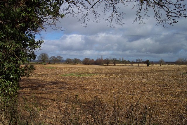
Gorse Covert is a picturesque wood located in Staffordshire, England. Covering an area of approximately 50 acres, it is a popular destination for nature enthusiasts and those seeking a peaceful outdoor retreat. The wood is situated in close proximity to the town of Stafford, making it easily accessible for both locals and tourists.

The forest is predominantly composed of various species of trees, with a significant presence of gorse shrubs, which give the wood its name. These evergreen shrubs add a vibrant splash of yellow to the landscape, especially during the spring and summer months when they are in full bloom.

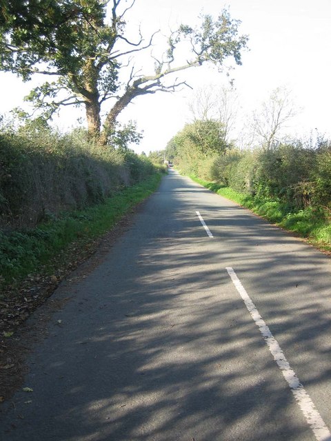
Gorse Covert offers a range of walking trails, allowing visitors to explore the natural beauty of the wood at their own pace. The trails meander through dense woodland, passing by tranquil streams and small ponds, providing ample opportunities for wildlife spotting. The wood is home to a diverse array of flora and fauna, including native bird species, squirrels, and rabbits.

For those interested in outdoor activities, Gorse Covert offers designated picnic areas and open spaces for recreational purposes. The wood is also a popular spot for birdwatching and photography, with its serene surroundings providing the perfect backdrop for capturing the beauty of nature.

Overall, Gorse Covert is a hidden gem in the heart of Staffordshire, offering a peaceful and idyllic setting for nature lovers to immerse themselves in the beauty of the natural world.

If you have any feedback on the listing, please let us know in the comments section below.
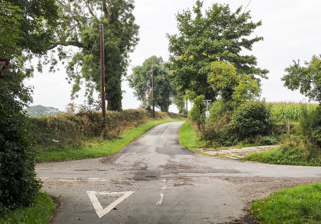
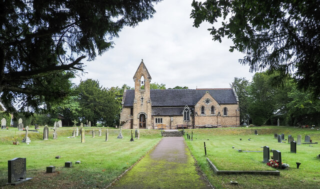
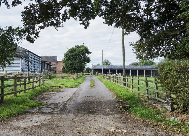
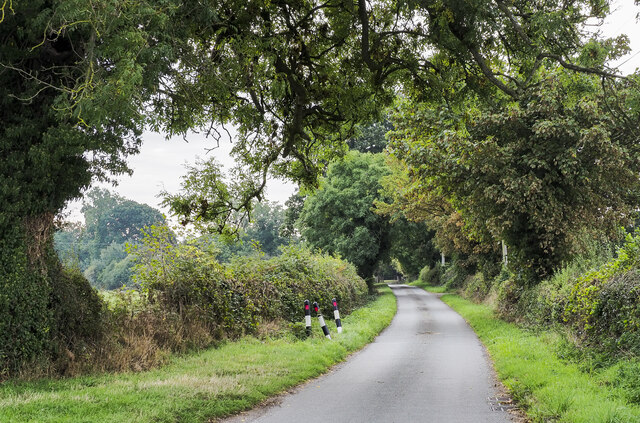
Gorse Covert Images

Images are sourced within 2km of 52.823432/-2.2727901 or Grid Reference SJ8125. Thanks to Geograph Open Source API. All images are credited.

Crossroads at Knightley The crossing of Riley Lane and Lodge lane close to the village of Woodseaves.
Crossroads at Knightley
The crossing of Riley Lane and Lodge lane close to the village of Woodseaves.
Christ Church at Knightley Christ Church is located along the B5405 close to the village at Woodseaves.
Christ Church at Knightley
Christ Church is located along the B5405 close to the village at Woodseaves.
Access road into Cash Farm Cash Farm is part of the small settlement of Whitley Heath, just north of the A519 between Woodseaves and Eccleshall.
Access road into Cash Farm
Cash Farm is part of the small settlement of Whitley Heath, just north of the A519 between Woodseaves and Eccleshall.
Road towards Ellenhall Park Farm The farm is a short distance along the minor road, hidden by the density of trees lining it.
Road towards Ellenhall Park Farm
The farm is a short distance along the minor road, hidden by the density of trees lining it.
The Cock Inn at Woodseaves
The Cock Inn at Woodseaves The A519 running through the village passing the pub. Glebelands Cottage is the nearer building.
The Cock Inn at Woodseaves
The A519 running through the village passing the pub. Glebelands Cottage is the nearer building.
Near Knightley Looking North
Christ Church, Knightley
Ruined Tower of Ranton Abbey from Bridleway The tower is all that remains of Ranton Abbey 

The house next door was badly damaged by fire during the Second World War whilst occupied by Dutch soldiers.
Ruined Tower of Ranton Abbey from Bridleway
The tower is all that remains of Ranton Abbey The house next door was badly damaged by fire during the Second World War whilst occupied by Dutch soldiers.
Whitley Heath Cash Lane leads from the A519 down through Whitley Heath to Garmelow.
Whitley Heath
Cash Lane leads from the A519 down through Whitley Heath to Garmelow.
Lodge Farm Looking across Ellenhall Park toward Lodge Farm
Lodge Farm
Looking across Ellenhall Park toward Lodge Farm
Public Telephone Box A rather battered telephone box on the lane up to Knightley.
Public Telephone Box
A rather battered telephone box on the lane up to Knightley.
Farmhouse at Lower Knightley.
Christ Church, Knightley This shot was taken mid afternoon so the sunshine really warms up the church facade.
Christ Church, Knightley
This shot was taken mid afternoon so the sunshine really warms up the church facade.
Gable end view of Christ Church An inscription in the gable end reads:

"Christ Church, Knightley, Parish of Gnosall. The foundation stone of this Church was laid on the 14th January in the Year of our Lord 1840 by the Right Hon. Louisa Catherine Countess of Lichfield. It was open for divine worship on July 28th AD 1841. It cost Seven Hundred Pounds and contains 200 Sittings half of which are free for ever.   'Feed my Sheep'"
Gable end view of Christ Church
An inscription in the gable end reads: "Christ Church, Knightley, Parish of Gnosall. The foundation stone of this Church was laid on the 14th January in the Year of our Lord 1840 by the Right Hon. Louisa Catherine Countess of Lichfield. It was open for divine worship on July 28th AD 1841. It cost Seven Hundred Pounds and contains 200 Sittings half of which are free for ever. 'Feed my Sheep'"
Stained Glass Window, Christ Church As the church was locked we peered through the leaded windows and saw this view of the stained glass windows.
Stained Glass Window, Christ Church
As the church was locked we peered through the leaded windows and saw this view of the stained glass windows.
Christ Church  Burial Grounds A view across the churchyard taken from the gable end of the church.
Christ Church Burial Grounds
A view across the churchyard taken from the gable end of the church.
Stained Glass Window A close up of the stone mullions and brick arches over the stained glass windows at Christ Church.
Stained Glass Window
A close up of the stone mullions and brick arches over the stained glass windows at Christ Church.
Show me another place!

Gorse Covert is located at Grid Ref: SJ8125 (Lat: 52.823432, Lng: -2.2727901)

Administrative County: Staffordshire

District: Stafford

Police Authority: Staffordshire

What 3 Words

///contracting.reinforce.onto. Near Eccleshall, Staffordshire

Nearby Locations

Gorse Covert

Related Wikis

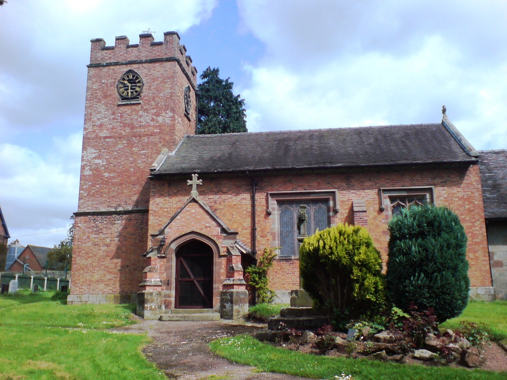
Knightley, Staffordshire

Knightley is a hamlet and former manor in Staffordshire, England. It is situated near the villages of Gnosall and Woodseaves, now on the B5405 road. There...

Woodseaves

Woodseaves is a village in Staffordshire, England. It lies in the civil parish of High Offley and is situated on the A519 (Newport-Newcastle-under-Lyme...
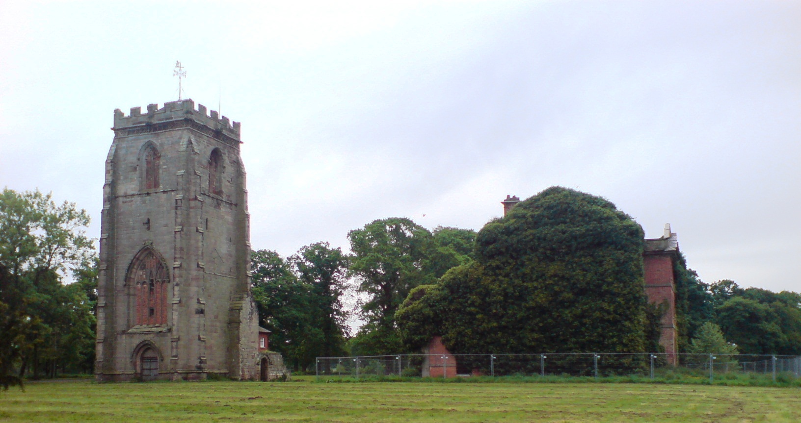
Ranton Abbey

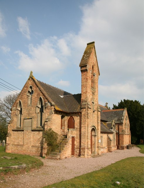
Ranton Abbey or Ranton Priory was an Augustinian Priory in Ranton, Staffordshire, England, built c.1150 by Robert fitz Noel of Ellenhall. The priory flourished...

Abbey House, Ranton

Abbey House is an early 19th-century ruined stately home in Ranton, Staffordshire, England. == History == The red-brick Regency house was built in 1820...

Loynton Moss

Loynton Moss is a nature reserve of the Staffordshire Wildlife Trust, near the village of Woodseaves, in Staffordshire, England. It is adjacent to the...

Loynton

Loynton is a hamlet on the A519 near the villages of Norbury, and Woodseaves in Staffordshire, England. It lies in the civil parish of Norbury. Loynton...

Ellenhall

Ellenhall is a small Staffordshire village roughly 2.5 miles south of Eccleshall originally comprising part of the extensive estates of the Earl of Lichfield...

Copmere End

Copmere End is a small settlement in Staffordshire, England. It is 2 kilometres (1 mi) west of Eccleshall where the population taken for the 2011 census...

Nearby Amenities

Located within 500m of 52.823432,-2.2727901
Bus Stop
Gorse Lane
Bus: yes
Naptan AtcoCode: 3800C705500
Naptan Bearing: E
Naptan CommonName: Gorse Lane
Naptan Indicator: Opp
Naptan Landmark: Gorse Lane
Naptan Street: Stafford Rd
Naptan Verified: no
Public Transport: platform
Source: naptan_import
Lat/Long: 52.8217497/-2.2747437
Barrier: yes
Lat/Long: 52.8259477/-2.2782107
Stop
Direction: backward
Stop: minor
Lat/Long: 52.8217531/-2.2752036
The data included in this document is from www.openstreetmap.org. The data is made available under ODbL.

Have you been to Gorse Covert?

Leave your review of Gorse Covert below (or comments, questions and feedback).