Blacklands Plantation

Wood, Forest in Staffordshire South Staffordshire

England

Blacklands Plantation

Staffordshire Way View The view of Crab Lane near Highgate Common Country Park.
Staffordshire Way View Credit: Gordon Griffiths

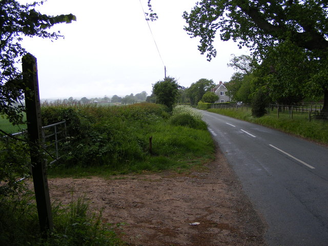
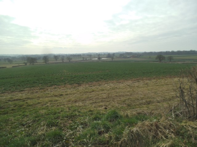
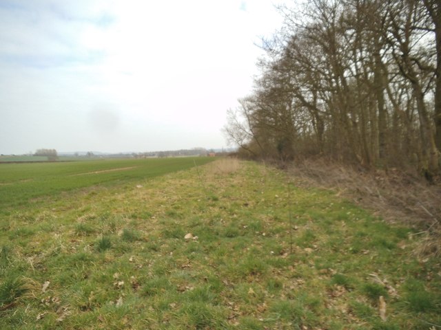
Blacklands Plantation is a sprawling woodland area located in Staffordshire, England. Situated near the rural village of Wood, this vast forest covers an expansive area of approximately 500 hectares. The plantation is known for its dense and diverse collection of trees, making it an ideal location for nature enthusiasts and outdoor enthusiasts alike.

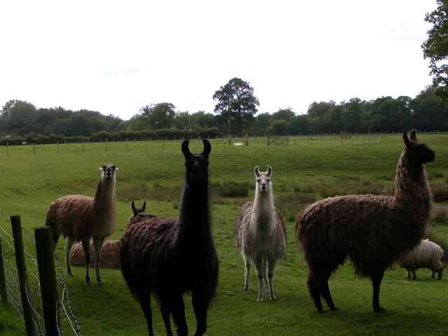
The woodland is primarily composed of a mix of broadleaf and coniferous trees, including oak, beech, pine, and spruce. These trees provide a rich habitat for a wide variety of wildlife, including deer, foxes, badgers, and numerous bird species. The plantation is particularly renowned for its birdwatching opportunities, attracting avid birdwatchers from far and wide.

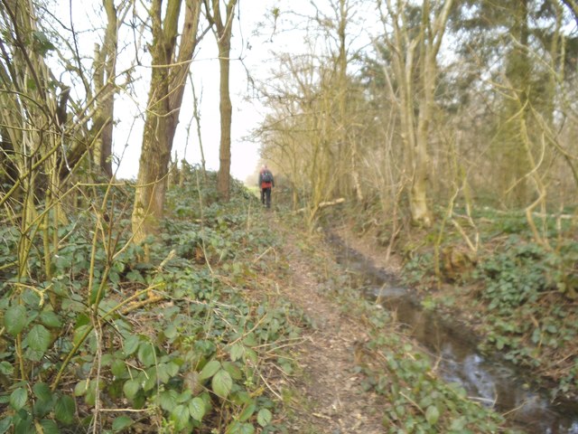
Blacklands Plantation offers a range of recreational activities for visitors to enjoy. There are several well-maintained walking trails that meander through the forest, offering picturesque views and opportunities for peaceful strolls. The plantation also features designated picnic areas, providing a perfect spot for visitors to relax and enjoy the tranquility of the surroundings.

In addition to its natural beauty, Blacklands Plantation has a rich historical significance. The woodland was once part of the extensive Staffordshire coalfields and played a crucial role in the region's industrial past. Remnants of the mining activities can still be seen in certain areas of the woodland, adding an intriguing historical dimension to the plantation.

Overall, Blacklands Plantation in Staffordshire is a captivating destination that offers a unique blend of natural beauty, recreational opportunities, and historical significance. Whether one is seeking a peaceful escape or an outdoor adventure, this woodland is a must-visit for nature lovers and history enthusiasts alike.

If you have any feedback on the listing, please let us know in the comments section below.

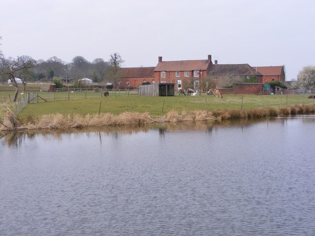
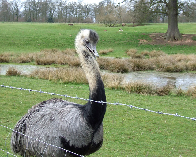
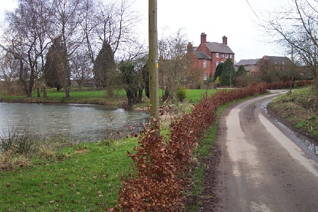
Blacklands Plantation Images

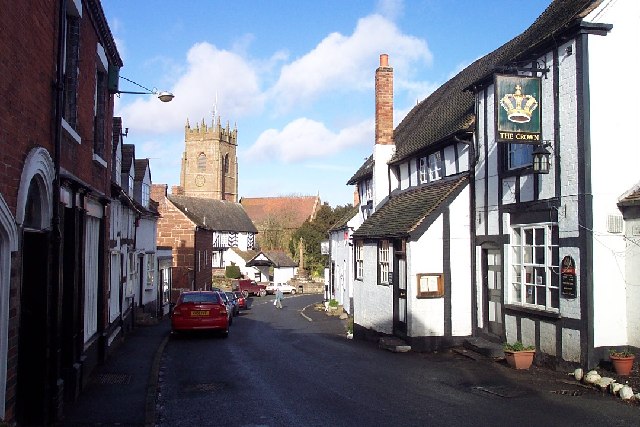
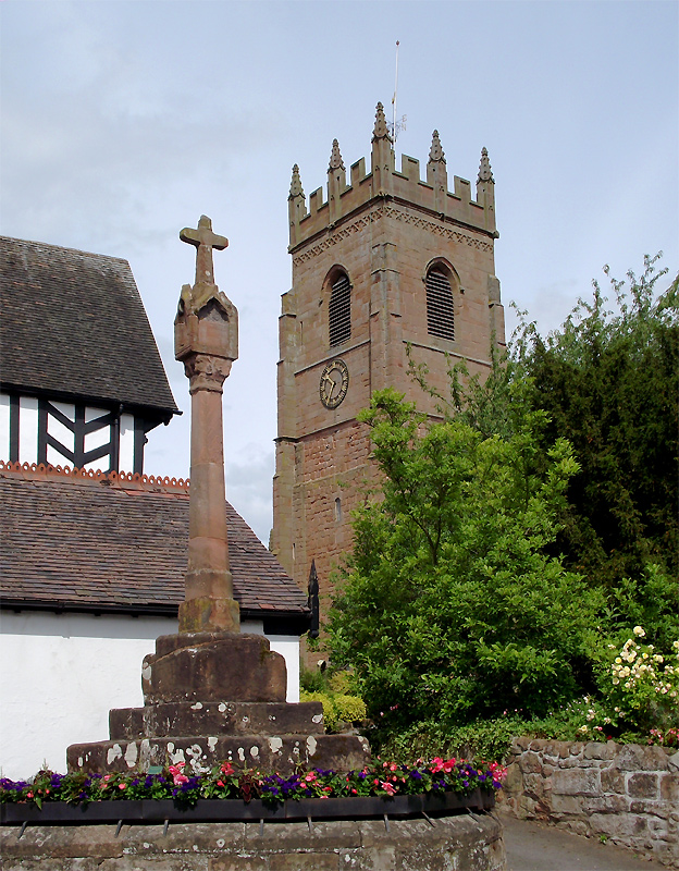
Images are sourced within 2km of 52.517841/-2.2709949 or Grid Reference SO8191. Thanks to Geograph Open Source API. All images are credited.

Staffordshire Way View The view of Crab Lane near Highgate Common Country Park.
Staffordshire Way View
The view of Crab Lane near Highgate Common Country Park.
Llama Herd The view by Mere Hall from the Staffordshire Way.
Llama Herd
The view by Mere Hall from the Staffordshire Way.
Highgate View The view on the Staffordshire Way path near Highgate Common in Staffordshire.
Highgate View
The view on the Staffordshire Way path near Highgate Common in Staffordshire.
Stream Path The view of the path alongside Mere Copse in Staffordshire.
Stream Path
The view of the path alongside Mere Copse in Staffordshire.
Woodland Edge The view of Mere Copse in Staffordshire.
Woodland Edge
The view of Mere Copse in Staffordshire.
Mere Hall The view across the lake to the Hall near Bobbington.
Mere Hall
The view across the lake to the Hall near Bobbington.
Rhea Grazing, Mere Hall, Staffordshire Most of the area is used for grazing or crop growing. Today, in this field, there was a family of four rheas; this male (?) was not too keen on me. Also grazing were several llamas.
Rhea Grazing, Mere Hall, Staffordshire
Most of the area is used for grazing or crop growing. Today, in this field, there was a family of four rheas; this male (?) was not too keen on me. Also grazing were several llamas.
Cattle at Salters Park Farm, near Bobbington, Staffordshire Photograph taken from the public footpath which runs north-east flanking the farm.
Cattle at Salters Park Farm, near Bobbington, Staffordshire
Photograph taken from the public footpath which runs north-east flanking the farm.
Start of Footpath, Salter's Park Farm, Staffordshire The footpath flanks the farm (high fence in dilapidated condition) as it passes through Mere Copse towards open fields.
Start of Footpath, Salter's Park Farm, Staffordshire
The footpath flanks the farm (high fence in dilapidated condition) as it passes through Mere Copse towards open fields.
Public Footpath - Grazing Land - Salter's Park Farm The footpath, which appears to be only occasionally walked, leads across the field flanking the copse on the right. Flat grazing land is widespread in the area.
Public Footpath - Grazing Land - Salter's Park Farm
The footpath, which appears to be only occasionally walked, leads across the field flanking the copse on the right. Flat grazing land is widespread in the area.
Mere Hall, near Bobbington, Staffordshire Although this is called Mere Hall, it appears to be less ancient than the neighbouring Mere Farm. Grazing land attached to it feeds llamas and rheas, among other exotic creatures. I was able to buy my supply of quince jelly, hedgerow jelly, and various "real" mustards from a hutch by the (Staffordshire Way) footpath here.
Mere Hall, near Bobbington, Staffordshire
Although this is called Mere Hall, it appears to be less ancient than the neighbouring Mere Farm. Grazing land attached to it feeds llamas and rheas, among other exotic creatures. I was able to buy my supply of quince jelly, hedgerow jelly, and various "real" mustards from a hutch by the (Staffordshire Way) footpath here.
Pond, Meadow, Oak Tree and Rhea!! Mere Hall, Staffordshire Most of the land in the square is flattish grazing land, and liable to become waterlogged, reflected in the frequency of the word "mere" in local place names. (The woodland on the skyline is Mere Copse). In this field today I counted four rheas and about six llamas.
Pond, Meadow, Oak Tree and Rhea!! Mere Hall, Staffordshire
Most of the land in the square is flattish grazing land, and liable to become waterlogged, reflected in the frequency of the word "mere" in local place names. (The woodland on the skyline is Mere Copse). In this field today I counted four rheas and about six llamas.
Stagnant Pool near Bobbington in Staffordshire This brackish pool near Alder Farm is in the middle of open fields used for grass or cereal crops.
Stagnant Pool near Bobbington in Staffordshire
This brackish pool near Alder Farm is in the middle of open fields used for grass or cereal crops.
Lovely Crops; Can't see the Footpath. Bobbington The public footpath, undefined but signposted,  has just skirted the edge of the field, and now strikes straight across the cereal crop.
Lovely Crops; Can't see the Footpath. Bobbington
The public footpath, undefined but signposted, has just skirted the edge of the field, and now strikes straight across the cereal crop.
Gate to Staffordshire Way The Way leaves Crab Lane near Highgate Common
Gate to Staffordshire Way
The Way leaves Crab Lane near Highgate Common
Reservoir View View from Staffordshire Way near Highgate Common
Reservoir View
View from Staffordshire Way near Highgate Common
Broadfields Farm
Broadfields Farm
Mere Hall & Oilseed Rape
Show me another place!

Blacklands Plantation is located at Grid Ref: SO8191 (Lat: 52.517841, Lng: -2.2709949)

Administrative County: Staffordshire

District: South Staffordshire

Police Authority: Staffordshire

What 3 Words

///camcorder.novelists.built. Near Wombourn, Staffordshire

Nearby Locations

Blacklands Plantation

Related Wikis

Wolverhampton Airport

Wolverhampton Halfpenny Green Airport (ICAO: EGBO), formerly Halfpenny Green Airport and Wolverhampton Business Airport, locally Bobbington Airport, is...

Bobbington

Bobbington is a village and civil parish in the South Staffordshire district of Staffordshire, England, about 5 miles (8.0 km) west of Wombourne. According...

Mid Severn Sandstone Plateau

The Mid Severn Sandstone Plateau is a rural landscape and one of the natural regions of central England, straddling the border between the counties of...

Highgate Common

Highgate Common is a Staffordshire Wildlife Trust reserve containing a mix of heathland and woodland. It is about 129 hectares or 320 acres in size. The...

Beobridge

Beobridge is a small, scattered hamlet in Shropshire, England. It is in the civil parish of Claverley. Its name probably comes from Old English beo, "bee...

Claverley

Claverley is a village and civil parish in east Shropshire, England. The parish also includes the hamlets of Beobridge, Hopstone, Upper Aston, Ludstone...

All Saints Church, Claverley

All Saints Church is in the village of Claverley, Shropshire, England. It is an active Anglican parish church in the deanery of Bridgnorth, the archdeaconry...

Six Ashes

Six Ashes is a small village in Shropshire, England, on the Shropshire side of the border with Staffordshire. == See also == Tripartite Indenture ��2...

Nearby Amenities

Located within 500m of 52.517841,-2.2709949
The data included in this document is from www.openstreetmap.org. The data is made available under ODbL.

Have you been to Blacklands Plantation?

Leave your review of Blacklands Plantation below (or comments, questions and feedback).