Birchen Grove

Wood, Forest in Worcestershire Malvern Hills

England

Birchen Grove

Middle Lightwood Farm along Lightwood Lane
Middle Lightwood Farm along Lightwood Lane Credit: Mat Fascione

Birchen Grove is a small woodland area located in Worcestershire, England. Situated in the heart of the county, it is part of the larger Worcestershire Woodlands and Forests. Covering an area of approximately 10 acres, Birchen Grove is known for its diverse range of trees and wildlife.

The woodland is primarily composed of birch trees, hence its name, but also features a variety of other tree species such as oak, beech, and sycamore. This mix of deciduous trees creates a stunning display of colors during the autumn months, attracting many nature enthusiasts and photographers.

Birchen Grove is a popular destination for locals and visitors alike, offering a peaceful retreat from the hustle and bustle of city life. The woodland is crisscrossed by well-maintained walking trails, allowing visitors to explore its beauty at their own pace. These trails also provide access to various points of interest, including a small pond where visitors can observe a range of aquatic plants and wildlife.

For avid birdwatchers, Birchen Grove is a haven as it attracts a variety of bird species throughout the year. From woodpeckers to owls, the woodland is a prime spot for observing and listening to the melodies of different avian creatures.

Managed by the local wildlife trust, Birchen Grove is committed to preserving and protecting its natural habitat. Conservation efforts include regular tree maintenance, controlled burning, and the creation of nesting boxes to support the local wildlife population.

Overall, Birchen Grove is a delightful woodland retreat that offers visitors the chance to immerse themselves in the beauty of nature while enjoying the tranquility of Worcestershire's countryside.

If you have any feedback on the listing, please let us know in the comments section below.

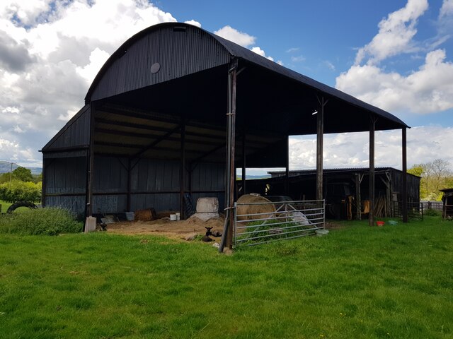
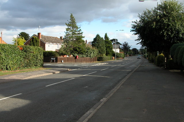
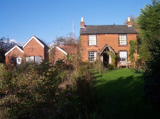
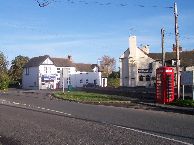
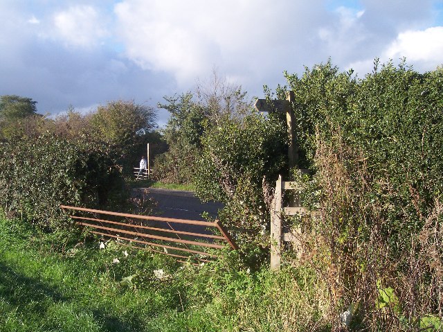
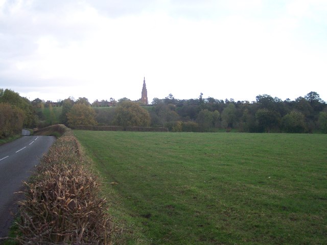
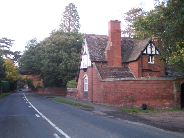
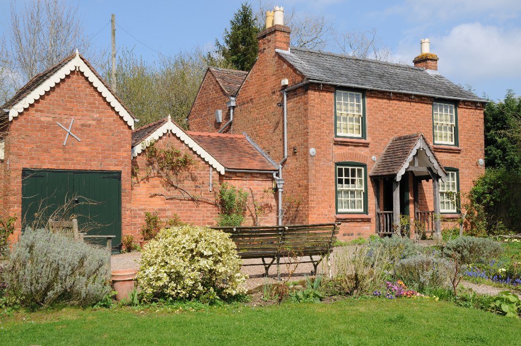
Birchen Grove Images

Images are sourced within 2km of 52.205085/-2.2697449 or Grid Reference SO8156. Thanks to Geograph Open Source API. All images are credited.

Middle Lightwood Farm along Lightwood Lane
Pasture by Broadheath North of Ankerdine Road.
Pasture by Broadheath
North of Ankerdine Road.
Ankerdine Road
Ankerdine Road
The Malvern Hills from Middle Lightwood Farm
Dutch Barn at Middle Lightwood Farm
Inside an old cowshed, Middle Lightwood Farm Note a swallows nest.
Inside an old cowshed, Middle Lightwood Farm
Note a swallows nest.
Rear of Middle Lightwood Farm
Hallow Road, Worcester The A443 Hallow Road, approaching Worcester from the north-west
Hallow Road, Worcester
The A443 Hallow Road, approaching Worcester from the north-west
Temple Laugherne Farm from Dines Green Horticultural farm on the edge of urban Worcester.
Temple Laugherne Farm from Dines Green
Horticultural farm on the edge of urban Worcester.
Roundabout at the western end of Worcester's southern link road In the background Worcester can be seen.
Roundabout at the western end of Worcester's southern link road
In the background Worcester can be seen.
Elgar's Birthplace. Sir Edward Elgar was born here 2 June 1857. Now part of a fascinating museum.
see <span class="nowrap"><a title="http://www.elgarfoundation.org/" rel="nofollow ugc noopener" href="http://www.elgarfoundation.org/">Link</a><img style="margin-left:2px;" alt="External link" title="External link - shift click to open in new window" src="https://s1.geograph.org.uk/img/external.png" width="10" height="10"/></span>
Elgar's Birthplace.
Sir Edward Elgar was born here 2 June 1857. Now part of a fascinating museum. see LinkExternal link
Broadheath Common In Upper Broadheath. Taken from near to Bell Lane looking east.
Broadheath Common
In Upper Broadheath. Taken from near to Bell Lane looking east.
Lower Broadheath Village Centre At the T junction there is the Broadheath Post Office and Stores and also the Bell public house.
Lower Broadheath Village Centre
At the T junction there is the Broadheath Post Office and Stores and also the Bell public house.
Footpath crossing the B4204 Between Laughernfield and Payes Heath Farm the footpath from Ambrose Farm to Eastbury Manor crosses.
Footpath crossing the B4204
Between Laughernfield and Payes Heath Farm the footpath from Ambrose Farm to Eastbury Manor crosses.
Lower Broadheath Church Christchurch with a sundial above the porch.
Lower Broadheath Church
Christchurch with a sundial above the porch.
Dilapidated Barn, Peachley Court Farm A corrugated iron roofed barn in a wonderful state of decay.
An email received suggested : "Destroyed by fire, children suspect arsonists"
Dilapidated Barn, Peachley Court Farm
A corrugated iron roofed barn in a wonderful state of decay. An email received suggested : "Destroyed by fire, children suspect arsonists"
Hallow Church Spire Looking east across the fields and the steeply sided valley to the spire of the church of St Philip and St James.
Hallow Church Spire
Looking east across the fields and the steeply sided valley to the spire of the church of St Philip and St James.
Parkfield Lodge Looking north up the A443 St. Johns area of Worcester to Hallow road
Parkfield Lodge
Looking north up the A443 St. Johns area of Worcester to Hallow road
Show me another place!

Birchen Grove is located at Grid Ref: SO8156 (Lat: 52.205085, Lng: -2.2697449)

Administrative County: Worcestershire

District: Malvern Hills

Police Authority: West Mercia

What 3 Words

///modifies.extend.probable. Near Lower Broadheath, Worcestershire

Related Wikis

Lower Broadheath

Lower Broadheath is a village and civil parish in the Malvern Hills district of Worcestershire, England. According to the 2011 census it had a population...

Elgar Birthplace Museum

The Firs in Lower Broadheath, Worcestershire, England was the birthplace of Edward Elgar. The cottage now houses a museum administered by the National...

Upper Broadheath

Upper Broadheath is an area in the village of Lower Broadheath. It is not a separate village. Worcestershire, England. It is in the Malvern Hills District...

Dines Green

Dines Green is a suburb of Worcester in England, and lies in the St. John ward in the west of the city . Initially developed as council housing, the estate...

1 and 2 Tai Cochion

1 and 2 Tai Cochion consists of a pair of joined cottages in the village of Nannerch, Flintshire, Wales. Each of the cottages is designated by Cadw as...

University of Worcester

The University of Worcester is a public research university, based in Worcester, England. Worcester is the only university based in the counties of Worcestershire...

Hallow, Worcestershire

Hallow is a village and civil parish beside the River Severn, about 2 miles (3.2 km) north-west of Worcester in Worcestershire. The village is on the A443...

Boughton Halt railway station

Boughton Halt railway station was a station in St Johns, Worcester, Worcestershire, England. The station was opened on 31 March 1924 and closed on 5 April...

Nearby Amenities

Located within 500m of 52.205085,-2.2697449
Nursery
Naptan AtcoCode: 2000G502072
Naptan Bearing: NW
Naptan BusStopType: CUS
Naptan CommonName: Nursery
Naptan Indicator: Opp
Naptan Landmark: Lower Broadheath Nursery
Naptan NaptanCode: wocgdmpg
Naptan Street: B4204
Naptan Verified: no
Source: naptan_import
Lat/Long: 52.2089736/-2.2729969
Bus Stop
Lower Broadheath- B4024- Oaklands
Bus: yes
Naptan AtcoCode: 2000G502073
Naptan Bearing: SE
Naptan CommonName: Lower Broadheath- B4024- Oaklands
Naptan Indicator: Adj
Naptan Landmark: Laughern Cottages
Naptan NaptanCode: wocgdmpj
Naptan Street: Lovington Lane
Naptan Verified: no
Public Transport: platform
Source: naptan_import
Lat/Long: 52.2076063/-2.2694031
Bus Stop
Lower Broadheath- B4024- Oaklands
Bus: yes
Naptan AtcoCode: 2000G502074
Naptan Bearing: NW
Naptan CommonName: Lower Broadheath- B4024- Oaklands
Naptan Indicator: Adj
Naptan Landmark: Laughern Cottages
Naptan NaptanCode: wocgmpap
Naptan Street: Lovington Lane
Naptan Verified: no
Public Transport: platform
Source: naptan_import
Lat/Long: 52.2075493/-2.2694233
Bus Stop
Lovington Lane
Bus: yes
Naptan AtcoCode: 2000G652005
Naptan Bearing: NW
Naptan CommonName: Lovington Lane
Naptan Crossing: Lovington Lane
Naptan Indicator: Opp
Naptan Landmark: Laughern Cottages
Naptan NaptanCode: wocdptma
Naptan Street: B4204
Naptan Verified: no
Public Transport: platform
Source: naptan_import
Lat/Long: 52.206993/-2.2663262
Stile
Barrier: stile
Lat/Long: 52.2046454/-2.2748915
Stile
Barrier: stile
Lat/Long: 52.2026529/-2.2743223
Stile
Barrier: stile
Lat/Long: 52.2020781/-2.2745179
Barrier: stile
Lat/Long: 52.2017013/-2.2740729
Barrier: stile
Lat/Long: 52.2040348/-2.2645781
Power: pole
Lat/Long: 52.2075993/-2.2638139
The Knoll Broadheath
Power: pole
Transformer: distribution
Voltage Primary: 11000
Lat/Long: 52.2076469/-2.2661434
Power: pole
Lat/Long: 52.2062716/-2.2759348
Power: pole
Lat/Long: 52.2049578/-2.2769862
Location Transition: yes
Power: pole
Lat/Long: 52.2075007/-2.2749974
Broadheath Chilled Foods
Power: transformer
Transformer: distribution
Voltage Primary: 11000
Lat/Long: 52.2050943/-2.2629804
Vamix
Power: transformer
Transformer: distribution
Voltage Primary: 11000
Lat/Long: 52.2046796/-2.2643356
Oldbury Farm Pond
Location Transition: yes
Power: pole
Transformer: distribution
Voltage Primary: 11000
Lat/Long: 52.2014261/-2.2656868
Location Transition: yes
Power: pole
Lat/Long: 52.2011084/-2.2665873
The data included in this document is from www.openstreetmap.org. The data is made available under ODbL.

Have you been to Birchen Grove?

Leave your review of Birchen Grove below (or comments, questions and feedback).