The Box Wood

Wood, Forest in Gloucestershire Cotswold

England

The Box Wood

In Ozleworth Bottom This is looking past a benchmark <a href="https://www.geograph.org.uk/photo/6935226">ST8092 : Benchmark in Ozleworth Bottom</a> on the right hand of two posts at the eastern end of Ozleworth Bottom to a flat area (extending into the next square east) that looks as if it was an area of water at some time in the recent past. Unlike a more obvious benchmark close-by <a href="https://www.geograph.org.uk/photo/6603653">ST8092 : Benchmark by a track</a>, this one has recently been made more accessible by the absence of trees cut down because of ash dieback.
In Ozleworth Bottom Credit: Neville Goodman

The Box Wood is a picturesque forest located in Gloucestershire, England. Spread across a vast area, this woodland is renowned for its dense growth of boxwood trees (Buxus sempervirens), from which it derives its name. The forest is a popular destination for nature lovers, hikers, and photographers due to its natural beauty and tranquil atmosphere.

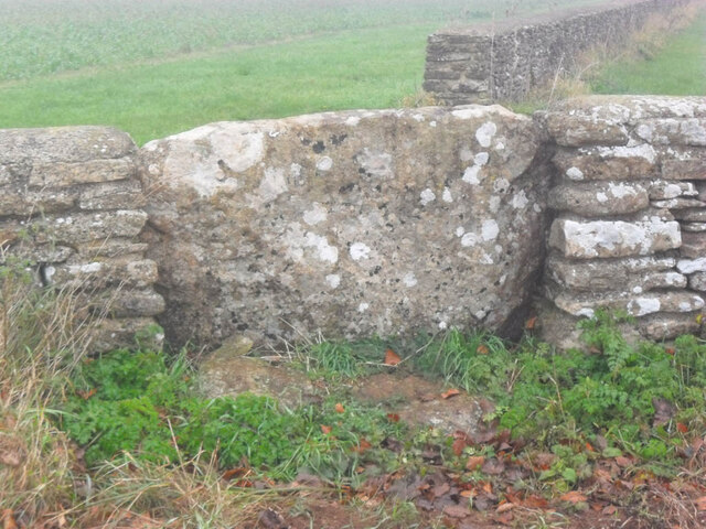
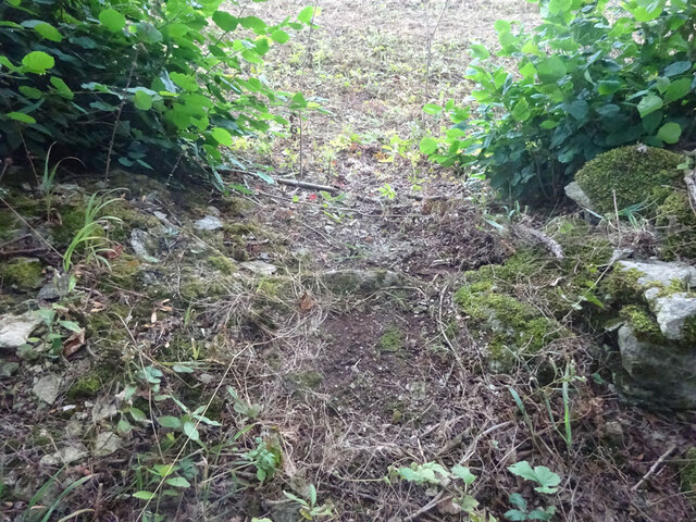
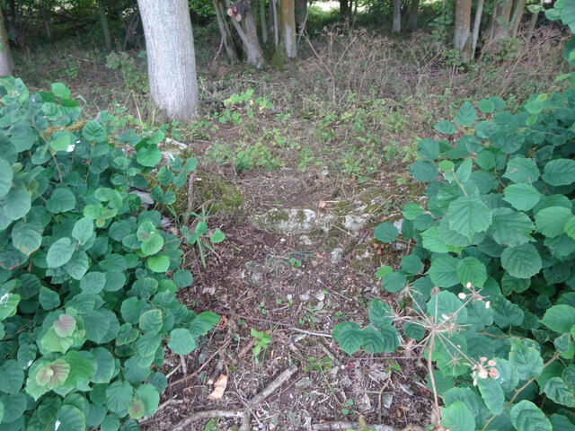
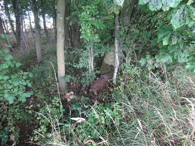
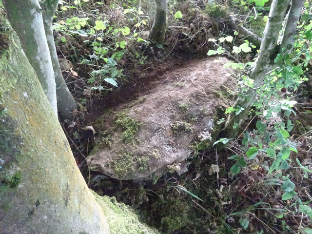
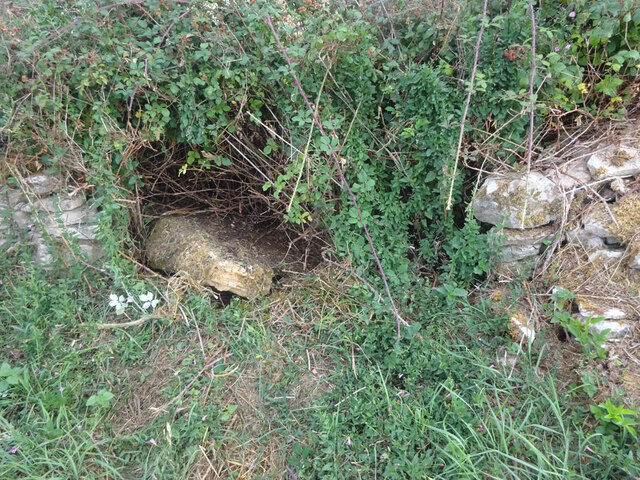
The Box Wood is characterized by its lush green vegetation, with the boxwood trees dominating the landscape. These evergreen trees, known for their dense foliage and compact growth, create a unique and enchanting ambiance within the forest. The forest floor is covered in a thick carpet of moss and ferns, adding to the overall allure of the woodland.

The rich biodiversity of The Box Wood makes it a haven for various flora and fauna. Visitors may come across a diverse range of bird species, such as woodpeckers, robins, and thrushes, as they explore the forest. Squirrels, rabbits, and other small mammals can also be spotted darting among the trees.

The Box Wood offers several walking trails and footpaths, allowing visitors to immerse themselves in the natural surroundings. These paths meander through the forest, taking hikers past bubbling brooks, hidden ponds, and ancient trees. The tranquil atmosphere and the beauty of the woodland provide a perfect escape from the hustle and bustle of everyday life.

Overall, The Box Wood is a captivating forest in Gloucestershire, offering visitors a chance to connect with nature and experience the serenity of a truly enchanting woodland.

If you have any feedback on the listing, please let us know in the comments section below.
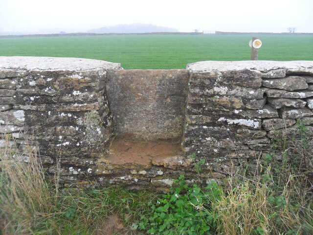
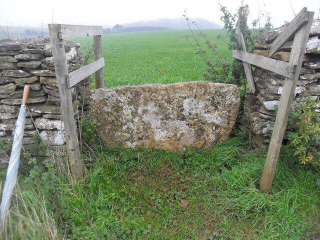
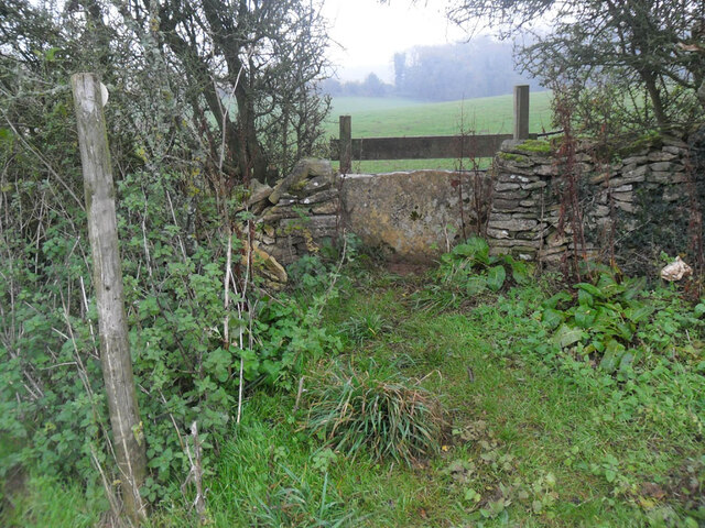
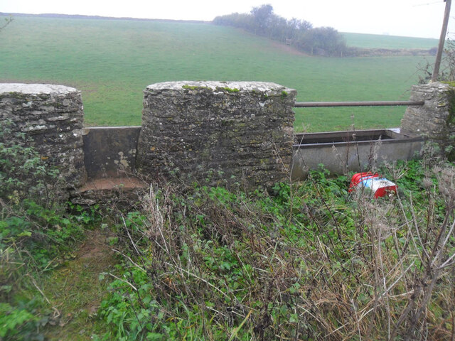
The Box Wood Images

Images are sourced within 2km of 51.632025/-2.2665167 or Grid Reference ST8192. Thanks to Geograph Open Source API. All images are credited.

In Ozleworth Bottom This is looking past a benchmark <a href="https://www.geograph.org.uk/photo/6935226">ST8092 : Benchmark in Ozleworth Bottom</a> on the right hand of two posts at the eastern end of Ozleworth Bottom to a flat area (extending into the next square east) that looks as if it was an area of water at some time in the recent past. Unlike a more obvious benchmark close-by <a href="https://www.geograph.org.uk/photo/6603653">ST8092 : Benchmark by a track</a>, this one has recently been made more accessible by the absence of trees cut down because of ash dieback.
In Ozleworth Bottom
This is looking past a benchmark ST8092 : Benchmark in Ozleworth Bottom on the right hand of two posts at the eastern end of Ozleworth Bottom to a flat area (extending into the next square east) that looks as if it was an area of water at some time in the recent past. Unlike a more obvious benchmark close-by ST8092 : Benchmark by a track, this one has recently been made more accessible by the absence of trees cut down because of ash dieback.
Benchmark in Ozleworth Bottom This benchmark (OS description: STO P E SIDE TK S SIDE FOOTPATH) needed a bit of gardening to reveal it, even though a number of trees near it had been removed <a href="https://www.geograph.org.uk/photo/6935219">ST8192 : In Ozleworth Bottom</a>.
Benchmark in Ozleworth Bottom
This benchmark (OS description: STO P E SIDE TK S SIDE FOOTPATH) needed a bit of gardening to reveal it, even though a number of trees near it had been removed ST8192 : In Ozleworth Bottom.
Old Milestone, A46 In the parish of Boxwell With Leighterton, on the SE side of the road, somewhat higher than the road. Under the missing plate recess there is a cut Benchmark representing 170.4 m ASL.

Inscription (was): Gloucester 20 / Bath 18

Milestone Society National ID: GL_BAGL18
Old Milestone, A46
In the parish of Boxwell With Leighterton, on the SE side of the road, somewhat higher than the road. Under the missing plate recess there is a cut Benchmark representing 170.4 m ASL. Inscription (was): Gloucester 20 / Bath 18 Milestone Society National ID: GL_BAGL18
Milestone, A46, Lasborough On the SE verge just North of the Lasborough turn. Plate missing. Cut Benchmark representing 192.8 m ASL. MS erected by the Coldharbour District turnpike trust in the 19th century. Map describes mileage as "Gloucester 18 / Bath 20".

Inscription (was): BATH / XX / GLOUᴿ / XVIII

Milestone Society National ID: GL_BAGL20
Milestone, A46, Lasborough
On the SE verge just North of the Lasborough turn. Plate missing. Cut Benchmark representing 192.8 m ASL. MS erected by the Coldharbour District turnpike trust in the 19th century. Map describes mileage as "Gloucester 18 / Bath 20". Inscription (was): BATH / XX / GLOUᴿ / XVIII Milestone Society National ID: GL_BAGL20
Unmapped pond near Ozleworth Bottom There isn't always water in this pond: this image, taken In September, can be compared with December <a href="https://www.geograph.org.uk/photo/300553">ST8193 : Lake in Ozleworth Bottom</a>.
Unmapped pond near Ozleworth Bottom
There isn't always water in this pond: this image, taken In September, can be compared with December ST8193 : Lake in Ozleworth Bottom.
Pond now on OS maps There is an earlier image of this pond <a href="https://www.geograph.org.uk/photo/2355412">ST8193 : Pond near Ozleworth Bottom</a>. It is now marked on the 1:25000 OS map.
Pond now on OS maps
There is an earlier image of this pond ST8193 : Pond near Ozleworth Bottom. It is now marked on the 1:25000 OS map.
Stone Stile, Leighterton Near the corner of a field NE of the village on Gloucestershire footpath NBL3. The footpath transits the field over the stile at 45 degrees and exits through the stone wall just visible.
Stone Stile, Leighterton
Near the corner of a field NE of the village on Gloucestershire footpath NBL3. The footpath transits the field over the stile at 45 degrees and exits through the stone wall just visible.
Stone Stile, Leighterton Looking West-NW to the corner of stone walls in the distance. On Gloucestershire footpath NBL3.
Stone Stile, Leighterton
Looking West-NW to the corner of stone walls in the distance. On Gloucestershire footpath NBL3.
Stone Stile, Leighterton Near the corner of the field, with a crooked stone wall on the left out of picture. On Gloucestershire footpath NBL3.
Stone Stile, Leighterton
Near the corner of the field, with a crooked stone wall on the left out of picture. On Gloucestershire footpath NBL3.
Stone Stile, Leighterton With Slait Barn to the North of here (left of image) on  Gloucestershire footpath NBL3.
Stone Stile, Leighterton
With Slait Barn to the North of here (left of image) on Gloucestershire footpath NBL3.
Stone Stile, Leighterton In the corner of the field, SE of Slait Barn on  Gloucestershire footpath NBL3.
Stone Stile, Leighterton
In the corner of the field, SE of Slait Barn on Gloucestershire footpath NBL3.
Stone Stile, Leighterton Looking South to the corner of a field, with a cattle trough to the West on Gloucestershire footpaths NBL3 & NBL4.
Stone Stile, Leighterton
Looking South to the corner of a field, with a cattle trough to the West on Gloucestershire footpaths NBL3 & NBL4.
Stone Stile, Leighterton To the NE of Slait Barn on Gloucestershire footpaths NBL3 & NWL8 that lead to Bowldown Farm.
Stone Stile, Leighterton
To the NE of Slait Barn on Gloucestershire footpaths NBL3 & NWL8 that lead to Bowldown Farm.
Stone Stile, Boxwell On Gloucestershire footpaths NBL11 & LHT3, and on the boundary between the parishes of Boxwell with Leighterton and Hillesley & Tresham. This "Fallen Idle" is the remains of a slab in the wall of Stonehill Wood. The view is NE looking out of the wood, the view looking in is <a href="https://www.geograph.org.uk/photo/7261338">ST8091 : Stone Stile, Boxwell</a>.
Stone Stile, Boxwell
On Gloucestershire footpaths NBL11 & LHT3, and on the boundary between the parishes of Boxwell with Leighterton and Hillesley & Tresham. This "Fallen Idle" is the remains of a slab in the wall of Stonehill Wood. The view is NE looking out of the wood, the view looking in is ST8091 : Stone Stile, Boxwell.
Stone Stile, Boxwell On Gloucestershire footpaths NBL11 & LHT3, and on the boundary between the parishes of Boxwell with Leighterton and Hillesley & Tresham. This "Fallen Idle" is the remains of a slab  in the wall of Stonehill Wood. The view is SW looking into the wood, the view looking out is <a href="https://www.geograph.org.uk/photo/7261335">ST8091 : Stone Stile, Boxwell</a>.
Stone Stile, Boxwell
On Gloucestershire footpaths NBL11 & LHT3, and on the boundary between the parishes of Boxwell with Leighterton and Hillesley & Tresham. This "Fallen Idle" is the remains of a slab in the wall of Stonehill Wood. The view is SW looking into the wood, the view looking out is ST8091 : Stone Stile, Boxwell.
Stone Stile, Tresham A "Fallen Idle" on Gloucestershire footpath LHT3, on the remains of the NW wall of Stonehill Wood. The view is looking South, the view North is <a href="https://www.geograph.org.uk/photo/7261350">ST8091 : Stone Stile, Tresham</a>.
Stone Stile, Tresham
A "Fallen Idle" on Gloucestershire footpath LHT3, on the remains of the NW wall of Stonehill Wood. The view is looking South, the view North is ST8091 : Stone Stile, Tresham.
Stone Stile, Tresham A "Fallen Idle" on Gloucestershire footpath LHT3, on the remains of the NW wall of Stonehill Wood. The view is looking North, the view South is <a href="https://www.geograph.org.uk/photo/7261349">ST8091 : Stone Stile, Tresham</a>.
Stone Stile, Tresham
A "Fallen Idle" on Gloucestershire footpath LHT3, on the remains of the NW wall of Stonehill Wood. The view is looking North, the view South is ST8091 : Stone Stile, Tresham.
Stone Stile, Leighterton A "Fallen Idle" on Gloucestershire footpath NBL10 at a point where a field boundary has been removed, except for the feature on the right of the image.
Stone Stile, Leighterton
A "Fallen Idle" on Gloucestershire footpath NBL10 at a point where a field boundary has been removed, except for the feature on the right of the image.
Show me another place!

The Box Wood is located at Grid Ref: ST8192 (Lat: 51.632025, Lng: -2.2665167)

Administrative County: Gloucestershire

District: Cotswold

Police Authority: Gloucestershire

What 3 Words

///accompany.striving.districts. Near Wotton-under-Edge, Gloucestershire

Related Wikis

Boxwell SSSI

Boxwell SSSI (grid reference ST816928) is a 5.31-hectare (13.1-acre) biological Site of Special Scientific Interest in Gloucestershire, notified in 1954...

Boxwell Court

Boxwell Court is a country house near Leighterton in Gloucestershire, England, about 5 km or 3 miles east of Wotton-under-Edge, dating from the 15th and...

Lasborough Park

Lasborough Park (or Lasborough House) is a Grade II listed country house in Newington Bagpath/Lasborough, Tetbury, Gloucestershire, England. The estate...

Westonbirt with Lasborough

Westonbirt with Lasborough is a civil parish in the district of Cotswold, in the county of Gloucestershire, England. It includes the villages of Lasborough...

Boxwell

Boxwell is a hamlet in Gloucestershire, England, near the village of Leighterton Boxwell Court is a Grade II* listed manor house from the 15th or 16th...

Lasborough

Lasborough is a settlement in Gloucestershire, England, part of the Westonbirt with Lasborough civil parish. Lasborough lies to the west of the A46, about...

Boxwell with Leighterton

Boxwell with Leighterton is a civil parish in the Cotswold district of Gloucestershire, England. According to the 2001 census it had a population of 232...

Leighterton

Leighterton is a village in rural Gloucestershire off the A46. It sits within the civil parish of Boxwell with Leighterton, 4.25 miles west-southwest...

Nearby Amenities

Located within 500m of 51.632025,-2.2665167
Power: pole
Lat/Long: 51.6280945/-2.2677705
Power: pole
Lat/Long: 51.6289593/-2.2694512
Power: pole
Lat/Long: 51.6287006/-2.2686851
Boxwell
Place: hamlet
Lat/Long: 51.6327234/-2.27091
Power: pole
Lat/Long: 51.6293168/-2.2696631
Power: pole
Lat/Long: 51.6301662/-2.2701909
Power: pole
Lat/Long: 51.6310083/-2.2707116
Power: pole
Lat/Long: 51.6319301/-2.2713046
The data included in this document is from www.openstreetmap.org. The data is made available under ODbL.

Have you been to The Box Wood?

Leave your review of The Box Wood below (or comments, questions and feedback).