Cranwell

Settlement in Lincolnshire North Kesteven

England

Cranwell

Bend ahead on the A15
Bend ahead on the A15 Credit: Steve Fareham

Cranwell is a small village located in the county of Lincolnshire, England. Situated approximately 13 miles south of the city of Lincoln, it has a population of around 1,500 residents. The village is part of the North Kesteven district and falls within the Cranwell and Byard's Leap ward.

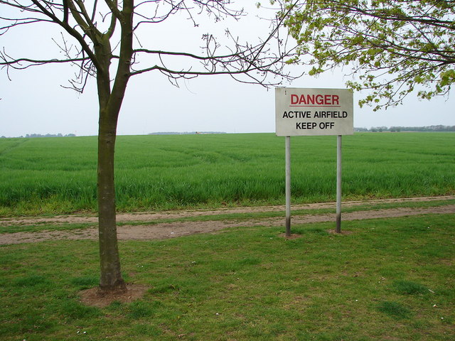
Historically, Cranwell has been associated with the Royal Air Force (RAF) since the early 20th century. The village is home to RAF Cranwell, one of the oldest airfields in the UK, which was established in 1916. RAF Cranwell is the Royal Air Force's College and Training School, providing officer training and education for the armed forces. Its presence has had a significant impact on the village, attracting military personnel and their families, and contributing to the local economy.

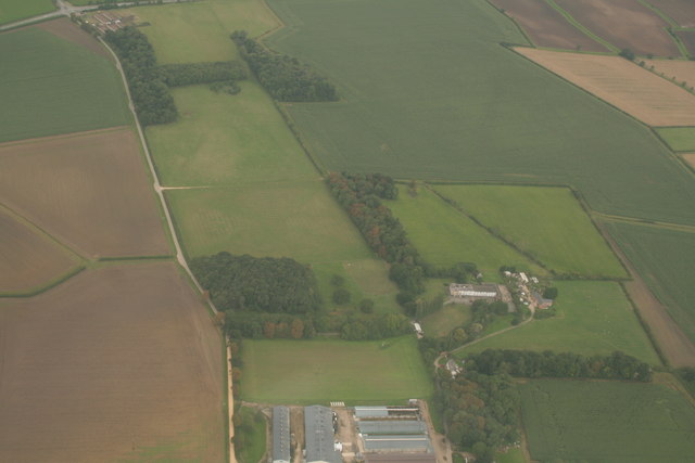
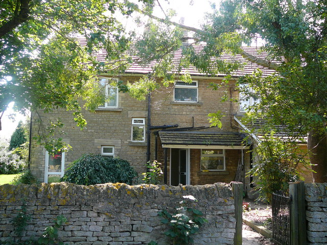
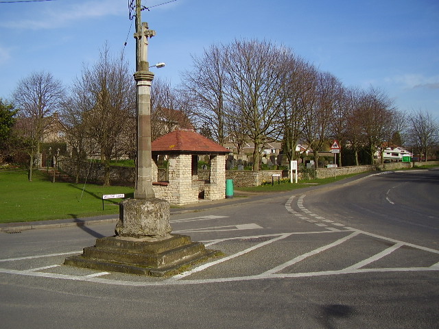
Aside from its RAF connections, Cranwell has a charming rural character. The village is surrounded by open fields and farmland, offering picturesque views of the Lincolnshire countryside. It boasts a range of amenities, including a primary school, a post office, a village hall, and several local shops. Cranwell also has a number of community groups and organizations, promoting a sense of community and providing opportunities for residents to engage in various activities.

Due to its location and proximity to Lincoln, Cranwell benefits from good transportation links. The A15 road passes nearby, connecting the village to Lincoln and other surrounding towns. Additionally, regular bus services operate in the area, providing convenient access to neighboring communities. Overall, Cranwell offers a harmonious blend of rural charm and military heritage, making it an attractive place to live or visit in Lincolnshire.

If you have any feedback on the listing, please let us know in the comments section below.
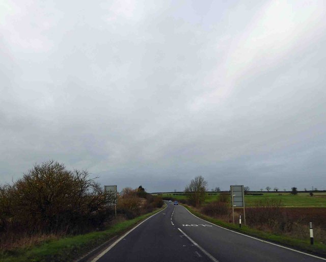
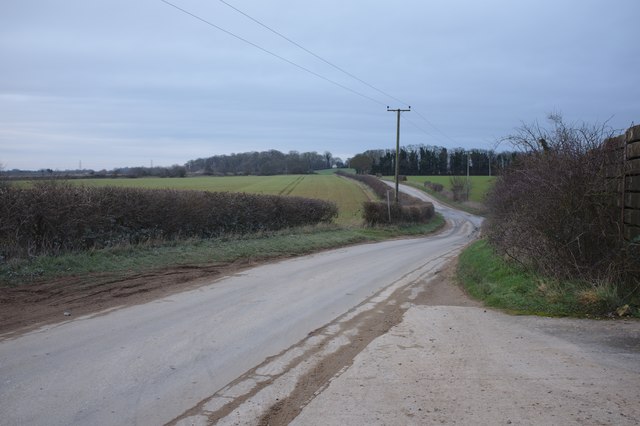
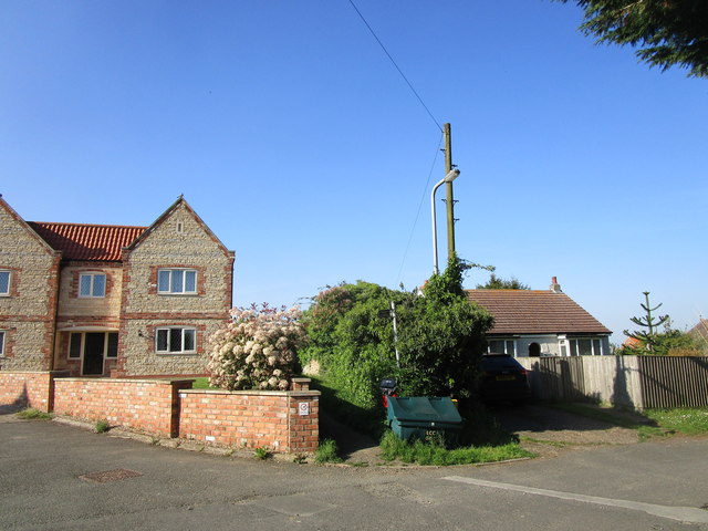
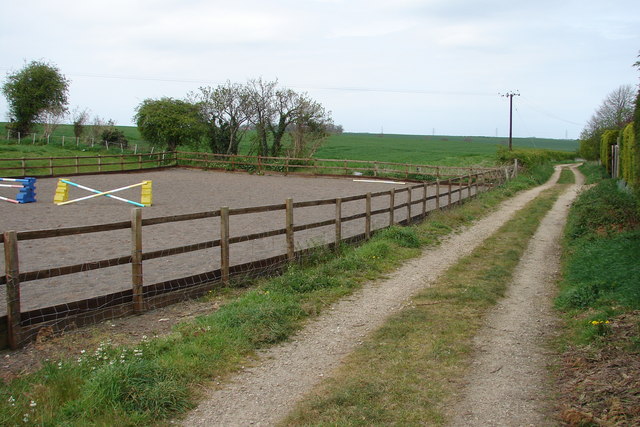
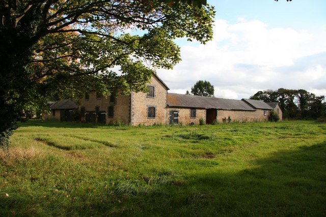
Cranwell Images

Images are sourced within 2km of 53.036821/-0.46198216 or Grid Reference TF0349. Thanks to Geograph Open Source API. All images are credited.

Bend ahead on the A15
A15 heading North
A15 heading North
Oxenford Farm, Willow Lane, Cranwell
A minor road
A minor road
Posing sheep near Hall Farm
Permissive path off Willow Lane Not marked on OS.
Permissive path off Willow Lane
Not marked on OS.
Disputed footpath Marked as a footpath on older OS maps but not on more recent ones. Nonetheless it is waymarked from the western end and stiles are in place. However it is little used (four stiles in a very short distance is not encouraging) and the landowner is seeking to have it formally closed. An alternative permissive path a little to the north is available.
Disputed footpath
Marked as a footpath on older OS maps but not on more recent ones. Nonetheless it is waymarked from the western end and stiles are in place. However it is little used (four stiles in a very short distance is not encouraging) and the landowner is seeking to have it formally closed. An alternative permissive path a little to the north is available.
Remains of ridge and furrow near Roxholme Hall: aerial 2020
Brauncewell trig looking east
Dunsby DMV Sheep grazing in what was once the medieval village of Dunsby
Dunsby DMV
Sheep grazing in what was once the medieval village of Dunsby
Road to Roxholm This road to Roxholm Hall is also a bridleway.
Road to Roxholm
This road to Roxholm Hall is also a bridleway.
Crossroads Showing Road/Bridleway in the distance leading to Roxholm Hall
Crossroads
Showing Road/Bridleway in the distance leading to Roxholm Hall
Tree-Lined area in Thorold Avenue, Cranwell There are fields beyond and to the north of this nicely situated small row of bungalows
Tree-Lined area in Thorold Avenue, Cranwell
There are fields beyond and to the north of this nicely situated small row of bungalows
Public Footpath off De Gravel Drive, Cranwell Village The land to the west is a horse-jumping area.
Public Footpath off De Gravel Drive, Cranwell Village
The land to the west is a horse-jumping area.
Terraced house at 24 Thorold Avenue, Cranwell Typical of most houses on this stretch of the street
Terraced house at 24 Thorold Avenue, Cranwell
Typical of most houses on this stretch of the street
Airfield to North of Main RAF Cranwell Air Base Generally used for Gliders now.  Once used as base for Sea Scout Airships.
Airfield to North of Main RAF Cranwell Air Base
Generally used for Gliders now. Once used as base for Sea Scout Airships.
New Homestead Farm Traditional farm buildings at Brauncewell
New Homestead Farm
Traditional farm buildings at Brauncewell
New Homestead Farm. NG34 8RL This is a photo of our house. New Homestead Farm in Brauncewell, Nr Sleaford. It was built in 1901 from Stone.
New Homestead Farm. NG34 8RL
This is a photo of our house. New Homestead Farm in Brauncewell, Nr Sleaford. It was built in 1901 from Stone.
Show me another place!

Cranwell is located at Grid Ref: TF0349 (Lat: 53.036821, Lng: -0.46198216)

Division: Parts of Kesteven

Administrative County: Lincolnshire

District: North Kesteven

Police Authority: Lincolnshire

What 3 Words

///campsites.wishes.interval. Near Cranwell, Lincolnshire

Related Wikis

Cranwell

Cranwell is a village in the civil parish of Cranwell, Brauncewell and Byard's Leap, in the North Kesteven district of Lincolnshire, England. It is situated...

No. 16 Squadron RAF

Number 16 Squadron Royal Air Force, nicknamed 'the Saints', is a flying squadron of the Royal Air Force (RAF) who currently provide elementary flying training...

RAF Cranwell

Royal Air Force Cranwell or more simply RAF Cranwell (ICAO: EGYD) is a Royal Air Force station in Lincolnshire, England, close to the village of Cranwell...

Central Flying School

The Central Flying School (CFS) is the Royal Air Force's primary institution for the training of military flying instructors. Established in 1912 at the...

Nearby Amenities

Located within 500m of 53.036821,-0.46198216
Cranwell
Is In: Lincolnshire, England, UK
Place: village
Source: npe
Lat/Long: 53.0375651/-0.4629025
Bus Stop
43 Sleaford Road
Naptan AtcoCode: 270000008374
Naptan Bearing: W
Naptan CommonName: 43 Sleaford Road
Naptan Indicator: opp
Naptan Landmark: Number 43
Naptan NaptanCode: lingptmj
Naptan Street: Sleaford Road
Naptan Verified: no
Source: naptan_import
Lat/Long: 53.0367481/-0.4565979
Bus Stop
43 Sleaford Road
Naptan AtcoCode: 270000008375
Naptan Bearing: E
Naptan CommonName: 43 Sleaford Road
Naptan Indicator: adj
Naptan Landmark: Number 43
Naptan NaptanCode: lingptmp
Naptan Street: Sleaford Road
Naptan Verified: no
Source: naptan_import
Lat/Long: 53.03687/-0.4562952
Bus Stop
St Andrew's Church
Naptan AtcoCode: 270000008376
Naptan Bearing: W
Naptan CommonName: St Andrew's Church
Naptan Indicator: opp
Naptan Landmark: St Andrew's Church
Naptan NaptanCode: lingptmt
Naptan Street: Sleaford Road
Naptan Verified: no
Source: naptan_import
Lat/Long: 53.0367043/-0.4608502
Bus Stop
Cranes Close
Naptan AtcoCode: 270000008377
Naptan Bearing: E
Naptan CommonName: Cranes Close
Naptan Indicator: adj
Naptan Landmark: Cranes Close
Naptan NaptanCode: lingptmw
Naptan Street: College Road
Naptan Verified: no
Source: naptan_import
Lat/Long: 53.03603/-0.4650205
Bus Stop
Cranes Close
Naptan AtcoCode: 270000008378
Naptan Bearing: W
Naptan CommonName: Cranes Close
Naptan Indicator: opp
Naptan Landmark: Cranes Close
Naptan NaptanCode: lingptpa
Naptan Street: College Road
Naptan Verified: no
Source: naptan_import
Lat/Long: 53.0359333/-0.465889
Bus Stop
St Andrew's Church
Naptan AtcoCode: 2700LCTC6661
Naptan Bearing: E
Naptan CommonName: St Andrew's Church
Naptan Indicator: adj
Naptan Landmark: St Andrew's Church
Naptan NaptanCode: lingdtmj
Naptan Street: Sleaford Road
Naptan Verified: no
Shelter: yes
Source: naptan_import
Lat/Long: 53.036839/-0.4616932
Post Box
Ele: 36.0000000
Post Box Type: wall
Royal Cypher: EIIR
Royal Cypher Wikidata: Q33102113
Lat/Long: 53.0369974/-0.4621215
Ele: 35.0000000
Removed Amenity: telephone
Lat/Long: 53.0369066/-0.4620783
Ele: 34
Lat/Long: 53.0371995/-0.4621943
Ele: 34
Lat/Long: 53.0373777/-0.4622506
Ele: 33
Lat/Long: 53.0388057/-0.4614547
Ele: 31.0000000
Lat/Long: 53.0397039/-0.461114
Ele: 32.0000000
Lat/Long: 53.0401854/-0.461006
Ele: 32
Lat/Long: 53.0381262/-0.4619415
Manor Farm
Place: farm
Source: Bing
Lat/Long: 53.0354372/-0.4635815
Oxenford Farm
Place: farm
Source: Bing
Lat/Long: 53.0386547/-0.4640999
Hall Farm
Historic Place: farm
Source: Bing
Lat/Long: 53.0362117/-0.4600041
Barrier: stile
Bicycle: no
Foot: yes
Horse: no
Motor Vehicle: no
Lat/Long: 53.0382478/-0.4673499
Barrier: stile
Bicycle: no
Foot: yes
Horse: no
Motor Vehicle: no
Lat/Long: 53.038376/-0.4646718
Historic: wayside_cross
Lat/Long: 53.0367864/-0.4618942
Addr Housenumber: 15
Lat/Long: 53.0380049/-0.4587215
Addr Housenumber: 83
Lat/Long: 53.0381149/-0.4602094
Addr Housenumber: 4
Lat/Long: 53.0379694/-0.4597765
Addr Housenumber: 2
Lat/Long: 53.0379752/-0.4596893
Addr Housenumber: 6
Lat/Long: 53.0379769/-0.4598667
Addr Housenumber: 1
Lat/Long: 53.0378755/-0.4601609
Addr Housenumber: 3
Lat/Long: 53.0379223/-0.4603218
Addr Housenumber: 5
Lat/Long: 53.0378997/-0.4603862
Addr Housenumber: 22
Lat/Long: 53.0379679/-0.4612091
Entrance: yes
Lat/Long: 53.037086/-0.4638649
Defibrillator
Access: yes
Defibrillator Location: outside Cranwell Village Hall
Emergency: defibrillator
Indoor: no
Lat/Long: 53.0370856/-0.4638324
The data included in this document is from www.openstreetmap.org. The data is made available under ODbL.

Have you been to Cranwell?

Leave your review of Cranwell below (or comments, questions and feedback).