Bullpark Wood

Wood, Forest in Wiltshire

England

Bullpark Wood

Looking north from layby on A433 near A46 junction The light patch is sunlight
Looking north from layby on A433 near A46 junction Credit: Peter Watkins

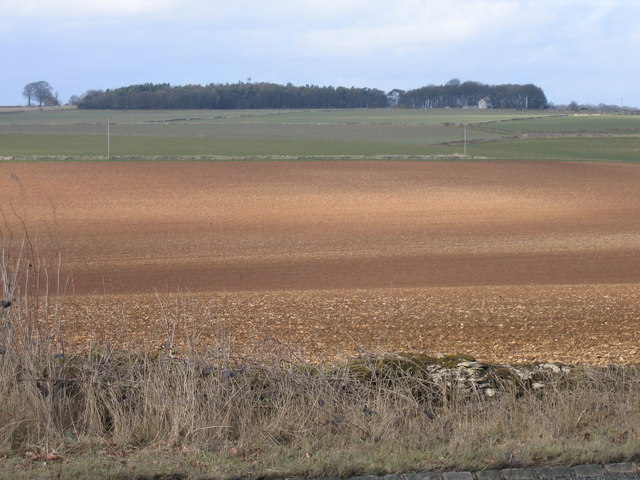
Bullpark Wood is a picturesque woodland located in the county of Wiltshire, England. Spread across an area of approximately 100 acres, this woodland is known for its natural beauty and diverse ecosystem.

Situated near the village of Tisbury, Bullpark Wood offers a tranquil escape for nature enthusiasts and hikers alike. The wood is primarily composed of oak trees, which dominate the landscape with their tall, majestic presence. These ancient trees provide a habitat for various wildlife species, including birds, squirrels, and deer.

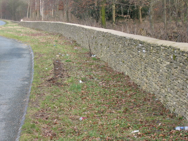
The woodland is crisscrossed by a network of well-maintained footpaths, allowing visitors to explore its hidden treasures. These paths lead to enchanting clearings, where one can find carpets of bluebells during the spring season. Additionally, the wood boasts a diverse range of plant life, including ferns, wild garlic, and wood anemones, creating a vibrant and colorful atmosphere.

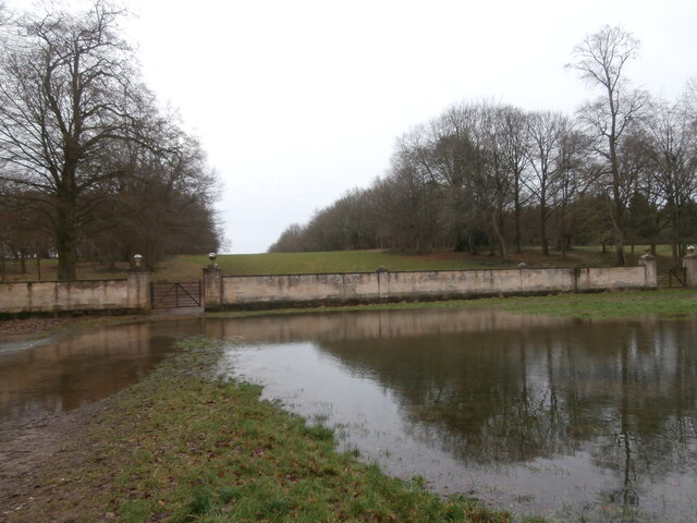
Bullpark Wood is also home to a small pond, a haven for amphibians and insects. This water source serves as a breeding ground for newts and dragonflies, attracting nature enthusiasts who are interested in observing these creatures in their natural habitat.

Overall, Bullpark Wood offers a serene and peaceful environment, making it an ideal location for nature walks, birdwatching, and photography. Its natural beauty and diverse ecosystem make it a valuable and treasured asset to the region of Wiltshire.

If you have any feedback on the listing, please let us know in the comments section below.

Bullpark Wood Images

Images are sourced within 2km of 51.576551/-2.2694242 or Grid Reference ST8186. Thanks to Geograph Open Source API. All images are credited.

Looking north from layby on A433 near A46 junction The light patch is sunlight
Looking north from layby on A433 near A46 junction
The light patch is sunlight
Drystone wall Badminton Estate This drystone wall, well shown on the 1940s map, is being rebuilt. It marks the northern boundary of the Badminton Estate along the A433 and seems to run for miles.
Drystone wall Badminton Estate
This drystone wall, well shown on the 1940s map, is being rebuilt. It marks the northern boundary of the Badminton Estate along the A433 and seems to run for miles.
Cotswold stone wall alongside the A433 near Dunkirk
Old Milestone, A433 In the parish of Hawkesbury, on the Tetbury road. Set fairly close to the road, on the verge, The top of the milestone has broken off, seen here in its rightful position to highlight the small tympanum that would have been the feature of the plate. There are marks that could have been an inscription additional to the plate. They were not meaningful. (for an example of what the plate looked like see <a href="https://www.geograph.org.uk/photo/6044344">ST7986 : Old Milestone by the A433, Dunkirk, Hawkesbury Parish</a>). Cut Benchmark on the SW face, 157.5 m ASL.

Plate Inscription (was): Cirenᴿ / 17 / Tetbury / 7 / Bath / 16

Milestone Society ID: GL_CIBA17
Old Milestone, A433
In the parish of Hawkesbury, on the Tetbury road. Set fairly close to the road, on the verge, The top of the milestone has broken off, seen here in its rightful position to highlight the small tympanum that would have been the feature of the plate. There are marks that could have been an inscription additional to the plate. They were not meaningful. (for an example of what the plate looked like see ST7986 : Old Milestone by the A433, Dunkirk, Hawkesbury Parish). Cut Benchmark on the SW face, 157.5 m ASL. Plate Inscription (was): Cirenᴿ / 17 / Tetbury / 7 / Bath / 16 Milestone Society ID: GL_CIBA17
Worcester Avenue A view of the gate and wall across Worcester Avenue on the Badminton Estate <span class="nowrap"><a title="https://www.badmintonestate.com/" rel="nofollow ugc noopener" href="https://www.badmintonestate.com/">Link</a><img style="margin-left:2px;" alt="External link" title="External link - shift click to open in new window" src="https://s1.geograph.org.uk/img/external.png" width="10" height="10"/></span> , much soggier than <a href="https://www.geograph.org.uk/photo/4779904">ST8085 : Worcester Avenue</a>, taken by the same photographer in almost the same location seven years earlier.  Taken from the road towards Sopworth, which could only be reached from the avenue by walking through ankle-deep water or along the top of a wall.
Worcester Avenue
A view of the gate and wall across Worcester Avenue on the Badminton Estate LinkExternal link , much soggier than ST8085 : Worcester Avenue, taken by the same photographer in almost the same location seven years earlier. Taken from the road towards Sopworth, which could only be reached from the avenue by walking through ankle-deep water or along the top of a wall.
Worcester Lodge Worcester Lodge was designed by William Kent in 1745 and completed in 1750 and is a lodge to Badminton House.
Worcester Lodge
Worcester Lodge was designed by William Kent in 1745 and completed in 1750 and is a lodge to Badminton House.
Didmarton : The Street A433 Looking along The Street.
Didmarton : The Street A433
Looking along The Street.
Didmarton : Oldbury on the Hill Looking towards buildings beyond the grassy field.
Didmarton : Oldbury on the Hill
Looking towards buildings beyond the grassy field.
Didmarton : Grassy Field Looking towards Oldbury.
Didmarton : Grassy Field
Looking towards Oldbury.
Didmarton : Track Looking along a muddy track.
Didmarton : Track
Looking along a muddy track.
St Lawrence Church, Didmarton
Outbuildings, Didmarton Looking south from The Kings Arms pub.
Outbuildings, Didmarton
Looking south from The Kings Arms pub.
Sopworth A nicely preserved village, between Didmarton and Luckington.
Sopworth
A nicely preserved village, between Didmarton and Luckington.
Sewage farm, Didmarton Out of sight, out of mind!
Sewage farm, Didmarton
Out of sight, out of mind!
Lonely barn An empty barn stands gauntly, on the crest of a ridge, near Didmarton.
Lonely barn
An empty barn stands gauntly, on the crest of a ridge, near Didmarton.
Paddock near Swangrove House A view looking to the northeast along the lane from Little Badminton to Dunkirk, where it takes a sharp left turn at a paddock in the grounds of Swangrove House.
Paddock near Swangrove House
A view looking to the northeast along the lane from Little Badminton to Dunkirk, where it takes a sharp left turn at a paddock in the grounds of Swangrove House.
Paddock entrance A view looking to the northeast towards an entrance in the stone wall of a paddock in the grounds of Swangrove House, from the lane between Little Badminton and Dunkirk.
Paddock entrance
A view looking to the northeast towards an entrance in the stone wall of a paddock in the grounds of Swangrove House, from the lane between Little Badminton and Dunkirk.
Avon valley The Sherston branch of the (Bristol) Avon runs through this gently sloping valley.
Avon valley
The Sherston branch of the (Bristol) Avon runs through this gently sloping valley.
Show me another place!

Bullpark Wood is located at Grid Ref: ST8186 (Lat: 51.576551, Lng: -2.2694242)

Unitary Authority: Wiltshire

Police Authority: Wiltshire

What 3 Words

///closed.clings.shapeless. Near Luckington, Wiltshire

Related Wikis

Didmarton

Didmarton is a village and civil parish in Gloucestershire, England. It lies in the Cotswold District, about 6 miles (10 km) southwest of Tetbury. The...

Sopworth

Sopworth is a small village and civil parish in northwest Wiltshire, England, on the county's border with Gloucestershire. The village lies about 1.7 miles...

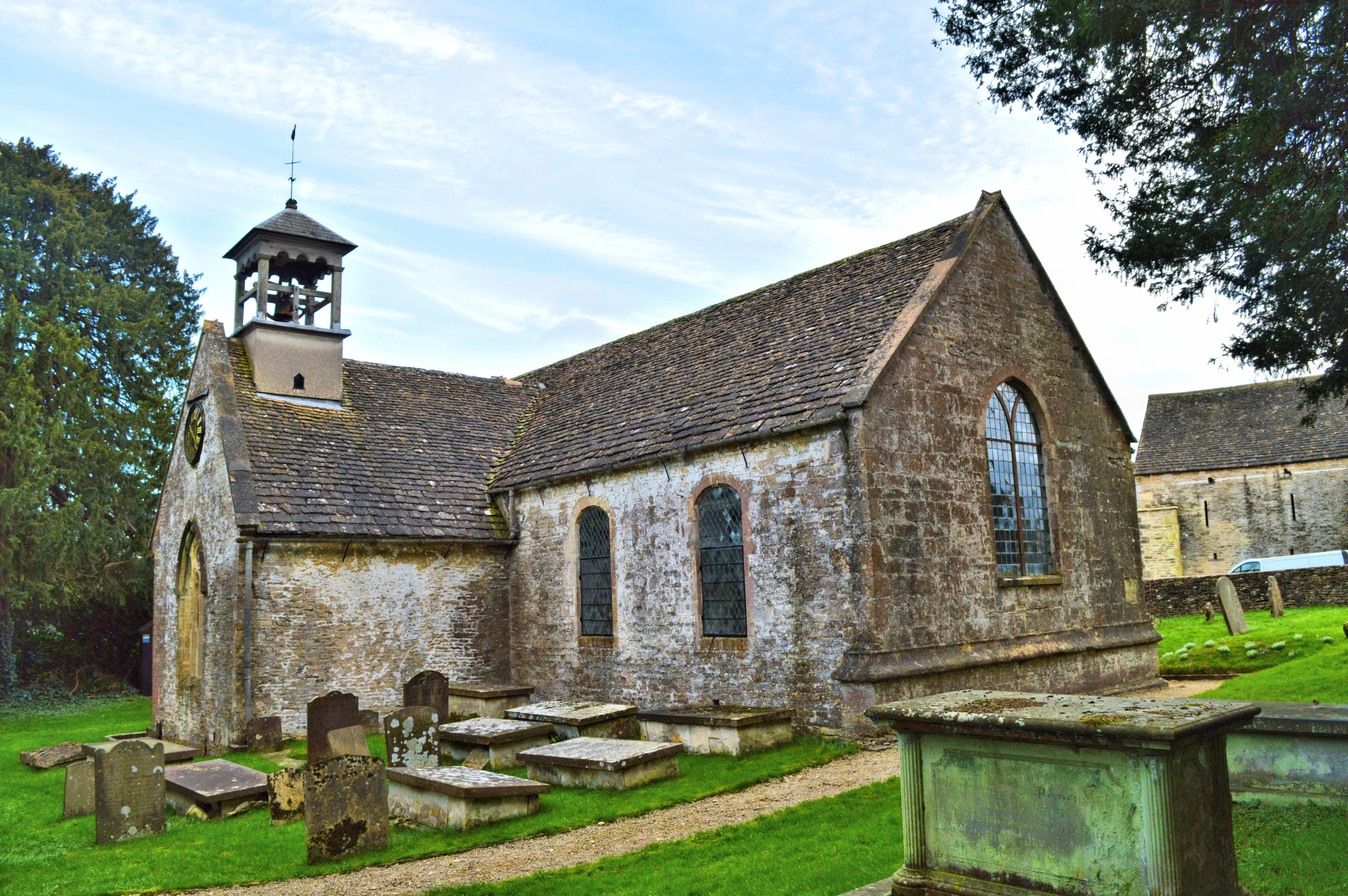
Church of St Lawrence, Didmarton

The Anglican Church of St Lawrence at Didmarton in the Cotswold District of Gloucestershire, England was built in the 13th century. It is a grade I listed...

Oldbury-on-the-Hill

Oldbury-on-the-Hill is a small village and former civil parish, now in the parish of Didmarton, in the Cotswold district, in Gloucestershire, England,...

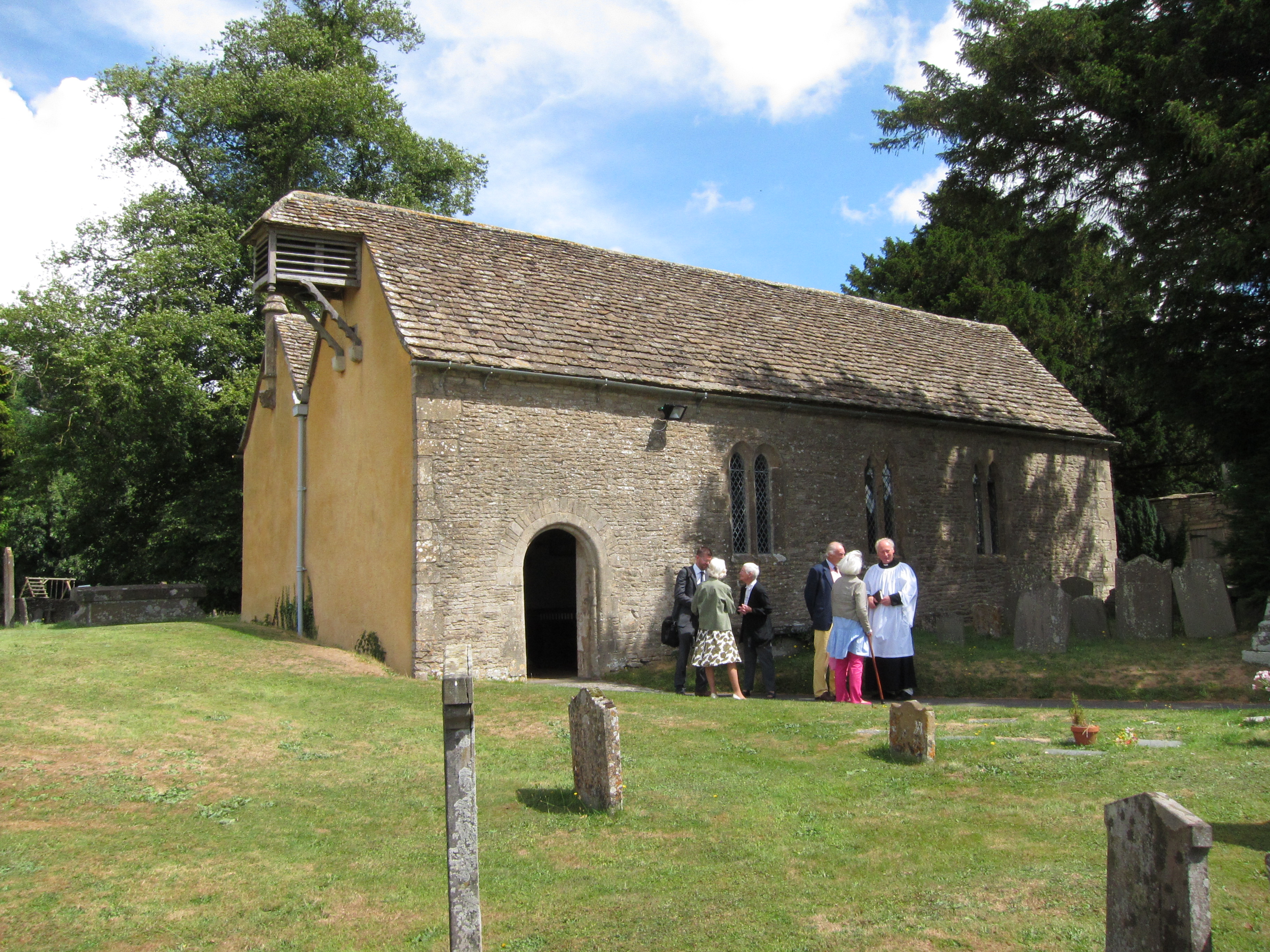
St Arild's Church, Oldbury-on-the-Hill

St Arild's Church is a historic Anglican church near the village of Oldbury-on-the-Hill, Gloucestershire, England under the care of The Churches Conservation...

Swangrove

Swangrove is a Grade I listed country house in Hawkesbury, South Gloucestershire, England. The listing includes Swangrove House, its garden walls, four...

Dunkirk, Gloucestershire

Dunkirk is a hamlet in the rural north of South Gloucestershire, near the Gloucestershire border, in the parish of Hawkesbury. The hamlet is on an important...

Little Badminton

Little Badminton is a small village in Hawkesbury parish in South Gloucestershire, England.The name of the settlement distinguishes it from Badminton village...

Have you been to Bullpark Wood?

Leave your review of Bullpark Wood below (or comments, questions and feedback).