Snelling Copse
Wood, Forest in Dorset
England
Snelling Copse
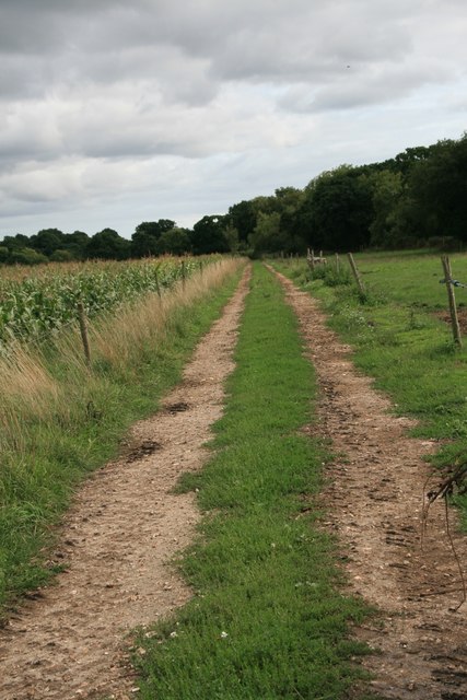
Snelling Copse is a picturesque woodland located in the county of Dorset, England. Situated near the village of Snelling, this serene forest spans approximately 50 acres and offers a tranquil escape for nature enthusiasts and outdoor lovers.
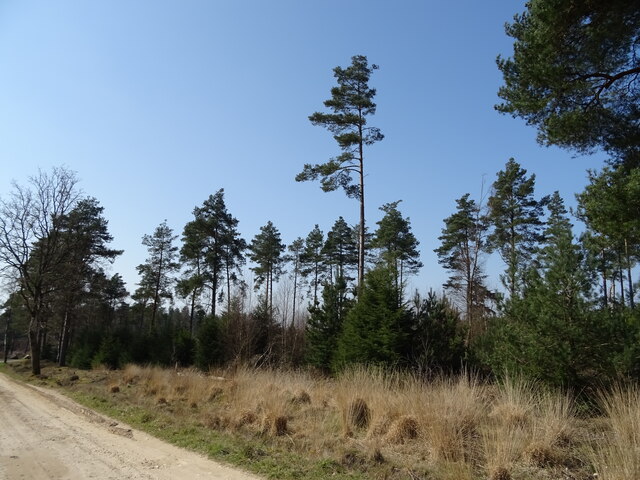
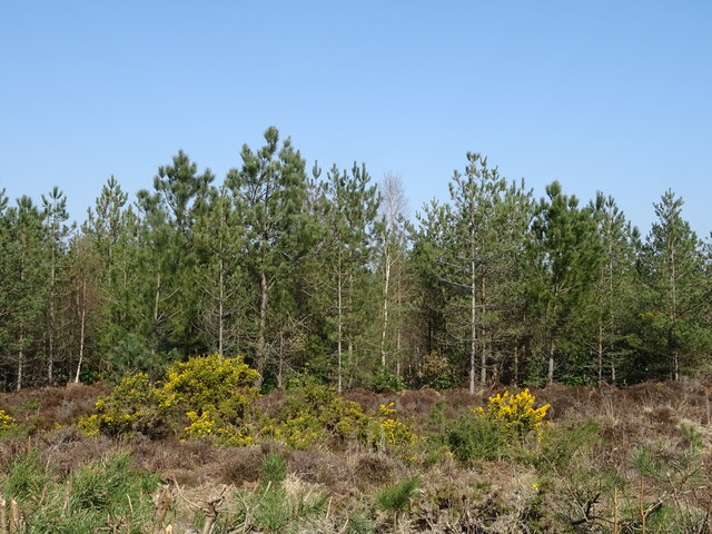
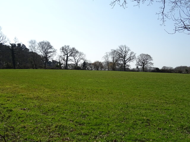
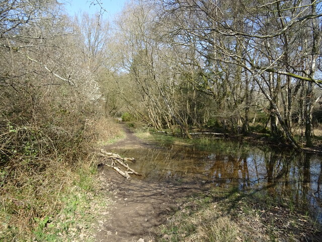
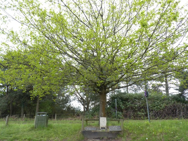
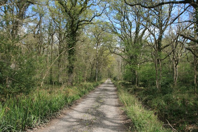
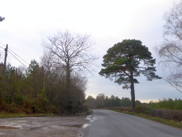
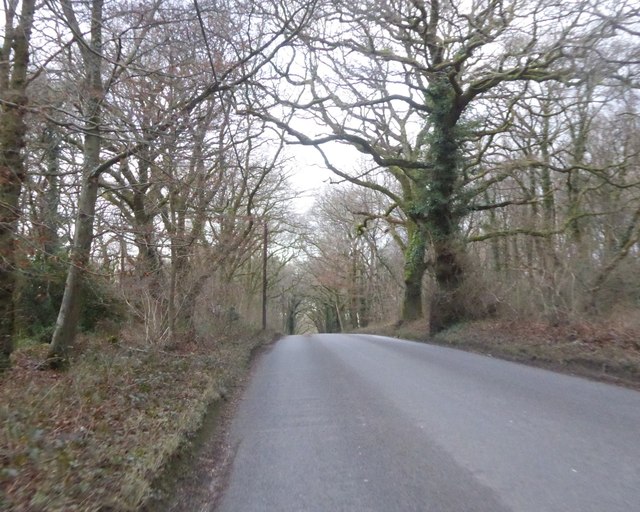
The copse is characterized by its dense canopy of deciduous trees, predominantly consisting of oak, beech, and ash. These majestic giants create a stunning display of colors during the autumn months, attracting many visitors who come to witness the breathtaking foliage. In addition to the towering trees, Snelling Copse boasts an array of native flora, including bluebells, primroses, and wild garlic, which adorn the forest floor in the springtime.
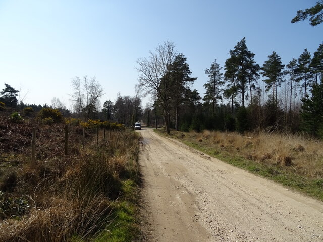
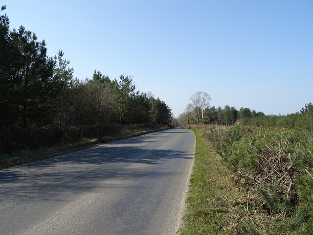
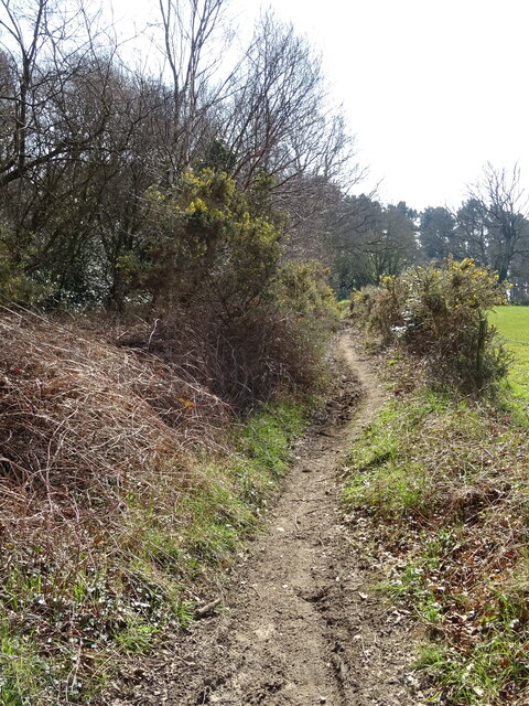
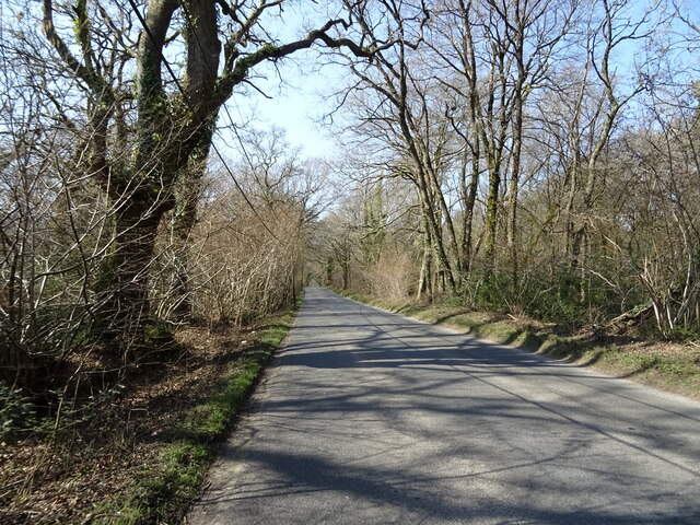
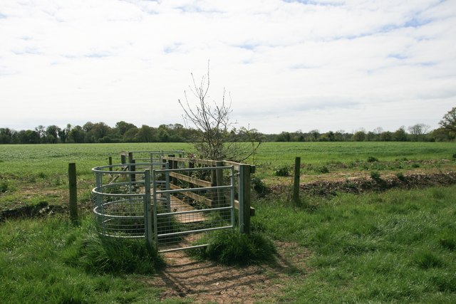
The woodland is crisscrossed by a network of winding footpaths, allowing visitors to explore its natural beauty at their own pace. These pathways lead to hidden clearings, babbling brooks, and small ponds, enhancing the magical atmosphere of the copse. The diverse range of habitats within Snelling Copse supports a variety of wildlife, including deer, squirrels, badgers, and a multitude of bird species, making it a paradise for wildlife enthusiasts and birdwatchers.
Snelling Copse is a popular destination for recreational activities such as hiking, picnicking, and nature photography. Its peaceful ambiance and unspoiled surroundings provide an ideal setting for those seeking a peaceful retreat from the hustle and bustle of everyday life.
Overall, Snelling Copse in Dorset is a captivating woodland that offers a serene and enchanting experience for visitors, with its ancient trees, vibrant flora, and diverse wildlife. It is a true gem of natural beauty in the heart of the English countryside.
If you have any feedback on the listing, please let us know in the comments section below.
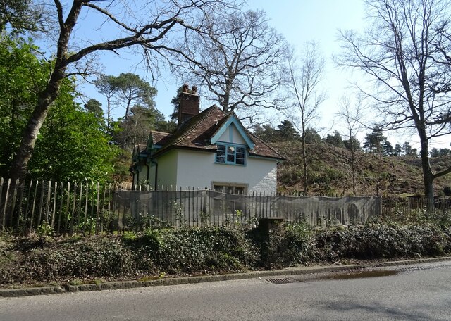
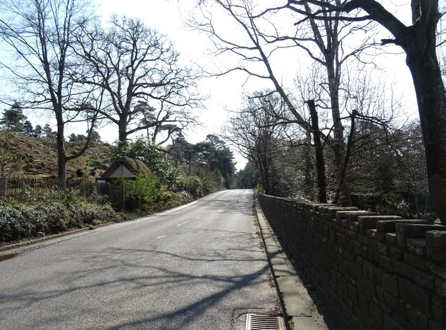
Snelling Copse Images
Images are sourced within 2km of 50.703314/-2.2661399 or Grid Reference SY8189. Thanks to Geograph Open Source API. All images are credited.
Snelling Copse is located at Grid Ref: SY8189 (Lat: 50.703314, Lng: -2.2661399)
Unitary Authority: Dorset
Police Authority: Dorset
What 3 Words
///direction.pulps.bootleg. Near Bovington Camp, Dorset
Nearby Locations
Related Wikis

St Nicholas' Church, Moreton
St Nicholas' is a Church of England parish church at Moreton, Dorset, England. It is known for its thirteen windows, engraved by the poet and artist Sir...
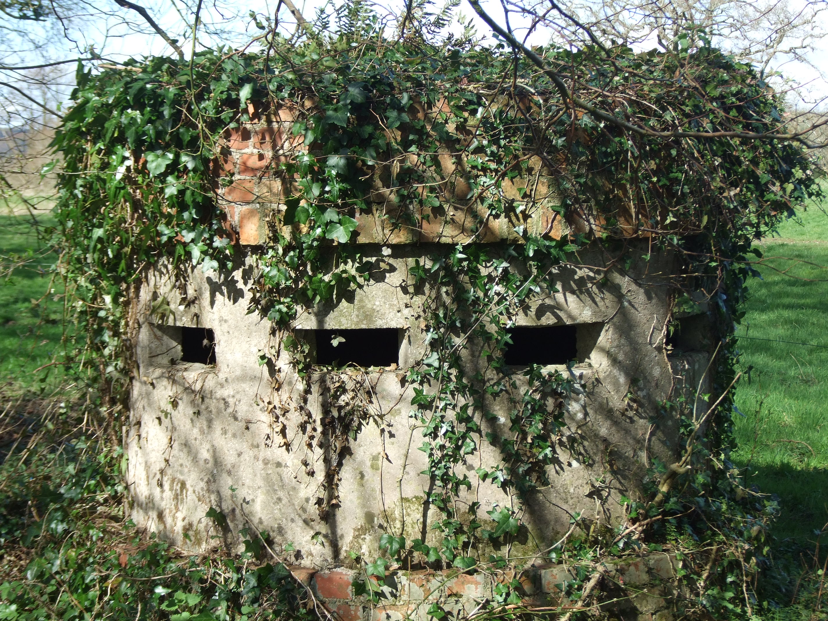
Norcon pillbox
The Norcon pillbox is a type of hardened field fortification built in Britain during the invasion crisis of 1940–1941. It was a small circular pillbox...
Moreton, Dorset
Moreton is a village and civil parish in Dorset, England, situated on the River Frome about 8 miles (13 km) east of Dorchester. In the 2011 census the...

TOG2
The TOG2, officially known as the Heavy Tank, TOG II, was a British super-heavy tank design produced during the early stages of World War II for a scenario...

The Tank Museum
The Tank Museum (previously The Bovington Tank Museum) is a collection of armoured fighting vehicles at Bovington Camp in Dorset, South West England. It...

Bovington Camp
Bovington Camp () is a British Army military base in Dorset, England. Together with Lulworth Camp it forms part of Bovington Garrison. The garrison is...

Little Willie
Little Willie was a prototype in the development of the British Mark I tank. Constructed in the autumn of 1915 at the behest of the Landship Committee...
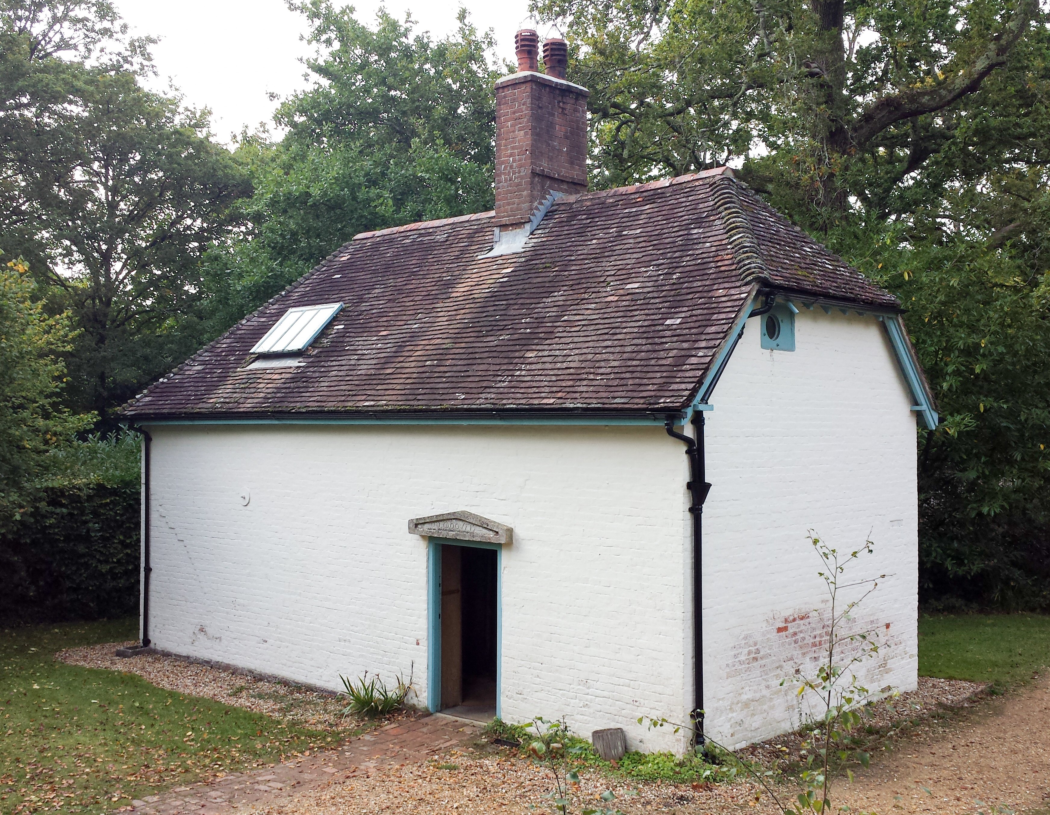
Clouds Hill
Clouds Hill is an isolated cottage near Wareham in the county of Dorset in South West England. It is the former home of T. E. Lawrence ("Lawrence of Arabia...
Nearby Amenities
Located within 500m of 50.703314,-2.2661399Have you been to Snelling Copse?
Leave your review of Snelling Copse below (or comments, questions and feedback).