Borrins Wood

Wood, Forest in Yorkshire Craven

England

Borrins Wood

View from Feizor Thwaite With Ingleborough in the far distance.
View from Feizor Thwaite Credit: Humphrey Bolton

Borrins Wood, located in Yorkshire, England, is a picturesque forest renowned for its natural beauty and tranquil atmosphere. Spanning a vast area, the wood is a haven for nature enthusiasts and offers a diverse range of flora and fauna.

The wood is predominantly composed of deciduous trees, including oak, beech, and birch, creating a stunning display of colors during the autumn season. The dense canopy provides a sheltered environment for a variety of wildlife, such as foxes, deer, squirrels, and numerous bird species, making it a popular spot for birdwatching and wildlife observation.

Trails wind through the wood, allowing visitors to explore its hidden gems and discover its hidden treasures. The well-maintained paths cater to both casual strollers and avid hikers, offering options for different fitness levels. Along these paths, one can find charming picnic spots, inviting visitors to take a break and enjoy the serenity of the surroundings.

Borrins Wood is not only a natural haven but also holds historical significance. It is believed to have served as a hunting ground for the local nobility in medieval times. The remnants of an old hunting lodge can still be found within the wood, adding to its allure and providing a glimpse into its rich past.

With its captivating beauty, diverse wildlife, and historical remnants, Borrins Wood offers a memorable experience for nature lovers and history enthusiasts alike. Whether one seeks solitude, adventure, or a peaceful retreat, this enchanting forest in Yorkshire is sure to leave a lasting impression.

If you have any feedback on the listing, please let us know in the comments section below.
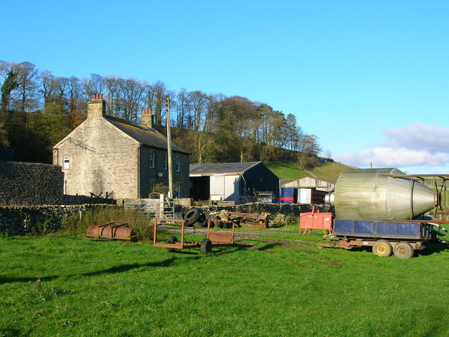
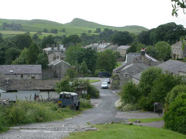
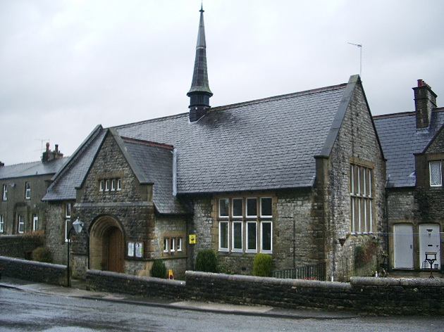
Borrins Wood Images

Images are sourced within 2km of 54.092547/-2.2876909 or Grid Reference SD8166. Thanks to Geograph Open Source API. All images are credited.

View from Feizor Thwaite With Ingleborough in the far distance.
View from Feizor Thwaite
With Ingleborough in the far distance.
View from Feizor Thwaite In the middle ground there is a green track that crosses over the hill and goes down to join the bridleway to Feizor village. The hill must surely be Pendle Hill, a long way away!
View from Feizor Thwaite
In the middle ground there is a green track that crosses over the hill and goes down to join the bridleway to Feizor village. The hill must surely be Pendle Hill, a long way away!
Erratic boulder on Feizor Thwaite Carried by a glacier, perhaps from Cumbria, and dropped onto the surface of the limestone bedrock.
Erratic boulder on Feizor Thwaite
Carried by a glacier, perhaps from Cumbria, and dropped onto the surface of the limestone bedrock.
An area of springs The spring marked on the OS map is to the left, on the Feizor side of the parish boundary wall, but there seem to be more springs here in this curiously-shaped enclosure in Giggleswick parish. The grid line passes through the enclosure, so some of it is in SD8067.
An area of springs
The spring marked on the OS map is to the left, on the Feizor side of the parish boundary wall, but there seem to be more springs here in this curiously-shaped enclosure in Giggleswick parish. The grid line passes through the enclosure, so some of it is in SD8067.
Scar Top Garage, Giggleswick Scar Top Garage located at the very top of Buck Haw Brow Hill on the B6480.  It sadly finally closed in approx 2008.
Scar Top Garage, Giggleswick
Scar Top Garage located at the very top of Buck Haw Brow Hill on the B6480. It sadly finally closed in approx 2008.
Scar Top Garage, Giggleswick The proprietor Raymond before the garage finally closed in approx 2008.
Scar Top Garage, Giggleswick
The proprietor Raymond before the garage finally closed in approx 2008.
Buck Haw Brow below Giggleswick Scar
Distant View Towards Smearsett Scar A frozen moorland view across to Smearsett Scar.
Distant View Towards Smearsett Scar
A frozen moorland view across to Smearsett Scar.
Giggleswick Scar
Giggleswick Scar
That tree looks more of a wreck than me (I hope)
Limestone moorland
Limestone moorland
A junction of dry stone walls
These trees have found a sheltered spot on Giggleswick Scar
Giggleswick Scar
Giggleswick Scar
The limestone plateau above Giggleswick Scar
Gate and Ladder Stile in wall Looking south-east from footpath.
Gate and Ladder Stile in wall
Looking south-east from footpath.
On Feizor Thwaite
On Feizor Thwaite
Giggleswick Scar at Buck Haw Brow
Show me another place!

Borrins Wood is located at Grid Ref: SD8166 (Lat: 54.092547, Lng: -2.2876909)

Division: West Riding

Administrative County: North Yorkshire

District: Craven

Police Authority: North Yorkshire

What 3 Words

///backswing.mincing.attaching. Near Settle, North Yorkshire

Nearby Locations

Riseber Wood Borrins Wood

Related Wikis

Stainforth Bridge

Stainforth Bridge, (also known as Stainforth packhorse bridge and Knight Stainforth bridge) is a 17th century, arched packhorse bridge over the River Ribble...

Stackhouse, North Yorkshire

Stackhouse (sometimes written as Stack House), is a hamlet near to Giggleswick on the western bank of the River Ribble in North Yorkshire, England. �...

Stainforth Force

Stainforth Force (also known as Stainforth Foss and Ribble Falls), is a 2.5-metre (8 ft 2 in) high cascade waterfall on the River Ribble at Stainforth...

St Peter's Church, Stainforth

St Peter's Church is in the village of Stainforth, North Yorkshire, England. It is an active Anglican parish church in the deanery of Bowland, the archdeaconry...

Stainforth, North Yorkshire

Stainforth is a village and civil parish in the Craven district of North Yorkshire, England. It is situated north of Settle. Nearby there is a waterfall...

Langcliffe

Langcliffe is a village and civil parish in the Craven district of North Yorkshire, in England. It lies to the north of Settle and east of Giggleswick...

Giggleswick

Giggleswick, a village and civil parish in the Craven district of North Yorkshire, England, lies on the B6480 road, less than 1 mile (1.6 km) north-west...

Settle Hydro

Settle Hydro is a micro hydroelectric scheme, owned by the community, in Settle, North Yorkshire, England. It is located on the River Ribble, at Settle...

Nearby Amenities

Located within 500m of 54.092547,-2.2876909
Barrier: stile
Image: https://www.geograph.org.uk/photo/1357620
Material: stone
Stile: stepover
Lat/Long: 54.0952659/-2.2824913
Barrier: stile
Lat/Long: 54.0934012/-2.2801646
Barrier: stile
Material: stone
Stile: stepover
Lat/Long: 54.0896383/-2.2840928
Barrier: stile
Material: stone
Stile: squeezer
Lat/Long: 54.0903537/-2.2842081
Barrier: stile
Material: stone
Stile: stepover
Lat/Long: 54.0929309/-2.2837912
Barrier: stile
Material: stone
Stile: stepover
Lat/Long: 54.0949323/-2.2839698
Barrier: stile
Source: GPS
Lat/Long: 54.0941615/-2.291495
Barrier: entrance
Lat/Long: 54.0911418/-2.2937835
Barrier: stile
Source: GPS
Lat/Long: 54.0946029/-2.2878284
Power: pole
Source: Bing
Lat/Long: 54.091487/-2.2808673
Power: pole
Source: Bing
Lat/Long: 54.0925232/-2.2818016
Power: pole
Source: Bing
Lat/Long: 54.0929069/-2.2821497
Power: pole
Source: Bing
Lat/Long: 54.0934856/-2.2832595
Power: pole
Source: Bing
Lat/Long: 54.0940627/-2.2843614
Power: pole
Source: Bing
Lat/Long: 54.0946383/-2.2854606
Power: pole
Source: Bing
Lat/Long: 54.0951464/-2.2863872
Information: guidepost
Tourism: information
Lat/Long: 54.0952324/-2.2910768
Power: pole
Lat/Long: 54.0961617/-2.2882864
Power: pole
Lat/Long: 54.0956568/-2.2873583
Barrier: stile
Material: stone
Stile: stepover
Lat/Long: 54.0908872/-2.2841723
Barrier: stile
Material: stone
Stile: stepover
Lat/Long: 54.0925116/-2.2839479
Ford: yes
Image: https://www.geograph.org.uk/photo/6283342
Lat/Long: 54.094644/-2.2823665
The data included in this document is from www.openstreetmap.org. The data is made available under ODbL.

Have you been to Borrins Wood?

Leave your review of Borrins Wood below (or comments, questions and feedback).