Eagles Nest Wood
Wood, Forest in Lancashire
England
Eagles Nest Wood

Eagles Nest Wood is a picturesque woodland located in the county of Lancashire, England. Situated near the town of Clitheroe, this enchanting forest covers an area of approximately 50 acres. The wood is known for its diverse ecosystem and stunning natural beauty, attracting nature enthusiasts, hikers, and photographers alike.
The forest is predominantly composed of deciduous trees, such as oak, beech, and birch, which create a lush and vibrant canopy during the summer months. The woodland floor is adorned with an array of wildflowers, ferns, and mosses, adding to the overall charm of the area. Visitors can also spot various species of wildlife, including deer, squirrels, and an abundance of birdlife, making it a haven for birdwatchers.
Eagles Nest Wood offers a network of well-maintained trails, allowing visitors to explore the forest at their own pace. These paths wind through the trees, providing glimpses of the surrounding countryside, including rolling hills and meandering streams. The wood also boasts a small picnic area, offering a tranquil spot for visitors to relax and enjoy the peaceful ambiance.
The woodland is easily accessible, with a car park available for visitors. Throughout the year, the forest hosts several organized events, such as guided nature walks and educational programs for children, further enhancing the experience for visitors of all ages.
Eagles Nest Wood, with its scenic beauty and rich biodiversity, is a captivating destination for nature lovers, offering a peaceful retreat from the hustle and bustle of everyday life.
If you have any feedback on the listing, please let us know in the comments section below.
Eagles Nest Wood Images
Images are sourced within 2km of 53.525505/-2.2838611 or Grid Reference SD8103. Thanks to Geograph Open Source API. All images are credited.


Eagles Nest Wood is located at Grid Ref: SD8103 (Lat: 53.525505, Lng: -2.2838611)
Unitary Authority: Bury
Police Authority: Greater Manchester
What 3 Words
///lists.fades.fixed. Near Prestwich, Manchester
Nearby Locations
Related Wikis

Manchester Mesivta School
Manchester Mesivta School is a Jewish secondary school for boys located in Prestwich in the English county of Greater Manchester.It is a voluntary aided...

Church of St Mary the Virgin, Prestwich
The Church of St Mary the Virgin is on Church Lane, Prestwich, Greater Manchester, England. It is an active Anglican parish church in the deanery of Radcliffe...
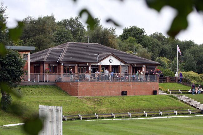
Prestwich Cricket, Tennis & Bowling Club
Prestwich Cricket, Tennis & Bowling Club, commonly known as PCTBC or Prestwich Cricket Club, is an English multi-sports club from the town of Prestwich...
Prestwich
Prestwich ( PREST-witch) is a town in the Metropolitan Borough of Bury, Greater Manchester, England, 3 miles (4.8 km) north of Manchester, 3 miles (5 km...
Nearby Amenities
Located within 500m of 53.525505,-2.2838611Have you been to Eagles Nest Wood?
Leave your review of Eagles Nest Wood below (or comments, questions and feedback).