Wigglesworth Row Plantation

Wood, Forest in Yorkshire Craven

England

Wigglesworth Row Plantation

This way to Tosside The B6478 viewed near Hill Top Farm.
This way to Tosside Credit: Mary and Angus Hogg

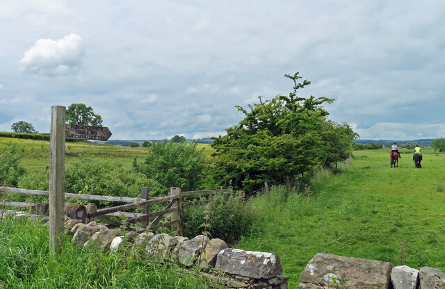
Wigglesworth Row Plantation is a picturesque woodland located in Yorkshire, England. Situated near the village of Wigglesworth, the plantation covers an extensive area of lush greenery, offering a serene and tranquil escape for nature enthusiasts and visitors alike.

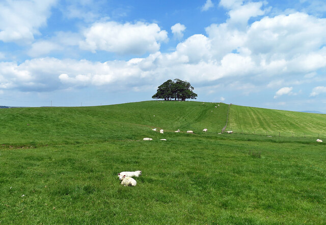
This enchanting woodland is characterized by a diverse range of tree species, including oak, ash, birch, and beech, which contribute to the rich biodiversity found within the plantation. The dense canopy provides ample shade and creates a cool and refreshing atmosphere, especially during the summer months.

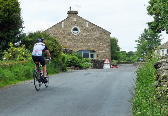
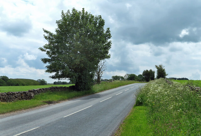
Wigglesworth Row Plantation offers a variety of walking trails and pathways, allowing visitors to explore its beauty at their leisure. The well-maintained trails wind through the woods, offering stunning views of the surrounding landscape and glimpses of native wildlife such as deer, squirrels, and a wide array of bird species.

In addition to its natural beauty, the plantation also boasts historical significance. It is believed to have been originally established as a hunting ground for the local nobility during medieval times. The remnants of an old hunting lodge can still be seen within the woodland, providing a glimpse into its past.

Visitors to Wigglesworth Row Plantation can enjoy picnicking in designated areas, as well as partake in birdwatching, photography, or simply immersing themselves in the peaceful ambiance of this idyllic woodland retreat. With its breathtaking scenery and rich biodiversity, Wigglesworth Row Plantation is a must-visit destination for nature lovers and those seeking a respite from the hustle and bustle of everyday life.

If you have any feedback on the listing, please let us know in the comments section below.

Wigglesworth Row Plantation Images

Images are sourced within 2km of 54.000936/-2.2913908 or Grid Reference SD8056. Thanks to Geograph Open Source API. All images are credited.

This way to Tosside The B6478 viewed near Hill Top Farm.
This way to Tosside
The B6478 viewed near Hill Top Farm.
Hill Top Farm A mid-June view of grazing land in the Ribble valley.
Hill Top Farm
A mid-June view of grazing land in the Ribble valley.
Ordnance Survey Cut Mark This mark can be found on a gatepost at the entrance to a track to Stubb Farm.
The benchmark has a recorded height of 207.706 metres above sea level.
For more detail see : <span class="nowrap"><a title="https://www.bench-marks.org.uk/bm65858" rel="nofollow ugc noopener" href="https://www.bench-marks.org.uk/bm65858">Link</a><img style="margin-left:2px;" alt="External link" title="External link - shift click to open in new window" src="https://s1.geograph.org.uk/img/external.png" width="10" height="10"/></span>
Ordnance Survey Cut Mark
This mark can be found on a gatepost at the entrance to a track to Stubb Farm. The benchmark has a recorded height of 207.706 metres above sea level. For more detail see : LinkExternal link
River Ribble view Looking upstream near Cow Bridge on a disappointingly dull mid-June afternoon.
River Ribble view
Looking upstream near Cow Bridge on a disappointingly dull mid-June afternoon.
Civil Parish boundary on Cow Bridge The River Ribble forms the boundary between Wigglesworth and Long Preston civil Parishes. It’s carved on the middle of the Bridge.
Civil Parish boundary on Cow Bridge
The River Ribble forms the boundary between Wigglesworth and Long Preston civil Parishes. It’s carved on the middle of the Bridge.
Cow Bridge Viewed looking towards Long Preston. The bridge crosses the River Ribble.
Cow Bridge
Viewed looking towards Long Preston. The bridge crosses the River Ribble.
By the River Ribble The path is part of the Ribble Way.
By the River Ribble
The path is part of the Ribble Way.
Farmland view near Wigglesworth A mid-June view looking towards Teenley Hill from Church Lane. The foreground of this shot lies inside the square.
Farmland view near Wigglesworth
A mid-June view looking towards Teenley Hill from Church Lane. The foreground of this shot lies inside the square.
Approaching Wigglesworth The cyclist is entering Wigglesworth on Church Lane.
Approaching Wigglesworth
The cyclist is entering Wigglesworth on Church Lane.
Happy and glorious Wigglesworth celebrated the Platinum Jubilee by erecting a stylish village sign.
Happy and glorious
Wigglesworth celebrated the Platinum Jubilee by erecting a stylish village sign.
Plough Inn, Wigglesworth An attractive village hostelry in Ribblesdale.
Plough Inn, Wigglesworth
An attractive village hostelry in Ribblesdale.
North Hill Plantation North Hill Plantation lies on the left-hand side of the road with Hole House Plantation on the right.
North Hill Plantation
North Hill Plantation lies on the left-hand side of the road with Hole House Plantation on the right.
Ribblesdale farmland view This ground lies on the north side of Wigglesworth village.
Ribblesdale farmland view
This ground lies on the north side of Wigglesworth village.
Wigglesworth Hall Farm The farm road-end viewed from Jack Lane.
Wigglesworth Hall Farm
The farm road-end viewed from Jack Lane.
On Jack Lane The road between Rathmell and Wigglesworth.
On Jack Lane
The road between Rathmell and Wigglesworth.
Stocks in the Plough Hotel Car Park at Wigglesworth A set of stocks located on the car park at the Plough Hotel in Wigglesworth. A sign by the stocks in Oldham, Hampshire, England has the follwowing text displayed  "In the year 1376 The Commons ordered that stocks be set up in every town and village "to encourage virtue and discourage evil doers."
Stocks in the Plough Hotel Car Park at Wigglesworth
A set of stocks located on the car park at the Plough Hotel in Wigglesworth. A sign by the stocks in Oldham, Hampshire, England has the follwowing text displayed "In the year 1376 The Commons ordered that stocks be set up in every town and village "to encourage virtue and discourage evil doers."
New House Farm
New House Farm
Who'd a thowt it Whoever thought of it, that way named it, that way
Who'd a thowt it
Whoever thought of it, that way named it, that way
Show me another place!

Wigglesworth Row Plantation is located at Grid Ref: SD8056 (Lat: 54.000936, Lng: -2.2913908)

Division: West Riding

Administrative County: North Yorkshire

District: Craven

Police Authority: North Yorkshire

What 3 Words

///engraving.multiply.tiny. Near Hellifield, North Yorkshire

Related Wikis

Wigglesworth

Wigglesworth is a village and civil parish in the Craven district of North Yorkshire, England. The population of the civil parish taken at the 2011 Census...

Long Preston railway station

Long Preston is a railway station on the Bentham Line, which runs between Leeds and Morecambe via Skipton. The station, situated 37+1⁄2 miles (60 km) north...

Long Preston

Long Preston is a village and civil parish in the Craven district of North Yorkshire, England, in the Yorkshire Dales. It lies along the A65 road, and...

Manor House, Gisburn Forest

Manor House is an historic building in Gisburn Forest, Lancashire, England. It was built in the early 18th century, but contains a section that is believed...

Rathmell

Rathmell is a village and civil parish in the Craven district of North Yorkshire, England. The population of the civil parish in the 2011 census was 305...

Halton West

Halton West is a village and civil parish in the Craven district of North Yorkshire, England. North Yorkshire County Council estimated the population in...

Gisburn Forest

Gisburn Forest is a civil parish in the Ribble Valley, in Lancashire, England. Mainly lying within the Forest of Bowland Area of Outstanding Natural Beauty...

Tosside

Tosside is a small village on the modern border of North Yorkshire and Lancashire in Northern England. It lies within the Forest of Bowland, and is between...

Nearby Amenities

Located within 500m of 54.000936,-2.2913908
Pikeber Hill
Is In Country Code: GB
Is In County: North Yorkshire
Is In Municipality: Craven
Natural: peak
Lat/Long: 54.0014054/-2.2982237
Generator Method: wind_turbine
Generator Source: wind
Generator Type: horizontal_axis
Power: generator
Lat/Long: 54.0034448/-2.2933102
Generator Method: wind_turbine
Generator Source: wind
Generator Type: horizontal_axis
Power: generator
Lat/Long: 54.0031942/-2.2941041
Power: pole
Lat/Long: 54.0026424/-2.2977734
Power: pole
Lat/Long: 54.0030807/-2.2966737
Power: pole
Lat/Long: 54.0033329/-2.2956812
Power: pole
Lat/Long: 54.0040959/-2.2936052
Power: pole
Lat/Long: 54.0050543/-2.290687
Barrier: cattle_grid
Lat/Long: 54.0001274/-2.2928579
Barrier: cattle_grid
Lat/Long: 53.9979303/-2.2902648
The data included in this document is from www.openstreetmap.org. The data is made available under ODbL.

Have you been to Wigglesworth Row Plantation?

Leave your review of Wigglesworth Row Plantation below (or comments, questions and feedback).