Stream Covert
Wood, Forest in Staffordshire South Staffordshire
England
Stream Covert
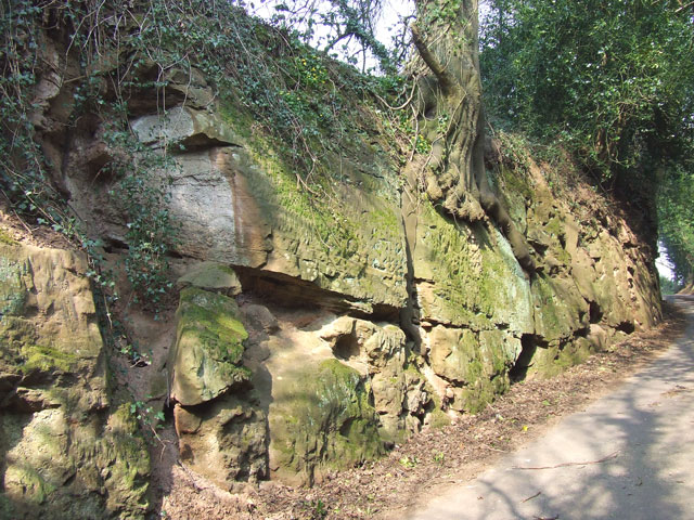
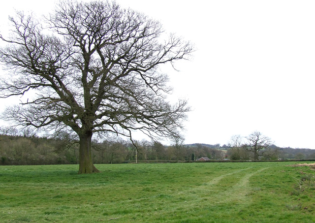
Stream Covert is a picturesque woodland located in Staffordshire, England. Situated within the larger area of Staffordshire Moorlands, it covers an approximate area of 200 acres. The woodland is known for its diverse range of trees, including oak, birch, and beech, creating a stunning natural landscape.
The enchanting Stream Covert takes its name from the small stream that flows through the forest, providing a tranquil atmosphere and adding to its overall charm. The babbling brook adds to the natural beauty and creates a soothing soundtrack for visitors.
The forest is home to a rich variety of wildlife, including various bird species, small mammals, and insects. Nature enthusiasts can enjoy birdwatching, as the woodland offers a sanctuary for many different avian species. The peaceful setting also attracts photographers and artists, who find inspiration in the beauty of the surroundings.
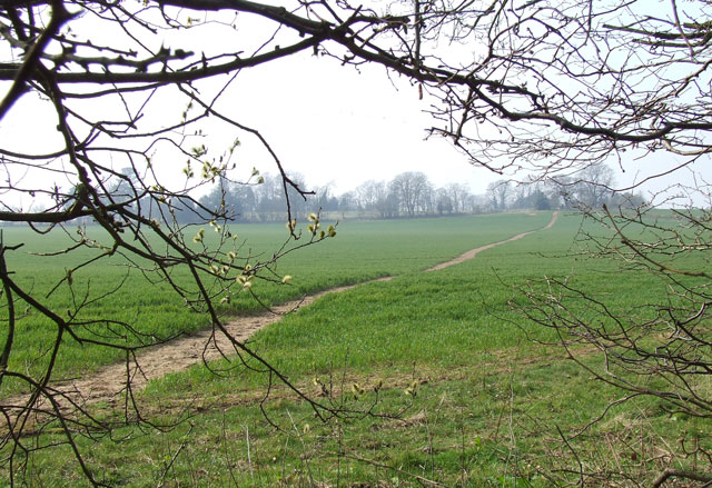
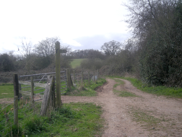
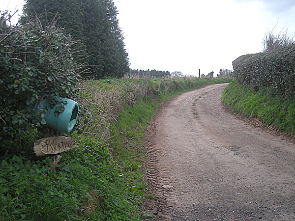
Visitors can explore the forest through a network of footpaths and trails, allowing them to discover its hidden treasures. Whether it's a leisurely stroll or a more adventurous hike, Stream Covert offers options for all levels of fitness and interests. The woodland is also popular among dog walkers, providing a perfect environment for both pets and their owners to enjoy the outdoors together.
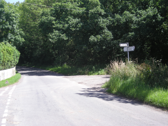
Stream Covert is easily accessible, with a car park located nearby, ensuring convenience for visitors. The woodland is open year-round, allowing nature lovers to experience its beauty in every season. Whether it's the vibrant colors of autumn, the fresh greenery of spring, or the peaceful snow-covered landscape of winter, Stream Covert offers a magical experience for all who venture into its depths.
If you have any feedback on the listing, please let us know in the comments section below.
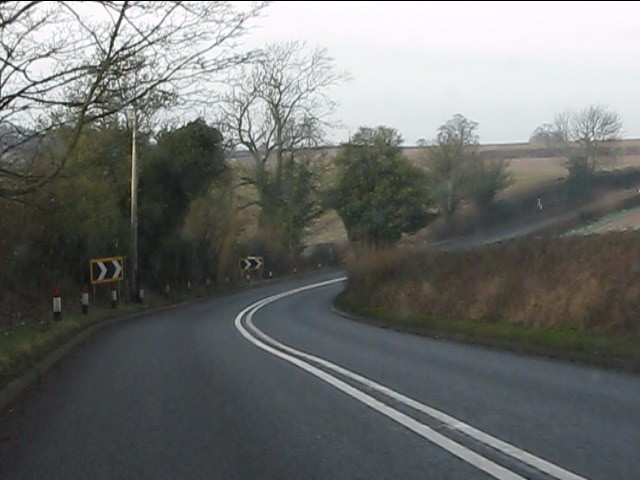
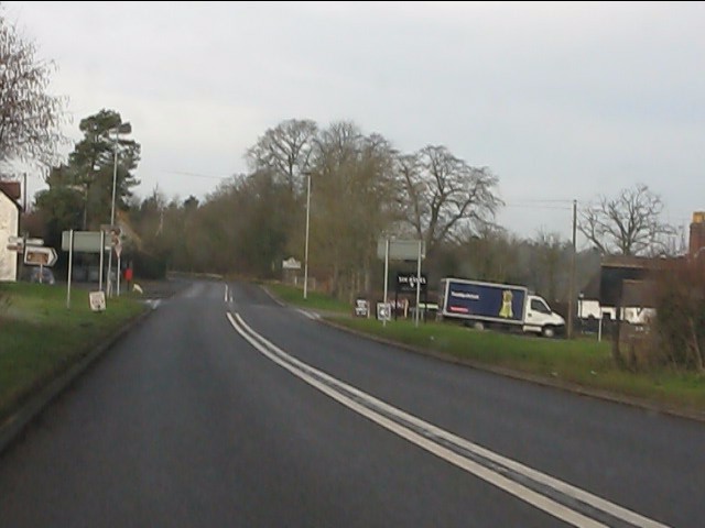
Stream Covert Images
Images are sourced within 2km of 52.487714/-2.2829738 or Grid Reference SO8087. Thanks to Geograph Open Source API. All images are credited.


Stream Covert is located at Grid Ref: SO8087 (Lat: 52.487714, Lng: -2.2829738)
Administrative County: Staffordshire
District: South Staffordshire
Police Authority: Staffordshire
What 3 Words
///stuffing.musically.curbed. Near Romsley, Shropshire
Nearby Locations
Related Wikis

Enville, Staffordshire
Enville is a village and civil parish in rural Staffordshire, England, on the A458 road between Stourbridge and Bridgnorth. Enville is in the South Staffordshire...

West Midlands (region)
The West Midlands is one of nine official regions of England at the first level of International Territorial Level for statistical purposes. It covers...

Great Fountain, Enville
The Great Fountain, Enville, was a fountain created in the mid-19th century by the Earl of Stamford in the middle of a lake on his Enville Hall estate...

Enville Hall
Enville Hall is an English Tudor country house in the village of Enville, Staffordshire. It is a Grade II listed building.The house has a 16th and 17th...

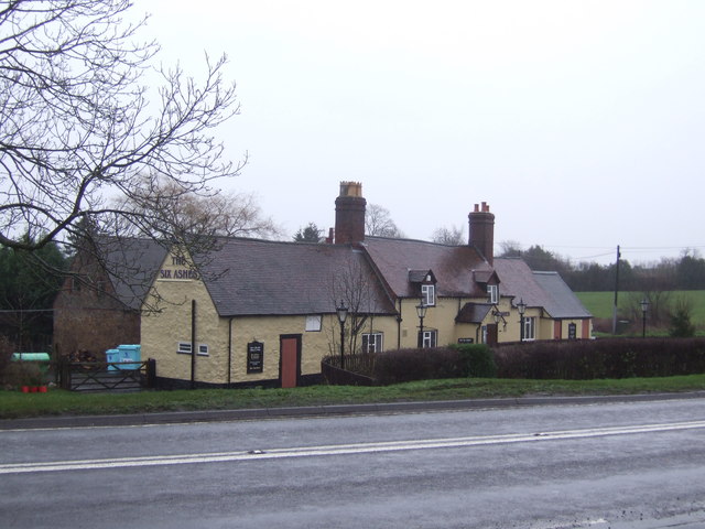
Six Ashes
Six Ashes is a small village in Shropshire, England, on the Shropshire side of the border with Staffordshire. == See also == Tripartite Indenture ��2...
Bobbington
Bobbington is a village and civil parish in the South Staffordshire district of Staffordshire, England, about 5 miles (8.0 km) west of Wombourne. According...

Mid Severn Sandstone Plateau
The Mid Severn Sandstone Plateau is a rural landscape and one of the natural regions of central England, straddling the border between the counties of...

Kingsnordley
Kingsnordley is a manor in the northern part of the parish of Alveley. This part of the parish has no nucleated village, but there is a Church of England...
Nearby Amenities
Located within 500m of 52.487714,-2.2829738Have you been to Stream Covert?
Leave your review of Stream Covert below (or comments, questions and feedback).