Chatcull Wood
Wood, Forest in Staffordshire Stafford
England
Chatcull Wood
Chatcull Wood is a woodland area located in the county of Staffordshire, England. Covering an area of approximately 100 acres, it is situated near the village of Forton, just north of the town of Newport. The wood is an important natural habitat and is managed by the Forestry Commission.
The woodland is primarily composed of mixed broadleaf trees, including oak, ash, birch, and beech, which create a diverse and vibrant ecosystem. It is home to a wide range of wildlife, including various bird species, mammals such as deer and foxes, and a variety of insects and small creatures.
Chatcull Wood offers visitors a tranquil and picturesque environment, with numerous walking trails and paths that allow for leisurely strolls and exploration. The wood is known for its beautiful bluebell displays in the spring, attracting many nature enthusiasts and photographers.
The Forestry Commission manages the wood with conservation and sustainable practices in mind. They undertake regular tree maintenance, planting new saplings, and implementing measures to protect the natural biodiversity of the area. Additionally, the wood serves as a recreational space for the local community, providing opportunities for outdoor activities such as picnicking, wildlife spotting, and nature walks.
Overall, Chatcull Wood is a cherished natural treasure in Staffordshire, offering a peaceful escape from the hustle and bustle of daily life and providing a valuable habitat for wildlife.
If you have any feedback on the listing, please let us know in the comments section below.
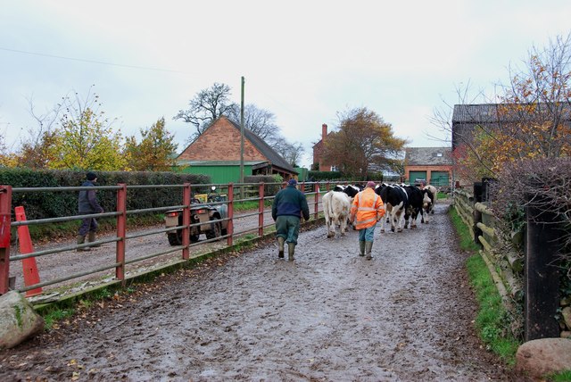
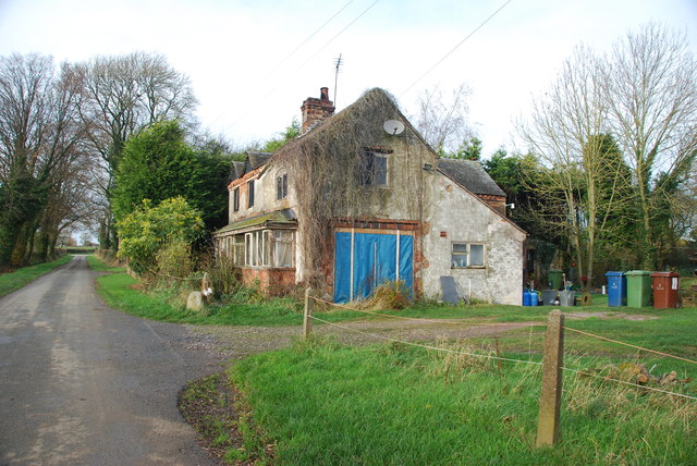
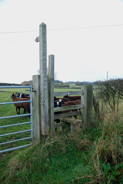
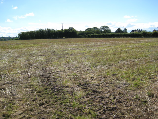
Chatcull Wood Images
Images are sourced within 2km of 52.903713/-2.2859021 or Grid Reference SJ8034. Thanks to Geograph Open Source API. All images are credited.


Chatcull Wood is located at Grid Ref: SJ8034 (Lat: 52.903713, Lng: -2.2859021)
Administrative County: Staffordshire
District: Stafford
Police Authority: Staffordshire
What 3 Words
///afflict.initiates.learn. Near Standon, Staffordshire
Nearby Locations
Related Wikis

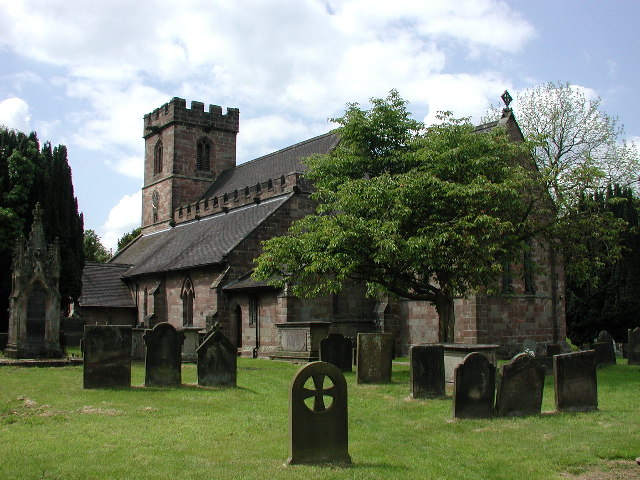
Standon, Staffordshire
Standon is a village and civil parish in the Stafford district, in the county of Staffordshire, England. Standon has a church called Church of All Saints...

Bowers, Staffordshire
Bowers is a village in Staffordshire, England. For population details as taken in the 2011 census see Standon.
Standon Bridge railway station
Standon Bridge railway station was a railway station in Standon, approximately 4 miles (6.4 km) west of Stone, Staffordshire. The station closed on 4 February...

Mill Meece Pumping Station
Mill Meece Pumping Station is a pumping station, located in the village of Mill Meece in Staffordshire, England. Its function, powered by steam engines...
Nearby Amenities
Located within 500m of 52.903713,-2.2859021Have you been to Chatcull Wood?
Leave your review of Chatcull Wood below (or comments, questions and feedback).