Haying Wood

Wood, Forest in Staffordshire Newcastle-under-Lyme

England

Haying Wood

Old Tin Barn, Newcastle Way Near Madeley Between Madeley Heath and Leycett on the Newcastle way. It has seen better days :)
Old Tin Barn, Newcastle Way Near Madeley Credit: Brian Deegan

Haying Wood is a picturesque woodland located in the county of Staffordshire, England. Covering an area of approximately 100 acres, this forested area offers a tranquil retreat for nature enthusiasts and outdoor adventurers alike.

The wood is predominantly made up of broadleaf trees, including oak, beech, and birch, providing a diverse ecosystem that supports a variety of flora and fauna. Bluebells, wild garlic, and ferns carpet the forest floor during the spring and summer months, creating a vibrant and enchanting atmosphere.

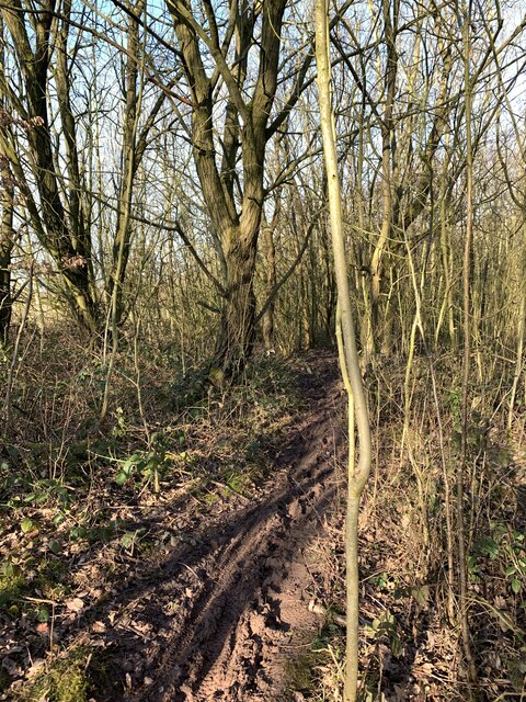
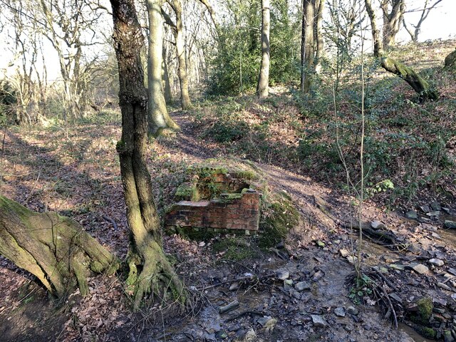
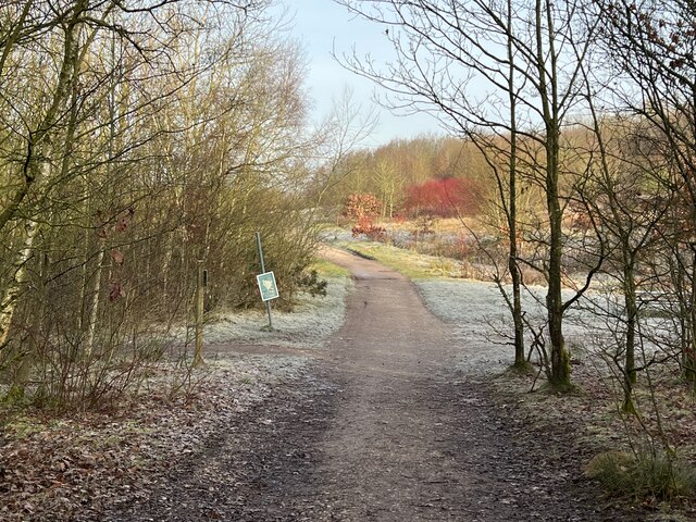
Haying Wood is crisscrossed by a network of well-maintained footpaths, allowing visitors to explore its hidden gems and appreciate its natural beauty. The paths wind through the woodland, leading visitors to charming clearings, babbling brooks, and moss-covered rocks. The sound of birdsong fills the air, with species such as woodpeckers, nuthatches, and robins calling the wood their home.

The wood also boasts a small pond, providing a haven for various aquatic creatures and a tranquil spot for reflection. This serene water feature attracts dragonflies, frogs, and newts, adding to the diversity of wildlife that can be observed in Haying Wood.

Haying Wood is well-loved by locals and visitors alike, offering a peaceful escape from the hustle and bustle of everyday life. Whether it is a leisurely walk, a family picnic, or a wildlife spotting adventure, this Staffordshire woodland never fails to captivate and inspire those who venture within its boundaries.

If you have any feedback on the listing, please let us know in the comments section below.
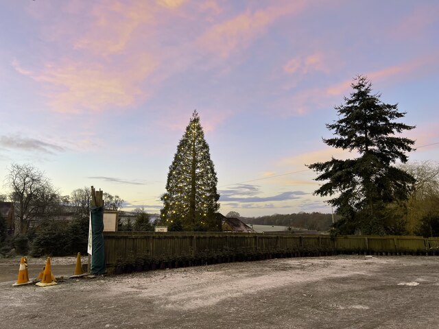
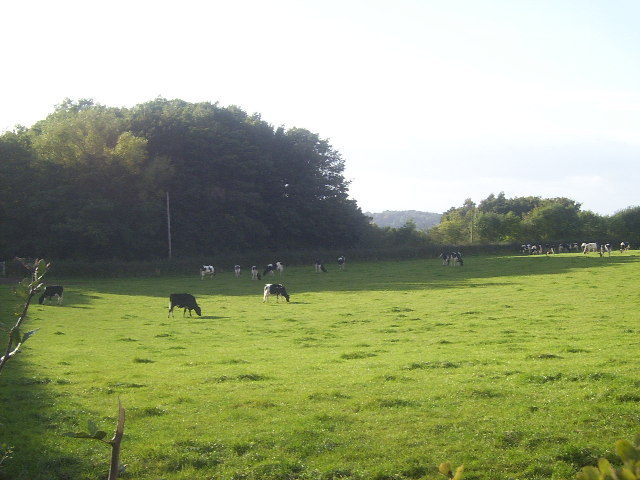
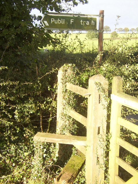
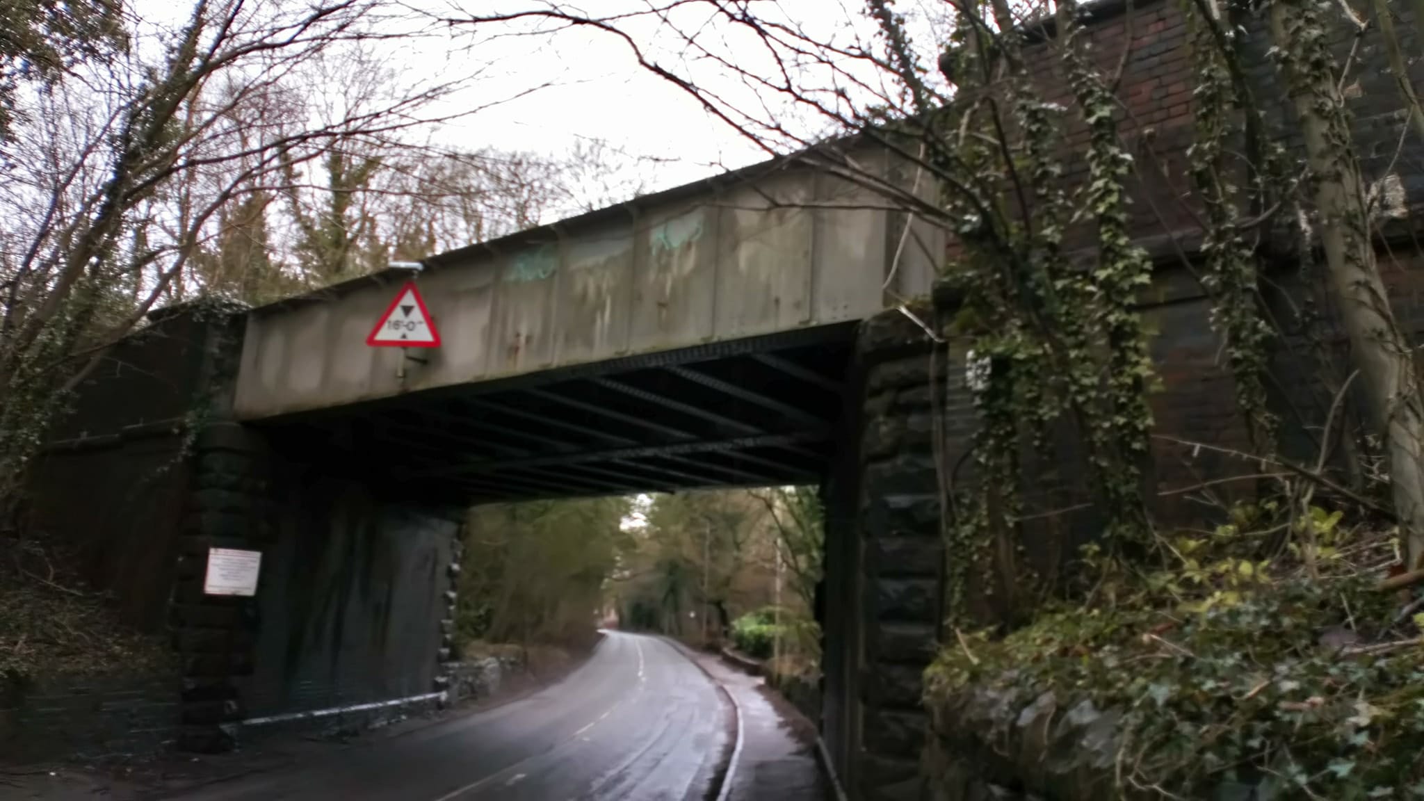
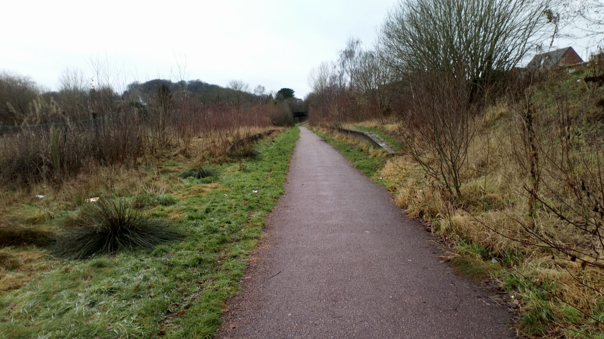
Haying Wood Images

Images are sourced within 2km of 53.017385/-2.2920199 or Grid Reference SJ8046. Thanks to Geograph Open Source API. All images are credited.

Old Tin Barn, Newcastle Way Near Madeley Between Madeley Heath and Leycett on the Newcastle way. It has seen better days :)
Old Tin Barn, Newcastle Way Near Madeley
Between Madeley Heath and Leycett on the Newcastle way. It has seen better days :)
The Bath Is Ready, Newcastle Way, Leycett
Rutted path in Bates Wood The deep ruts are caused by cycle wheels. The path is designated Audley FP 110.
Rutted path in Bates Wood
The deep ruts are caused by cycle wheels. The path is designated Audley FP 110.
Footings of former brick structure in Bates Wood This brick structure was presumably part of the mine workings which operated here.
Footings of former brick structure in Bates Wood
This brick structure was presumably part of the mine workings which operated here.
First in the queue at the tip Newcastle-under-Lyme recycling centre is situated in the hamlet of Leycett, a former mining village. 
website <span class="nowrap"><a title="https://www.staffordshire.gov.uk/Waste-and-recycling/recyclingcentres/NewcastleRecyclingCentre.aspx" rel="nofollow ugc noopener" href="https://www.staffordshire.gov.uk/Waste-and-recycling/recyclingcentres/NewcastleRecyclingCentre.aspx">Link</a><img style="margin-left:2px;" alt="External link" title="External link - shift click to open in new window" src="https://s1.geograph.org.uk/img/external.png" width="10" height="10"/></span>
First in the queue at the tip
Newcastle-under-Lyme recycling centre is situated in the hamlet of Leycett, a former mining village. website LinkExternal link
Newcastle-under-Lyme recycling centre aka 'Leycett tip'
Newcastle-under-Lyme recycling centre
aka 'Leycett tip'
Newcastle-under-Lyme recycling centre aka 'Leycett tip'
Newcastle-under-Lyme recycling centre
aka 'Leycett tip'
Trees at Keele Christmas Tree Farm
Keele Christmas Tree Farm
Snowy track through Bateswood Country Park Bateswood Country Park, north-west of Newcastle-under-Lyme in Staffordshire and adjacent to the village of Halmer End, is designated as a Local Nature Reserve (LNR). It was developed after the cessation of opencast mining in the 1990s, which left the area as a barren wasteland with poor quality soil. Birch reforestation and the creation of a lake have improved the habitat for wildlife, while a network of footpaths and a bridle path create access to most parts of the site. In 2012 managed fishing by a local angling club was permitted, in an attempt to curb illicit fishing.

The site is managed by Newcastle Borough Council in partnership with Halmer End Wildlife Trust, a group of volunteers.

This site is not to be confused with Staffordshire Wildlife Trust's reserve immediately to the south, also called Bateswood (see <a title="https://www.geograph.org.uk/snippet/12701)" href="https://www.geograph.org.uk/snippet/12701)">Link</a>.
Snowy track through Bateswood Country Park
Bateswood Country Park, north-west of Newcastle-under-Lyme in Staffordshire and adjacent to the village of Halmer End, is designated as a Local Nature Reserve (LNR). It was developed after the cessation of opencast mining in the 1990s, which left the area as a barren wasteland with poor quality soil. Birch reforestation and the creation of a lake have improved the habitat for wildlife, while a network of footpaths and a bridle path create access to most parts of the site. In 2012 managed fishing by a local angling club was permitted, in an attempt to curb illicit fishing. The site is managed by Newcastle Borough Council in partnership with Halmer End Wildlife Trust, a group of volunteers. This site is not to be confused with Staffordshire Wildlife Trust's reserve immediately to the south, also called Bateswood (see Link.
Muddy woodland path Bateswood Country Park, north-west of Newcastle-under-Lyme in Staffordshire and adjacent to the village of Halmer End, is designated as a Local Nature Reserve (LNR). It was developed after the cessation of opencast mining in the 1990s, which left the area as a barren wasteland with poor quality soil. Birch reforestation and the creation of a lake have improved the habitat for wildlife, while a network of footpaths and a bridle path create access to most parts of the site. In 2012 managed fishing by a local angling club was permitted, in an attempt to curb illicit fishing.

The site is managed by Newcastle Borough Council in partnership with Halmer End Wildlife Trust, a group of volunteers.

This site is not to be confused with Staffordshire Wildlife Trust's reserve immediately to the south, also called Bateswood (see <a title="https://www.geograph.org.uk/snippet/12701)" href="https://www.geograph.org.uk/snippet/12701)">Link</a>.
Muddy woodland path
Bateswood Country Park, north-west of Newcastle-under-Lyme in Staffordshire and adjacent to the village of Halmer End, is designated as a Local Nature Reserve (LNR). It was developed after the cessation of opencast mining in the 1990s, which left the area as a barren wasteland with poor quality soil. Birch reforestation and the creation of a lake have improved the habitat for wildlife, while a network of footpaths and a bridle path create access to most parts of the site. In 2012 managed fishing by a local angling club was permitted, in an attempt to curb illicit fishing. The site is managed by Newcastle Borough Council in partnership with Halmer End Wildlife Trust, a group of volunteers. This site is not to be confused with Staffordshire Wildlife Trust's reserve immediately to the south, also called Bateswood (see Link.
Track and path junction in Bateswood Country Park Bateswood Country Park, north-west of Newcastle-under-Lyme in Staffordshire and adjacent to the village of Halmer End, is designated as a Local Nature Reserve (LNR). It was developed after the cessation of opencast mining in the 1990s, which left the area as a barren wasteland with poor quality soil. Birch reforestation and the creation of a lake have improved the habitat for wildlife, while a network of footpaths and a bridle path create access to most parts of the site. In 2012 managed fishing by a local angling club was permitted, in an attempt to curb illicit fishing.

The site is managed by Newcastle Borough Council in partnership with Halmer End Wildlife Trust, a group of volunteers.

This site is not to be confused with Staffordshire Wildlife Trust's reserve immediately to the south, also called Bateswood (see <a title="https://www.geograph.org.uk/snippet/12701)" href="https://www.geograph.org.uk/snippet/12701)">Link</a>.
Track and path junction in Bateswood Country Park
Bateswood Country Park, north-west of Newcastle-under-Lyme in Staffordshire and adjacent to the village of Halmer End, is designated as a Local Nature Reserve (LNR). It was developed after the cessation of opencast mining in the 1990s, which left the area as a barren wasteland with poor quality soil. Birch reforestation and the creation of a lake have improved the habitat for wildlife, while a network of footpaths and a bridle path create access to most parts of the site. In 2012 managed fishing by a local angling club was permitted, in an attempt to curb illicit fishing. The site is managed by Newcastle Borough Council in partnership with Halmer End Wildlife Trust, a group of volunteers. This site is not to be confused with Staffordshire Wildlife Trust's reserve immediately to the south, also called Bateswood (see Link.
Foggy day at Bateswood SWT A former opencast coal mining site, the plateau at Bateswood was formed by the heavy subsoil exposed during mining. The 24.7ha site is now managed by Staffordshire Wildlife Trust, and access to the plateau itself is restricted as it is fenced for grazing. Much of the area is boggy and two shallow pools enhance the site's attractiveness to insects and amphibians. The SWT's page on Bateswood is at <span class="nowrap"><a title="http://www.staffs-wildlife.org.uk/reserves/Bateswood" rel="nofollow ugc noopener" href="http://www.staffs-wildlife.org.uk/reserves/Bateswood">Link</a><img style="margin-left:2px;" alt="External link" title="External link - shift click to open in new window" src="https://s1.geograph.org.uk/img/external.png" width="10" height="10"/></span>.

NB: This is not to be confused with Bateswood Country Park, which lies immediately to the north and is managed by Newcastle Borough Council and Halmer End Wildllife Trust.
Foggy day at Bateswood SWT
A former opencast coal mining site, the plateau at Bateswood was formed by the heavy subsoil exposed during mining. The 24.7ha site is now managed by Staffordshire Wildlife Trust, and access to the plateau itself is restricted as it is fenced for grazing. Much of the area is boggy and two shallow pools enhance the site's attractiveness to insects and amphibians. The SWT's page on Bateswood is at LinkExternal link. NB: This is not to be confused with Bateswood Country Park, which lies immediately to the north and is managed by Newcastle Borough Council and Halmer End Wildllife Trust.
Gorse in bloom on a foggy January day A former opencast coal mining site, the plateau at Bateswood was formed by the heavy subsoil exposed during mining. The 24.7ha site is now managed by Staffordshire Wildlife Trust, and access to the plateau itself is restricted as it is fenced for grazing. Much of the area is boggy and two shallow pools enhance the site's attractiveness to insects and amphibians. The SWT's page on Bateswood is at <span class="nowrap"><a title="http://www.staffs-wildlife.org.uk/reserves/Bateswood" rel="nofollow ugc noopener" href="http://www.staffs-wildlife.org.uk/reserves/Bateswood">Link</a><img style="margin-left:2px;" alt="External link" title="External link - shift click to open in new window" src="https://s1.geograph.org.uk/img/external.png" width="10" height="10"/></span>.

NB: This is not to be confused with Bateswood Country Park, which lies immediately to the north and is managed by Newcastle Borough Council and Halmer End Wildllife Trust.
Gorse in bloom on a foggy January day
A former opencast coal mining site, the plateau at Bateswood was formed by the heavy subsoil exposed during mining. The 24.7ha site is now managed by Staffordshire Wildlife Trust, and access to the plateau itself is restricted as it is fenced for grazing. Much of the area is boggy and two shallow pools enhance the site's attractiveness to insects and amphibians. The SWT's page on Bateswood is at LinkExternal link. NB: This is not to be confused with Bateswood Country Park, which lies immediately to the north and is managed by Newcastle Borough Council and Halmer End Wildllife Trust.
Viewing screen at Bateswood SWT A taller screen with viewing slots has been erected within the previous simpler viewing area, partly in an attempt to reduce ease of trespass onto the plateau by humans and dogs.
Viewing screen at Bateswood SWT
A taller screen with viewing slots has been erected within the previous simpler viewing area, partly in an attempt to reduce ease of trespass onto the plateau by humans and dogs.
Merrily Munching Cows A lot of the region around this area is devoted to cattle, mostly dairy cattle. Here is a herd of calves, apparently all male (I didn't check!), presumably being fattened up to make beefburgers. Curiously enough, the map charts a railway not far behind the woodland at the rear of the image, which continues down into <a href="https://www.geograph.org.uk/gridref/SJ7944">SJ7944</a>, yet no evidence of it is visible, save some abandoned cuttings.
Merrily Munching Cows
A lot of the region around this area is devoted to cattle, mostly dairy cattle. Here is a herd of calves, apparently all male (I didn't check!), presumably being fattened up to make beefburgers. Curiously enough, the map charts a railway not far behind the woodland at the rear of the image, which continues down into SJ7944, yet no evidence of it is visible, save some abandoned cuttings.
Stile near Highway Farm Any more iconic and this would be on a shortbread tin... at least up in Scotland! This square also contains the North Staffordshire Railway, which, despite being closed down as part of the Beeching plan, is still shown as being very much alive on maps today.
Stile near Highway Farm
Any more iconic and this would be on a shortbread tin... at least up in Scotland! This square also contains the North Staffordshire Railway, which, despite being closed down as part of the Beeching plan, is still shown as being very much alive on maps today.
Show me another place!

Haying Wood is located at Grid Ref: SJ8046 (Lat: 53.017385, Lng: -2.2920199)

Administrative County: Staffordshire

District: Newcastle-under-Lyme

Police Authority: Staffordshire

What 3 Words

///prospered.trials.detained. Near Keele, Staffordshire

Related Wikis

Leycett

Leycett was a small mining village in Staffordshire in the Borough of Newcastle-under-Lyme which was built in the late eighteen sixties to accommodate...

Keele railway station

Keele railway station is a disused railway station in Staffordshire, England. The Stoke to Market Drayton Line was opened by the North Staffordshire Railway...

Scot Hay

Scot Hay is a hamlet located outside the town of Newcastle-under-lyme, Staffordshire, England. It is located near Keele University and also the villages...

Silverdale railway station (Staffordshire)

Silverdale railway station was a railway station that served the village of Silverdale, Staffordshire, England. It was opened by the North Staffordshire...

Leycett railway station

Leycett railway station is a disused railway station in Staffordshire, England. The station was situated on the North Staffordshire Railway (NSR) Audley...

Keele

Keele is a village and civil parish in the Borough of Newcastle-under-Lyme in Staffordshire, England. It is approximately 3 miles (4.8 km) west of Newcastle...

Apedale

Apedale is a village in Staffordshire, England. The population at the 2011 census can be found under the Holditch (Ward) of Newcastle-under-Lyme. The village...

Silverdale, Staffordshire

Silverdale is a village and civil parish in the Borough of Newcastle-under-Lyme in Staffordshire, west of Newcastle-under-Lyme. It is a self contained...

Nearby Amenities

Located within 500m of 53.017385,-2.2920199
Bus Stop
Cheltenham Grove
Bus: yes
Naptan AtcoCode: 3800C506100
Naptan Bearing: NW
Naptan BusStopType: CUS
Naptan CommonName: Cheltenham Grove
Naptan Indicator: Adj
Naptan Landmark: Cheltenham Grove
Naptan PlusbusZoneRef: STOKEOT
Naptan Street: Cheddar Drive
Naptan Verified: no
Public Transport: platform
Source: naptan_import
Lat/Long: 53.0180552/-2.2897631
Bus Stop
Toll House
Bus: yes
Naptan AtcoCode: 3800C517701
Naptan Bearing: E
Naptan CommonName: Toll House
Naptan Indicator: Adj
Naptan Landmark: Toll House
Naptan PlusbusZoneRef: STOKEOT
Naptan Street: Scot Hay Road
Naptan Verified: no
Public Transport: platform
Source: naptan_import
Lat/Long: 53.0211731/-2.2940179
Bus Stop
Crackley Gate Farm
Bus: yes
Naptan AtcoCode: 3800C517702
Naptan Bearing: W
Naptan CommonName: Crackley Gate Farm
Naptan Indicator: Adj
Naptan Landmark: Crackley Gate Farm
Naptan PlusbusZoneRef: STOKEOT
Naptan Street: Scot Hay Rd
Naptan Verified: no
Public Transport: platform
Source: naptan_import
Lat/Long: 53.0210919/-2.2941516
Bus Stop
Droitwich Close
Bus: yes
Naptan AtcoCode: 3800C522701
Naptan Bearing: N
Naptan CommonName: Droitwich Close
Naptan Indicator: Adj
Naptan Landmark: Droitwich Close
Naptan PlusbusZoneRef: STOKEOT
Naptan Street: Peebles Road
Naptan Verified: no
Public Transport: platform
Source: naptan_import
Lat/Long: 53.0198908/-2.287547
Bus Stop
Droitwich Close
Bus: yes
Naptan AtcoCode: 3800C522702
Naptan Bearing: S
Naptan CommonName: Droitwich Close
Naptan Indicator: Opp
Naptan Landmark: Droitwich Close
Naptan PlusbusZoneRef: STOKEOT
Naptan Street: Peebles Road
Naptan Verified: no
Public Transport: platform
Source: naptan_import
Lat/Long: 53.0198199/-2.2876603
Bus Stop
Bath Road
Bus: yes
Naptan AtcoCode: 3800C523001
Naptan Bearing: N
Naptan BusStopType: CUS
Naptan CommonName: Bath Road
Naptan Indicator: Adj
Naptan Landmark: Bath Road
Naptan PlusbusZoneRef: STOKEOT
Naptan Street: Peebles Road
Naptan Verified: no
Public Transport: platform
Source: naptan_import
Lat/Long: 53.0186561/-2.2866515
Bus Stop
Bath Road
Bus: yes
Naptan AtcoCode: 3800C523002
Naptan Bearing: S
Naptan CommonName: Bath Road
Naptan Indicator: Adj
Naptan Landmark: Bath Road (S)
Naptan PlusbusZoneRef: STOKEOT
Naptan Street: Peebles Road
Naptan Verified: no
Public Transport: platform
Source: naptan_import
Lat/Long: 53.0185844/-2.2865467
Bus Stop
Shops
Bus: yes
Naptan AtcoCode: 3800C523101
Naptan Bearing: SE
Naptan CommonName: Shops
Naptan Indicator: Opp
Naptan Landmark: Shops
Naptan PlusbusZoneRef: STOKEOT
Naptan Street: Bath Rd
Naptan Verified: no
Public Transport: platform
Source: naptan_import
Lat/Long: 53.0178999/-2.2861582
Bus Stop
Shops
Bus: yes
Naptan AtcoCode: 3800C523102
Naptan Bearing: NW
Naptan CommonName: Shops
Naptan Indicator: Adj
Naptan Landmark: Shops
Naptan PlusbusZoneRef: STOKEOT
Naptan Street: Bath Rd
Naptan Verified: no
Public Transport: platform
Source: naptan_import
Lat/Long: 53.0175796/-2.2857053
Turning Circle
Lat/Long: 53.0196207/-2.2865121
Crackley Gates
Place: hamlet
Lat/Long: 53.0217352/-2.2937646
Man Made: tower
Tower Type: communication
Lat/Long: 53.0171592/-2.2957834
Power: pole
Lat/Long: 53.0214312/-2.2911059
Power: pole
Lat/Long: 53.0215953/-2.2915977
Power: pole
Lat/Long: 53.0165044/-2.2897051
Power: pole
Lat/Long: 53.0160138/-2.2887422
Power: pole
Lat/Long: 53.019065/-2.2951908
Power: pole
Lat/Long: 53.0199912/-2.2920091
Power: pole
Lat/Long: 53.0186568/-2.2921218
Power: pole
Lat/Long: 53.0208752/-2.2921007
Power: pole
Lat/Long: 53.0207737/-2.2919474
Power: pole
Lat/Long: 53.0151312/-2.2883157
Power: pole
Lat/Long: 53.0192151/-2.2936345
Power: pole
Lat/Long: 53.0200105/-2.2921996
Power: pole
Lat/Long: 53.0205252/-2.2936453
Power: pole
Lat/Long: 53.020722/-2.2919501
Power: pole
Lat/Long: 53.0180308/-2.2921754
Power: pole
Lat/Long: 53.0174709/-2.2922157
Power: pole
Lat/Long: 53.0136789/-2.2880073
Power: pole
Lat/Long: 53.0170207/-2.2906224
Power: pole
Lat/Long: 53.0207043/-2.2921057
Power: pole
Lat/Long: 53.0144631/-2.287959
Power: pole
Lat/Long: 53.019257/-2.2920708
Power: pole
Lat/Long: 53.0193651/-2.2922773
Power: pole
Lat/Long: 53.0137338/-2.2924651
Power: pole
Lat/Long: 53.0134627/-2.2902415
Power: pole
Lat/Long: 53.0136434/-2.2919126
Power: pole
Lat/Long: 53.0134952/-2.2912279
Power: pole
Lat/Long: 53.0134223/-2.2890533
Power: pole
Lat/Long: 53.0180451/-2.297488
Power: pole
Lat/Long: 53.0167567/-2.2989028
Power: pole
Lat/Long: 53.0189462/-2.2964728
Power: pole
Lat/Long: 53.0174089/-2.2981265
Power: pole
Lat/Long: 53.0213139/-2.2920458
Power: pole
Lat/Long: 53.0217729/-2.2931736
Power: pole
Lat/Long: 53.0211054/-2.2896947
Historic: mine_shaft
Source: OS 1:25k
Lat/Long: 53.0177189/-2.2929639
Historic: mine_shaft
Source: OS 1:25k
Lat/Long: 53.0161447/-2.2877476
Natural: peak
Source: OS 1:25k
Lat/Long: 53.0171113/-2.2913903
Power: pole
Lat/Long: 53.0208115/-2.288343
Parking
Lat/Long: 53.0209838/-2.2903994
The data included in this document is from www.openstreetmap.org. The data is made available under ODbL.

Have you been to Haying Wood?

Leave your review of Haying Wood below (or comments, questions and feedback).