Well Wood

Wood, Forest in Cheshire

England

Well Wood

Hill summit & trig point near Meadowlands Near centre of square
Hill summit & trig point near Meadowlands Credit: Chris Shaw

Well Wood is a picturesque woodland located in the county of Cheshire, England. Spread over an area of approximately 100 acres, this ancient forest is known for its natural beauty and rich biodiversity. It is situated near the village of Well, providing a peaceful retreat for visitors seeking solace in nature.

The woodland is predominantly composed of deciduous trees such as oak, beech, and birch, which create a dense canopy, allowing only speckles of sunlight to filter through. This creates a serene atmosphere and provides a habitat for a wide range of flora and fauna.

Well Wood is home to various wildlife species, including deer, foxes, badgers, and a multitude of bird species. Birdwatchers can spot woodpeckers, nuthatches, and tawny owls among the branches, while nature enthusiasts can enjoy the sight of wildflowers such as bluebells, primroses, and foxgloves carpeting the forest floor during the spring months.

The wood offers several well-maintained walking trails, allowing visitors to explore its hidden gems and enjoy the tranquility of nature. These paths wind through the ancient trees, offering glimpses of moss-covered rocks and babbling brooks along the way. There are also designated picnic areas, providing a perfect spot to relax and enjoy a meal amidst the peaceful surroundings.

Well Wood is a popular destination for both locals and tourists alike, offering an opportunity to escape the hustle and bustle of everyday life. Whether it's a leisurely stroll, a birdwatching expedition, or simply a moment of reflection, this idyllic woodland provides a rejuvenating experience for all who venture within its boundaries.

If you have any feedback on the listing, please let us know in the comments section below.
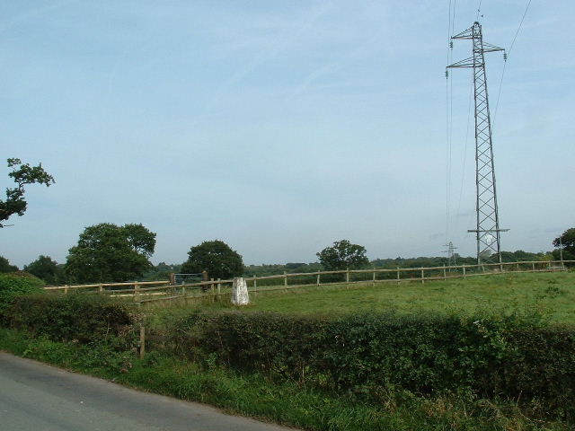
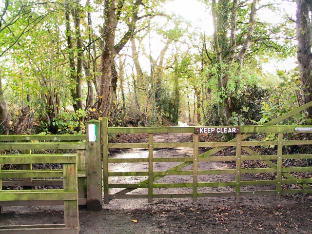
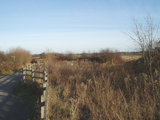
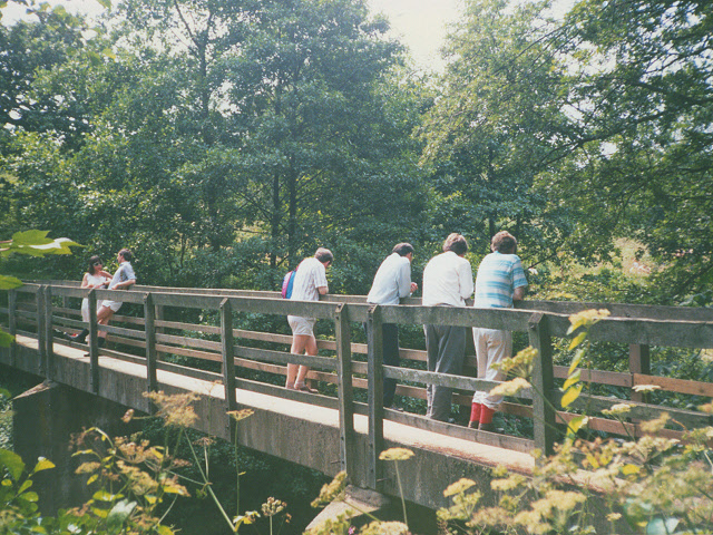
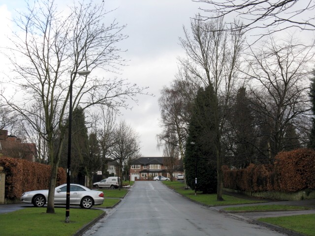
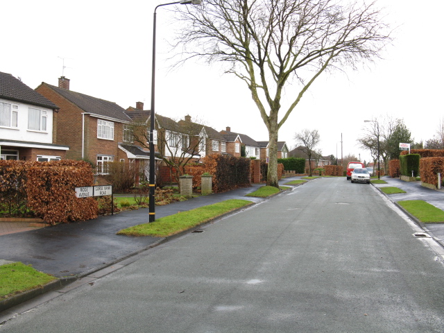
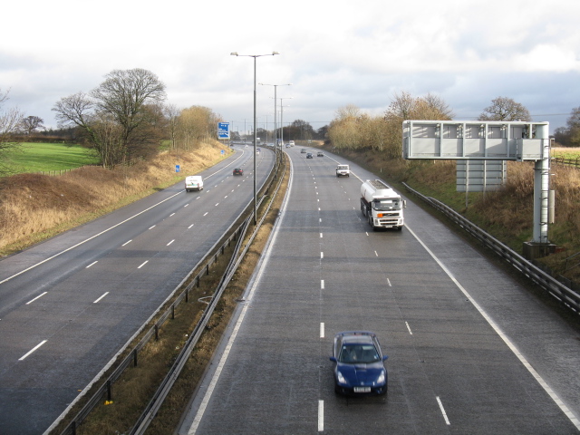
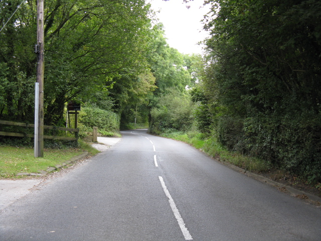
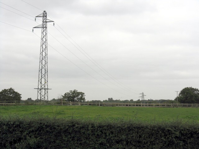
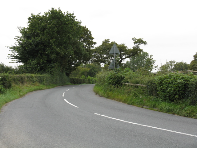
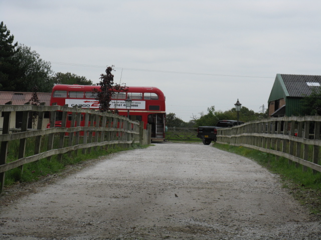
Well Wood Images

Images are sourced within 2km of 53.348266/-2.2959304 or Grid Reference SJ8083. Thanks to Geograph Open Source API. All images are credited.

Hill summit & trig point near Meadowlands Near centre of square
Hill summit & trig point near Meadowlands
Near centre of square
Sunnybank Wood The entrance to this private wood which, in conjunction with the Forestry Commission, is open to the pedestrian public.
Sunnybank Wood
The entrance to this private wood which, in conjunction with the Forestry Commission, is open to the pedestrian public.
Middle House Farm Looking west from Brickhill Lane, through open gateway  across pasture towards Middle House Farm.
Middle House Farm
Looking west from Brickhill Lane, through open gateway across pasture towards Middle House Farm.
Track off  Wood Lane leading to Stock-in-Hey Farm Looking NE, Manchester airport runway 2 just visible on right.
Track off Wood Lane leading to Stock-in-Hey Farm
Looking NE, Manchester airport runway 2 just visible on right.
Landing on runway 2 at Manchester Airport Landing into the wind.
This was taken in the year the second runway first opened.
Landing on runway 2 at Manchester Airport
Landing into the wind. This was taken in the year the second runway first opened.
Footbridge over the Bollin at Thorns Green
Hale Barns - Carrwood, looking east The builders are at work on several of the houses on this rather upmarket road.
Hale Barns - Carrwood, looking east
The builders are at work on several of the houses on this rather upmarket road.
Hale Barns - Carrwood, looking north The eastern end of this rather exclusive road in one of Manchester's most desirable suburbs. The white van is a tradesman's, naturally.
Hale Barns - Carrwood, looking north
The eastern end of this rather exclusive road in one of Manchester's most desirable suburbs. The white van is a tradesman's, naturally.
The Name Changes Ridge Road becomes Gorse Bank Road at a seemingly arbitrary point along this suburban road.
The Name Changes
Ridge Road becomes Gorse Bank Road at a seemingly arbitrary point along this suburban road.
M56 Nearing Junction 6
Mill Lane Near Castle Mill Farm
Power Lines At Meadowlands
Mill Lane At Meadowlands
Access To Middle House Farm
Fields Of Middle House Farm
Crash Gate No.11 Emergency access to Manchester Airport's second runway at its Mobberley end.
Crash Gate No.11
Emergency access to Manchester Airport's second runway at its Mobberley end.
Footpath On The Access To Stock-In-Hey Farm
Got Lost Mate? A London Routemaster bus is an expected feature of this stud farm close to Manchester Airport.
Got Lost Mate?
A London Routemaster bus is an expected feature of this stud farm close to Manchester Airport.
Show me another place!

Well Wood is located at Grid Ref: SJ8083 (Lat: 53.348266, Lng: -2.2959304)

Unitary Authority: Manchester

Police Authority: Greater Manchester

What 3 Words

///answers.bravo.motivator. Near Ringway, Manchester

Nearby Locations

Well Wood

Related Wikis

Cotterill Clough Nature Reserve

Cotterill Clough is a 5.6-hectare (14-acre) nature reserve near Manchester Airport. It is managed by the Cheshire Wildlife Trust and lies within a larger...

Ullerwood Castle

Ullerwood Castle is an early medieval castle, possibly a shell keep, in Ringway, Manchester, England (grid reference SJ800838). The castle is first referred...

1985 Manchester Airport disaster

The 1985 Manchester Airport disaster occurred when British Airtours Flight 28M (officially known as Flight 328), an international passenger flight, en...

Oversleyford

There are places called Oversley elsewhere in England.Oversley and Oversleyford (sometimes Oversley Ford) is a name used for some places in an area near...

History of Manchester Airport

The origins of Manchester Airport in England, UK, date back to the 1930s. Construction started on Ringway on 28 November 1935 and it opened partly in June...
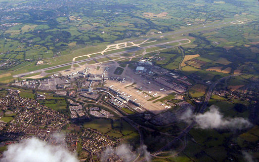
Manchester Airport

Manchester Airport (IATA: MAN, ICAO: EGCC) is an international airport in Ringway, Manchester, England, 7.5 nautical miles (13.9 km; 8.6 mi) south-west...

RAF Ringway

Royal Air Force Ringway or more simply RAF Ringway is a former Royal Air Force satellite station in Ringway, Cheshire, England, near Manchester. It was...

Warburton Green

Warburton Green is a district of Hale Barns, Greater Manchester. It is situated to the south east of the centre of the village, close to the M56 and River...

Related Videos

TRAVEL DAY | MANCHESTER AIRPORT - to our DREAM DESTINATION

Welcome to our family channel MDT OUTDOOR ADVENTURES for our travel day video We depart Manchester Airport Terminal 2 ...

ORLANDO TRAVEL DAY! Manchester to Melbourne! Stopping at Universal's Endless summer Dockside for HHN

Our very eventful travel day to Orlando, Florida. Join us on our Journey to Universal Studios Dockside resorts September 2022.

Why do thousands of Britons travel abroad every summer?#travel #british

When you get your regular rainy British Summer, why not to head off abroad to catch some sun #travel.

TUI! Are You Looking To Fly With Them?

In this upload we capture one of TUI's Dreamliner fleet landing on runway 05R at Manchester Airport, but what I would like to know ...

Nearby Amenities

Located within 500m of 53.348266,-2.2959304
Cat: 1;2
Lat/Long: 53.3460261/-2.2933987
Aeroway: holding_position
Holding Position Type: runway
Ref: AG1
Lat/Long: 53.3478288/-2.2907285
Barrier: stile
Lat/Long: 53.3519579/-2.2970149
Barrier: stile
Lat/Long: 53.3464366/-2.3024397
Barrier: stile
Lat/Long: 53.3471662/-2.3031672
Barrier: stile
Lat/Long: 53.3504233/-2.2991845
Barrier: stile
Lat/Long: 53.3510214/-2.2989037
Barrier: stile
Lat/Long: 53.3504866/-2.2996219
Aeroway: navigationaid
Navigationaid: als
Lat/Long: 53.3439097/-2.2953404
Bus Stop
Wilmslow Road/Mill Lane
Bus: yes
Naptan AtcoCode: 1800SB41261
Naptan Bearing: N
Naptan CommonName: Wilmslow Road/Mill Lane
Naptan Indicator: Runway Bridge
Naptan Landmark: RUNWAY BRIDGE
Naptan NaptanCode: mangwjtj
Naptan PlusbusZoneRef: MNCRPIC
Naptan ShortCommonName: Mill Lane
Naptan Street: WILMSLOW ROAD
Naptan Verified: no
Network: TfGM
Public Transport: platform
Source: naptan_import
Lat/Long: 53.3510283/-2.2913552
Bus Stop
Manchester Airport, Wilmslow Road / opposite Mill Lane
Bus: yes
Naptan AtcoCode: 1800SB41661
Naptan Bearing: S
Naptan CommonName: Wilmslow Road/Mill Lane
Naptan Indicator: Openland
Naptan Landmark: OPENLAND
Naptan NaptanCode: mangwmam
Naptan ShortCommonName: Mill Lane
Naptan Street: WILMSLOW ROAD
Naptan Verified: no
Network: TfGM
Operator: TfGM
Public Transport: platform
Source: naptan_import
Lat/Long: 53.3499841/-2.2906409
Aeroway: holding_position
Cat: 3
Source: Bing
Lat/Long: 53.3474788/-2.2923204
Aeroway: holding_position
Holding Position Type: runway
Ref: AG1
Lat/Long: 53.3477385/-2.2909345
Aeroway: navigationaid
Navigationaid: als
Lat/Long: 53.3442222/-2.2946712
Aeroway: holding_position
Holding Position Type: intermediate
Ref: A2
Lat/Long: 53.3492436/-2.2889801
Aeroway: holding_position
Holding Position Type: runway
Ref: A1
Lat/Long: 53.3465917/-2.2933914
Barrier: yes
Lat/Long: 53.3502623/-2.2949729
Leisure: nature_reserve
Wikidata: Q5175597
Wikipedia: en:Cotterill Clough Nature Reserve
Lat/Long: 53.3514385/-2.2966564
The data included in this document is from www.openstreetmap.org. The data is made available under ODbL.

Have you been to Well Wood?

Leave your review of Well Wood below (or comments, questions and feedback).