Tackmead Wood

Wood, Forest in Gloucestershire Cotswold

England

Tackmead Wood

Stone Stile, Ozleworth Park To the left of the main gates to the Old Rectory, on Gloucestershire footpath NOZ2 (listed as a Bridleway). Off Blacksmiths Hill.
Stone Stile, Ozleworth Park Credit: Mike Kom

Tackmead Wood is a picturesque woodland located in Gloucestershire, England. Covering an area of approximately 50 acres, it is a popular destination for nature enthusiasts and outdoor adventurers. The wood is situated in the heart of the county, near the village of Tackley, and is easily accessible by car or foot.

The woodland is primarily composed of native broadleaf trees, including oak, beech, and ash, which create a dense canopy that provides shelter to a diverse range of flora and fauna. Bluebells carpet the forest floor in spring, adding a burst of color to the verdant surroundings. The tranquil atmosphere of the wood is enhanced by the soothing sounds of birdsong and the gentle rustling of leaves.

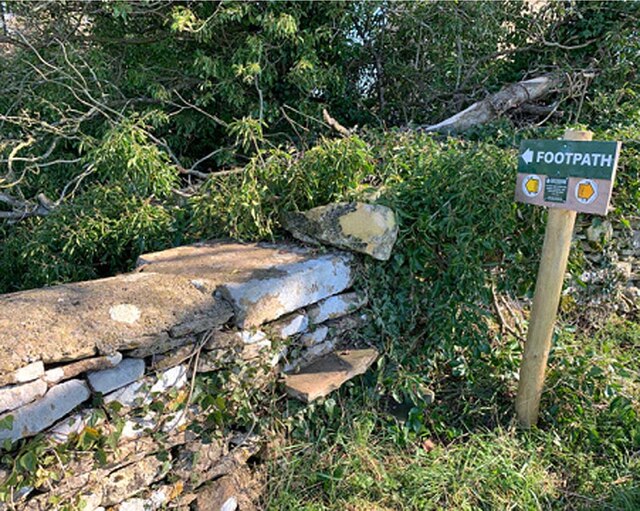
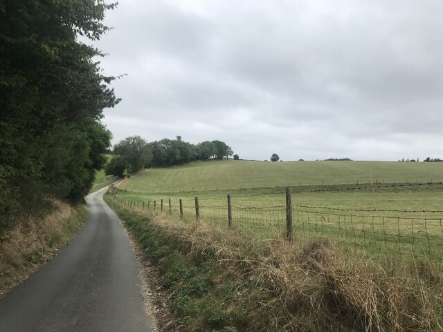
Tackmead Wood is crisscrossed by a network of walking trails, allowing visitors to explore its natural beauty at their own pace. These paths lead visitors through enchanting glades, over babbling brooks, and alongside ancient stone walls, evoking a sense of history and mystery.

The wood also boasts a rich wildlife population. Deer, foxes, and rabbits can be spotted amongst the trees, while birdwatchers may catch glimpses of woodpeckers, owls, and various species of songbirds. The diverse ecosystem of Tackmead Wood provides an ideal habitat for numerous plant and animal species, making it an important conservation area.

For those seeking a peaceful retreat or a chance to reconnect with nature, Tackmead Wood offers a serene and captivating environment. Whether for a leisurely stroll, a picnic, or wildlife observation, this woodland sanctuary is a hidden gem in Gloucestershire's countryside.

If you have any feedback on the listing, please let us know in the comments section below.

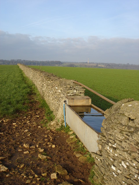
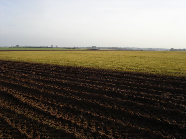
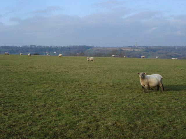
Tackmead Wood Images

Images are sourced within 2km of 51.641519/-2.2856189 or Grid Reference ST8093. Thanks to Geograph Open Source API. All images are credited.

Stone Stile, Ozleworth Park To the left of the main gates to the Old Rectory, on Gloucestershire footpath NOZ2 (listed as a Bridleway). Off Blacksmiths Hill.
Stone Stile, Ozleworth Park
To the left of the main gates to the Old Rectory, on Gloucestershire footpath NOZ2 (listed as a Bridleway). Off Blacksmiths Hill.
In Ozleworth Bottom This is looking past a benchmark <a href="https://www.geograph.org.uk/photo/6935226">ST8092 : Benchmark in Ozleworth Bottom</a> on the right hand of two posts at the eastern end of Ozleworth Bottom to a flat area (extending into the next square east) that looks as if it was an area of water at some time in the recent past. Unlike a more obvious benchmark close-by <a href="https://www.geograph.org.uk/photo/6603653">ST8092 : Benchmark by a track</a>, this one has recently been made more accessible by the absence of trees cut down because of ash dieback.
In Ozleworth Bottom
This is looking past a benchmark ST8092 : Benchmark in Ozleworth Bottom on the right hand of two posts at the eastern end of Ozleworth Bottom to a flat area (extending into the next square east) that looks as if it was an area of water at some time in the recent past. Unlike a more obvious benchmark close-by ST8092 : Benchmark by a track, this one has recently been made more accessible by the absence of trees cut down because of ash dieback.
Benchmark in Ozleworth Bottom This benchmark (OS description: STO P E SIDE TK S SIDE FOOTPATH) needed a bit of gardening to reveal it, even though a number of trees near it had been removed <a href="https://www.geograph.org.uk/photo/6935219">ST8192 : In Ozleworth Bottom</a>.
Benchmark in Ozleworth Bottom
This benchmark (OS description: STO P E SIDE TK S SIDE FOOTPATH) needed a bit of gardening to reveal it, even though a number of trees near it had been removed ST8192 : In Ozleworth Bottom.
Unmapped pond near Ozleworth Bottom There isn't always water in this pond: this image, taken In September, can be compared with December <a href="https://www.geograph.org.uk/photo/300553">ST8193 : Lake in Ozleworth Bottom</a>.
Unmapped pond near Ozleworth Bottom
There isn't always water in this pond: this image, taken In September, can be compared with December ST8193 : Lake in Ozleworth Bottom.
Pond now on OS maps There is an earlier image of this pond <a href="https://www.geograph.org.uk/photo/2355412">ST8193 : Pond near Ozleworth Bottom</a>. It is now marked on the 1:25000 OS map.
Pond now on OS maps
There is an earlier image of this pond ST8193 : Pond near Ozleworth Bottom. It is now marked on the 1:25000 OS map.
Stone Stile, Newington Bagpath GS2069 Near St Bartholomew's Church on Gloucestershire footpath NKS39.
Stone Stile, Newington Bagpath GS2069
Near St Bartholomew's Church on Gloucestershire footpath NKS39.
Stone Stile, Bagpath Off a dead-end road connecting with Scrubbett's Lane. Opposite Brook House, on Gloucestershire footpath NKS30, looking SE to a field.
Stone Stile, Bagpath
Off a dead-end road connecting with Scrubbett's Lane. Opposite Brook House, on Gloucestershire footpath NKS30, looking SE to a field.
Stone Stile, Bagpath On Gloucestershire footpaths NKS26 & NKS27, 65 metres SE from Ashcroft Rd, at its nearest point.
Stone Stile, Bagpath
On Gloucestershire footpaths NKS26 & NKS27, 65 metres SE from Ashcroft Rd, at its nearest point.
Country Lane
Country Lane
Newington Bagpath (Glos) St Bartholomew's Church The sad semi-derelict church, sold by the Gloucester diocese and still awaiting conversion by its new owners at the point of submission of this picture, which dates from 2002
Newington Bagpath (Glos) St Bartholomew's Church
The sad semi-derelict church, sold by the Gloucester diocese and still awaiting conversion by its new owners at the point of submission of this picture, which dates from 2002
Ozleworth (Glos) St Nicholas of Myra's Church Difficult to find but a delightful walk to this church vested in the Churches Conservation Trust
Ozleworth (Glos) St Nicholas of Myra's Church
Difficult to find but a delightful walk to this church vested in the Churches Conservation Trust
St Nicholas of Myra, Ozleworth
Newark Park Originally a 16th century hunting lodge but remodelled in the 18th century. in the care of the National Trust
Newark Park
Originally a 16th century hunting lodge but remodelled in the 18th century. in the care of the National Trust
Lines of maize
Lines of maize
Choices To the left lies the lane to Ozleworth Bottom, to the right the lane to Newark Park.  In the middle is Goose Green radio station mast.
Choices
To the left lies the lane to Ozleworth Bottom, to the right the lane to Newark Park. In the middle is Goose Green radio station mast.
Cotswold dry stone wall and water trough Cotswold dry stone wall above Ozleworth Bottom.
Cotswold dry stone wall and water trough
Cotswold dry stone wall above Ozleworth Bottom.
Farmland to the east of Tresham Viewed from the extreme north-west corner of this square, there are no buildings in the square, the entire square is farmland.
Farmland to the east of Tresham
Viewed from the extreme north-west corner of this square, there are no buildings in the square, the entire square is farmland.
Sheep in a field to the west of Boxwell View to the north-west from the Monarch's Way between Tresham and Boxwell. On the horizon to the right of centre is the radio station at Goose Green.
Sheep in a field to the west of Boxwell
View to the north-west from the Monarch's Way between Tresham and Boxwell. On the horizon to the right of centre is the radio station at Goose Green.
Show me another place!

Tackmead Wood is located at Grid Ref: ST8093 (Lat: 51.641519, Lng: -2.2856189)

Administrative County: Gloucestershire

District: Cotswold

Police Authority: Gloucestershire

What 3 Words

///tower.outbursts.welfare. Near Wotton-under-Edge, Gloucestershire

Related Wikis

St Nicholas of Myra's Church, Ozleworth

St Nicholas of Myra's Church is a redundant Anglican church in the village of Ozleworth, Gloucestershire, England, in the care of The Churches Conservation...

Ozleworth

Ozleworth is a village and civil parish in Gloucestershire, England, approximately 30 km (19 mi) south of Gloucester. It lies in the Cotswolds, an Area...
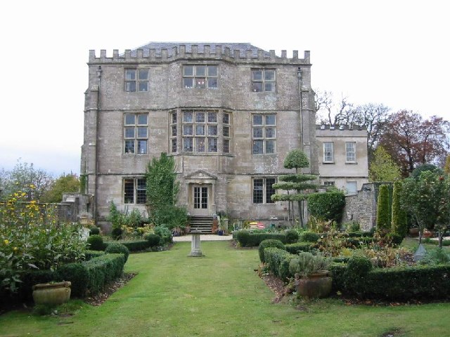
Boxwell Court

Boxwell Court is a country house near Leighterton in Gloucestershire, England, about 5 km or 3 miles east of Wotton-under-Edge, dating from the 15th and...

Bagpath

Bagpath is a hamlet in Gloucestershire, England, in the Ozleworth valley south of the village of Kingscote and forming part of Kingscote civil parish....

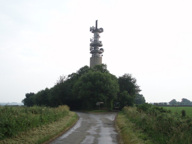
Wotton-under-Edge BT Tower

Wotton-under-Edge Tower is a 76.2 metres ( 250 ft) tall telecommunication tower built of reinforced concrete at Wotton-under-Edge in Gloucestershire, UK...

Lasborough Park

Lasborough Park (or Lasborough House) is a Grade II listed country house in Newington Bagpath/Lasborough, Tetbury, Gloucestershire, England. The estate...

Boxwell SSSI

Boxwell SSSI (grid reference ST816928) is a 5.31-hectare (13.1-acre) biological Site of Special Scientific Interest in Gloucestershire, notified in 1954...

Lasborough

Lasborough is a settlement in Gloucestershire, England, part of the Westonbirt with Lasborough civil parish. Lasborough lies to the west of the A46, about...

Nearby Amenities

Located within 500m of 51.641519,-2.2856189
Fixme: where does this power line go next?
Power: pole
Lat/Long: 51.6437728/-2.2808205
Power: pole
Lat/Long: 51.6431694/-2.2803886
Power: pole
Lat/Long: 51.6424961/-2.2798884
Power: pole
Lat/Long: 51.6419269/-2.2794753
Power: pole
Lat/Long: 51.6412028/-2.2789469
The data included in this document is from www.openstreetmap.org. The data is made available under ODbL.

Have you been to Tackmead Wood?

Leave your review of Tackmead Wood below (or comments, questions and feedback).