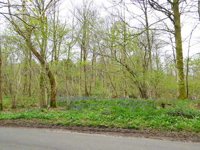
Haydon Plantation
Wood, Forest in Dorset
England
Haydon Plantation
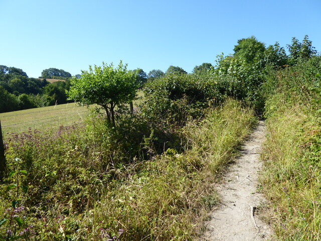
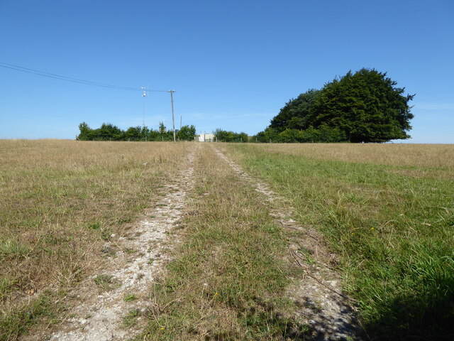
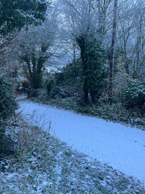
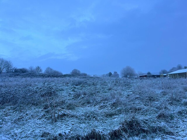
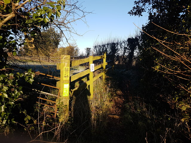
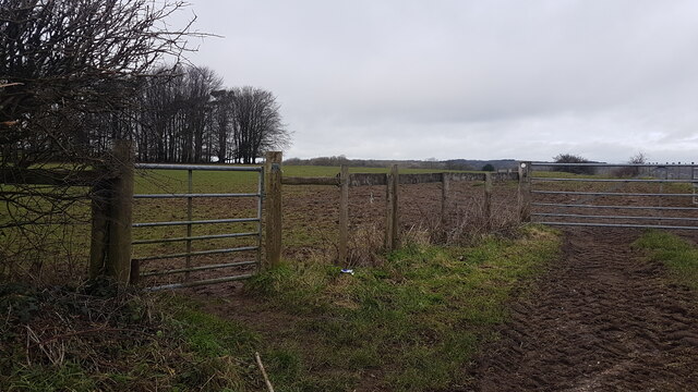
Haydon Plantation is a scenic woodland area located in the picturesque county of Dorset, England. Nestled amidst the natural splendor of the region, this plantation is renowned for its dense and diverse forest cover, making it a haven for nature enthusiasts and wildlife lovers alike.
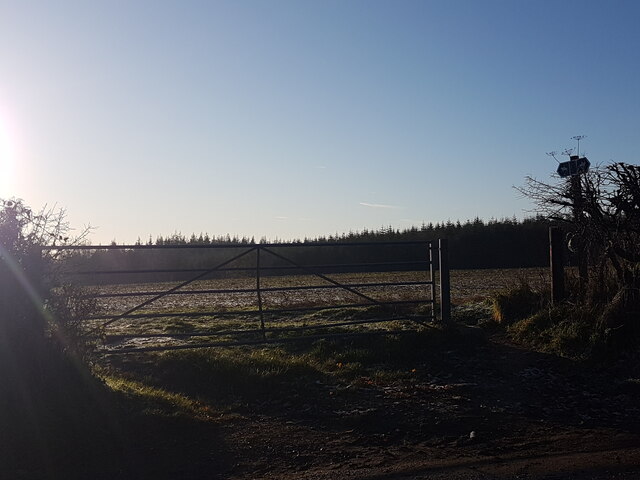
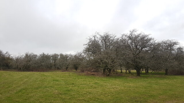
Covering a vast expanse of land, Haydon Plantation is characterized by its lush greenery and towering trees that create a captivating and serene environment. The plantation is predominantly composed of deciduous trees such as oak, beech, and birch, which provide a beautiful canopy over the forest floor. These trees also support a rich variety of flora and fauna, making it an important ecological site.
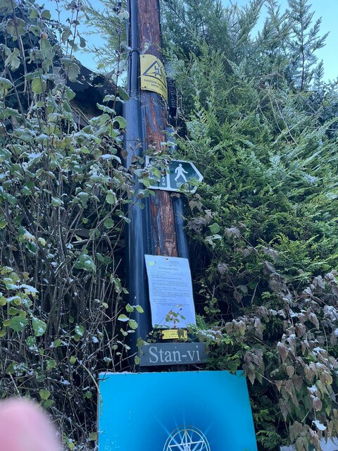
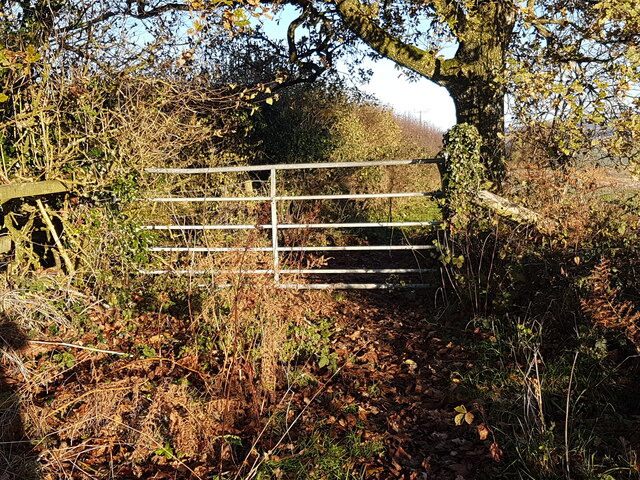
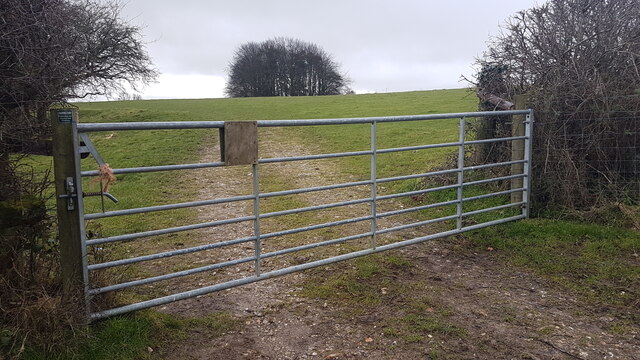
Visitors to Haydon Plantation can enjoy a range of activities, from leisurely walks along the well-maintained trails to birdwatching and wildlife spotting. The plantation is home to a myriad of animal species, including deer, foxes, and a diverse array of birds. It offers a unique opportunity to observe these creatures in their natural habitat.
The plantation also boasts several picnic areas, allowing visitors to relax and soak in the tranquility of the surroundings. The peaceful ambiance, combined with the stunning natural beauty, makes Haydon Plantation an ideal destination for those seeking a break from the hustle and bustle of city life.
Managed by a dedicated team of forestry experts, Haydon Plantation is committed to preserving and protecting its ecosystem. It serves as an important example of sustainable forestry practices, ensuring the long-term viability of the woodland and its inhabitants.
In conclusion, Haydon Plantation is a captivating woodland area in Dorset, England, offering visitors a chance to immerse themselves in the beauty of nature. With its diverse flora and fauna and a range of recreational activities, it is a destination that appeals to both nature enthusiasts and those seeking a peaceful retreat.
If you have any feedback on the listing, please let us know in the comments section below.
Haydon Plantation Images
Images are sourced within 2km of 50.828122/-2.2817863 or Grid Reference ST8003. Thanks to Geograph Open Source API. All images are credited.
Haydon Plantation is located at Grid Ref: ST8003 (Lat: 50.828122, Lng: -2.2817863)
Unitary Authority: Dorset
Police Authority: Dorset
What 3 Words
///select.flamenco.bangle. Near Milborne St Andrew, Dorset
Related Wikis
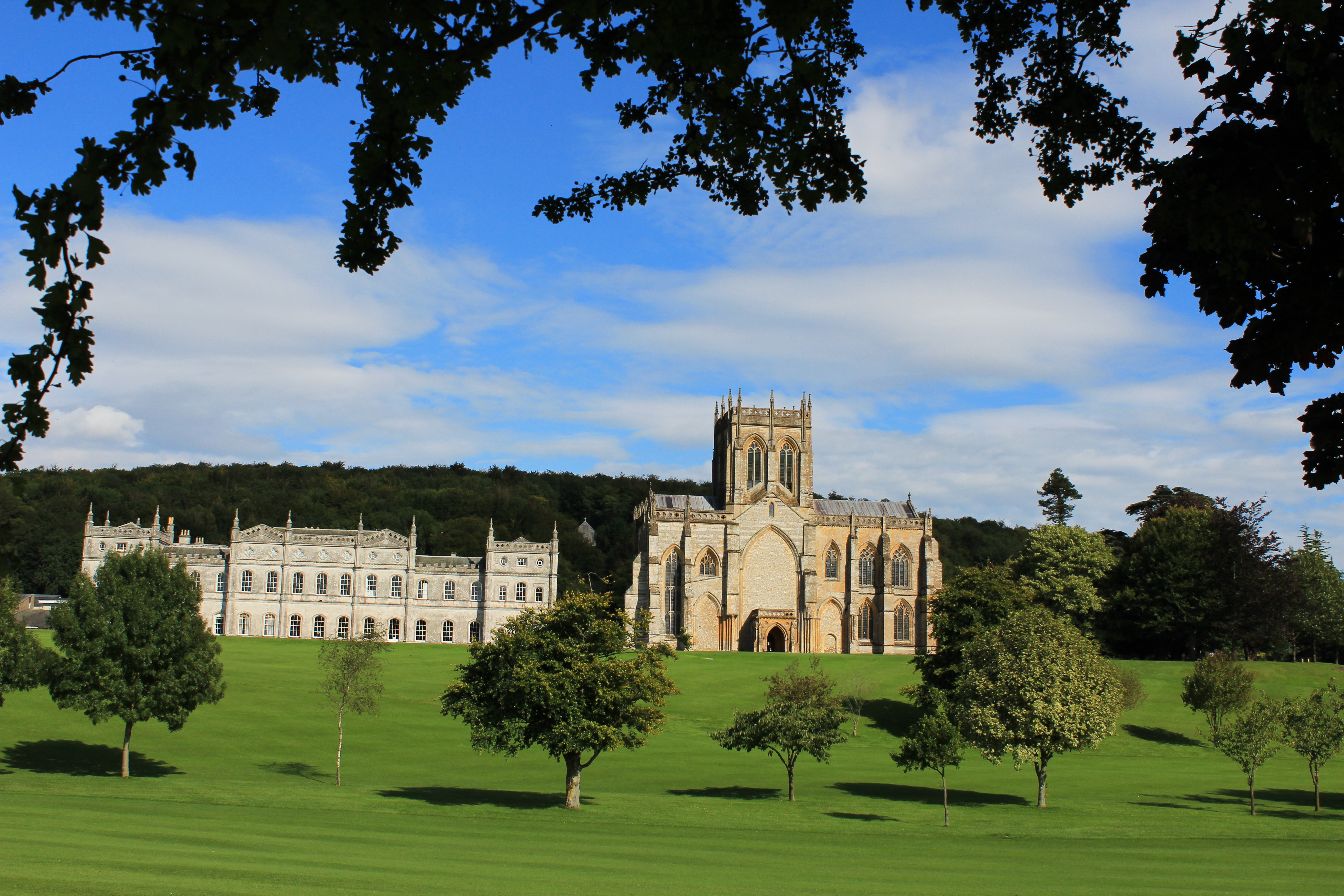
Milton Abbey School
Milton Abbey school is an independent school for day and boarding pupils in the village of Milton Abbas, near Blandford Forum in Dorset, in South West...

Milton Abbas
Milton Abbas is a village and civil parish in Dorset, England, lying around 5 miles (8 kilometres) southwest of Blandford Forum. In the 2011 Census the...

Delcombe Manor
Delcombe Manor is a Grade II*-listed manor in Milton Abbas, Dorset, England. == History == The manor was built circa 1750 using flint and stone from Milton...

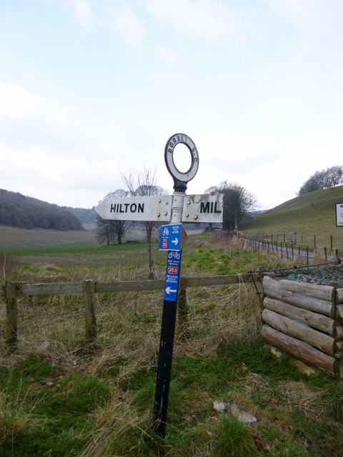
Hilton, Dorset
Hilton is a village and civil parish in the county of Dorset in southern England. It is sited at an elevation of 135 metres (443 feet) in a small valley...

Winterborne Houghton
Winterborne Houghton is a village and civil parish in north Dorset, England. It is situated in a winterbourne valley on the Dorset Downs, five miles (eight...

Ansty, Dorset
Ansty is a village in Dorset, England, north of Cheselbourne and west of Milton Abbas. It consists of the settlements of Higher Ansty, Lower Ansty, Pleck...

Dorset (district)
Dorset is a unitary authority area, existing since 1 April 2019, in the ceremonial county of Dorset, England. It covers all of the ceremonial county except...

Dorset
Dorset ( DOR-sit; archaically: Dorsetshire DOR-sit-sheer, -shər) is a ceremonial county in South West England. It is bordered by Somerset to the north...
Related Videos
![WALKS IN DORSET at MILTON ABBAS (inc MILTON ABBEY CHURCH) [4K]](https://i.ytimg.com/vi/6SOM17IzeCA/hqdefault.jpg)
WALKS IN DORSET at MILTON ABBAS (inc MILTON ABBEY CHURCH) [4K]
This is another video in my series “ Walks in Dorset” accompanied by my Whippet (Logan). In this episode, I visit the village of ...

Milton Abbas Village Walk, English Countryside 4K
https://www.buymeacoffee.com/Daveswalks All support is hugely appreciated and it helps me keep the channel going! No talking ...

Taking My Non-Cycling Wife on a 400km Bicycle Tour on a Tandem- Ep 1
Inspired by Bicycle Touring Pro, Darren Allf and his Youtube videos. My Wife agreed to a five day Bicycle Tour, down to the South ...
A Drive through English Countryside, Milton Abbas to Shaftesbury 4K
https://www.buymeacoffee.com/Daveswalks All support is hugely appreciated and it helps me keep the channel going! No talking ...
Nearby Amenities
Located within 500m of 50.828122,-2.2817863Have you been to Haydon Plantation?
Leave your review of Haydon Plantation below (or comments, questions and feedback).