Wood Laith
Wood, Forest in Lancashire Pendle
England
Wood Laith
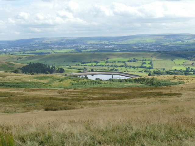
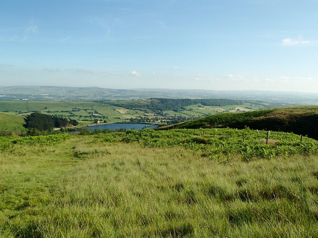
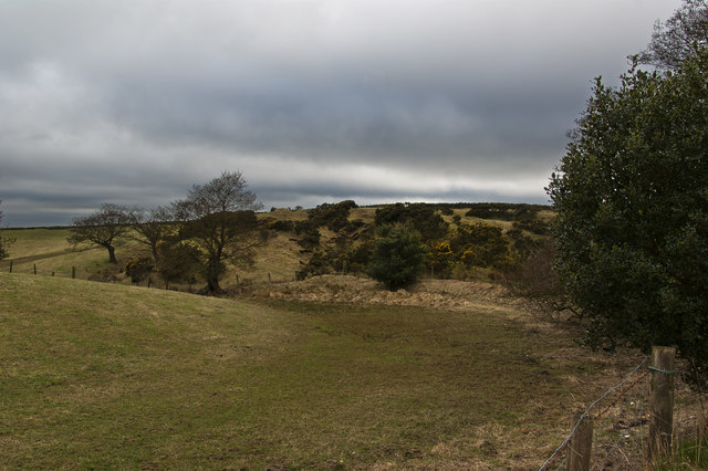
Wood Laith is a small village located in the county of Lancashire, England. Situated within the Forest of Bowland, it is surrounded by picturesque woodlands and lush greenery. The village is known for its tranquil and idyllic setting, making it a popular destination for nature lovers and those seeking a peaceful retreat.
Wood Laith is home to a tight-knit community, with a population of around 200 residents. The village primarily consists of charming cottages and traditional stone houses, adding to its rustic charm. The local architecture is a reflection of the area's rich history, with some buildings dating back several centuries.
Despite its small size, Wood Laith offers a range of amenities to its residents. The village has a local pub, The Wood Laith Arms, which serves as a hub for socializing and community events. Additionally, there is a small convenience store that caters to the daily needs of the villagers.
The surrounding woodlands provide ample opportunities for outdoor activities, including hiking, cycling, and birdwatching. The Forest of Bowland, with its diverse plant and animal species, is a designated Area of Outstanding Natural Beauty, further enhancing Wood Laith's appeal to nature enthusiasts.
For those seeking a taste of history and culture, nearby attractions such as Lancaster Castle and the Museum of Lancashire offer a glimpse into the region's past.
Overall, Wood Laith is a serene and charming village that offers a peaceful lifestyle and a close connection to nature.
If you have any feedback on the listing, please let us know in the comments section below.
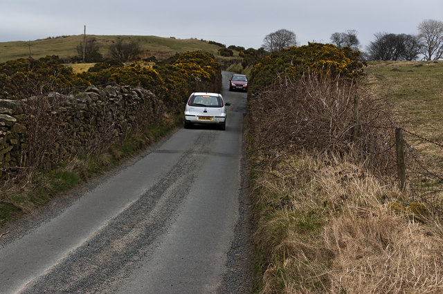
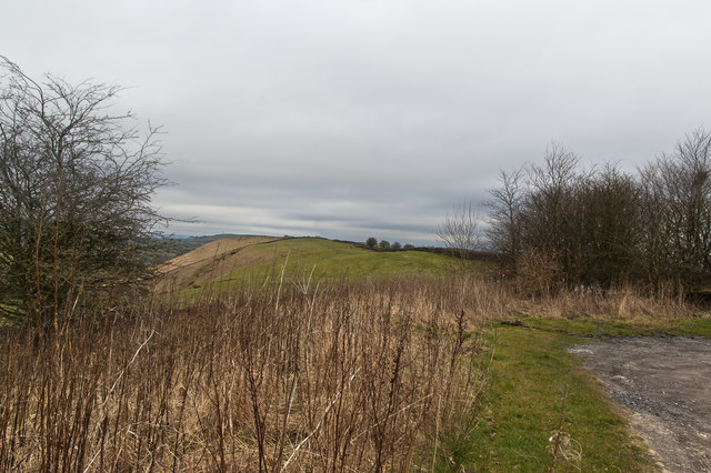
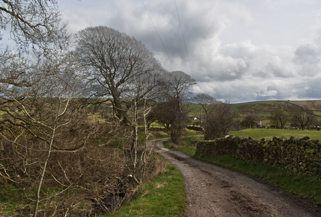
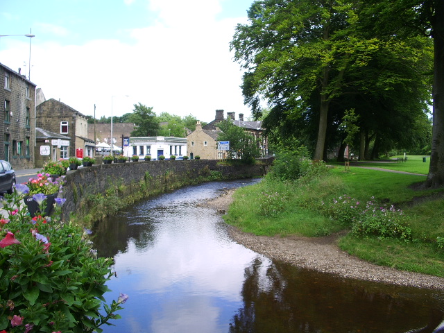
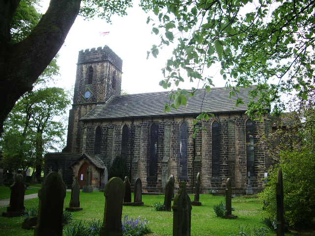
Wood Laith Images
Images are sourced within 2km of 53.839336/-2.3019075 or Grid Reference SD8038. Thanks to Geograph Open Source API. All images are credited.


Wood Laith is located at Grid Ref: SD8038 (Lat: 53.839336, Lng: -2.3019075)
Administrative County: Lancashire
District: Pendle
Police Authority: Lancashire
What 3 Words
///swerving.squashes.after. Near Sabden, Lancashire
Nearby Locations
Related Wikis

Higham, Lancashire
Higham is a village in the Borough of Pendle in Lancashire, England, south of Pendle Hill. The civil parish is named Higham with West Close Booth. The...

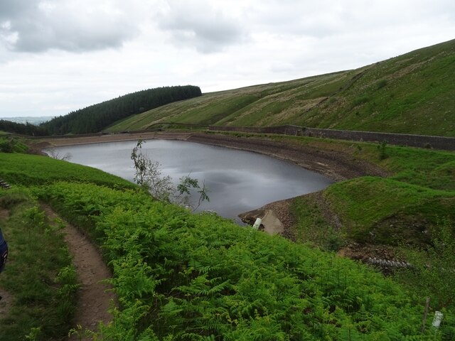
Ogden Reservoirs
Upper and Lower Ogden Reservoirs are half a mile to the west of the village of Barley, in the Borough of Pendle, England. They supply drinking water to...

Newchurch in Pendle
Newchurch in Pendle is a village in the civil parish of Goldshaw Booth, Pendle, Lancashire, England, adjacent to Barley, to the south of Pendle Hill. It...

Goldshaw Booth
Goldshaw Booth is a civil parish in the Pendle district of Lancashire, England. It has a population of 248, and contains the village of Newchurch in Pendle...

Sabden
Sabden is a village and civil parish in the Ribble Valley, Lancashire, England. Sabden is located south of Pendle Hill, in a valley about three miles north...
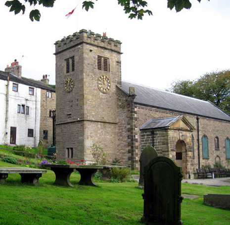
St Mary's Church, Newchurch in Pendle
St Mary's Church is in the village of Newchurch in Pendle, Lancashire, England. The church is recorded in the National Heritage List for England as a...
Pendle Water
Pendle Water is a minor river in Lancashire, England. Rising on Pendle Hill, Pendle Water cuts a deep valley between Barley Moor and Spence Hill, where...
Fence, Lancashire
Fence is a village in the civil parish of Old Laund Booth, Pendle, Lancashire, England, close to the towns of Nelson and Burnley. It lies alongside the...
Have you been to Wood Laith?
Leave your review of Wood Laith below (or comments, questions and feedback).