Hobbyhorse Wood

Wood, Forest in Gloucestershire Cotswold

England

Hobbyhorse Wood

Old Milestone, A46 Just North of Dunkirk, and the A433 junction. On the Eastern verge. Cut Benchmark on the SE face representing 161.2 m ASL.

Inscription (was): Gloucester 23 Bath 15

Milestone Society National ID: GL_BAGL15
Old Milestone, A46 Credit: Mr Red

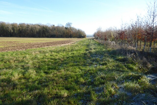
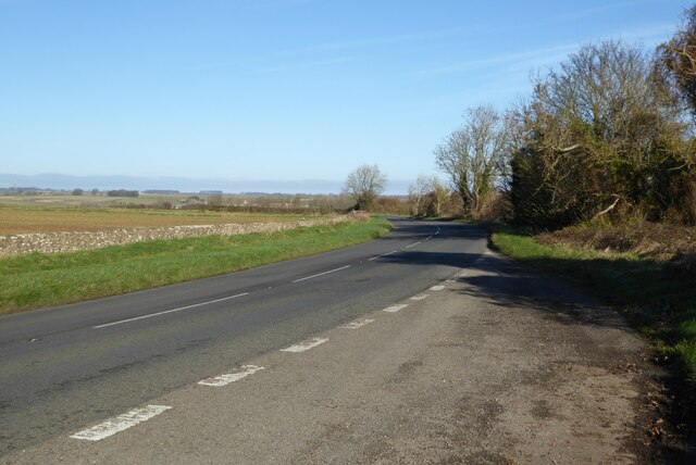
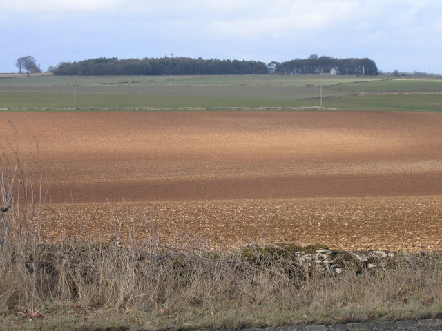
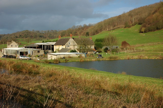
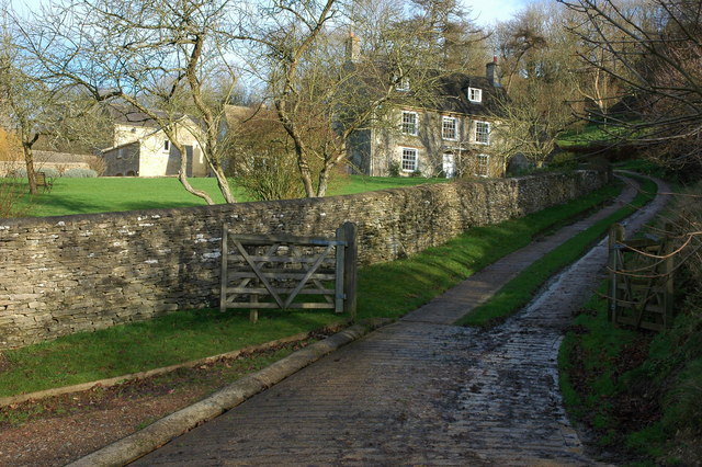
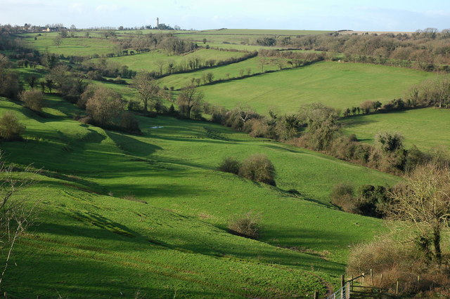
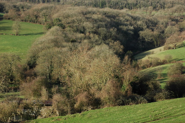
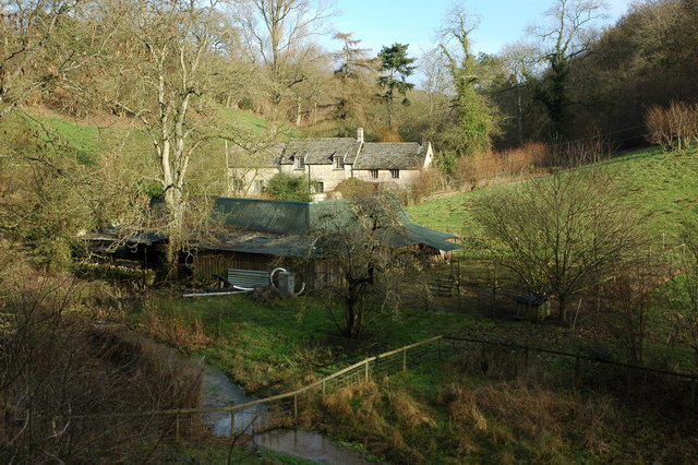
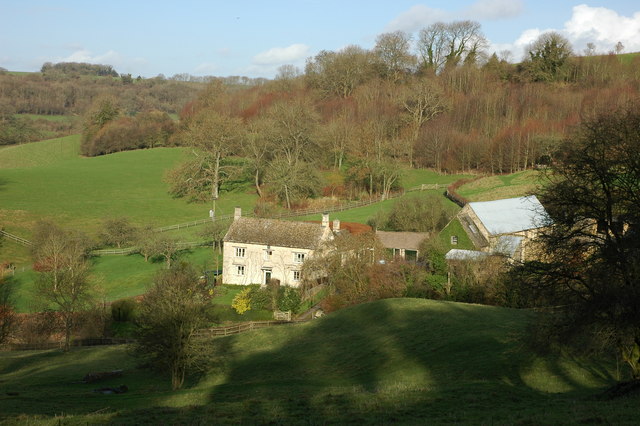
Hobbyhorse Wood is a picturesque woodland located in Gloucestershire, England. It is nestled in the heart of the county, surrounded by rolling hills and lush green fields. The woodland covers an area of approximately 50 acres, making it a popular destination for nature enthusiasts and outdoor adventurers.

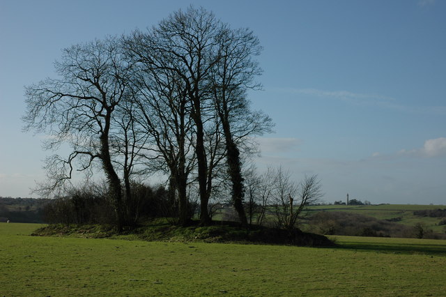
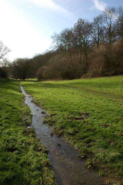
The wood is primarily composed of a variety of broadleaf trees, including oak, beech, and ash. These trees provide a dense canopy, creating a cool and shaded environment within the woodland. The forest floor is covered with a rich carpet of ferns, bluebells, and moss, adding to the enchanting atmosphere of the wood.

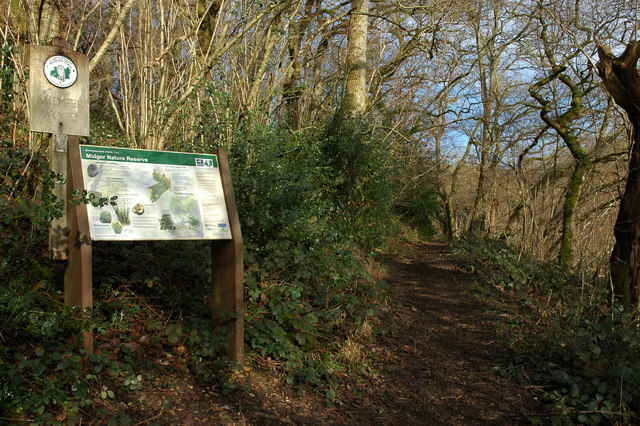
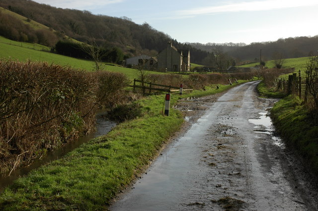
Hobbyhorse Wood offers a range of walking trails, allowing visitors to explore its natural beauty at their own pace. The paths wind through the trees, leading to hidden clearings and babbling brooks. Along the way, visitors may spot an array of wildlife, including squirrels, deer, and a variety of bird species.

The wood also boasts a small pond, attracting various aquatic creatures and providing a serene spot for visitors to relax and enjoy the peaceful surroundings. Additionally, there are several picnic areas scattered throughout the wood, perfect for enjoying a packed lunch amidst the tranquility of nature.

Hobbyhorse Wood is a haven for those seeking solace in nature, offering a serene and idyllic escape from the hustle and bustle of everyday life. Whether it's a leisurely stroll, a picnic with loved ones, or simply a moment of reflection, this woodland provides a perfect retreat for all who visit.

If you have any feedback on the listing, please let us know in the comments section below.

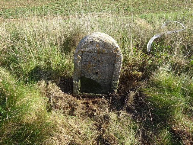
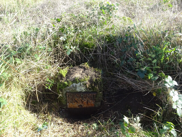
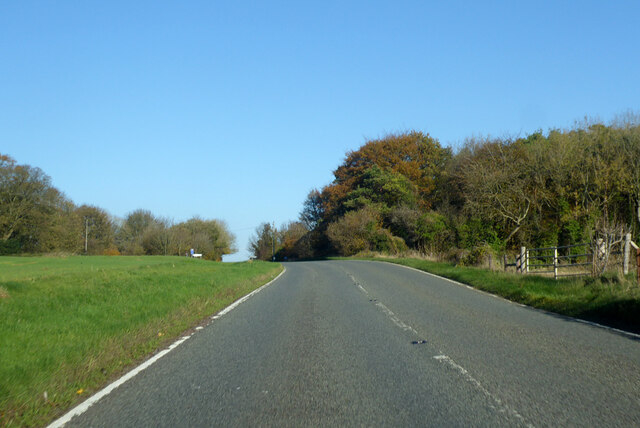
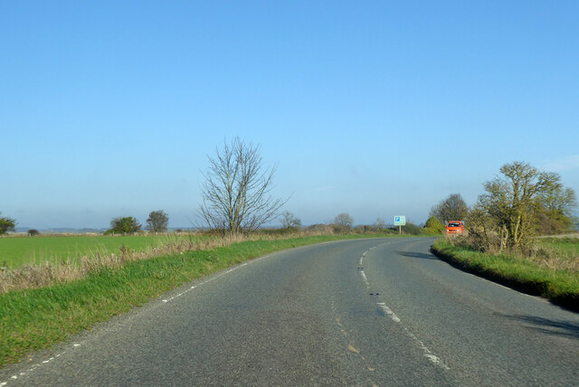
Hobbyhorse Wood Images

Images are sourced within 2km of 51.5945/-2.287157 or Grid Reference ST8088. Thanks to Geograph Open Source API. All images are credited.

Old Milestone, A46 Just North of Dunkirk, and the A433 junction. On the Eastern verge. Cut Benchmark on the SE face representing 161.2 m ASL.

Inscription (was): Gloucester 23 Bath 15

Milestone Society National ID: GL_BAGL15
Old Milestone, A46
Just North of Dunkirk, and the A433 junction. On the Eastern verge. Cut Benchmark on the SE face representing 161.2 m ASL. Inscription (was): Gloucester 23 Bath 15 Milestone Society National ID: GL_BAGL15
Old Milestone, A46 In the parish of Hawkesbury, just North of Starveall. On the Eastern verge, buried up to half of the existing original plate. Rivet Benchmark representing 189.7 m ASL. 

Inscription: Bath / XVI / Glou / XXII

Milestone Society National ID: GL_BAGL16
Old Milestone, A46
In the parish of Hawkesbury, just North of Starveall. On the Eastern verge, buried up to half of the existing original plate. Rivet Benchmark representing 189.7 m ASL. Inscription: Bath / XVI / Glou / XXII Milestone Society National ID: GL_BAGL16
A46 heading north Towards Stroud.
A46 heading north
Towards Stroud.
A46 heading north Towards Stroud.
A46 heading north
Towards Stroud.
Restricted byway to Oldbury on the Hill This right of way across farmland is just metres to the north of the county boundary between Gloucestershire and South Gloucestershire.
Restricted byway to Oldbury on the Hill
This right of way across farmland is just metres to the north of the county boundary between Gloucestershire and South Gloucestershire.
The A46 near Upper Kilcot
The Post Office, Hawkesbury-Upton, Nr. Yate and Chipping Sodbury, S. Gloucs. The Post Office is located on Back Street on the same side of the street as the village Methodist Chapel.   Prim Curtis, the village postmistress from 1975 to 2005 has confirmed that in the early 1800s the building was originally the village police station, with a cell door and its spy-hole still in evidence at the time of the photograph.  Subsequently, the building was used by a local coal merchant, Mr. Hopkins, for coal storage and on the later initiative and application of Mr. and Mrs. Curtis to the Thornbury Council for approval, the building was converted into the village post office.  Hawkesbury-Upton is a Domesday Book listed village and is close to the Cotswold Way.
The Post Office, Hawkesbury-Upton, Nr. Yate and Chipping Sodbury, S. Gloucs.
The Post Office is located on Back Street on the same side of the street as the village Methodist Chapel. Prim Curtis, the village postmistress from 1975 to 2005 has confirmed that in the early 1800s the building was originally the village police station, with a cell door and its spy-hole still in evidence at the time of the photograph. Subsequently, the building was used by a local coal merchant, Mr. Hopkins, for coal storage and on the later initiative and application of Mr. and Mrs. Curtis to the Thornbury Council for approval, the building was converted into the village post office. Hawkesbury-Upton is a Domesday Book listed village and is close to the Cotswold Way.
Looking north from layby on A433 near A46 junction The light patch is sunlight
Looking north from layby on A433 near A46 junction
The light patch is sunlight
Farm at Lower Kilcott Farm with fishing lake at Lower Kilcott.  Viewed from the passing country lane which is the route of both the Cotswold Way and Monarch's Way.
Farm at Lower Kilcott
Farm with fishing lake at Lower Kilcott. Viewed from the passing country lane which is the route of both the Cotswold Way and Monarch's Way.
Upper Kilcott A view of the fine Georgian Upper Kilcott Farmhouse from the passing country road.  The house is Grade II listed, see: <span class="nowrap"><a title="https://historicengland.org.uk/listing/the-list/list-entry/1155957" rel="nofollow ugc noopener" href="https://historicengland.org.uk/listing/the-list/list-entry/1155957">Link</a><img style="margin-left:2px;" alt="External link" title="External link - shift click to open in new window" src="https://s1.geograph.org.uk/img/external.png" width="10" height="10"/></span>
Upper Kilcott
A view of the fine Georgian Upper Kilcott Farmhouse from the passing country road. The house is Grade II listed, see: LinkExternal link
Midger Nature Reserve near Lower Kilcott In the care of Gloucestershire Wildlife Trust Midger Wood is an SSSI.
Midger Nature Reserve near Lower Kilcott
In the care of Gloucestershire Wildlife Trust Midger Wood is an SSSI.
Long Barrow near Upper Kilcott This Long barrow is situated less than half a mile south of Upper Kilcott, the Somerset Monument at Hawkesbury Upton can be seen on the horizon.
Long Barrow near Upper Kilcott
This Long barrow is situated less than half a mile south of Upper Kilcott, the Somerset Monument at Hawkesbury Upton can be seen on the horizon.
Small Coombe, Lower Kilcott Valley between Stickstey Wood and Bangel Wood
Small Coombe, Lower Kilcott
Valley between Stickstey Wood and Bangel Wood
Upton Coombe, Hawkesbury Upton Upton Coombe is situated to the north of Hawkesbury Upton. The Somerset Monument can be seen on the horizon.
Upton Coombe, Hawkesbury Upton
Upton Coombe is situated to the north of Hawkesbury Upton. The Somerset Monument can be seen on the horizon.
Woodland in Upton Coombe
Lane at Lower Kilcott
Curtis Mill near Upper Kilcott
Wine Cellar Farm, Upper Kilcott
Show me another place!

Hobbyhorse Wood is located at Grid Ref: ST8088 (Lat: 51.5945, Lng: -2.287157)

Administrative County: Gloucestershire

District: Cotswold

Police Authority: Gloucestershire

What 3 Words

///pylons.vegans.nightcap. Near Luckington, Wiltshire

Nearby Locations

Ridge Wood Hobbyhorse Wood

Related Wikis

Midger

Midger (grid reference ST797895) is a 65.7-hectare (162-acre) biological Site of Special Scientific Interest straddling the border of Gloucestershire and...

Upton Coombe

Upton Coombe (grid reference ST789877) is a 7.4 hectare biological Site of Special Scientific Interest near the village of Hawkesbury Upton, South Gloucestershire...

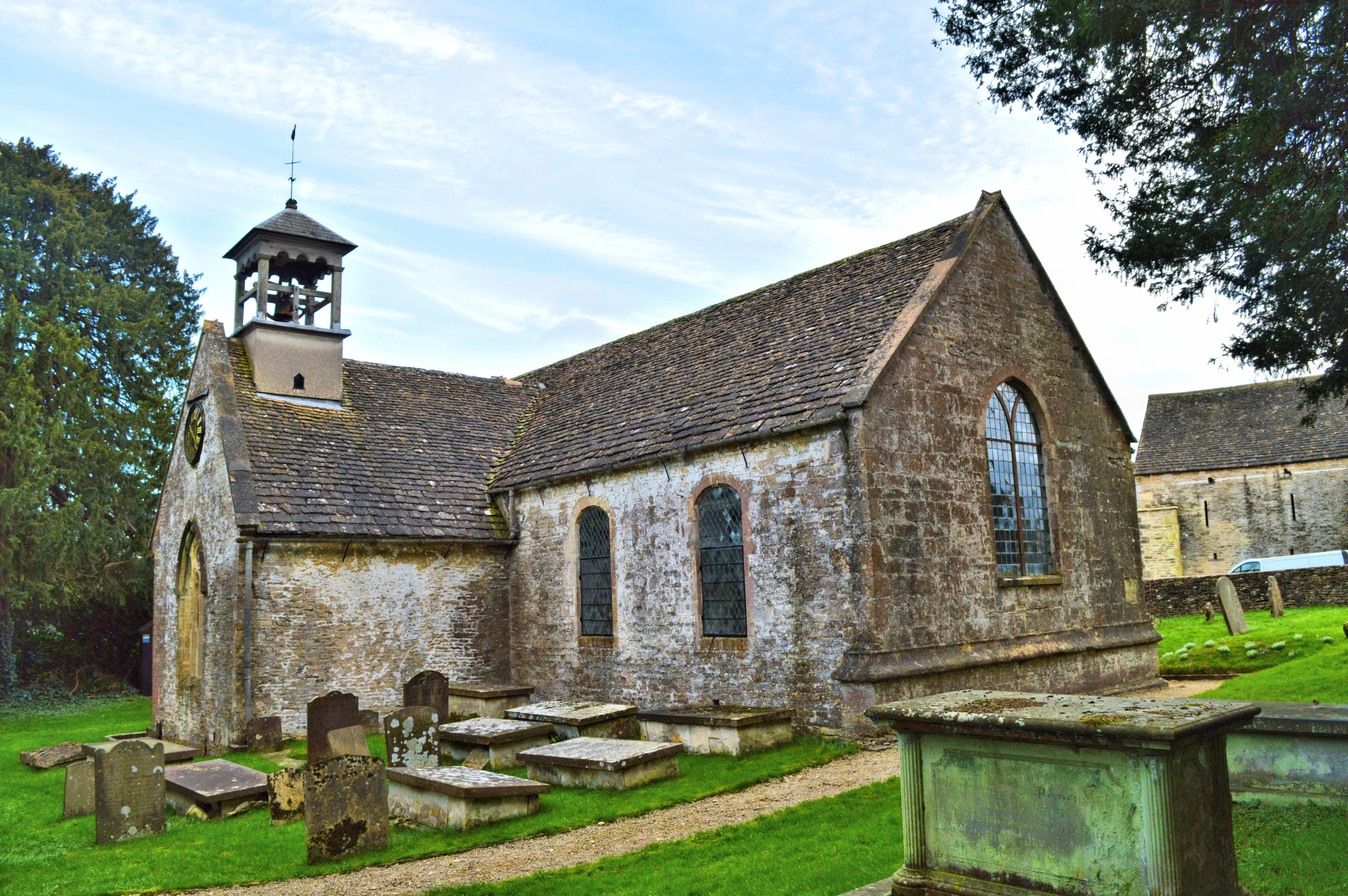
St Arild's Church, Oldbury-on-the-Hill

St Arild's Church is a historic Anglican church near the village of Oldbury-on-the-Hill, Gloucestershire, England under the care of The Churches Conservation...

Oldbury-on-the-Hill

Oldbury-on-the-Hill is a small village and former civil parish, now in the parish of Didmarton, in the Cotswold district, in Gloucestershire, England,...

Didmarton

Didmarton is a village and civil parish in Gloucestershire, England. It lies in the Cotswold District, about 6 miles (10 km) southwest of Tetbury. The...

Dunkirk, Gloucestershire

Dunkirk is a hamlet in the rural north of South Gloucestershire, near the Gloucestershire border, in the parish of Hawkesbury. The hamlet is on an important...

Church of St Lawrence, Didmarton

The Anglican Church of St Lawrence at Didmarton in the Cotswold District of Gloucestershire, England was built in the 13th century. It is a grade I listed...

Hawkesbury Upton

Hawkesbury Upton is a village in South Gloucestershire, England, east of the much smaller Hawkesbury. It lies north of Horton, east of Dunkirk and south...

Have you been to Hobbyhorse Wood?

Leave your review of Hobbyhorse Wood below (or comments, questions and feedback).