Gorsey Covert
Wood, Forest in Staffordshire Stafford
England
Gorsey Covert
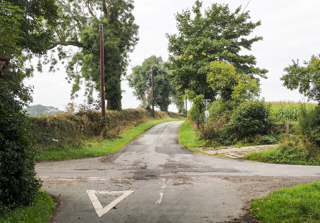
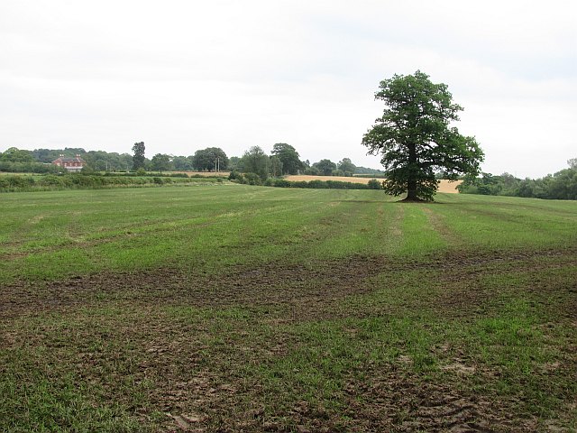
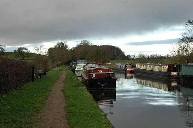
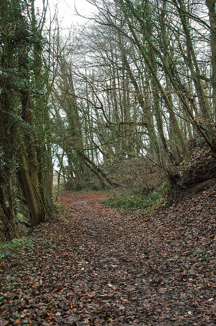
Gorsey Covert is a picturesque woodland located in Staffordshire, England. With an area of approximately 50 hectares, it is considered to be one of the most beautiful forested areas in the region. The woodland is predominantly composed of oak and birch trees, which create a dense and lush canopy, providing a habitat for a variety of flora and fauna.
The forest floor is covered with a carpet of wildflowers during the spring and summer months, including bluebells, primroses, and wood anemones. This vibrant display of colors attracts numerous butterflies and bees, making it a haven for pollinators.
Gorsey Covert also offers several walking trails, allowing visitors to explore its natural beauty. The paths wind through the woods, providing breathtaking views of the surrounding landscape and glimpses of wildlife such as deer and squirrels.
In addition to its natural beauty, Gorsey Covert has historical significance. It was once part of a larger ancient woodland that covered a significant portion of Staffordshire. Today, it stands as a remnant of this ancient forest and serves as a reminder of the area's rich natural heritage.
The woodland is well-maintained by local authorities, with designated picnic areas and benches scattered throughout, providing visitors with a place to rest and enjoy the tranquility of the surroundings. Gorsey Covert is a popular destination for nature lovers, hikers, and photography enthusiasts, offering an escape from the hustle and bustle of everyday life.
If you have any feedback on the listing, please let us know in the comments section below.
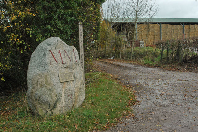
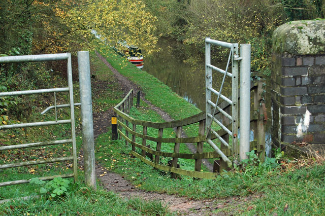
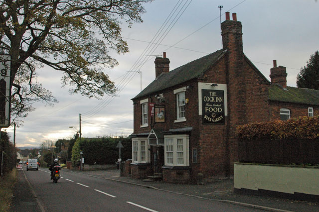
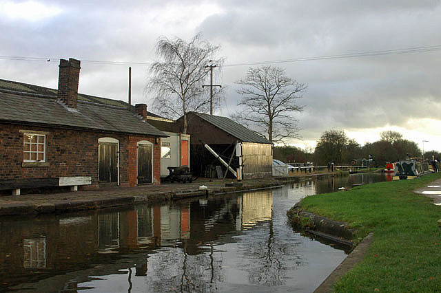
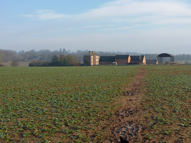
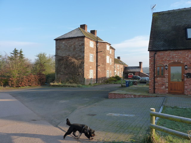
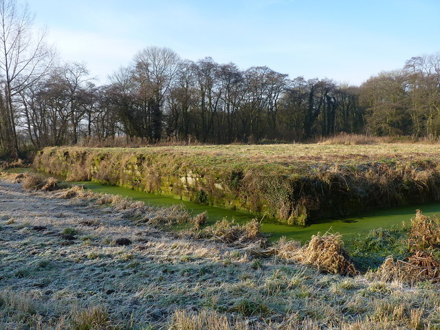
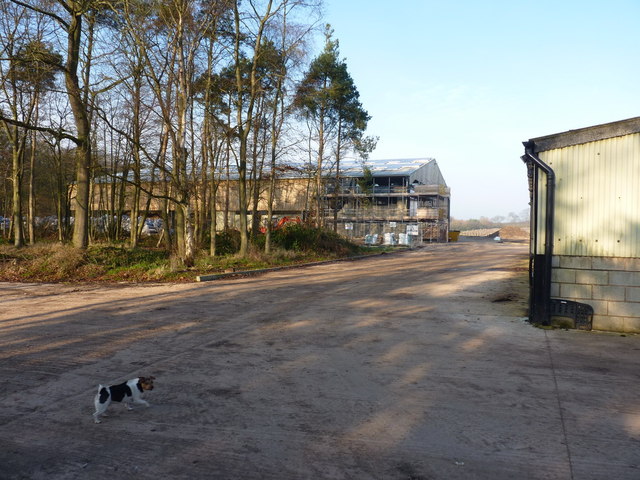
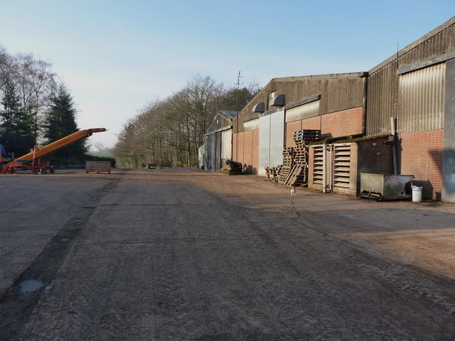
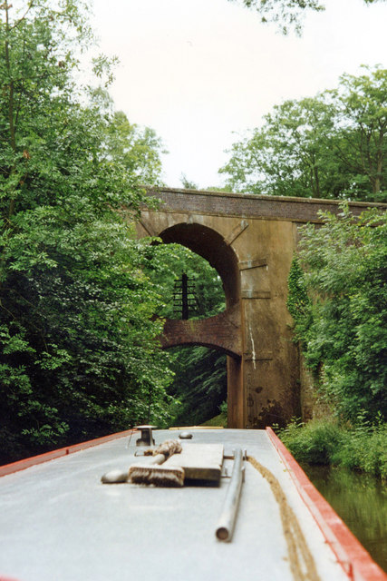
Gorsey Covert Images
Images are sourced within 2km of 52.814536/-2.3010877 or Grid Reference SJ7924. Thanks to Geograph Open Source API. All images are credited.
Gorsey Covert is located at Grid Ref: SJ7924 (Lat: 52.814536, Lng: -2.3010877)
Administrative County: Staffordshire
District: Stafford
Police Authority: Staffordshire
What 3 Words
///normal.increases.chatters. Near Gnosall, Staffordshire
Nearby Locations
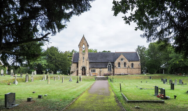
Related Wikis

Loynton
Loynton is a hamlet on the A519 near the villages of Norbury, and Woodseaves in Staffordshire, England. It lies in the civil parish of Norbury. Loynton...

Loynton Moss
Loynton Moss is a nature reserve of the Staffordshire Wildlife Trust, near the village of Woodseaves, in Staffordshire, England. It is adjacent to the...

Woodseaves
Woodseaves is a village in Staffordshire, England. It lies in the civil parish of High Offley and is situated on the A519 (Newport-Newcastle-under-Lyme...

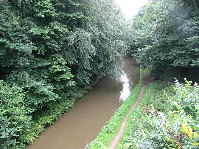
Norbury Junction
Norbury Junction (grid reference SJ793228) is a hamlet and former canal junction which lies about 1 mile (1.6 km) to the south east of Norbury, in Staffordshire...

Norbury, Staffordshire
Norbury is a village and civil parish in the Borough of Stafford, in west Staffordshire, England. The population as taken at the 2011 census was 371.It...

Knightley, Staffordshire
Knightley is a hamlet and former manor in Staffordshire, England. It is situated near the villages of Gnosall and Woodseaves, now on the B5405 road. There...
Gnosall Rural District
Gnosall was a rural district in Staffordshire, England from 1894 to 1934. It was formed under the Local Government Act 1894 from that part of the Newport...

High Offley
High Offley is a small village and civil parish in Staffordshire, England. It lies 3 miles southwest of the small town of Eccleshall and about 1 mile west...
Nearby Amenities
Located within 500m of 52.814536,-2.3010877Have you been to Gorsey Covert?
Leave your review of Gorsey Covert below (or comments, questions and feedback).