Wassell Wood

Wood, Forest in Worcestershire Wyre Forest

England

Wassell Wood

View west from Hoarstone Lane
View west from Hoarstone Lane Credit: Mat Fascione

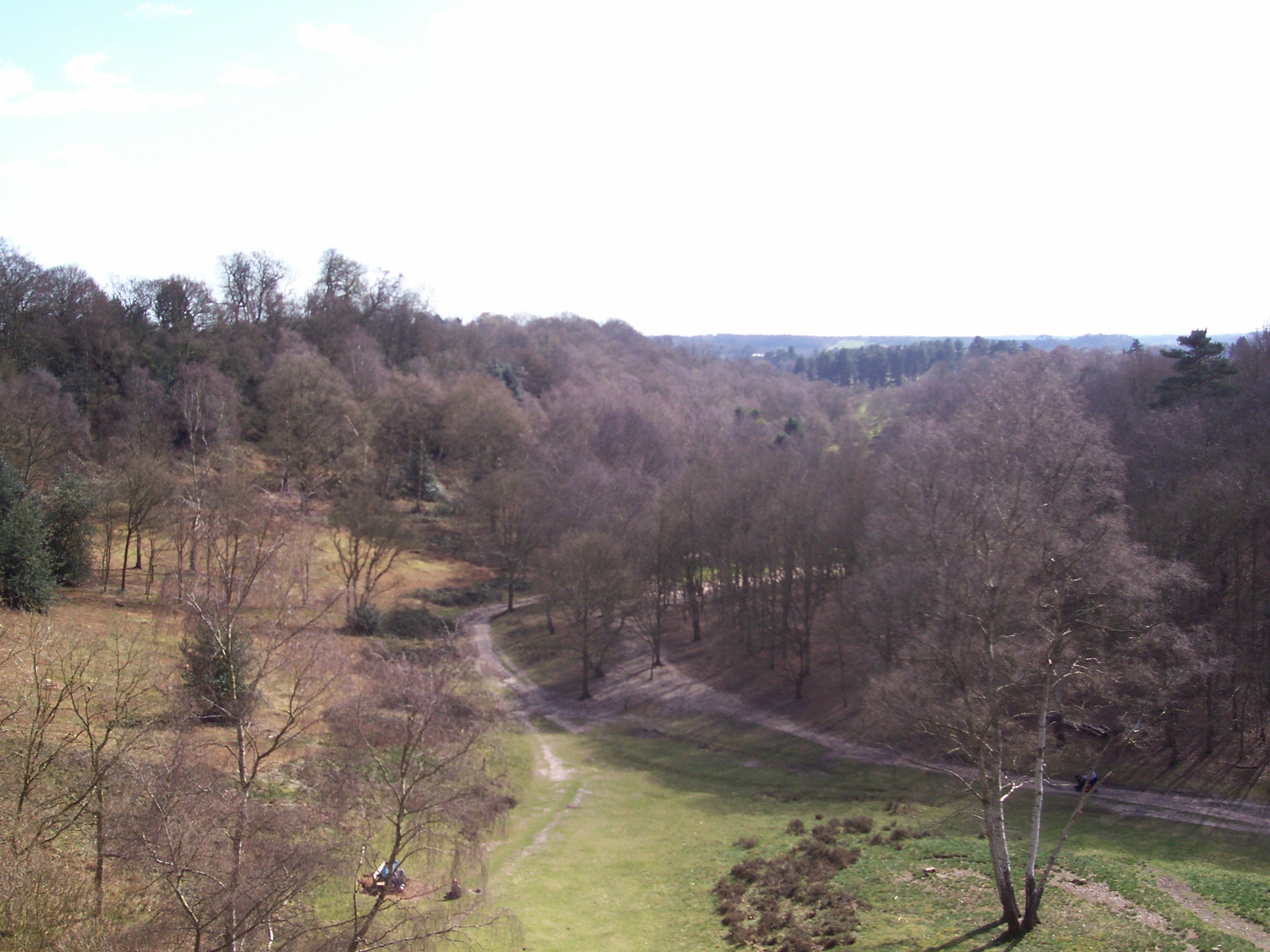
Wassell Wood is a picturesque forest located in Worcestershire, England. Covering an area of approximately 74 acres, Wassell Wood is a popular destination for nature lovers and outdoor enthusiasts. The wood is home to a variety of tree species, including oak, beech, and birch, creating a diverse and vibrant ecosystem.

Visitors to Wassell Wood can enjoy a network of walking trails that wind through the forest, providing opportunities to explore the natural beauty of the area. The wood is also home to a wide array of wildlife, including deer, foxes, and a variety of bird species, making it a popular spot for birdwatching and wildlife photography.

In addition to its natural beauty, Wassell Wood also has a rich history, with evidence of human habitation dating back to the Bronze Age. The wood has been designated as a Site of Special Scientific Interest, recognizing its importance for biodiversity and conservation.

Overall, Wassell Wood offers visitors a peaceful and tranquil escape from the hustle and bustle of everyday life, with its natural beauty and rich history making it a must-visit destination in Worcestershire.

If you have any feedback on the listing, please let us know in the comments section below.
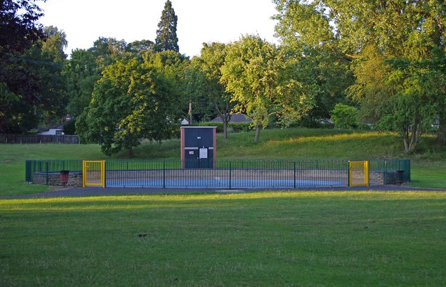
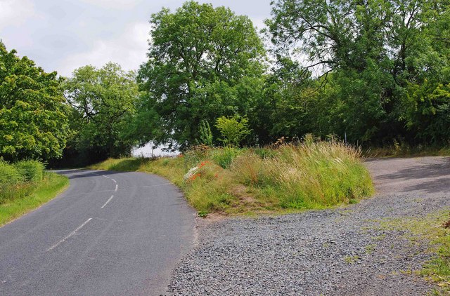
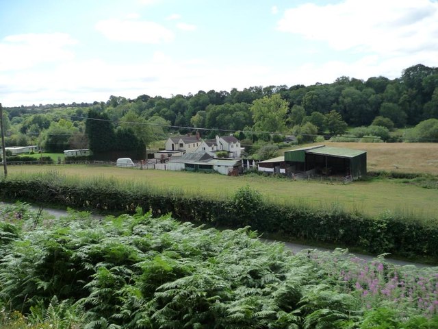
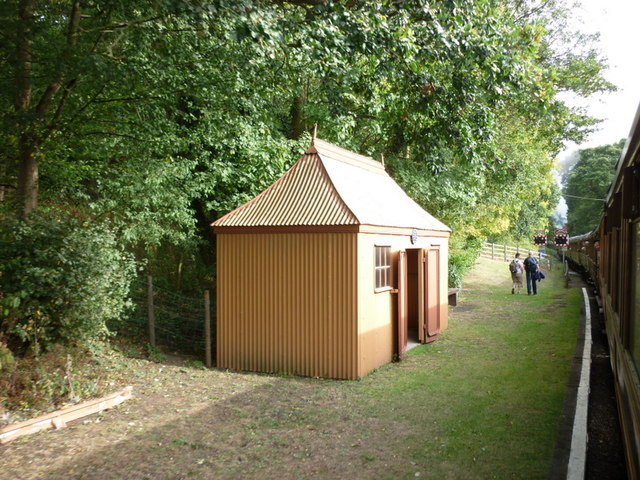
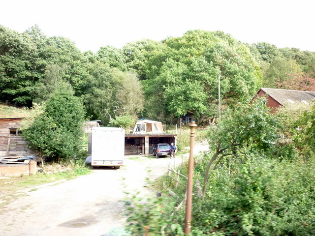
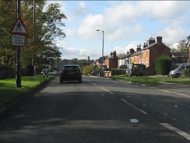
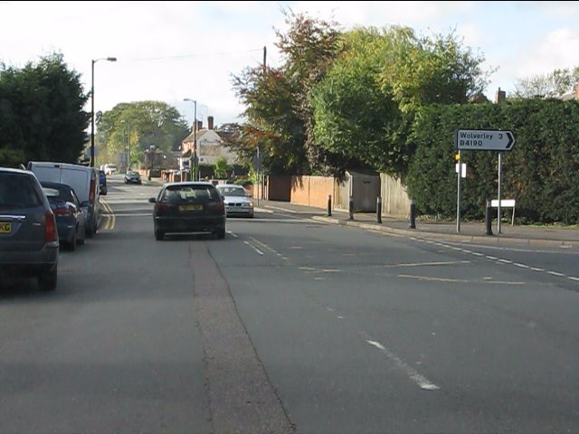
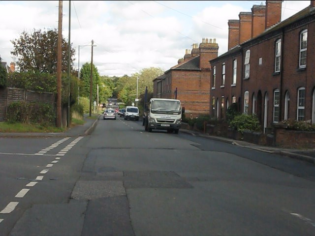
Wassell Wood Images

Images are sourced within 2km of 52.394034/-2.2991119 or Grid Reference SO7977. Thanks to Geograph Open Source API. All images are credited.

View west from Hoarstone Lane
Children's paddling pool near River Severn, Bewdley The children's paddling pool is on the Wribbenhall side of the river, and is part of a children's play area, which includes other facilities. It forms part of Bewdley's Riverside Meadows, which are to be found on both sides of the river.

<a href="https://www.geograph.org.uk/photo/2500078">SO7875 : Recreation area by River Severn, Bewdley</a>.
Children's paddling pool near River Severn, Bewdley
The children's paddling pool is on the Wribbenhall side of the river, and is part of a children's play area, which includes other facilities. It forms part of Bewdley's Riverside Meadows, which are to be found on both sides of the river. SO7875 : Recreation area by River Severn, Bewdley.
Viewing platform for pond, near Bewdley This is the viewing platform for a sizeable pond, which is located between the River Severn and Northwood Lane.

<a href="https://www.geograph.org.uk/photo/2500183">SO7875 : Pond near River Severn, Bewdley</a>.
<a href="https://www.geograph.org.uk/photo/2500198">SO7875 : Pond near River Severn, Bewdley</a>.
<a href="https://www.geograph.org.uk/photo/2500213">SO7875 : Pond near River Severn, Bewdley</a>.
Viewing platform for pond, near Bewdley
This is the viewing platform for a sizeable pond, which is located between the River Severn and Northwood Lane. SO7875 : Pond near River Severn, Bewdley. SO7875 : Pond near River Severn, Bewdley. SO7875 : Pond near River Severn, Bewdley.
Pond near River Severn, Bewdley The pond is between the river and Northwood Lane.

<a href="https://www.geograph.org.uk/photo/2500170">SO7875 : Viewing platform for pond, near Bewdley</a>.
Pond near River Severn, Bewdley
The pond is between the river and Northwood Lane. SO7875 : Viewing platform for pond, near Bewdley.
Pond near River Severn, Bewdley In the distance is a swan with its cygnet in front of it.

<a href="https://www.geograph.org.uk/photo/2500170">SO7875 : Viewing platform for pond, near Bewdley</a>.
Pond near River Severn, Bewdley
In the distance is a swan with its cygnet in front of it. SO7875 : Viewing platform for pond, near Bewdley.
Pond near River Severn, Bewdley Other photos:- <a href="https://www.geograph.org.uk/photo/2500170">SO7875 : Viewing platform for pond, near Bewdley</a>.
Pond near River Severn, Bewdley
Severn Way near Bewdley The Severn Way, a long distance footpath, is here leaving a wooded area, and is about to run between the river and a field.
Severn Way near Bewdley
The Severn Way, a long distance footpath, is here leaving a wooded area, and is about to run between the river and a field.
Layby and road near Trimpley This minor road comes up from the Severn Trent water treatment plant by the River Severn, and Eymore Wood, and passes through the small village of Trimpley. On the verge between the road and the layby, some poppies have very recently appeared.

<a href="https://www.geograph.org.uk/photo/2531606">SO7878 : Poppies in the roadside verge near Trimpley</a>.
Layby and road near Trimpley
This minor road comes up from the Severn Trent water treatment plant by the River Severn, and Eymore Wood, and passes through the small village of Trimpley. On the verge between the road and the layby, some poppies have very recently appeared. SO7878 : Poppies in the roadside verge near Trimpley.
Poppies in the roadside verge near Trimpley In the last couple of weeks, a few poppies have emerged here. It is surprising because the impressive displays, a few miles away, in fields near Bewdley, which appeared in early June, have almost completely disappeared.

<a href="https://www.geograph.org.uk/photo/2531580">SO7878 : Layby and road near Trimpley</a>.
Poppies in the roadside verge near Trimpley
In the last couple of weeks, a few poppies have emerged here. It is surprising because the impressive displays, a few miles away, in fields near Bewdley, which appeared in early June, have almost completely disappeared. SO7878 : Layby and road near Trimpley.
Farm buildings off Northwood Road Seen from a south-bound Severn Valley Railway train.
Farm buildings off Northwood Road
Seen from a south-bound Severn Valley Railway train.
Northwood Halt Taken from the Severn Valley Railway.
Northwood Halt
Taken from the Severn Valley Railway.
Buildings off Northwood Lane Taken from the Severn Valley Railway.
Buildings off Northwood Lane
Taken from the Severn Valley Railway.
A wood on the outskirts of Wribbenhall Taken from the Severn Valley Railway.
A wood on the outskirts of Wribbenhall
Taken from the Severn Valley Railway.
Houses on Clarence Way, Wribbenhall Taken from the Severn Valley Railway.
Houses on Clarence Way, Wribbenhall
Taken from the Severn Valley Railway.
Humped zebra crossing ahead Nothing to do with the safari park - at least one hopes not.
Humped zebra crossing ahead
Nothing to do with the safari park - at least one hopes not.
Kidderminster Road meets Habberley Road
Habberley Road
Habberley Road
Severn Valley Railway near Bewdley Locomotive 4744 approaches the foot crossing north of Bewdley with a train for Kidderminster.
Severn Valley Railway near Bewdley
Locomotive 4744 approaches the foot crossing north of Bewdley with a train for Kidderminster.
Show me another place!

Wassell Wood is located at Grid Ref: SO7977 (Lat: 52.394034, Lng: -2.2991119)

Administrative County: Worcestershire

District: Wyre Forest

Police Authority: West Mercia

What 3 Words

///equivocal.rudder.masterpiece. Near Bewdley, Worcestershire

Nearby Locations

Wassell Wood

Related Wikis

Trimpley

Trimpley (grid reference SO793784) is a hamlet in the parish of Kidderminster Foreign. It lies on the ridge of Shatterford Hill, north of Wribbenhall...

Habberley, Worcestershire

Habberley was one of the hamlets of the ancient parish of Kidderminster in the county of Worcestershire, England. It is now divided so that part of it...

Northwood Halt railway station

Northwood Halt is an unstaffed request stop on the Severn Valley Railway in Worcestershire, situated a little to the north of Bewdley on the outskirts...

Dowles Brook

Dowles Brook flows through the heart of the Wyre Forest, into the former civil parish of Dowles and into the River Severn. == History == In 1902, ornithologist...

Have you been to Wassell Wood?

Leave your review of Wassell Wood below (or comments, questions and feedback).