King's Wood
Wood, Forest in Northumberland
England
King's Wood

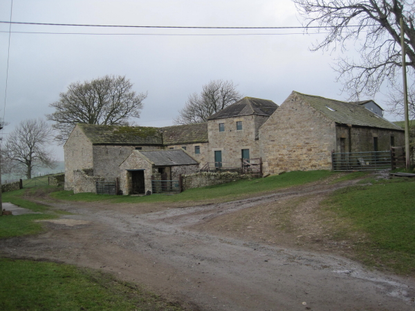
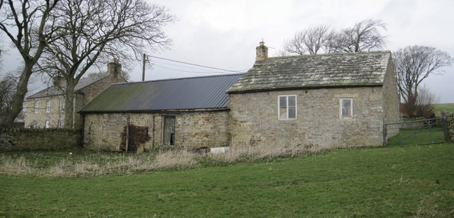
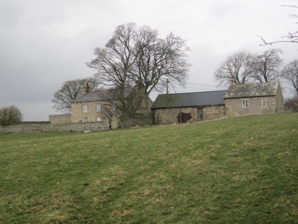
King's Wood is a picturesque forest located in the county of Northumberland, England. Covering an area of approximately 300 hectares, it is a popular destination for nature lovers and outdoor enthusiasts. The wood is situated near the village of Longframlington, about 20 kilometers west of the city of Alnwick.
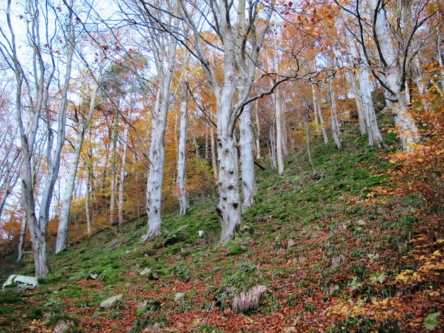
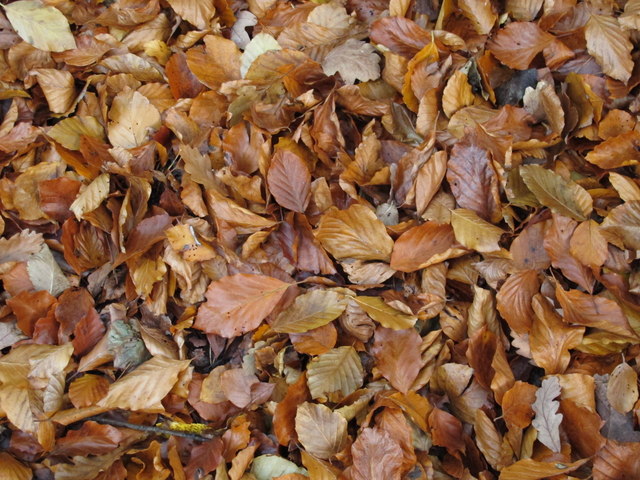
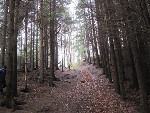
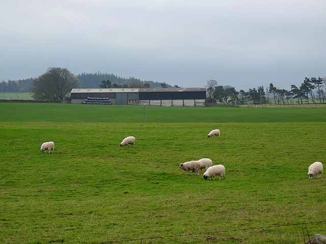
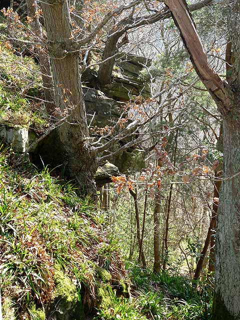
King's Wood boasts a diverse range of flora and fauna, making it a haven for wildlife. The forest is predominantly composed of broadleaf trees, including oak, ash, and beech, which create a rich and vibrant canopy. Underneath, the forest floor is adorned with a variety of wildflowers, ferns, and mosses, adding to the area's natural beauty.
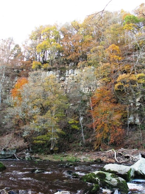
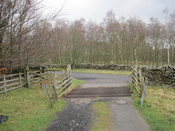
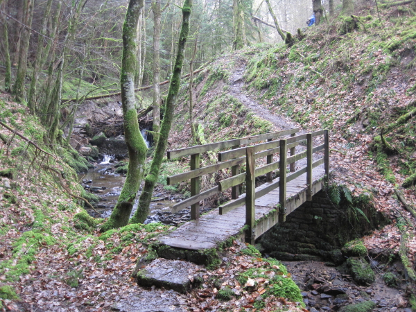
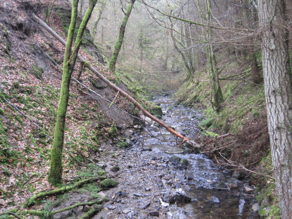
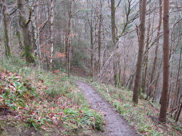
The wood is crisscrossed by several well-maintained footpaths and trails, allowing visitors to explore its hidden treasures at their own pace. These paths lead to secluded glades, babbling brooks, and tranquil ponds, providing a sense of tranquility and serenity. The forest also features several viewpoints, offering breathtaking vistas of the surrounding countryside.
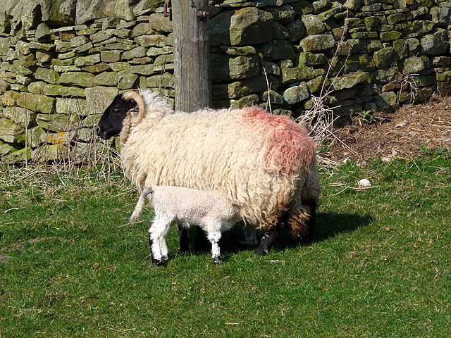
King's Wood is home to a diverse range of wildlife, including deer, foxes, badgers, and various species of birds. It is particularly noted for its population of red squirrels, which thrive in the woodland's favorable habitat. Birdwatchers are often treated to sightings of woodpeckers, owls, and various migratory birds in the area.
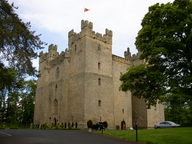
In addition to its natural beauty, King's Wood holds historical significance, with evidence of ancient human settlements dating back thousands of years. Archaeological remains, such as Bronze Age burial mounds and Roman forts, can be found within the forest, providing glimpses into the area's rich past.
Overall, King's Wood offers a captivating blend of natural beauty, biodiversity, and historical significance, making it a cherished destination for both locals and visitors alike.
If you have any feedback on the listing, please let us know in the comments section below.
King's Wood Images
Images are sourced within 2km of 54.945543/-2.3183737 or Grid Reference NY7961. Thanks to Geograph Open Source API. All images are credited.


King's Wood is located at Grid Ref: NY7961 (Lat: 54.945543, Lng: -2.3183737)
Unitary Authority: Northumberland
Police Authority: Northumbria
What 3 Words
///highlight.laying.signature. Near Bardon Mill, Northumberland
Nearby Locations
Related Wikis

Staward Peel
Staward Peel, or Staward Pele, is a peel tower located in the National Trust property of Allen Banks & Staward Gorge in Northumberland, England. ��2�...

Briarwood Banks
Briarwood Banks is the name given to a woodland Site of Special Scientific Interest (SSSI) in north Northumberland, North East England. Composed mainly...

Allen Banks & Staward Gorge
Allen Banks & Staward Gorge is National Trust property in the English county of Northumberland. It is a Victorian garden in a gorge of the River Allen...

Staward Halt railway station
Staward Halt is a closed stone built railway station situated on a single track branch railway line in Northumberland, England, that ran from Allendale...

Allen Confluence Gravels
The Allen Confluence Gravels is the name given to a Site of Special Scientific Interest (SSSI) in Northumberland, England. The site, listed since 1968...

Beltingham
Beltingham is a small village on the River South Tyne in Northumberland, in England. It is situated 1 mile (2 km) southeast of Bardon Mill and 10 miles...
Langley, Northumberland
Langley or Langley-on-Tyne is a small village in Northumberland, England, located to the west of Hexham. The village is on the A686 about 3 miles (5 km...
Ridley Hall, Northumberland
Ridley Hall is an 18th-century country house, now a residential and conference centre, at Bardon Mill, Northumberland. It is a Grade II listed building...
Nearby Amenities
Located within 500m of 54.945543,-2.3183737Have you been to King's Wood?
Leave your review of King's Wood below (or comments, questions and feedback).