Back Common

Wood, Forest in Gloucestershire Stroud

England

Back Common

Old Milestone, A46 In the parish of Hawkesbury, just North of Starveall. On the Eastern verge, buried up to half of the existing original plate. Rivet Benchmark representing 189.7 m ASL. 

Inscription: Bath / XVI / Glou / XXII

Milestone Society National ID: GL_BAGL16
Old Milestone, A46 Credit: Mr Red

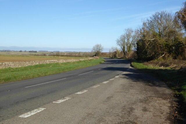
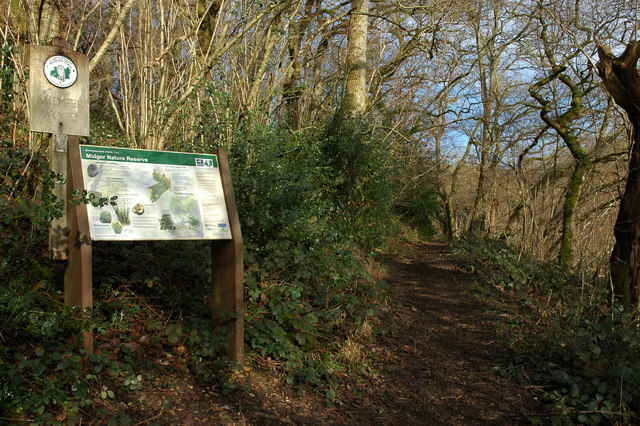
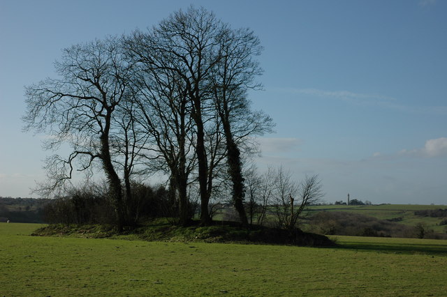
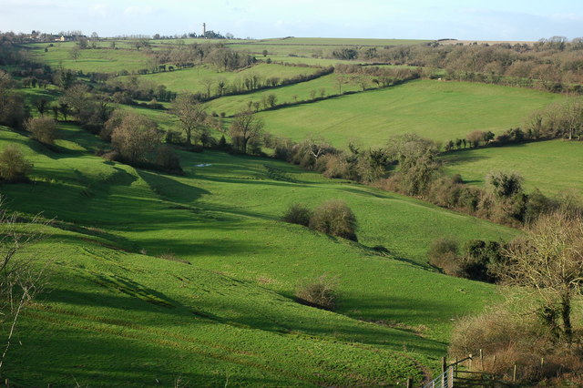
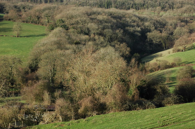
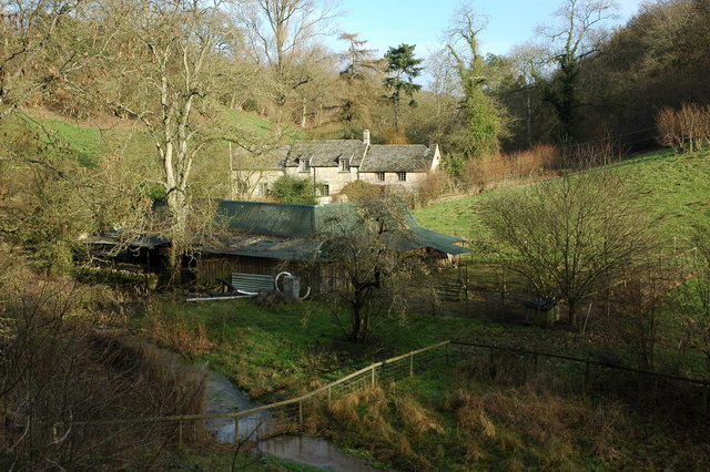
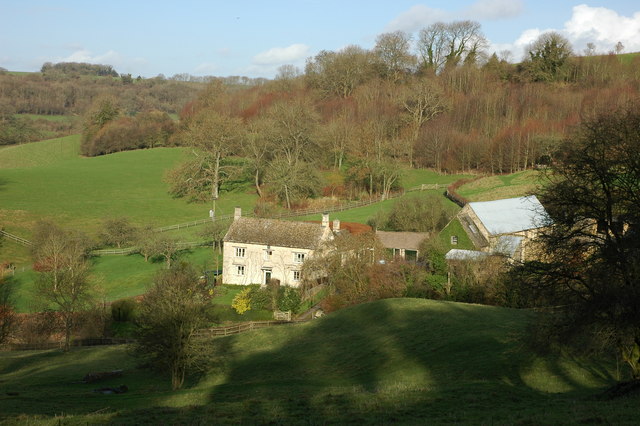
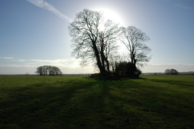
Back Common is a picturesque woodland area located in Gloucestershire, England. Situated within the Forest of Dean, it encompasses a vast expanse of natural beauty and serves as a popular destination for nature enthusiasts and outdoor adventurers alike.

The woodland itself is characterized by a dense canopy of tall, ancient trees, predominantly consisting of oak and beech. These towering giants provide a serene and tranquil atmosphere, offering visitors a respite from the hustle and bustle of everyday life. The forest floor is adorned with a rich carpet of lush green vegetation, interspersed with vibrant wildflowers during the spring and summer months.

Back Common is home to a diverse range of wildlife, making it an ideal spot for animal lovers and birdwatchers. Red deer can often be spotted grazing peacefully in the glades, while foxes and badgers roam the undergrowth. The area is also a haven for bird species, with a variety of woodland birds such as woodpeckers, owls, and thrushes making their homes here.

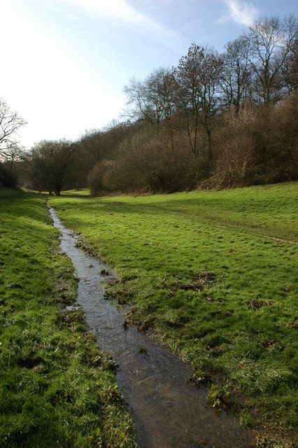
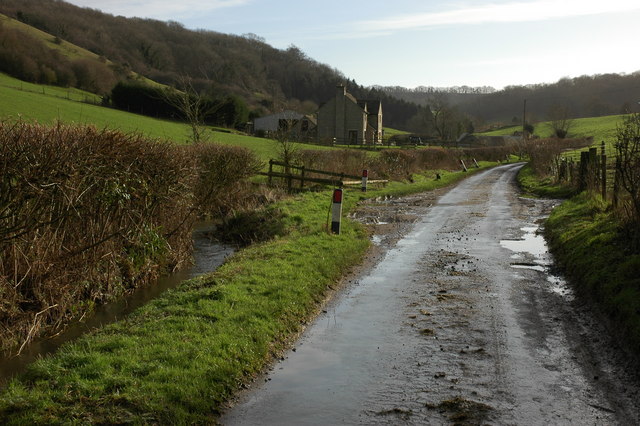
For those seeking adventure, Back Common offers numerous walking and cycling trails, allowing visitors to explore the forest at their own pace. The paths wind through the woodland, offering glimpses of hidden streams and tranquil ponds along the way. The area is also crisscrossed with bridleways, making it a popular destination for horse riders.

Overall, Back Common, Gloucestershire is a true gem of natural beauty. Its ancient woodlands, diverse wildlife, and peaceful ambiance make it a must-visit destination for anyone seeking a connection with nature.

If you have any feedback on the listing, please let us know in the comments section below.
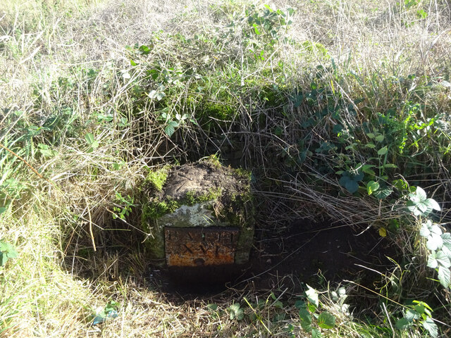
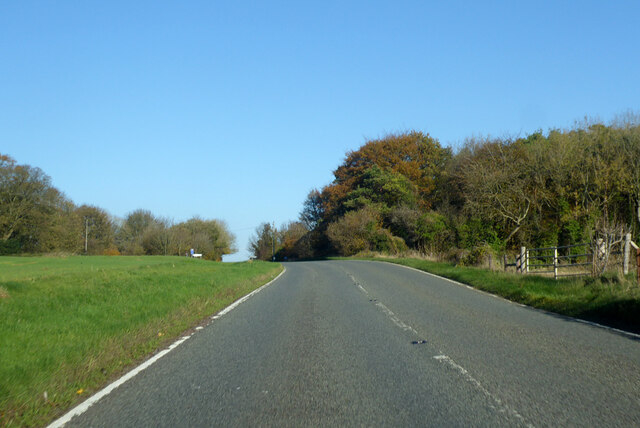
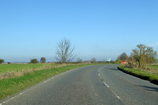
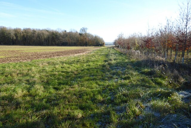
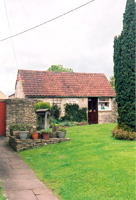
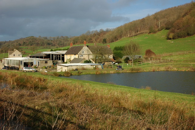
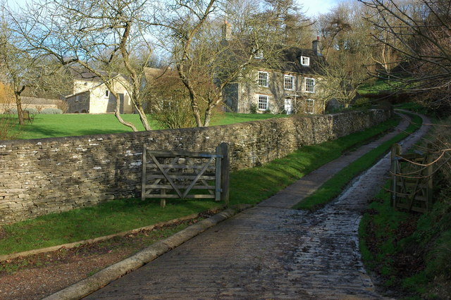
Back Common Images

Images are sourced within 2km of 51.600738/-2.2953972 or Grid Reference ST7989. Thanks to Geograph Open Source API. All images are credited.

Old Milestone, A46 In the parish of Hawkesbury, just North of Starveall. On the Eastern verge, buried up to half of the existing original plate. Rivet Benchmark representing 189.7 m ASL. 

Inscription: Bath / XVI / Glou / XXII

Milestone Society National ID: GL_BAGL16
Old Milestone, A46
In the parish of Hawkesbury, just North of Starveall. On the Eastern verge, buried up to half of the existing original plate. Rivet Benchmark representing 189.7 m ASL. Inscription: Bath / XVI / Glou / XXII Milestone Society National ID: GL_BAGL16
A46 heading north Towards Stroud.
A46 heading north
Towards Stroud.
A46 heading north Towards Stroud.
A46 heading north
Towards Stroud.
Restricted byway to Oldbury on the Hill This right of way across farmland is just metres to the north of the county boundary between Gloucestershire and South Gloucestershire.
Restricted byway to Oldbury on the Hill
This right of way across farmland is just metres to the north of the county boundary between Gloucestershire and South Gloucestershire.
The A46 near Upper Kilcot
The Post Office, Hawkesbury-Upton, Nr. Yate and Chipping Sodbury, S. Gloucs. The Post Office is located on Back Street on the same side of the street as the village Methodist Chapel.   Prim Curtis, the village postmistress from 1975 to 2005 has confirmed that in the early 1800s the building was originally the village police station, with a cell door and its spy-hole still in evidence at the time of the photograph.  Subsequently, the building was used by a local coal merchant, Mr. Hopkins, for coal storage and on the later initiative and application of Mr. and Mrs. Curtis to the Thornbury Council for approval, the building was converted into the village post office.  Hawkesbury-Upton is a Domesday Book listed village and is close to the Cotswold Way.
The Post Office, Hawkesbury-Upton, Nr. Yate and Chipping Sodbury, S. Gloucs.
The Post Office is located on Back Street on the same side of the street as the village Methodist Chapel. Prim Curtis, the village postmistress from 1975 to 2005 has confirmed that in the early 1800s the building was originally the village police station, with a cell door and its spy-hole still in evidence at the time of the photograph. Subsequently, the building was used by a local coal merchant, Mr. Hopkins, for coal storage and on the later initiative and application of Mr. and Mrs. Curtis to the Thornbury Council for approval, the building was converted into the village post office. Hawkesbury-Upton is a Domesday Book listed village and is close to the Cotswold Way.
The Cotswold Way About one mile to the south-west of Alderley the Cotswold Way, following a restricted byway, passes between these coppiced trees.
The Cotswold Way
About one mile to the south-west of Alderley the Cotswold Way, following a restricted byway, passes between these coppiced trees.
Farm at Lower Kilcott Farm with fishing lake at Lower Kilcott.  Viewed from the passing country lane which is the route of both the Cotswold Way and Monarch's Way.
Farm at Lower Kilcott
Farm with fishing lake at Lower Kilcott. Viewed from the passing country lane which is the route of both the Cotswold Way and Monarch's Way.
Upper Kilcott A view of the fine Georgian Upper Kilcott Farmhouse from the passing country road.  The house is Grade II listed, see: <span class="nowrap"><a title="https://historicengland.org.uk/listing/the-list/list-entry/1155957" rel="nofollow ugc noopener" href="https://historicengland.org.uk/listing/the-list/list-entry/1155957">Link</a><img style="margin-left:2px;" alt="External link" title="External link - shift click to open in new window" src="https://s1.geograph.org.uk/img/external.png" width="10" height="10"/></span>
Upper Kilcott
A view of the fine Georgian Upper Kilcott Farmhouse from the passing country road. The house is Grade II listed, see: LinkExternal link
Midger Nature Reserve near Lower Kilcott In the care of Gloucestershire Wildlife Trust Midger Wood is an SSSI.
Midger Nature Reserve near Lower Kilcott
In the care of Gloucestershire Wildlife Trust Midger Wood is an SSSI.
Long Barrow near Upper Kilcott This Long barrow is situated less than half a mile south of Upper Kilcott, the Somerset Monument at Hawkesbury Upton can be seen on the horizon.
Long Barrow near Upper Kilcott
This Long barrow is situated less than half a mile south of Upper Kilcott, the Somerset Monument at Hawkesbury Upton can be seen on the horizon.
Small Coombe, Lower Kilcott Valley between Stickstey Wood and Bangel Wood
Small Coombe, Lower Kilcott
Valley between Stickstey Wood and Bangel Wood
Upton Coombe, Hawkesbury Upton Upton Coombe is situated to the north of Hawkesbury Upton. The Somerset Monument can be seen on the horizon.
Upton Coombe, Hawkesbury Upton
Upton Coombe is situated to the north of Hawkesbury Upton. The Somerset Monument can be seen on the horizon.
Woodland in Upton Coombe
Lane at Lower Kilcott
Curtis Mill near Upper Kilcott
Wine Cellar Farm, Upper Kilcott
Long Barrow near Upper Kilcott
Show me another place!

Back Common is located at Grid Ref: ST7989 (Lat: 51.600738, Lng: -2.2953972)

Administrative County: Gloucestershire

District: Stroud

Police Authority: Gloucestershire

What 3 Words

///inhabited.blushed.rates. Near Wotton-under-Edge, Gloucestershire

Related Wikis

Midger

Midger (grid reference ST797895) is a 65.7-hectare (162-acre) biological Site of Special Scientific Interest straddling the border of Gloucestershire and...

Upton Coombe

Upton Coombe (grid reference ST789877) is a 7.4 hectare biological Site of Special Scientific Interest near the village of Hawkesbury Upton, South Gloucestershire...

Tresham

Tresham is a village in Gloucestershire, England. It was transferred back from the county of Avon in 1991, having been in Gloucestershire before 1972....

Hillesley and Tresham

Hillesley and Tresham is a civil parish in the Stroud District of Gloucestershire, England. It had a population of 591 according to the 2001 census, decreasing...

St Arild's Church, Oldbury-on-the-Hill

St Arild's Church is a historic Anglican church near the village of Oldbury-on-the-Hill, Gloucestershire, England under the care of The Churches Conservation...

Boxwell with Leighterton

Boxwell with Leighterton is a civil parish in the Cotswold district of Gloucestershire, England. According to the 2001 census it had a population of 232...

Dunkirk, Gloucestershire

Dunkirk is a hamlet in the rural north of South Gloucestershire, near the Gloucestershire border, in the parish of Hawkesbury. The hamlet is on an important...

Oldbury-on-the-Hill

Oldbury-on-the-Hill is a small village and former civil parish, now in the parish of Didmarton, in the Cotswold district, in Gloucestershire, England,...

Have you been to Back Common?

Leave your review of Back Common below (or comments, questions and feedback).