West Wood
Wood, Forest in Dorset
England
West Wood

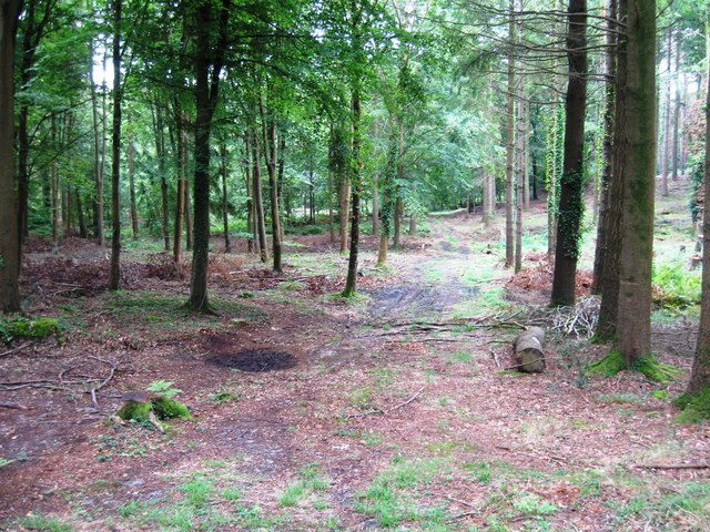
West Wood is a charming forest located in the county of Dorset, England. Covering an area of approximately 200 acres, it is a haven for nature enthusiasts and outdoor adventurers. The wood is situated within the larger expanse of Wareham Forest, near the town of Wareham.
West Wood is predominantly composed of a mixture of deciduous and coniferous trees, creating a diverse and picturesque landscape. Oak, beech, and pine trees dominate the woodland, providing a habitat for a variety of wildlife species. Visitors can expect to encounter deer, foxes, badgers, and an array of bird species while exploring the wood.
The forest offers a network of well-maintained footpaths and trails, making it an ideal destination for walking, hiking, and cycling. These paths wind through the enchanting woodland, allowing visitors to immerse themselves in its natural beauty. Additionally, the wood features a picnic area, where visitors can relax and enjoy a meal amidst the tranquility of nature.
West Wood is also notable for its historical significance. It was once part of a larger royal hunting ground and has been used for timber production throughout the centuries. Today, the wood is managed by the Forestry Commission, ensuring its preservation and sustainable use for future generations.
Overall, West Wood in Dorset offers a peaceful retreat from the hustle and bustle of everyday life. With its scenic beauty, diverse wildlife, and recreational opportunities, it is a destination that appeals to nature lovers and outdoor enthusiasts alike.
If you have any feedback on the listing, please let us know in the comments section below.
West Wood Images
Images are sourced within 2km of 50.692884/-2.29189 or Grid Reference SY7988. Thanks to Geograph Open Source API. All images are credited.


West Wood is located at Grid Ref: SY7988 (Lat: 50.692884, Lng: -2.29189)
Unitary Authority: Dorset
Police Authority: Dorset
What 3 Words
///healers.buzzer.polices. Near Bovington Camp, Dorset
Nearby Locations
Related Wikis
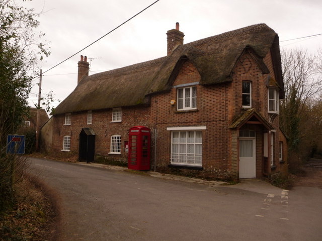
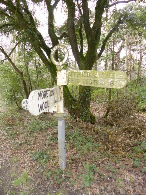
Moreton, Dorset
Moreton is a village and civil parish in Dorset, England, situated on the River Frome about 8 miles (13 km) east of Dorchester. In the 2011 census the...

St Nicholas' Church, Moreton
St Nicholas' is a Church of England parish church at Moreton, Dorset, England. It is known for its thirteen windows, engraved by the poet and artist Sir...
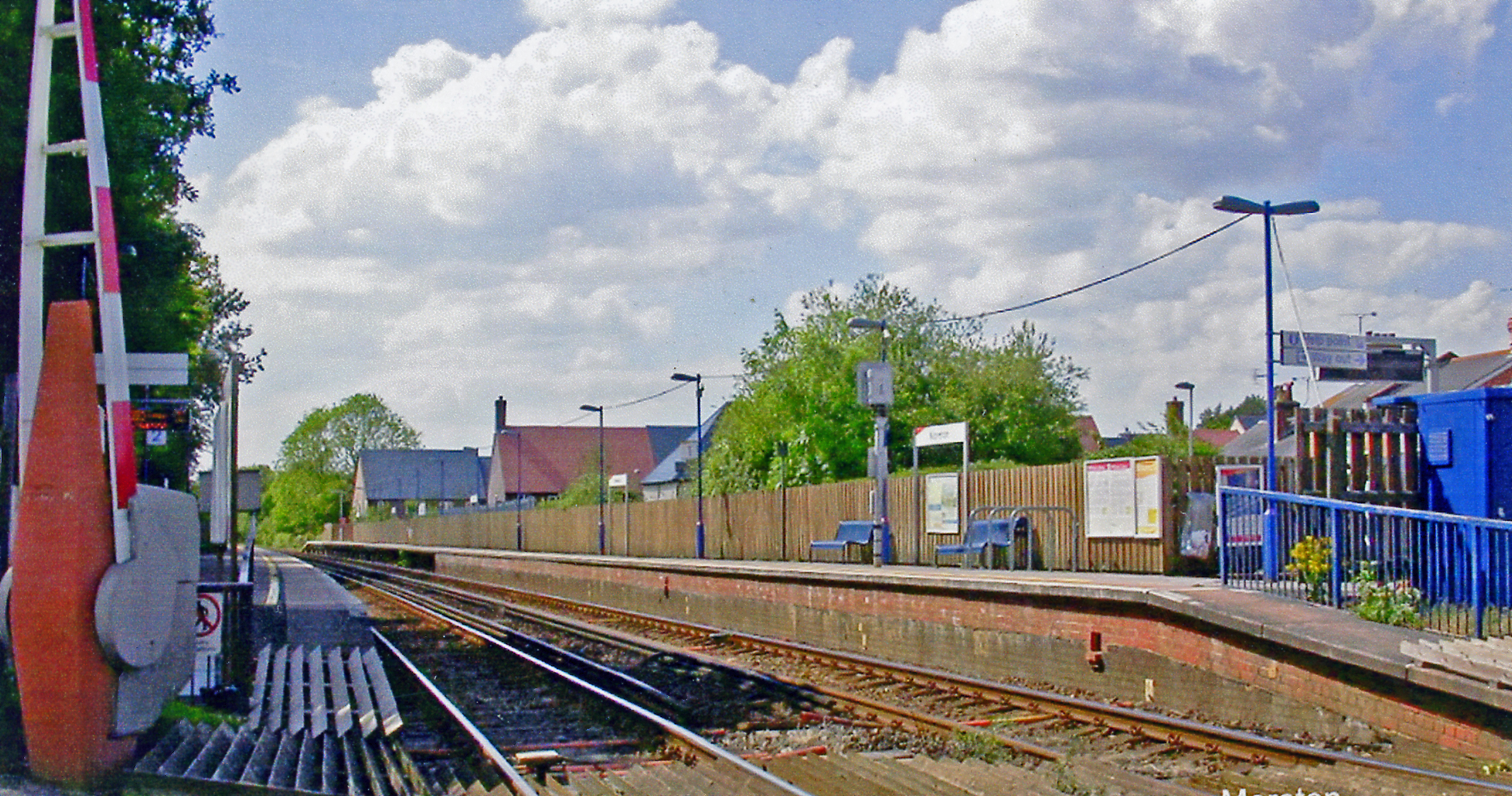
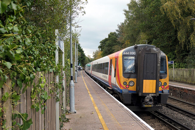
Moreton railway station (Dorset)
Moreton railway station serves the villages of Moreton and Crossways in Dorset, England. It is operated by South Western Railway and is served by their...
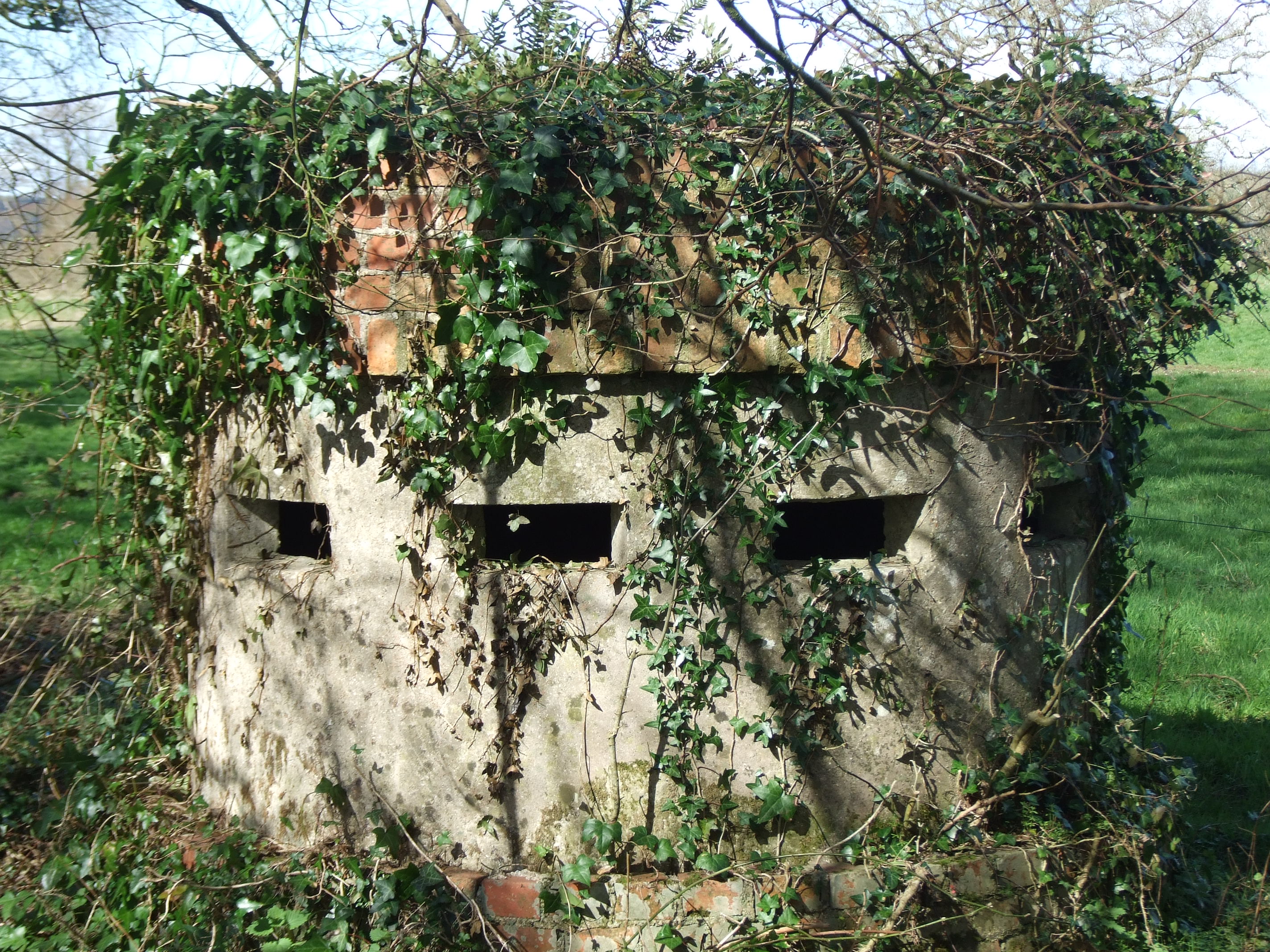
Norcon pillbox
The Norcon pillbox is a type of hardened field fortification built in Britain during the invasion crisis of 1940–1941. It was a small circular pillbox...
Have you been to West Wood?
Leave your review of West Wood below (or comments, questions and feedback).