Alcove Wood

Wood, Forest in Gloucestershire Stroud

England

Alcove Wood

Stone Stile, Uley Stepps embedded in the wall from "the Street" to the entrance to the churchyard.
Stone Stile, Uley Credit: Jayne Tovey

Alcove Wood is a picturesque woodland located in the county of Gloucestershire, England. Situated in the heart of the Forest of Dean, this enchanting wood is renowned for its natural beauty and diverse ecosystem. Spanning an area of approximately 50 acres, Alcove Wood is a haven for nature enthusiasts and outdoor adventurers alike.

The wood is characterized by its dense canopy of towering oak, beech, and ash trees that provide a sheltered and serene atmosphere. These ancient trees, some of which are hundreds of years old, create a vibrant tapestry of greens throughout the seasons. The woodland floor is adorned with a carpet of wildflowers, ferns, and moss, adding to the enchantment of the surroundings.

Alcove Wood is home to a wide range of flora and fauna, showcasing the biodiversity of the Forest of Dean. Visitors may spot various bird species such as woodpeckers, owls, and thrushes, while small mammals like foxes, badgers, and squirrels can also be observed in their natural habitat.

The wood offers a network of well-maintained walking trails, enabling visitors to explore its beauty at their own pace. These trails wind through the woodland, offering glimpses of babbling brooks, hidden clearings, and breathtaking viewpoints. The tranquility and seclusion of Alcove Wood make it an ideal destination for those seeking solace in nature or engaging in activities such as birdwatching, photography, or simply enjoying a peaceful stroll.

Alcove Wood is a true gem within the Forest of Dean, captivating visitors with its natural charm and providing a sanctuary for wildlife in Gloucestershire.

If you have any feedback on the listing, please let us know in the comments section below.
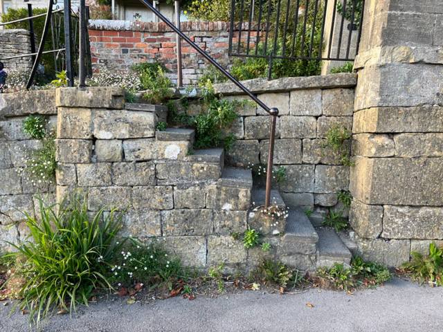
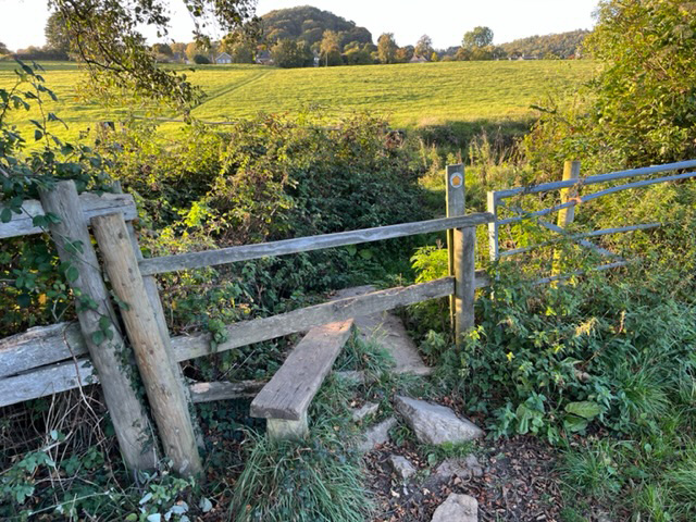
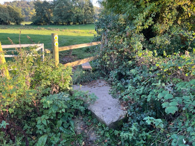
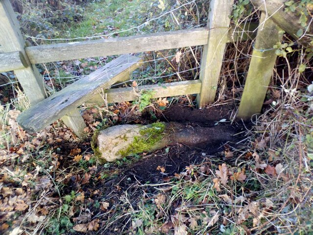
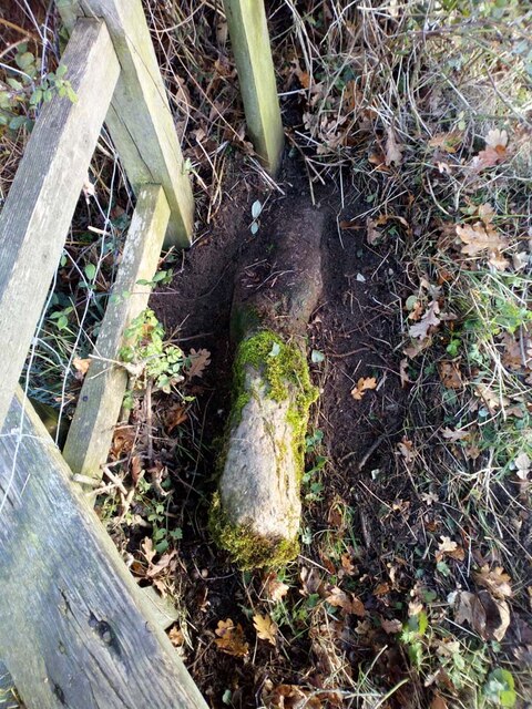
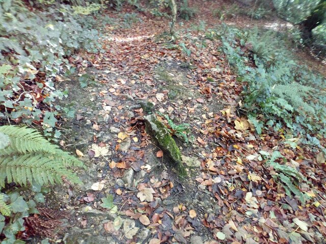
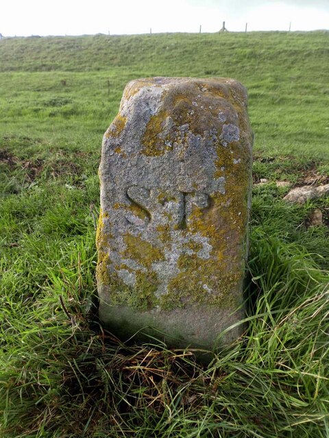
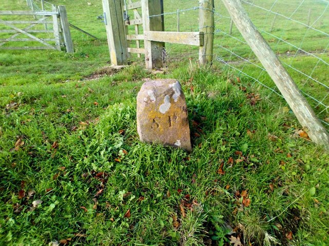
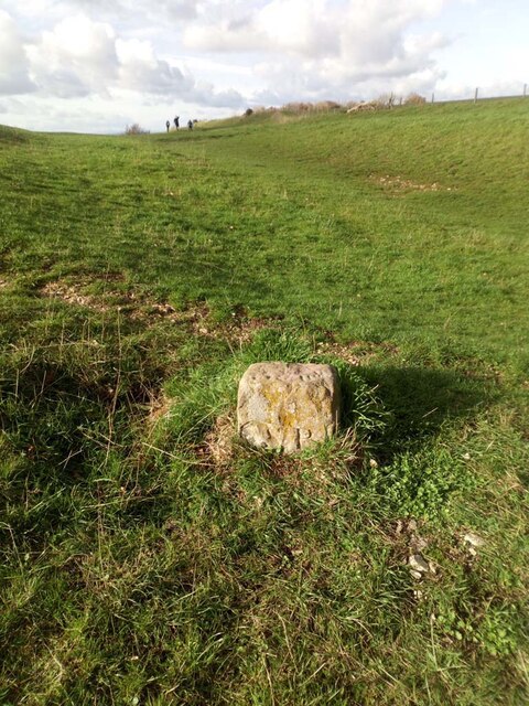
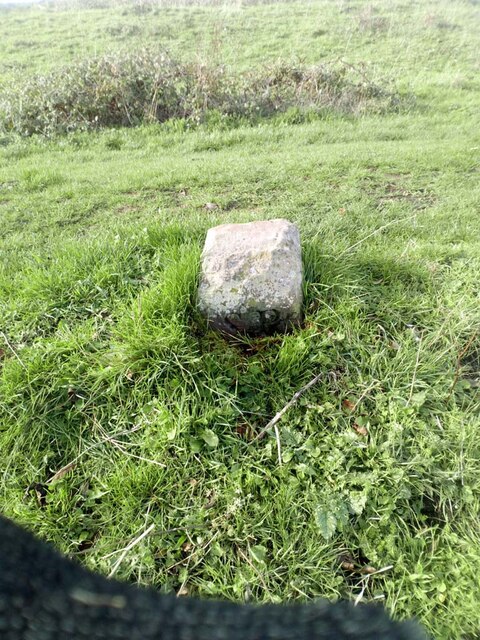
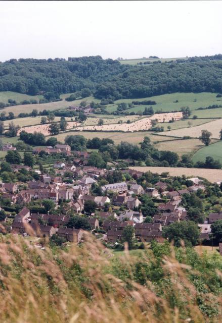
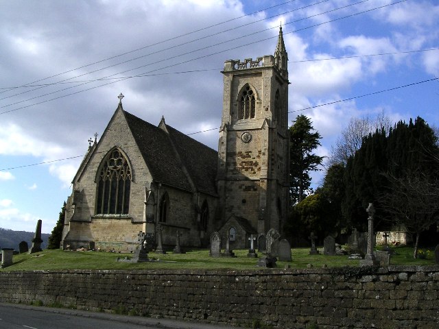
Alcove Wood Images

Images are sourced within 2km of 51.673729/-2.2987933 or Grid Reference ST7997. Thanks to Geograph Open Source API. All images are credited.

Stone Stile, Uley Stepps embedded in the wall from "the Street" to the entrance to the churchyard.
Stone Stile, Uley
Stepps embedded in the wall from "the Street" to the entrance to the churchyard.
Stone Stile, Uley On Gloucestershire footpaths CUL42, CUL39 & CUL45 West of the village, looking NE. The view NW is <a href="https://www.geograph.org.uk/photo/7309120">ST7998 : Stone Stile, Uley</a>.
Stone Stile, Uley
On Gloucestershire footpaths CUL42, CUL39 & CUL45 West of the village, looking NE. The view NW is ST7998 : Stone Stile, Uley.
Stone Stile, Uley On Gloucestershire footpaths CUL42, CUL39 & CUL45 West of the village, looking NW. The view NE is <a href="https://www.geograph.org.uk/photo/7309117">ST7998 : Stone Stile, Uley</a>.
Stone Stile, Uley
On Gloucestershire footpaths CUL42, CUL39 & CUL45 West of the village, looking NW. The view NE is ST7998 : Stone Stile, Uley.
Stone Stiles, Uley The sunken remnants of a stone tile on the junction of Gloucestershire footpaths CUL63 & COW16 looking NE.
The close-up view looking SE is <a href="https://www.geograph.org.uk/photo/7338280">ST7997 : Stone Stiles, Uley</a>.
Stone Stiles, Uley
The sunken remnants of a stone tile on the junction of Gloucestershire footpaths CUL63 & COW16 looking NE. The close-up view looking SE is ST7997 : Stone Stiles, Uley.
Stone Stiles, Uley The sunken remnants of a stone tile on the junction of Gloucestershire footpaths CUL63 & COW16 looking SE.
The context view looking NE is <a href="https://www.geograph.org.uk/photo/7338278">ST7997 : Stone Stiles, Uley</a>.
Stone Stiles, Uley
The sunken remnants of a stone tile on the junction of Gloucestershire footpaths CUL63 & COW16 looking SE. The context view looking NE is ST7997 : Stone Stiles, Uley.
Stone Stile, Uley Opposite Ranks Barn on Gloucestershire footpath CUL18 looking SE along the line of the road. The remains of a "Fallen Idle".
Stone Stile, Uley
Opposite Ranks Barn on Gloucestershire footpath CUL18 looking SE along the line of the road. The remains of a "Fallen Idle".
Boundary Marker, Uley Bury On the South flank one level down from the enclosed part of the opidum (Hill Fort).
One of four along the edge of the escarpment. see <a title="https://www.geograph.org.uk/photo/7338804" href="https://www.geograph.org.uk/photo/7338804">Link</a> & <a title="https://www.geograph.org.uk/photo/7338807" href="https://www.geograph.org.uk/photo/7338807">Link</a> & <a title="https://www.geograph.org.uk/photo/7338813" href="https://www.geograph.org.uk/photo/7338813">Link</a>

the Bury is a Scheduled Monument HE listed - Nᴼ. 1004866 <span class="nowrap"><a title="https://historicengland.org.uk/listing/the-list/list-entry/1004866" rel="nofollow ugc noopener" href="https://historicengland.org.uk/listing/the-list/list-entry/1004866">Link</a><img style="margin-left:2px;" alt="External link" title="External link - shift click to open in new window" src="https://s1.geograph.org.uk/img/external.png" width="10" height="10"/></span>

Inscription: SP (see below)

The 1838 tithe apportionment records nearly 80 acres of land in Uley, including land on the side of the Bury with the markers, was owned by Harry Keighly Peach (then a minor).  It is possible that SP stands for Samuel Peach, who inherited land in Uley in 1776, or his son, Samuel, who inherited in 1791 (Bigland’s Monumental Inscriptions, which adds that “it was a small estate and now subdivided”), and that Harry’s land was previously theirs.
Boundary Marker, Uley Bury
On the South flank one level down from the enclosed part of the opidum (Hill Fort). One of four along the edge of the escarpment. see Link & Link & Link the Bury is a Scheduled Monument HE listed - Nᴼ. 1004866 LinkExternal link Inscription: SP (see below) The 1838 tithe apportionment records nearly 80 acres of land in Uley, including land on the side of the Bury with the markers, was owned by Harry Keighly Peach (then a minor). It is possible that SP stands for Samuel Peach, who inherited land in Uley in 1776, or his son, Samuel, who inherited in 1791 (Bigland’s Monumental Inscriptions, which adds that “it was a small estate and now subdivided”), and that Harry’s land was previously theirs.
Boundary Marker, Uley Bury On the South flank one level down from the enclosed part of the opidum (Hill Fort).
One of four along the edge of the escarpment. see <a title="https://www.geograph.org.uk/photo/7338800" href="https://www.geograph.org.uk/photo/7338800">Link</a> & <a title="https://www.geograph.org.uk/photo/7338807" href="https://www.geograph.org.uk/photo/7338807">Link</a> & <a title="https://www.geograph.org.uk/photo/7338813" href="https://www.geograph.org.uk/photo/7338813">Link</a>

the Bury is a Scheduled Monument HE listed - Nᴼ. 1004866 <span class="nowrap"><a title="https://historicengland.org.uk/listing/the-list/list-entry/1004866" rel="nofollow ugc noopener" href="https://historicengland.org.uk/listing/the-list/list-entry/1004866">Link</a><img style="margin-left:2px;" alt="External link" title="External link - shift click to open in new window" src="https://s1.geograph.org.uk/img/external.png" width="10" height="10"/></span>

Inscription: SP (see below)

The 1838 tithe apportionment records nearly 80 acres of land in Uley, including land on the side of the Bury with the markers, was owned by Harry Keighly Peach (then a minor).  It is possible that SP stands for Samuel Peach, who inherited land in Uley in 1776, or his son, Samuel, who inherited in 1791 (Bigland’s Monumental Inscriptions, which adds that “it was a small estate and now subdivided”), and that Harry’s land was previously theirs.
Boundary Marker, Uley Bury
On the South flank one level down from the enclosed part of the opidum (Hill Fort). One of four along the edge of the escarpment. see Link & Link & Link the Bury is a Scheduled Monument HE listed - Nᴼ. 1004866 LinkExternal link Inscription: SP (see below) The 1838 tithe apportionment records nearly 80 acres of land in Uley, including land on the side of the Bury with the markers, was owned by Harry Keighly Peach (then a minor). It is possible that SP stands for Samuel Peach, who inherited land in Uley in 1776, or his son, Samuel, who inherited in 1791 (Bigland’s Monumental Inscriptions, which adds that “it was a small estate and now subdivided”), and that Harry’s land was previously theirs.
Boundary Marker, Uley Bury On the South flank one level down from the enclosed part of the opidum (Hill Fort).
One of four along the edge of the escarpment. see <a title="https://www.geograph.org.uk/photo/7338800" href="https://www.geograph.org.uk/photo/7338800">Link</a> & <a title="https://www.geograph.org.uk/photo/7338804" href="https://www.geograph.org.uk/photo/7338804">Link</a> & <a title="https://www.geograph.org.uk/photo/7338813" href="https://www.geograph.org.uk/photo/7338813">Link</a>

the Bury is a Scheduled Monument HE listed - Nᴼ. 1004866 <span class="nowrap"><a title="https://historicengland.org.uk/listing/the-list/list-entry/1004866" rel="nofollow ugc noopener" href="https://historicengland.org.uk/listing/the-list/list-entry/1004866">Link</a><img style="margin-left:2px;" alt="External link" title="External link - shift click to open in new window" src="https://s1.geograph.org.uk/img/external.png" width="10" height="10"/></span>

Inscription: SP
Boundary Marker, Uley Bury
On the South flank one level down from the enclosed part of the opidum (Hill Fort). One of four along the edge of the escarpment. see Link & Link & Link the Bury is a Scheduled Monument HE listed - Nᴼ. 1004866 LinkExternal link Inscription: SP
Boundary Marker, Uley Bury On the South flank one level down from the enclosed part of the opidum (Hill Fort).
One of four along the edge of the escarpment. see <a title="https://www.geograph.org.uk/photo/7338800" href="https://www.geograph.org.uk/photo/7338800">Link</a> & <a title="https://www.geograph.org.uk/photo/7338804" href="https://www.geograph.org.uk/photo/7338804">Link</a> & <a title="https://www.geograph.org.uk/photo/7338807" href="https://www.geograph.org.uk/photo/7338807">Link</a>

The Bury is a Scheduled Monument HE listed - Nᴼ. 1004866 <span class="nowrap"><a title="https://historicengland.org.uk/listing/the-list/list-entry/1004866" rel="nofollow ugc noopener" href="https://historicengland.org.uk/listing/the-list/list-entry/1004866">Link</a><img style="margin-left:2px;" alt="External link" title="External link - shift click to open in new window" src="https://s1.geograph.org.uk/img/external.png" width="10" height="10"/></span>

Inscription: SP (see below)

The 1838 tithe apportionment records nearly 80 acres of land in Uley, including land on the side of the Bury with the markers, was owned by Harry Keighly Peach (then a minor).  It is possible that SP stands for Samuel Peach, who inherited land in Uley in 1776, or his son, Samuel, who inherited in 1791 (Bigland’s Monumental Inscriptions, which adds that “it was a small estate and now subdivided”), and that Harry’s land was previously theirs.
Boundary Marker, Uley Bury
On the South flank one level down from the enclosed part of the opidum (Hill Fort). One of four along the edge of the escarpment. see Link & Link & Link The Bury is a Scheduled Monument HE listed - Nᴼ. 1004866 LinkExternal link Inscription: SP (see below) The 1838 tithe apportionment records nearly 80 acres of land in Uley, including land on the side of the Bury with the markers, was owned by Harry Keighly Peach (then a minor). It is possible that SP stands for Samuel Peach, who inherited land in Uley in 1776, or his son, Samuel, who inherited in 1791 (Bigland’s Monumental Inscriptions, which adds that “it was a small estate and now subdivided”), and that Harry’s land was previously theirs.
Turnpike Cottage, B4058, Horsley Opposite to the lodge for Owlpen Manor, at Latterwood. This Toll House was demolished in the 20ᵗʰ C. 
It served the Coldharbour Turnpike Trust who referred to themselves as the Coldharbour District of Roads, in 1821. 
It was a shop at sometime called "Nibletts". Image courtesy of the Nailsworth Town Archives
Turnpike Cottage, B4058, Horsley
Opposite to the lodge for Owlpen Manor, at Latterwood. This Toll House was demolished in the 20ᵗʰ C. It served the Coldharbour Turnpike Trust who referred to themselves as the Coldharbour District of Roads, in 1821. It was a shop at sometime called "Nibletts". Image courtesy of the Nailsworth Town Archives
Uley The village from Uley Bury Hillfort, Looking South East.
Uley
The village from Uley Bury Hillfort, Looking South East.
Uley, St. Giles church
Hillside cutting Half way up the Cotswolds escarpment on the B4066 is a cutting or old quarry. The road is surrounded by woodlands.
Hillside cutting
Half way up the Cotswolds escarpment on the B4066 is a cutting or old quarry. The road is surrounded by woodlands.
B4058 The B4058 from Nailsworth to Wotton-under-Edge as it crosses the top of the Cotswold Hills.
B4058
The B4058 from Nailsworth to Wotton-under-Edge as it crosses the top of the Cotswold Hills.
Tracks to the trees Tracks through a wheat field leading to a copse in the near distance.
Tracks to the trees
Tracks through a wheat field leading to a copse in the near distance.
Water tower A Bristol Water owned water tower hidden away in the woods.
Water tower
A Bristol Water owned water tower hidden away in the woods.
The 'Old Crown' pub, Uley, Dursley A friendly pub with a good range of real ales, food and an open fire. Not far from the Cotswold Way and thus popular with ramblers.
The 'Old Crown' pub, Uley, Dursley
A friendly pub with a good range of real ales, food and an open fire. Not far from the Cotswold Way and thus popular with ramblers.
Show me another place!

Alcove Wood is located at Grid Ref: ST7997 (Lat: 51.673729, Lng: -2.2987933)

Administrative County: Gloucestershire

District: Stroud

Police Authority: Gloucestershire

What 3 Words

///reserved.soak.headlight. Near Dursley, Gloucestershire

Related Wikis

Bencombe

Bencombe is a hamlet made up of 9 mainly traditional stone cottages/houses in the parish of Uley and just south west of Owlpen on the edge of the Cotswolds...

Stouts Hill

Stouts Hill is an 18th-Century Gothic revival country house situated in the Cotswolds, just outside the village of Uley. Although there are records of...

Uley

Uley is a village and civil parish in the county of Gloucestershire, England. The parish includes the hamlets of Elcombe and Shadwell and Bencombe, all...

Owlpen Manor

Owlpen Manor is a Tudor Grade I listed manor house of the Mander family, situated in the village of Owlpen in the Stroud district in Gloucestershire, England...

Owlpen

Owlpen is a small village and civil parish in the Stroud district of Gloucestershire, England, set in a valley in the Cotswold hills. It is about one mile...

A4135 road

The A4135 road is a road in Gloucestershire, England, connecting the town of Tetbury with the M5 motorway and the A38 road to the west, passing through...

Uley Bury

Uley Bury is the long, flat-topped hill just outside Uley, Gloucestershire, England. It is an impressive multi-vallate, scarp-edge Iron Age hill fort dating...

Kingscote, Gloucestershire

Kingscote is a village and civil parish in the Cotswold district of Gloucestershire, England, set on the uplands near the south western edge of the Cotswold...

Nearby Amenities

Located within 500m of 51.673729,-2.2987933
Lampern House
Landuse: residential
Source: NPE
Lat/Long: 51.6736905/-2.2957909
Lampern Hill
Natural: peak
Source: local_knowledge
Lat/Long: 51.6756309/-2.2984902
Barrier: stile
Description: sunken stone stile
Material: wood
Stile: stepover
Lat/Long: 51.6778067/-2.300725
Barrier: stile
Stile: stepover
Lat/Long: 51.6768838/-2.3017456
Barrier: stile
Stile: stepover
Lat/Long: 51.676966/-2.2977567
Barrier: stile
Stile: stepover
Lat/Long: 51.6732699/-2.2923914
Post Box
Collection Times: Mo-Fr 16:30; Sa 09:00; Su off
Drive Through: no
Operator: Royal Mail
Post Box Type: wall
Ref: GL11 291
Royal Cypher: GR
Royal Cypher Wikidata: Q33102273
Source: survey
Lat/Long: 51.676846/-2.301814
The data included in this document is from www.openstreetmap.org. The data is made available under ODbL.

Have you been to Alcove Wood?

Leave your review of Alcove Wood below (or comments, questions and feedback).