Berrow Wood
Wood, Forest in Worcestershire Malvern Hills
England
Berrow Wood
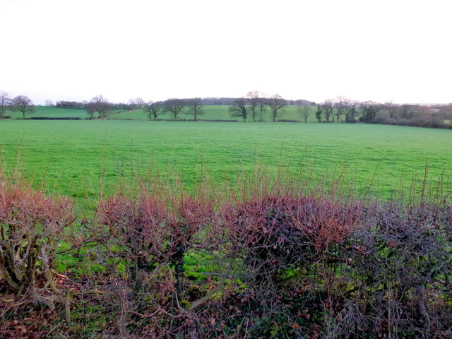
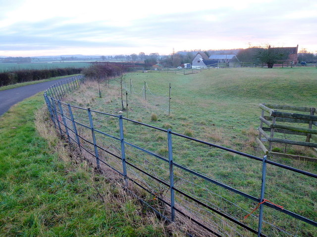
Berrow Wood is a picturesque woodland located in Worcestershire, England. It is situated near the village of Berrow, approximately 6 miles southwest of the town of Worcester. Covering an area of around 250 acres, the wood is a popular destination for nature enthusiasts and locals seeking tranquility.
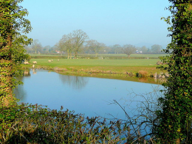
The wood is predominantly comprised of native broadleaf trees, including oak, beech, and ash, which form a dense and lush canopy. This creates a peaceful and shaded environment, perfect for leisurely walks and exploration. The forest floor is adorned with a stunning array of wildflowers, ferns, and mosses, adding to the wood's natural beauty.
Berrow Wood is home to a variety of wildlife, including deer, foxes, badgers, and numerous bird species. It provides an important habitat for these animals, offering shelter, food, and protection. Birdwatchers frequent the wood to spot species such as woodpeckers, owls, and warblers.
The wood is crisscrossed by a network of well-maintained footpaths, making it easily accessible to visitors. These paths lead to several viewpoints and picnic areas, allowing visitors to enjoy the serene surroundings. The wood is also intersected by a small stream, adding to its charm and providing a soothing soundtrack of trickling water.
Berrow Wood is managed by the Worcestershire Wildlife Trust, which ensures its preservation and conservation. The trust organizes educational programs and guided walks, providing visitors with an opportunity to learn about the wood's ecology and biodiversity.
Overall, Berrow Wood is a treasure trove of natural beauty, offering visitors a chance to escape from the hustle and bustle of everyday life and immerse themselves in the tranquility of nature.
If you have any feedback on the listing, please let us know in the comments section below.
Berrow Wood Images
Images are sourced within 2km of 52.001571/-2.3044109 or Grid Reference SO7933. Thanks to Geograph Open Source API. All images are credited.


Berrow Wood is located at Grid Ref: SO7933 (Lat: 52.001571, Lng: -2.3044109)
Administrative County: Worcestershire
District: Malvern Hills
Police Authority: West Mercia
What 3 Words
///unwound.plastic.offshore. Near Corse, Gloucestershire
Nearby Locations
Related Wikis
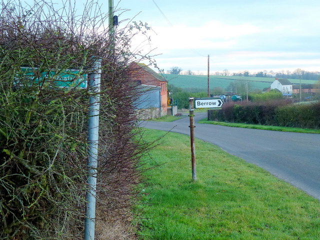
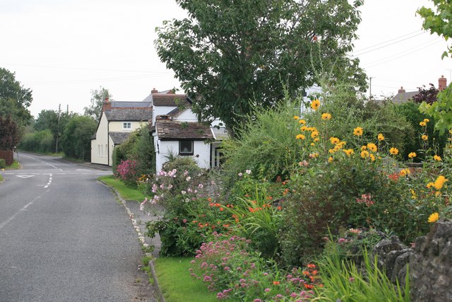
Berrow, Worcestershire
Berrow is a village and civil parish in the Malvern Hills district of Worcestershire, England, about seven miles east of Ledbury. According to the 2021...
Pendock
Pendock is a village and civil parish in the Malvern Hills district in the county of Worcestershire, England, situated about halfway between the towns...
RAF Berrow
Royal Air Force Berrow or more simply RAF Berrow is a former Royal Air Force Satellite Landing Ground located near Berrow, Worcestershire, England. �...

Birtsmorton Court
Birtsmorton Court is a Grade I listed fortified medieval moated manor house near Malvern in Worcestershire, in the former woodlands of Malvern Chase.It...

Birtsmorton
Birtsmorton is a village and civil parish in the Malvern Hills of Worcestershire, England, which at the 2021 census had a population of 257. It is in...
Gadfield Elm Chapel
The Gadfield Elm Chapel near the village of Pendock in Worcestershire, England, is the oldest extant chapel of the Church of Jesus Christ of Latter-day...

Rye Cross
Rye Cross is a hamlet in south-west Worcestershire 1 mile west of Castlemorton, 0.5 miles east of Berrow and 1 mile south of Hollybush, near the borders...

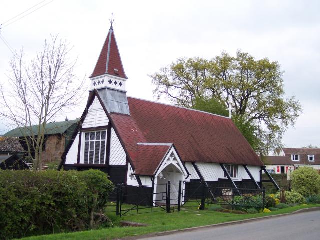
Pendock Church
Pendock Church is a redundant Anglican church standing to the southeast of the hamlet of Sledge Green in the parish of Pendock, Worcestershire, England...
Nearby Amenities
Located within 500m of 52.001571,-2.3044109Have you been to Berrow Wood?
Leave your review of Berrow Wood below (or comments, questions and feedback).